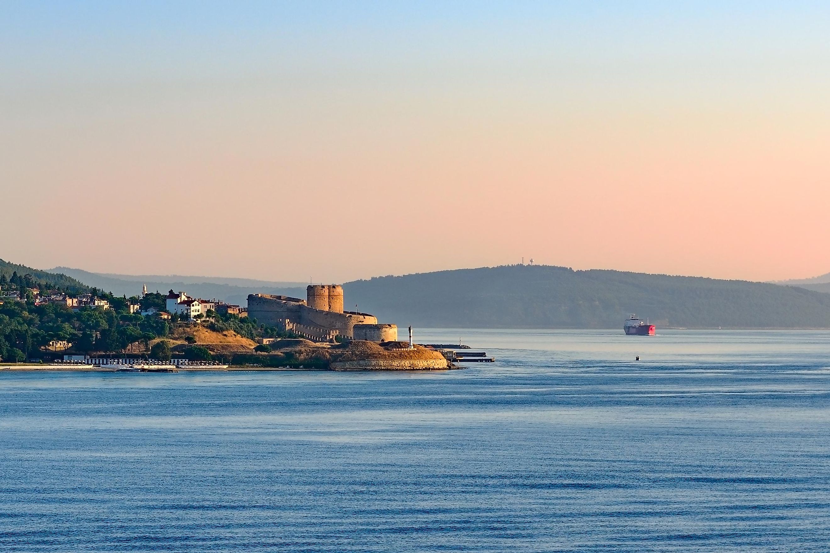
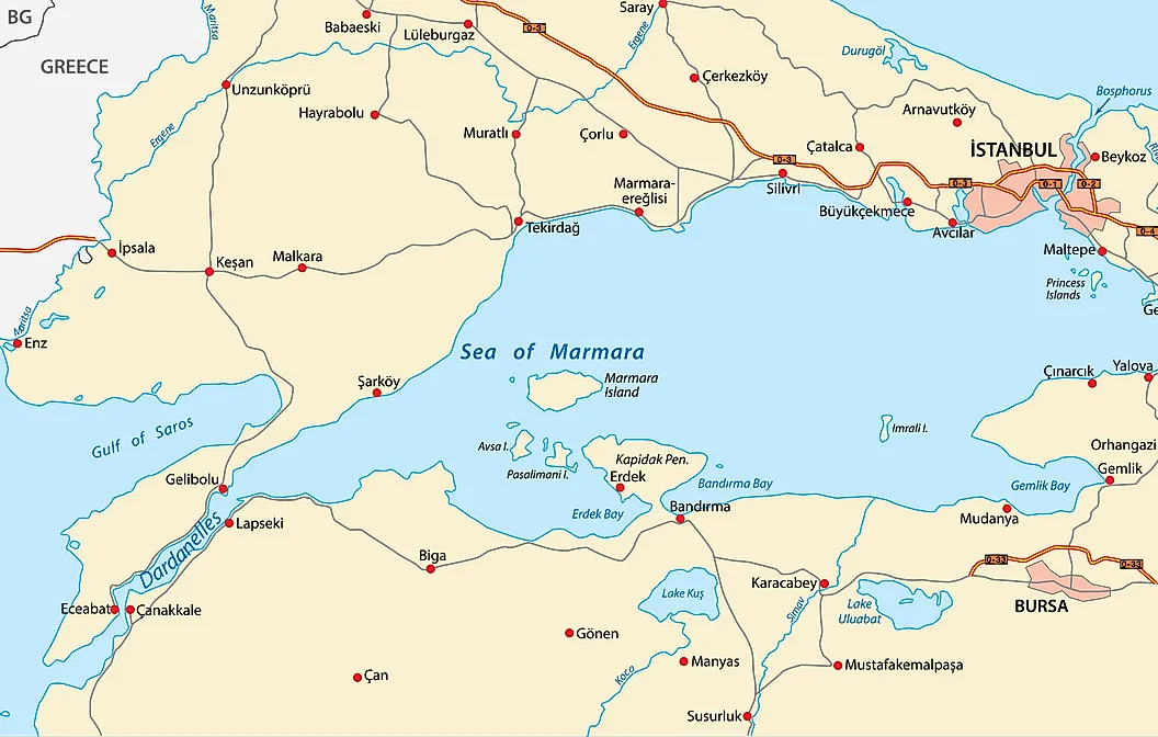
Dardanelles Strait
The Dardanelles Strait is a narrow waterway forming the border between Asian Turkey and European Turkey. It is one of the narrowest water channels used to support international water navigation. The Dardanelles Strait (also called the Strait of Gallipoli), formerly known as the Hellespont, is a narrow waterway in northwestern Turkey. It forms part of the border between Europe and Asia. The strait connects the Aegean Sea to the Sea of Marmara, allowing for passage to the Black Sea via the Bosporus Strait. The Dardanelles Strait has an average depth of 55 m and a maximum depth of 103 m at its narrowest, central section.
Geography
The Dardanelles Strait is a maritime waterway connecting various seas along the eastern Mediterranean and the Balkans. The strait is one the narrowest straits used for international navigation. The northern shores of Dardanelles along the Gallipoli Peninsula are sparsely inhabited, while the southern shores along the Biga Peninsula are densely populated with major castles along the bank. T

The Dardanelles has a length of 61 km and a width ranging from 1.2 to 6.5 km. The waters in the strait are saline, with a rapid surface current that moves from the Sea of Marmara to the Aegean and a compensating underwater current that brings in more saline water from the Mediterranean to the strait.
Brief History

As a passage between the Black Sea and the Mediterranean, the Dardanelles Strait has long been of great significance in commercial trade and military operations. It is used as a sea route by many countries, such as Russia and Ukraine. Therefore, control over the strait has caused significant conflict in modern history, most notably with attacks from the Allied Powers on the Dardanelles Strait during the Battle of Gallipoli in World War I.
The location of the Dardanelles Strait makes it of great significance to Turkey, as it is a driver for economic gain. The waters in the Dardanelles Strait are rich in different fish varieties that migrate between the Aegean Sea and the Black Sea.
Known as Hellespont by the Ancient Greeks, it attracts tourists from across the world who come to take in the sight of the strait, which was the location of many Greek legends and histories. It is the site in the legend of Greek lovers Hero and Leander, and the Trojan War took place near here.


