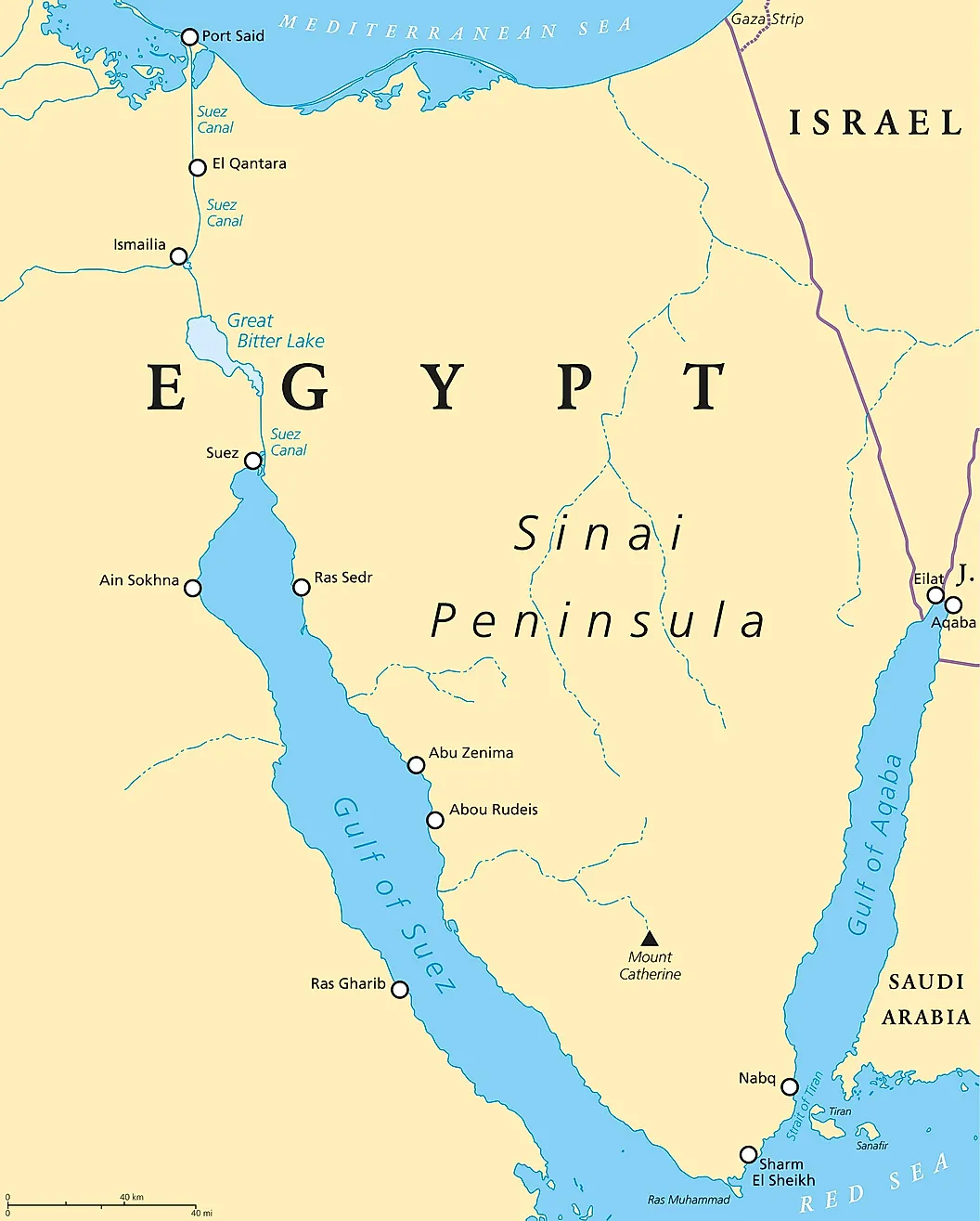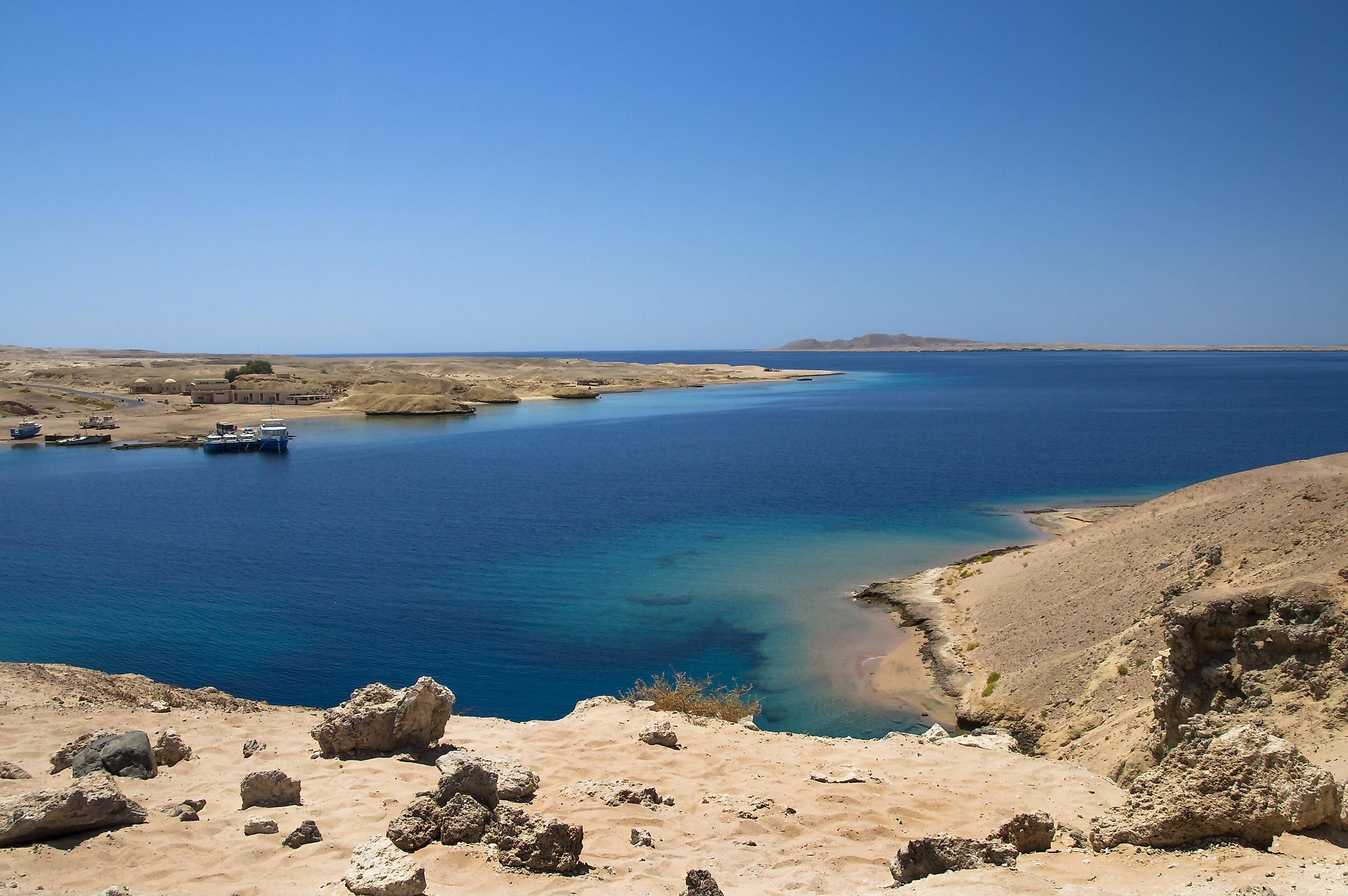
Gulf Of Suez
A gulf is a part of a sea or an ocean that extends into the landmass. Gulfs are formed due to the movement of tectonic plates and greatly vary in shape, size, and depth. The Gulf of Suez is the northwestern extension of the Red Sea that is located between the east coast of Africa and the Sinai Peninsula in Egypt.
The northern part of the Red Sea is bifurcated by the Sinai Peninsula into two gulfs, namely the Gulf of Aqaba in the east and the Gulf of Suez in the west. In the north, the Gulf of Suez is linked with the Mediterranean Sea via the 163 km-long man-made channel known as the Suez Canal.
Geography

The Gulf of Suez formed about 26 million years ago within the Gulf of Suez Rift basin. This long and narrow Gulf extends from the Strait of Jubal in the south to the Egyptian city of Suez in the north. It measures approximately 314 km in length and has a maximum width that varies between 19 to 32 km. The gulf is relatively shallow with a maximum depth of 70 m and an average depth of 40 m. The mid-line of the Gulf of Suez represents the boundary between the continents of Asia and Africa.
Economy

The Gemsa oil and gas field was the first oil field discovered in the Gulf of Suez in 1869. Subsequently, several oil fields were discovered at various locations in the Gulf. These are the Hurghada Field, the Belayim oil field, the El Morgan oil field, and the October field. The Gulf of Suez, therefore, functions as an important navigational waterway for the transportation of petroleum oil and other products. Located in the eastern part of the gulf on the Sinai Peninsula is the Port of Abū Zanīmah which serves the nearby manganese mines of Umm Bujmah.