Laptev Sea
Covering an area of 714,000 km2, the Laptev Sea is a marginal sea of the Arctic Ocean that is located to the north of Siberia, Russia. The sea was formerly known as the Nordenskiöld Sea, and it was renamed in honor of the two Russian explorers, Khariton Laptev and Dmitri Laptev. The Laptev Sea forms a critically important part of the Northern Sea Route, an economically important shipping route.
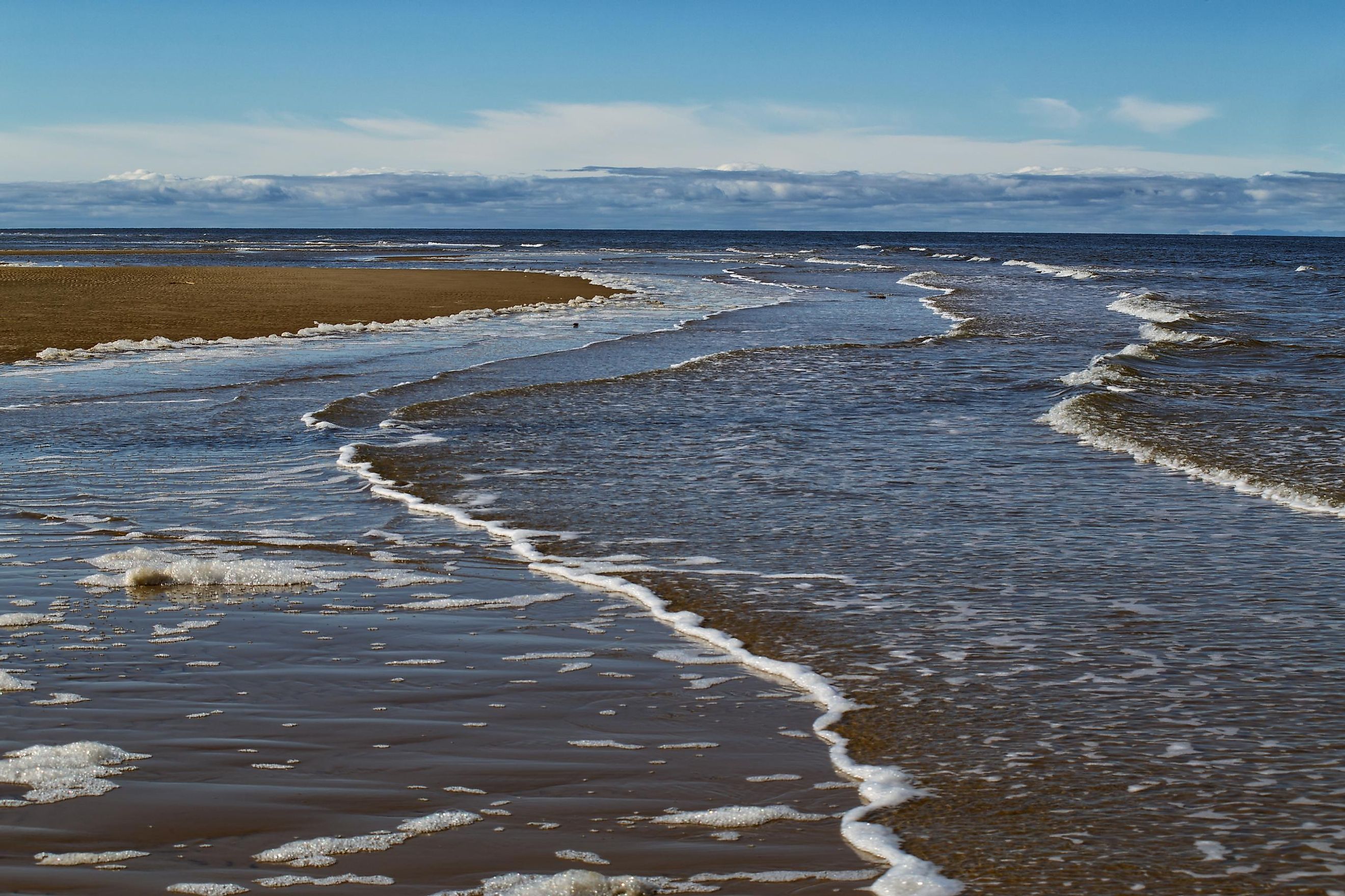
Where Is The Laptev Sea?

The Laptev Sea is bordered by the Taimyr Peninsula and the Severnaya Zemlya archipelago in the west; by the New Siberian Islands in the east and by the northern part of Siberia (East Siberian Lowland) in the south. The sea extends in the north into the Arctic Ocean. It is connected with the East Siberian Sea in the east by the Sannikov strait and the Dmitrya Lapteva strait. In the west, the Laptev Sea is separated from the Kara Sea by the Severnaya Zemlya archipelago.
Geography

The Laptev Sea is positioned within the continental shelf and has a maximum depth of 3,385 m. A major portion of the sea is relatively shallow, with about 50% of the sea less than 50 m deep, leading to an estimated average depth of 578 m. The sea’s coastline is quite indented and forms a few bays and gulfs of different sizes, namely the Yana Bay, the Maria Pronchishcheva Bay, the Olenyok Gulf, the Khatanga Gulf, and the Buor-Khaya Gulf. Some of the notable rivers that drain into the Laptev Sea include the Lena River, Anabar, Khatanga, Olenek, Yana, and Omoloy rivers. There are more than a dozen islands in the Laptev Sea. These islands occupy a combined area of about 3,784 km2 and are mostly found in the river deltas and in the sea’s western part. The principal islands that are found here include the Bolshoy Begichev, Maly Taymyr, Starokadomsky, Belkovsky, Stolbovoy, and Peschanyy. Some of the important island groups include the Komsomolskaya Pravda, Faddey and Vilkitsky, and the Severnaya Zemlya.
Among all the Arctic Seas, the Laptev Sea is the most severe and faces an extremely harsh continental climate. The average temperature ranges between -31° to -34°C (sometimes down to -50°C) during the coldest month, January. The winter months are characterized by snowstorms, gales, and blizzards. In July, the average temperature in the southern part of the sea is about 6°C, while in the northern part it is just above the freezing point. However, the maximum temperature along the shores ranges between 22°-24°C. The short summer months are characterized by fogs and snow squalls. The Laptev Sea is colloquially known as the "birthplace of ice." Except during August and September, the sea remains covered with ice during most of the year. The extensive freshwater outflow from the rivers that drain into the sea and the thawing of ice is responsible for the varied salinity of the Laptev Sea.
Marine Life

Due to the extremely harsh climatic conditions, the Laptev Sea has a scarcity of flora and fauna. The flora in the Laptev Sea is mainly represented by diatoms. About 30 species of zooplanktons are also found in the sea. More than 39 species of fish are found here that include muksun, Coregonus, nelma, omul, sardine, saffron cod, flounder, and sturgeon. Numerous colonies of seabirds are found along the steep banks of the sea. Some of the notable birds include the snowy owl, snow bunting, brent goose, purple sandpiper, black guillemot, little auk, sterna, Ross’s gull, northern fulmar, etc. The marine mammals that are found here include the different species of seals (ringed, bearded, and harp), Arctic hare, ermine, collared lemming, Arctic fox, reindeer, walrus, and polar bear.
Covering an area of 14,330 km2 in the Lena River delta, the Ust-Lena Nature Reserve was established in 1985. This reserve on the coast of the Laptev Sea hosts about 402 plant species, 32 fish species, 109 species of birds, and 33 mammalian species.
Brief History

The Laptev Sea region had been inhabited since ancient times by the Indigenous Chuvans and Yukaghirs of northern Siberia. In later years, they were joined by the Evenks and Yakuts. These tribal peoples mainly practiced hunting, fishing, and reindeer husbandry along the Laptev Sea region. In the 17th century, the Russians started exploring the Laptev Sea and the nearby islands. In 1712, the Arctic explorers Merkury Vagin and Yakov Permyakov had explored the sea’s eastern coast and subsequently discovered the Bolshoy-Lakhovsky Island. During the Great Northern Expedition, the two Russian Arctic explorers Dmitri Laptev and his cousin Khariton Laptev had surveyed major portions of the Laptev Sea.
Tiksi is the principal port on the Laptev Sea. Different important materials like timber, furs, and other construction materials are currently exported worldwide through this port.


