The Largest Islands in Bahrain
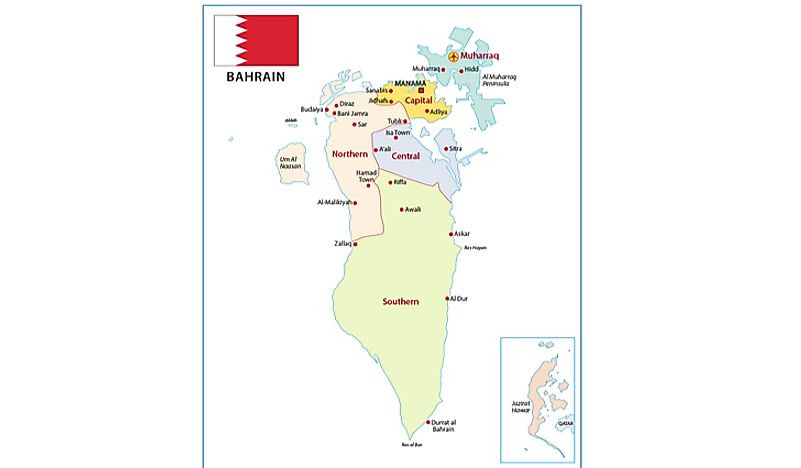
The Kingdom of Bahrain is an island country located on the Persian Gulf in the Middle East. It is an Arabian monarchy bordered by the northeastern coastal region of Saudi Arabia, Iran, and the Qatar Peninsula. Bahrain is a small archipelago comprising of numerous islands covering a total area of approximately 780 kilometers square therefore making it the third smallest nation by size in Asia.
The Geography Of Bahrain
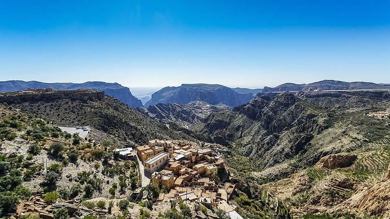
Bahrain is a flat and barren archipelago consisting of the low desert plain that gently rises to a low paramount escarpment whose highest point known as Mountain of Smoke is approximately 134 meters. Initially, Bahrain's total area stood at 665 square kilometers but due land repossession 100 square kilometers was added to the area.
Bahrain has a 161-kilometer coastline, and it does not share any land boundaries with other countries. Bahrain affirms 12 kilometers of territorial sea and a 44-kilometer region of a contiguous zone. Bahrain experiences benign winters and sweltering and humid summers. The Kingdom of Bahrain's natural resources comprises of natural gas, fish, and large quantities of oil. The cultivatable land in Bahrain is made up of only 2.82% of the country's total area.
Since 92% of the country is desert, the main natural threats for the people of Bahrain are cyclical droughts and dust storms. The country faces on the major environmental threat which is desertification due to the mortification of limited cultivatable land, illegal land repossession and deterioration of coastlines, sea vegetation, and coral reefs as a result of oil spillage and emissions from tankers, distribution stations, and oil refineries.
The over usage of the Dammam Aquifer by the country's domestic and agricultural sectors has led to salinization by neighboring saline and brackish water bodies. The Damman Aquifer is the chief aquifer in Bahrain.
Islands Of Bahrain
Bahrain was often characterized as an archipelago of 33 islands however due to prevalent land repossession projects the number of archipelagos and islands increased to 84. Bahrain Island is the largest island in the Kingdom of Bahrain both by size and by population. The Kingdom of Bahrain comprises of 33 natural islands and numerous other artificial islands. In addition to the archipelago of Bahrain, the Kingdom is also home to the Hawar Islands and the Amwaj Islands. The Hawar archipelago was claimed by Qatar and Bahrain, and in 2001 most of the island was transferred to Bahrain by an international court of Justice.
The Biggest Islands Of Bahrain By Size
The following five are the biggest islands in Bahrain by both population and size. The largest islands in Bahrain are Bahrain Island which covers a total area of 590.7 square kilometers with a population of 940,000. The Hawar Islands follow in second with an estimated area of 53.5 square kilometers and a population of 4,000. Muhharaq Island is the third largest island in Bahrain covering an approximated area of 49.3 square kilometers and a population of 200,000. Um An Nasan and Durrat Al Bahrain are the fourth largest islands in Bahrain with an estimated area of 20 square kilometers and a population of 10 and 870 respectively. Sitra is the fifth-largest island by both population and size with an area of 14.6 square kilometers and a population of 81,000.
Islands Of The Kingdom Of Bahrain
| Rank | Island | Size (sq km) |
|---|---|---|
| 1 | Bahrain Island | 590.7 |
| 2 | Hawar | 53.5 |
| 3 | Muharraq Island | 49.3 |
| 4 | Durrat Al Bahrain | 20 |
| 5 | Umm an Nasan | 20 |
| 6 | Sitra | 14.6 |
| 7 | Diyar Al Muharraq | 12 |
| 8 | Northern City | 7 |
| 9 | Amwaj Islands | 4.31 |
| 10 | Nurana Islands | 2.32 |