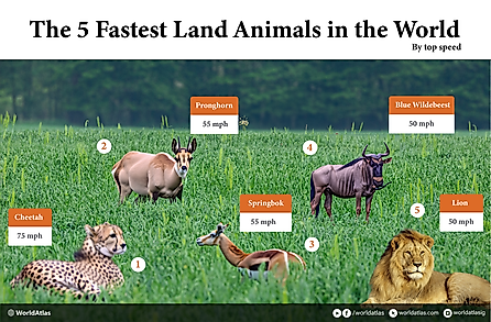
Featured Articles


Geography


Continents & Subcontinents
North America
Caribbean
Central America
South America
Europe
Africa
Middle East
Asia
Oceania
Arctic
Antarctica
World Administrative Divisions
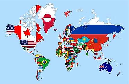
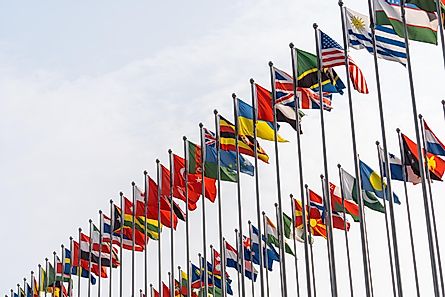
Flags Of The World

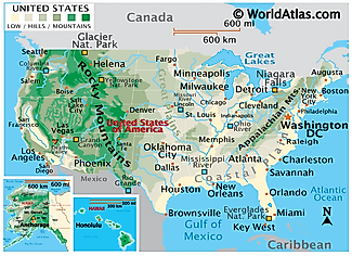
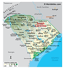
United States
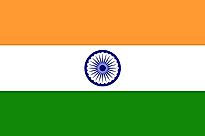
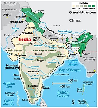
India

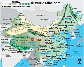
China
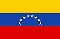
Venezuela

Spain
Panama

Philippines

Macedonia
Colombia
Peru
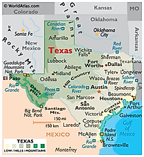
Mexico
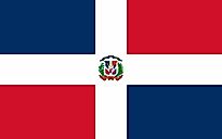
Dominican Republic
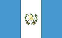
Guatemala
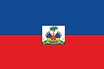
Haiti
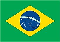
Brazil

Honduras
El Salvador