Big Sur, California
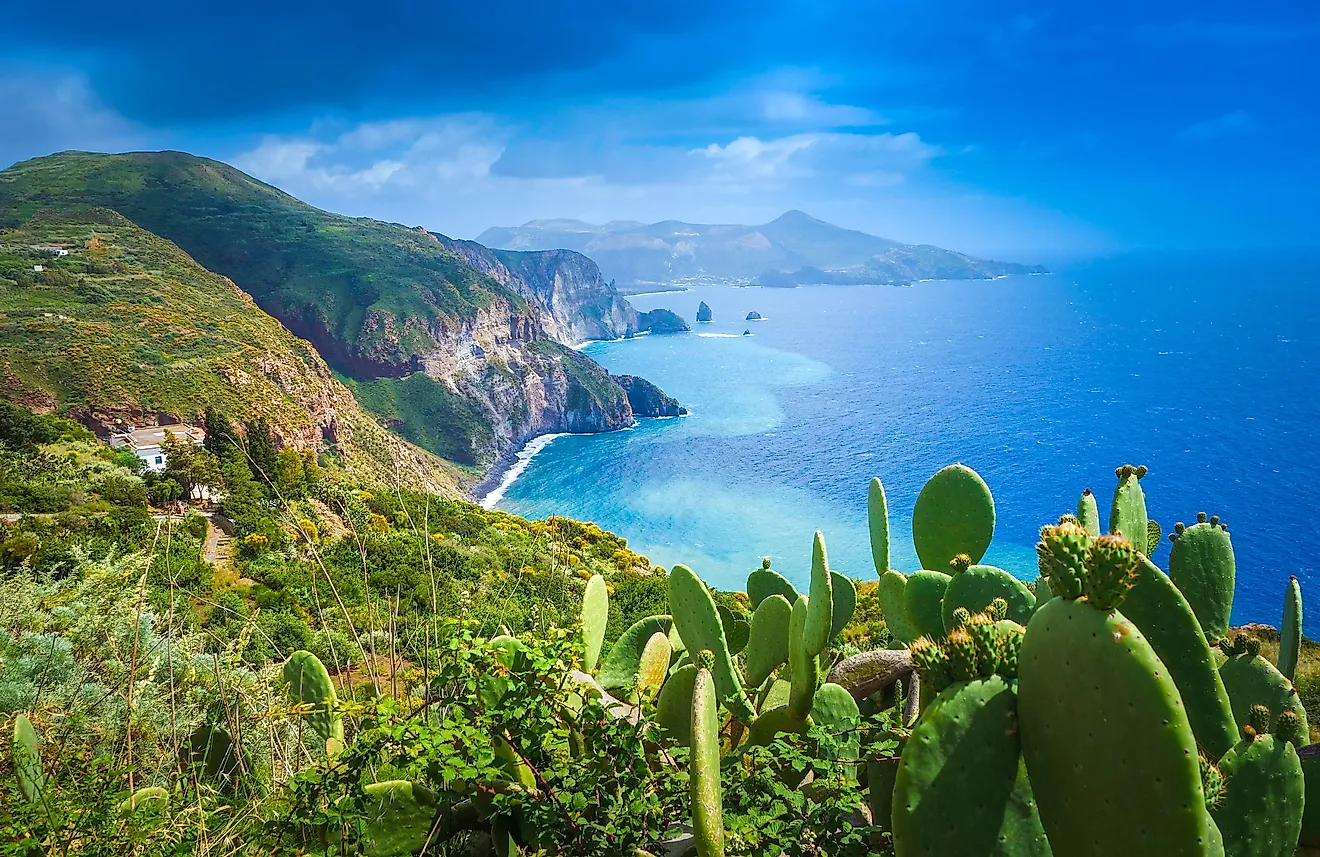
Big Sur is a scenic region situated in the western portion of the US State of California that features a 160km long, rugged stretch of seacoast placed between the Santa Lucia Mountains to the east and the Pacific Ocean to the west. The Big Sur is noted for its picturesque location and has often been referred to as a region that features the United States’ most prolonged and scenic stretch of undeveloped coastline. In addition to its scenic coastline, the Big Sur region is well-known for its redwood forests, hiking trails, world-renowned hotels, restaurants, boutique shops, and parks. All these have made Big Sur a popular destination for visitors from all over the world.
Geography Of Big Sur

The Big Sur region is located along California’s coastal Highway 1, between the Los Angeles and the San Francisco Bay areas. The region’s northern end is at Carmel-by-the-sea, about 210km south of San Francisco, while its southern end is at San Simeon, about 385km north of Los Angeles. Highway 1 runs along the region and is flanked by the majestic Santa Lucia Mountains on one side and the rocky Pacific coast on the other. As per the current census, the Big Sur region is sparsely populated.
Attractions In Big Sur

The Big Sur region is renowned for its pristine scenery and natural features that attract many tourists and naturalists to the area. The section of Highway 1 that runs through Big Sur is considered one of the United States’ most scenic driving routes. The 116km section of the highway that extends from the seaside village of Cambria to the Carmel Highlands was designated as the State’s first scenic highway. The 218m long and 7.3m wide Bixby Creek Bridge is one of California’s most photographed bridges.

There are many state and federal lands and parks in the region, including Julia Pfeiffer Burns State Park, Point Sur State Historic Park, Garrapata State Park, Andrew Molera State Park, etc. All these parks contain short hiking trails. A 24m tall waterfall named McWay Falls is located in the Julia Pfeiffer Burns State Park. The region also features several scenic beaches, including Pfeiffer Beach, Sand Dollar Beach, Point Sur Beach, Swiss Canyon Beach, etc.
Brief History Of Big Sur

The three indigenous Native American tribes – Esselen, Ohlone, and Salinan, were the original inhabitants of the area that is presently the Big Sur region. Archaeological evidence indicates that these tribes occupied the area for thousands of years. In 1542, the Spanish mariners led by Juan Cabrillo were the first Europeans to see the area. In 1769, Gaspar de Portola led an expedition to settle in the area. In 1770, Portola landed in Monterey Bay and, along with Father Junipero Serra, established the town of Monterey, which eventually became the provincial capital of the Spanish colony Alta California. The Spanish referred to the vast, coastal region located south of Monterey as “el pais grande del sur” or “the big country of the south.” In 1821, after gaining independence from Spain, the region and the rest of California became a part of Mexico. After the Mexican-American War in 1848, California was ceded to the United States by Mexico. After the Federal Homestead Act was passed in 1862, several pioneers settled in the region and referred to their new home as “Big Sur.” The Big Sur region changed rapidly after the construction of Highway 1 in 1937, which significantly helped enhance the region’s local economy. In the later years, the region’s relative isolation and scenic beauty started to attract several writers and artists to the area, including Henry Miller, Robinson Jeffers, Hunter S. Thompson, Jack Kerouac, etc.


