Maps of Botswana
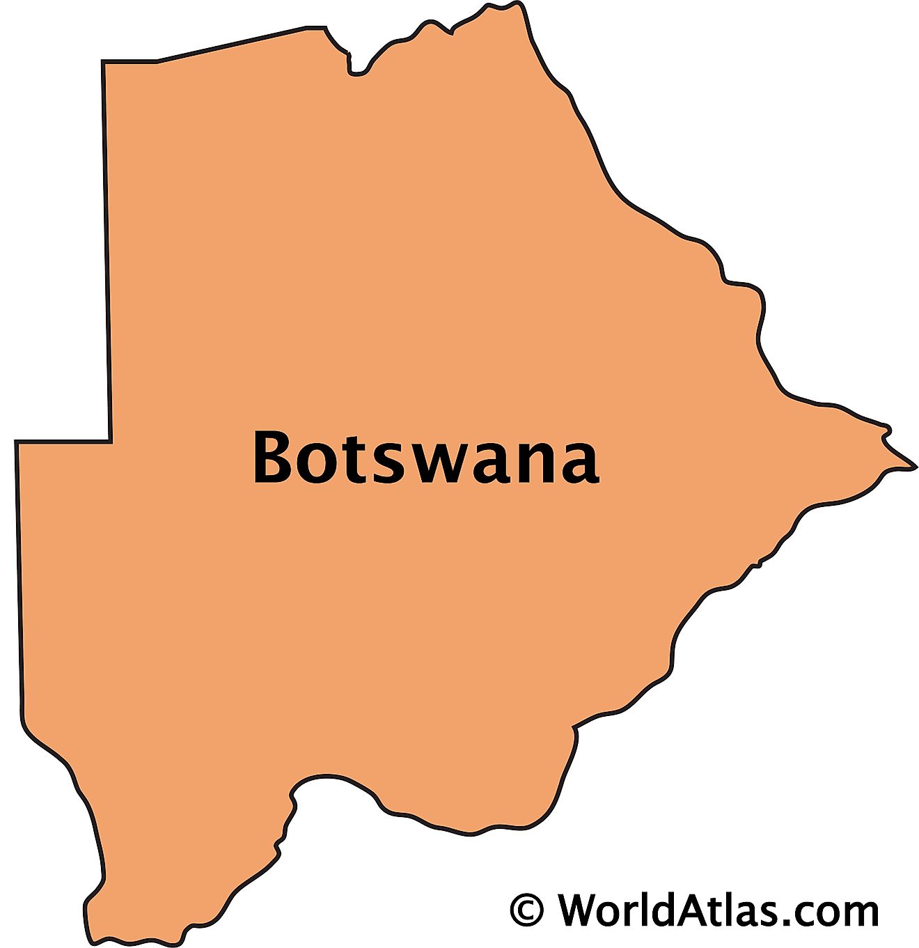
Botswana is a Southern African country covering an area of 581,730 sq. km.
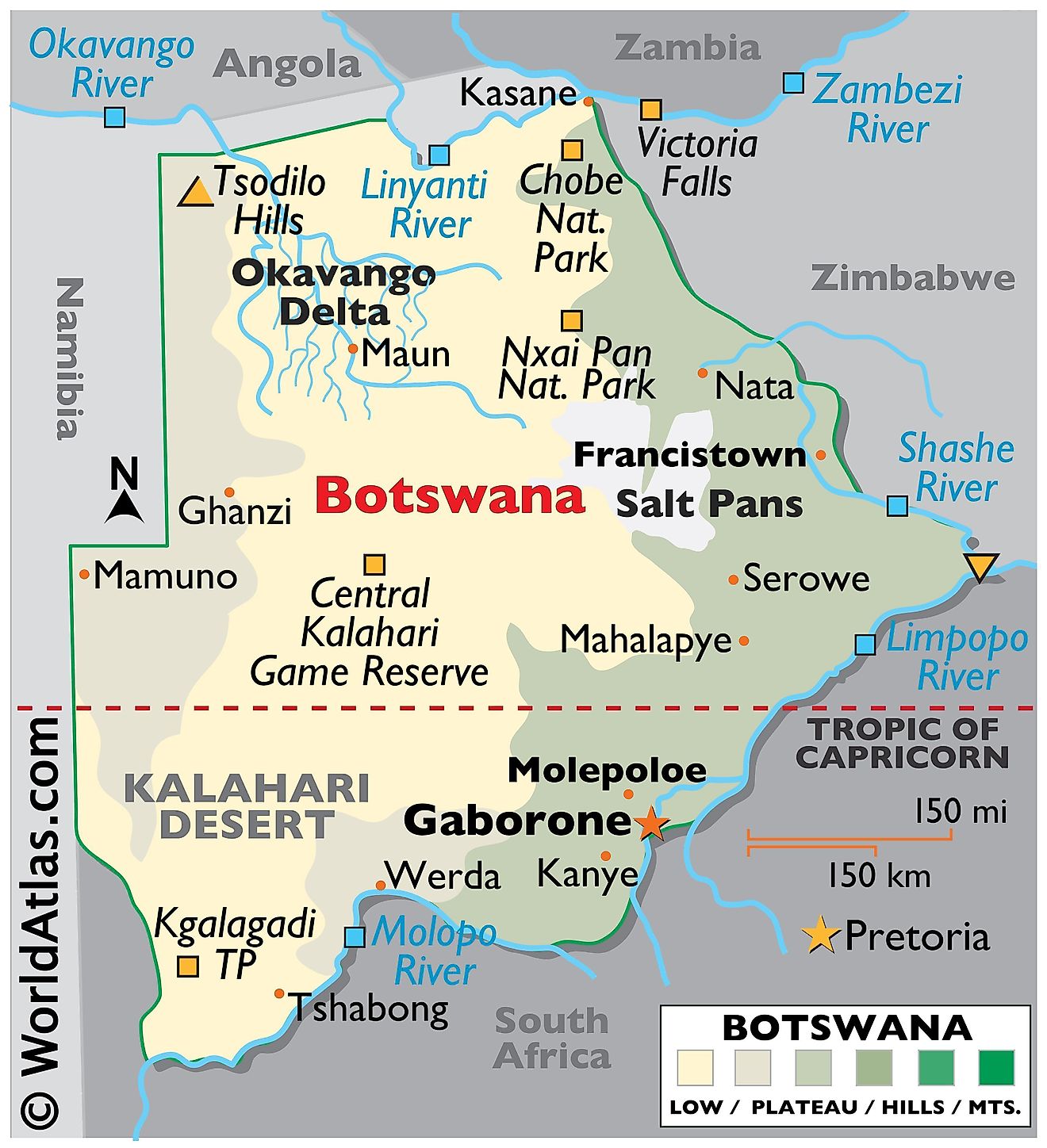
The physical map of Botswana illustrates the country's physical characteristics. The country sits on a flat southern African plateau. The Kalahari Desert blankets the country to the center and southwest while in the north, the Okavango Delta provides a thriving oasis, with numerous salt lakes. The Makgadikgadi Pan is located in the middle of the dry savanna and additional landforms include savanna grasslands in the east and a dry scrub along the western border with Namibia.
Significant rivers as marked on the map include the Limpopo, Okavango, and Shashe with the Molopo River creating a geographical border between South Africa and Botswana. Botswana's highest point is Tsodilo Hills at 1,489 m; the lowest point is a junction of the Limpopo and Shashe Rivers at 513 m.
Districts of Botswana Map
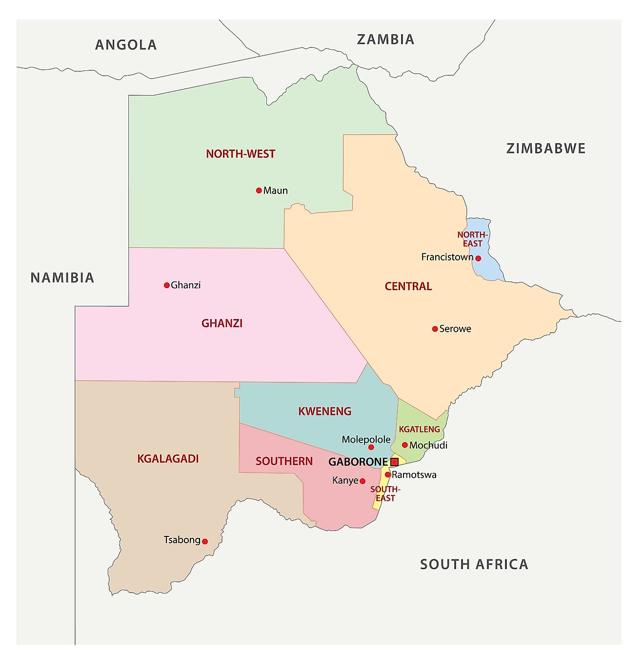
Botswana is divided into 17 administrative divisions called districts. It includes 10 rural and 7 urban districts. These districts are further subdivided into sub-districts.
In alphabetical order, the districts are as follows: Central, Chobe, Francistown, Gaborone, Ghanzi, Jwaneng, Kgalagadi, Kgatleng, Kweneng, Lobatse, North East, North West, Orapa, Selebi-Phikwe, South East, Southern, Sowa Town
With an area of 142,076 sq. km, Central District is the largest by area and also the most populous one.
The capital and largest city of Gaborone is located in the district of the same name.
Where is Botswana?
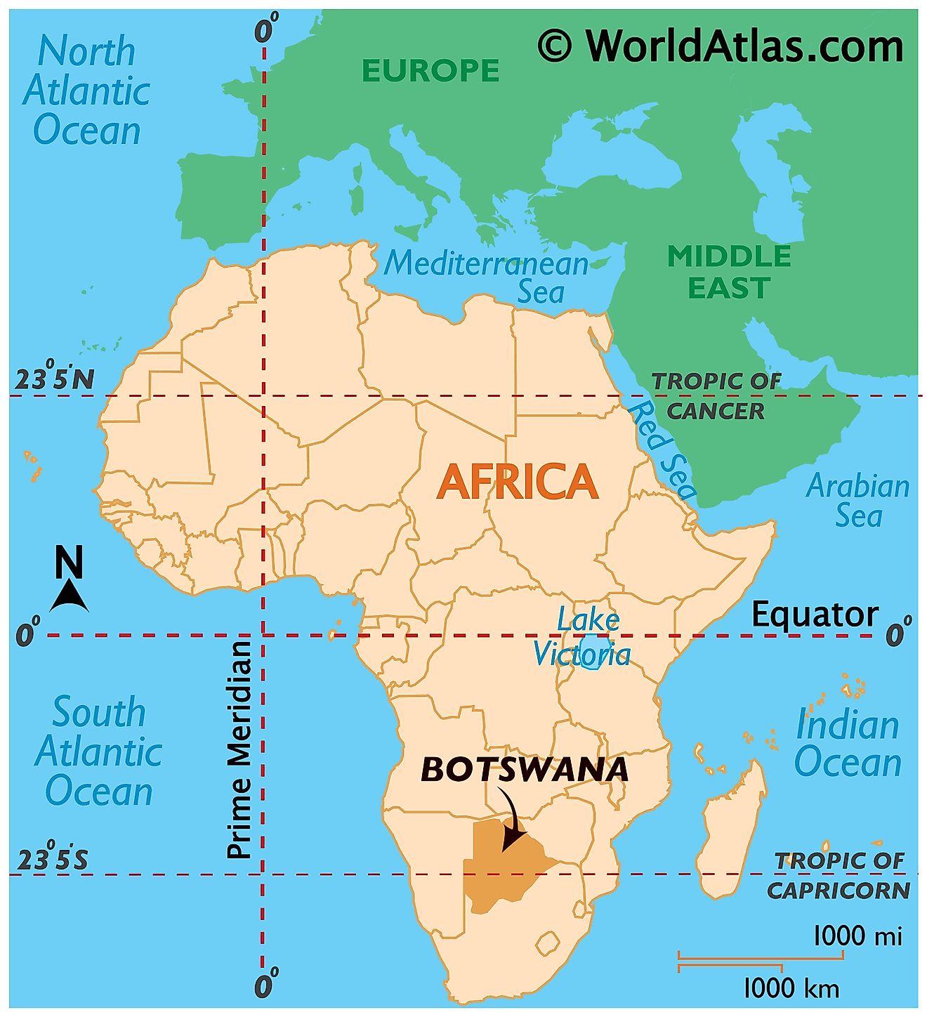
The Southern African country of Botswana is located in the Southern and Eastern Hemispheres of the world. It is a landlocked country bordered by four countries - Namibia to the north and west, South Africa to the south and southeast, Zimbabwe to the northeast, and it also borders Zambia to the north for only a few hundred meters.
Botswana Bordering Countries: Namibia, Zambia, Zimbabwe, South Africa.
Regional Maps: Map of Africa
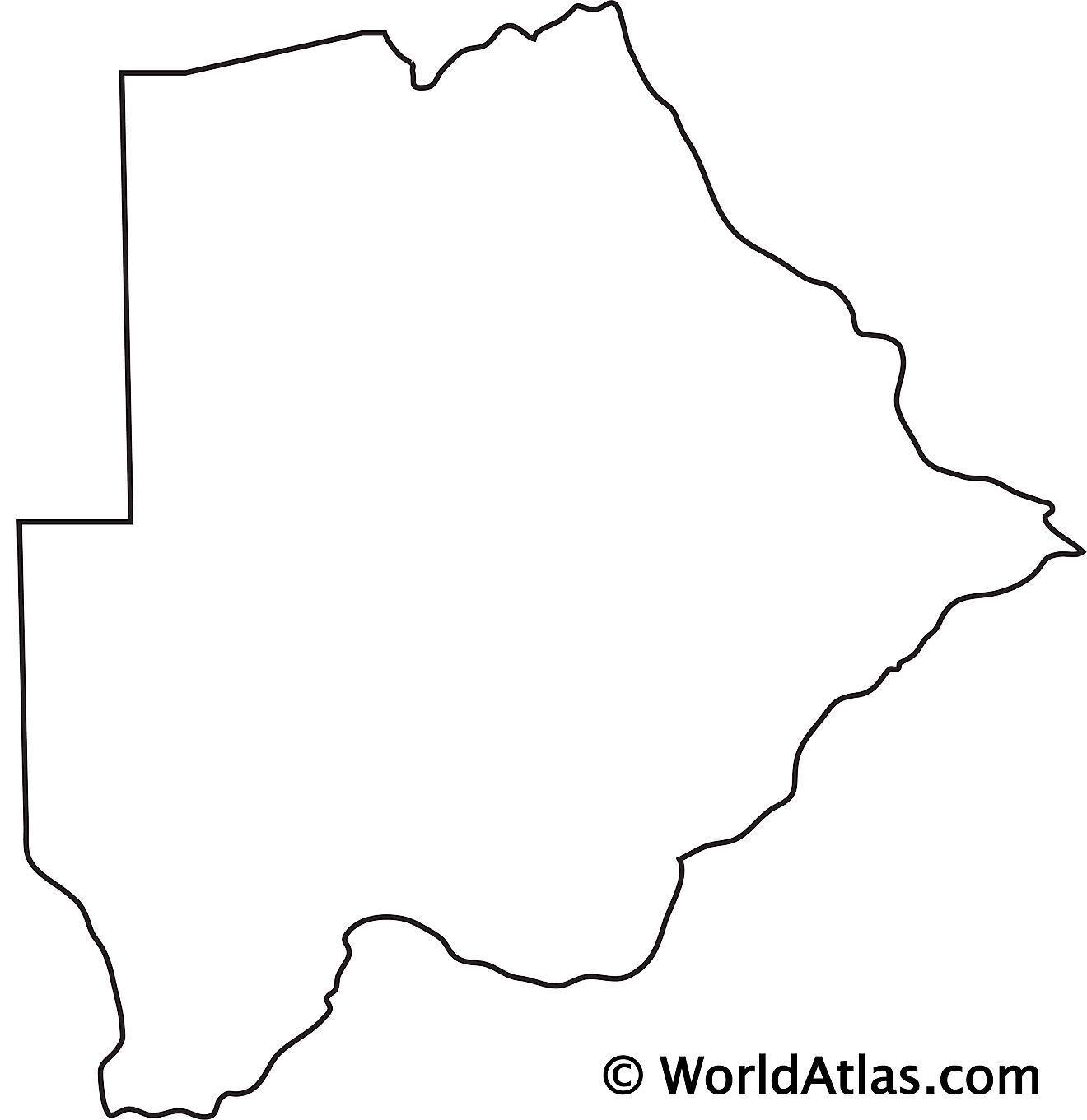
Outline Map of Botswana
Key Facts
| Legal Name | Republic of Botswana |
|---|---|
| Flag |
|
| Capital City | Gaborone |
| 24 38 S, 25 54 E | |
| Total Area | 581,730.00 km2 |
| Land Area | 566,730.00 km2 |
| Water Area | 15,000.00 km2 |
| Population | 2,303,697 |
| Currency | Pulas (BWP) |
| GDP | $18.34 Billion |
| GDP Per Capita | $7,961.34 |
This page was last updated on April 14, 2023
