Maps of Brunei Darussalam
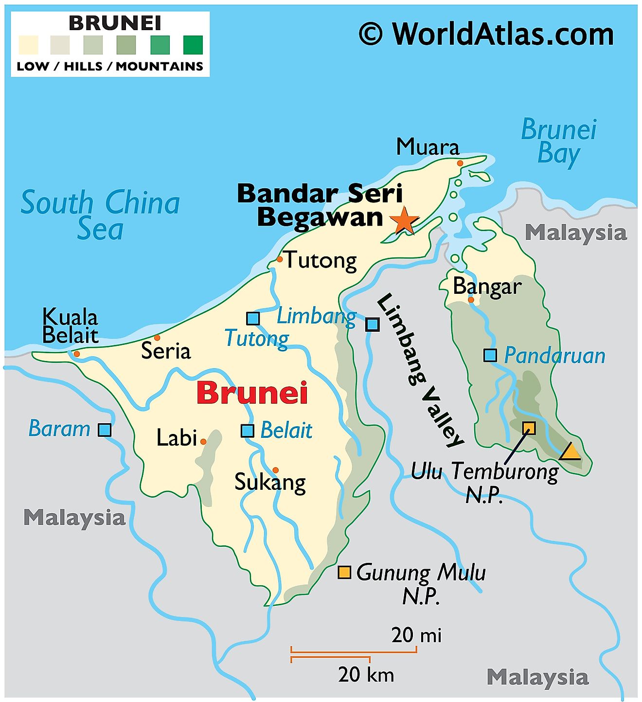
Brunei is an incredibly small country that covers an area of 5,765 sq. km (2,226 sq mi) on the island of Borneo. It has a 161 km (100 mi) coastline along the South China Sea. It can be seen on the map above that Brunei is divided into two non-contiguous territories that are separated by the Malaysian State of Sarawak. Brunei shares two separate borders with Malaysia.
The flat coastal plain of the country gradually slopes upwards to mountains in the east and undulating lowlands in the west. As observed on the physical map of Brunei above, the country is mostly low-lying with seldom in the way of large mountains or hilly terrain.
Bukit Pagon is the highest point in the country at 6,069 ft. (1,850 m) along the border with Malaysia in the eastern mountainous region. It has been marked on the map by a yellow upright triangle. The lowest point in Brunei is the South China Sea at 0 m.
The South China Sea borders the coastline of Brunei. Many of the large towns and cities in Brunei can be found on the coast along with the capital city of Bandar Seri Begawan. Numerous rivers drain the land, including the Belait, Pandaruan, and Tutong. Subsequently, the coastal areas along the South China Sea are a wide swampy plain. These rivers
Districts of Brunei Map
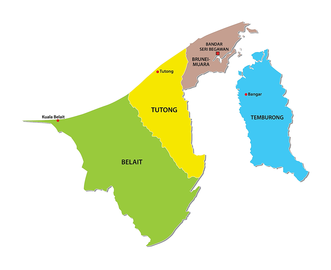
Brunei Darussalam (officially, Nation of Brunei) is divided into 4 districts. In alphabetical order, these districts are: Belait, Brunei dan Muara, Temburong and Tutong. These districts are further divided into 38 sub-districts and several smaller subdivisions of villages (kampong) and municipalities (bandaran).
Located in the north eastern part of the country, on the Northern banks of Brunei River, is Bander Seri Begawan – the capital and largest city of Brunei. About two-thirds of the country’s population is found in the capital city
Where is Brunei Darussalam?
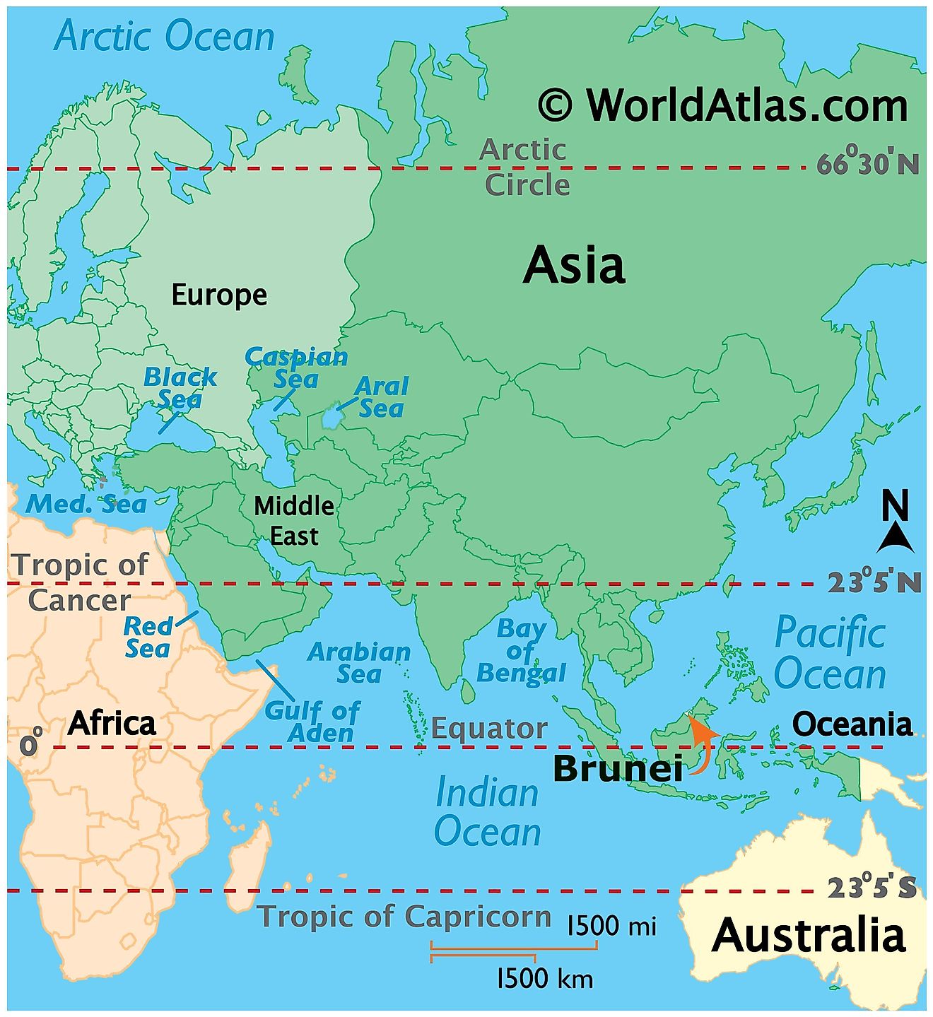
The country of Brunei is located along the northern coast of the Borneo Island in Southeast Asia. It is situated both in the Northern and Eastern hemispheres of the Earth. Brunei is bordered by the South China Sea in the north and on all other sides by Malaysia. Brunei is divided into two non-contiguous parts by a portion of the Malaysian State of Sarawak. Brunei shares its maritime borders with China and Malaysia.
Brunei Darussalam Bordering Countries: Malaysia.
Regional Maps: Map of Asia
Outline Map of Brunei Darussalam
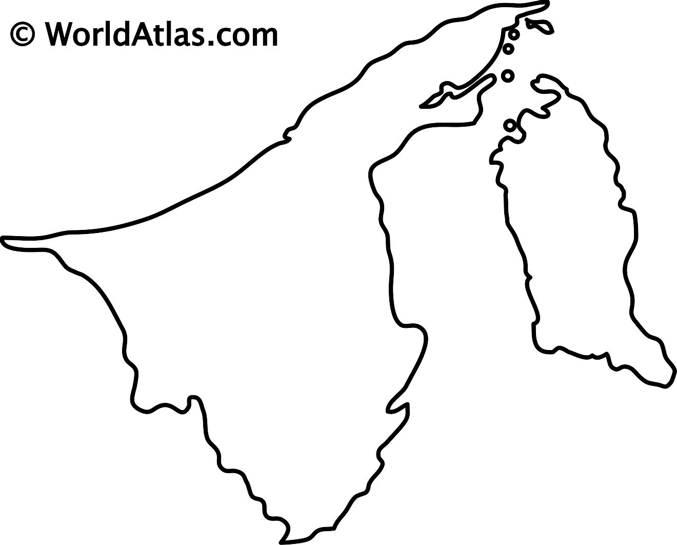
The above map represents Brunei in Southeast Asia. The Malaysian State of Sarawak divides the country into two non-contiguous parts that are located on the northern coast of the island of Borneo. The map can be downloaded, printed, and then used for coloring or map-pointing activities.
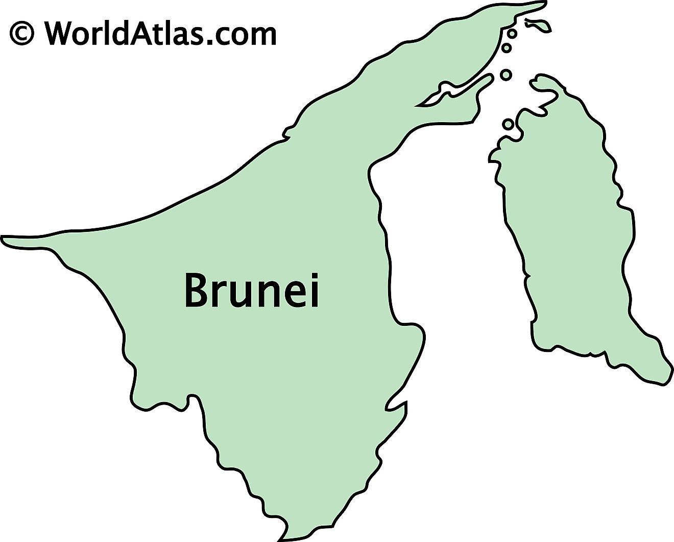
The above map shows the country of Brunei located in the island of Borneo. The two parts represent the two non-contiguous territories of the country separated by the Malaysian State of Sarawak.
Key Facts
| Legal Name | Brunei Darussalam |
|---|---|
| Flag |
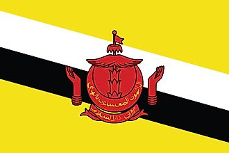
|
| Capital City | Bandar Seri Begawan |
| 4 53 N, 114 56 E | |
| Total Area | 5,765.00 km2 |
| Land Area | 5,265.00 km2 |
| Water Area | 500.00 km2 |
| Population | 433,285 |
| Currency | Bruneian dollars (BND) |
| GDP | $13.47 Billion |
| GDP Per Capita | $31,086.75 |
This page was last updated on December 28, 2023


