Maps of Qatar
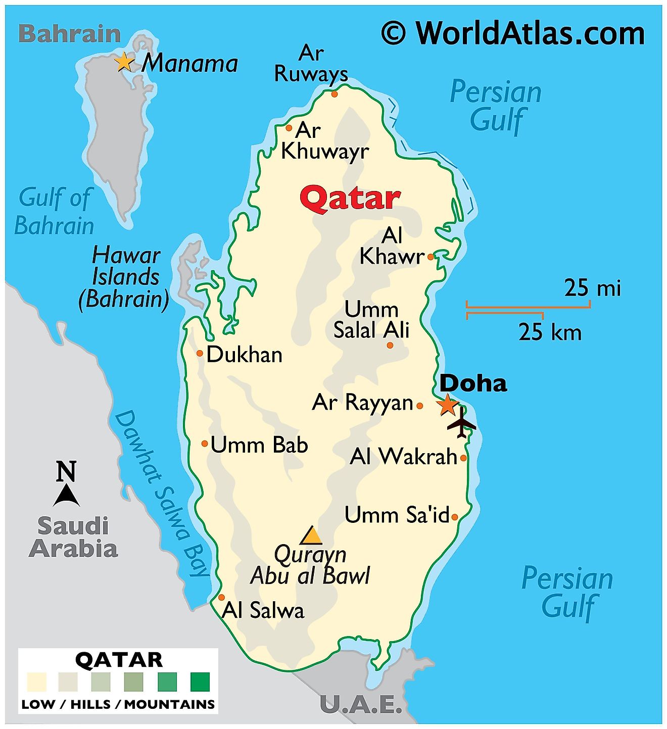
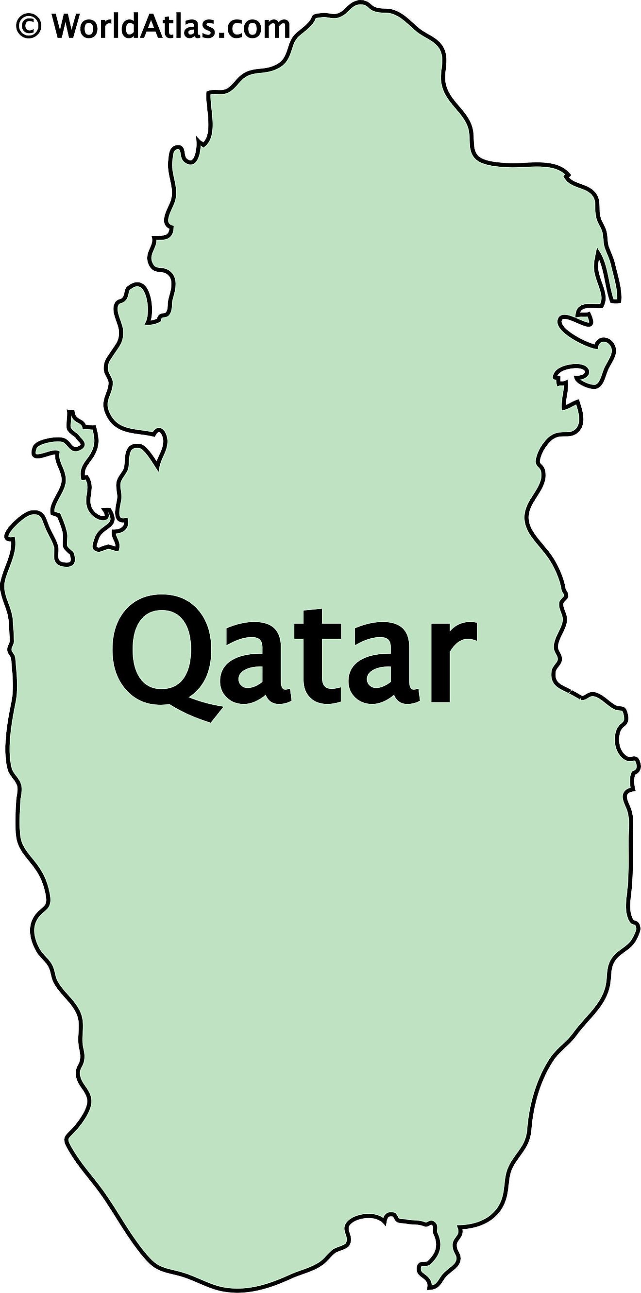
Qatar, a small peninsular nation, lies on the northeastern coast of the Arabian Peninsula, sharing a sole land border with Saudi Arabia to the south and surrounded by the Persian Gulf on all other sides. The country spans an area of approximately 11,571 km2 (4,468 mi2).
The Deserts: The landscape of Qatar is primarily flat and barren desert. Sand dunes dominate the southern part of the country, especially in the area known as the Khor al Adaid, or the "Inland Sea". These dunes can reach impressive heights and shift with the winds, creating an ever-changing terrain. To the north and west, the terrain turns slightly rockier and features low-rising limestone formations. The highest point in the country, Qurain Abu al-Bawl, is located here but it is only reaches 103 m (338 ft). It has been marked on the map by a yellow upright triangle.
The Salt Flats: One of the most distinct geographical features of Qatar is its salt flats or sabkhas. They form as a result of the country's high evaporation rates, which leave behind salt deposits. These salt flats are especially prevalent in the areas close to the coast, where tidal actions regularly flood the low-lying regions and then rapidly evaporate, leaving the salt deposits behind.
Man-made Greenery: Despite its desert landscape, Qatar does have some green areas. These include man-made green spaces in urban centers like Doha, as well as natural vegetation found in the northern regions where rainfall is slightly higher. Here, wild plants such as the Sidra tree, which is a symbol of Qatar, can thrive.
Bodies of Water, Rivers, and Islands: Besides the Persian Gulf, Qatar has wadis, which are valleys that remain dry except during the rainy season when they can briefly turn into rivers. Wadis are common in the Middle East and North Africa, indicating where rainwater flows. While Qatar lacks natural lakes, it boasts the man-made Aspire Lake in Doha's Aspire Park. Due to freshwater scarcity, Qatar has invested in desalination plants and reservoirs. To the northeast of the country lies the island of Halul, an essential site for oil storage and shipping. Other smaller islands and islets, like Shrao's Island and Al Safliya Island, run adjacent to the Qatari coast.
Municipalities of Qatar Map
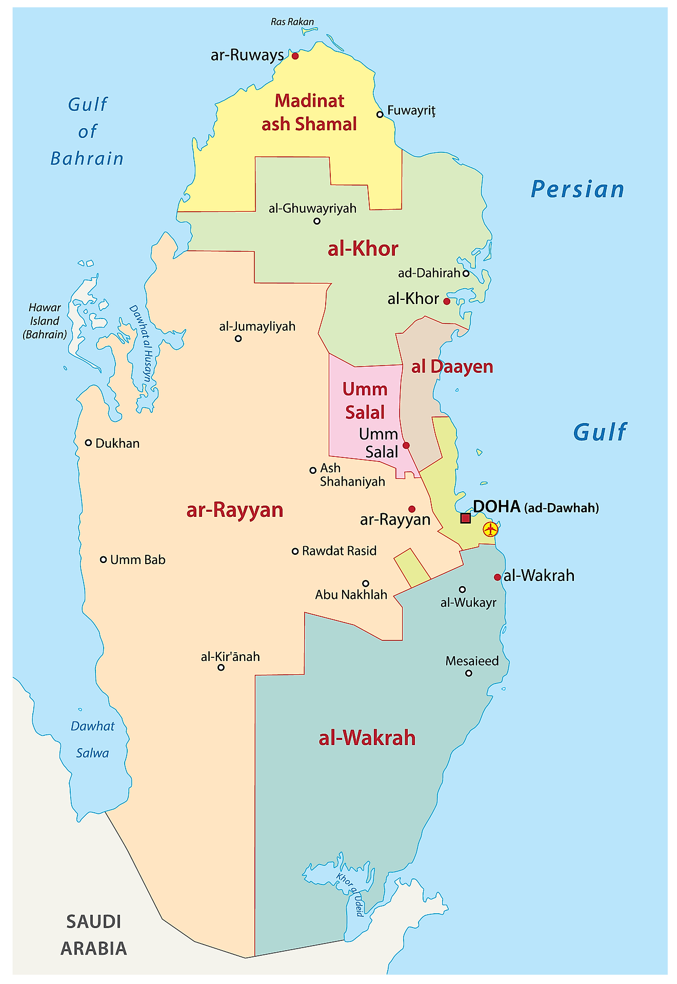
Qatar (officially, the state of Qatar) is divided into 8 municipalities. In alphabetical order, these municipalities are: Al-Daayen, Al-Khawr, Al-Rayyan, Al-Shahaniya, Al-Shamal, Al-Wakrah, Doha and Umm Salal Muhammad. These municipalities are further subdivided into 98 zones and smaller subdivisions.
With an area of 3,309.0 sq. km, Al-Shahaniya is the largest municipality by area while Al-Daayen is the most populous one.
Doha is the capital and largest city of Qatar. Doha is located in the eastern part of the country, on the coasts of the Persian Gulf. It is the most populous city and also the country’s political and economic center.
Where is Qatar?
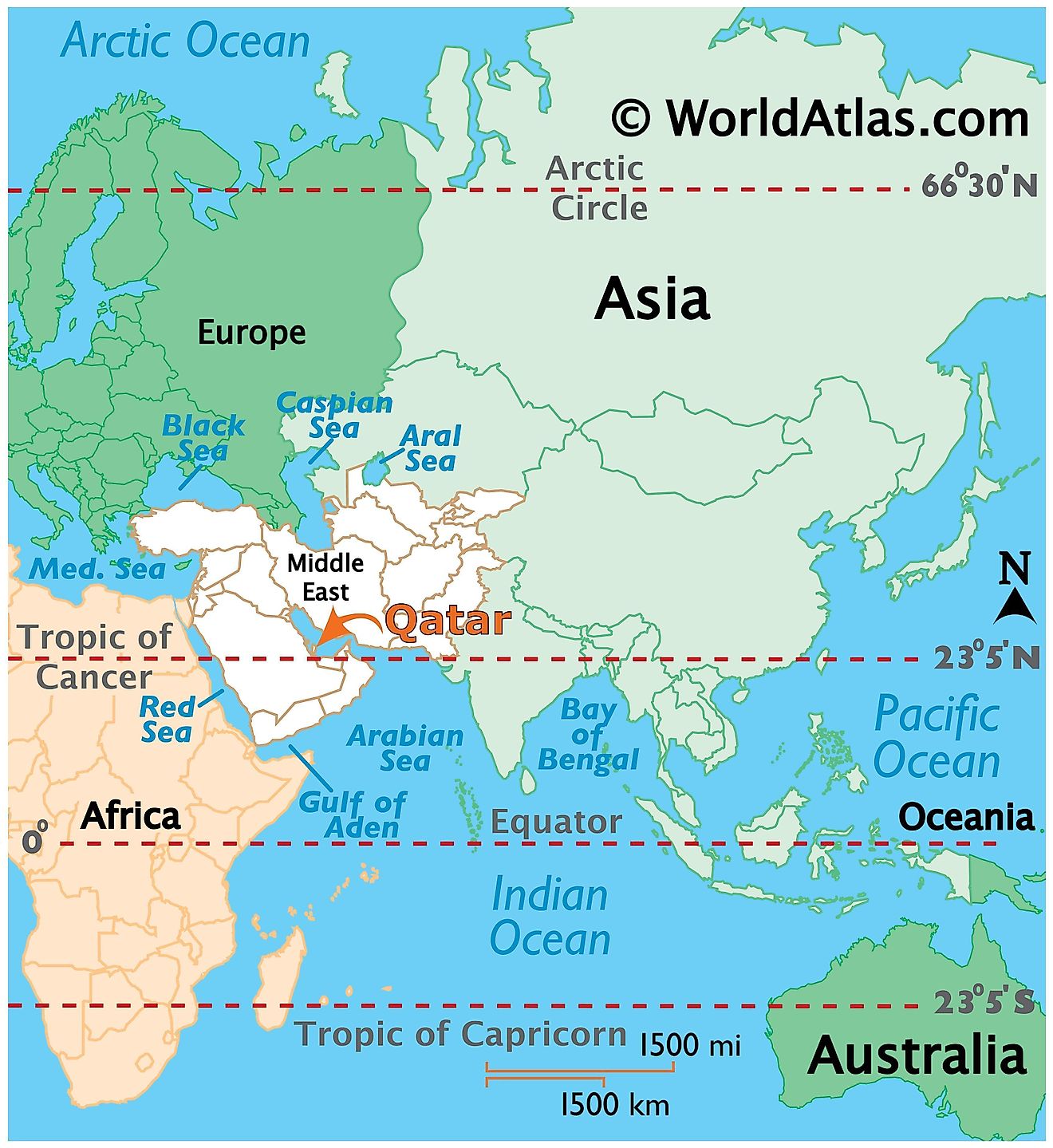
Qatar is situated on the Qatari Peninsula that extends from the Arabian Peninsula into the Persian Gulf. It is a Western Asian country that is one of the seven nations that make up the Arabian Peninsula. It is located in the Middle East, in the North eastern coast of the Arabian Peninsula, in the Northern and Eastern hemispheres of the Earth. Qatar is bordered by 2 nations: United Arab Emirates in the southeast and Saudi Arabia in the southwest. While, the Persian Gulf surrounds Qatar in the north and east; the Dawhat Salway Bay surrounds the country along the western coast. The Gulf of Bahrain separates Qatar from the Kingdom of Bahrain.
Qatar Bordering Countries: Saudi Arabia.
Regional Maps: Map of Asia
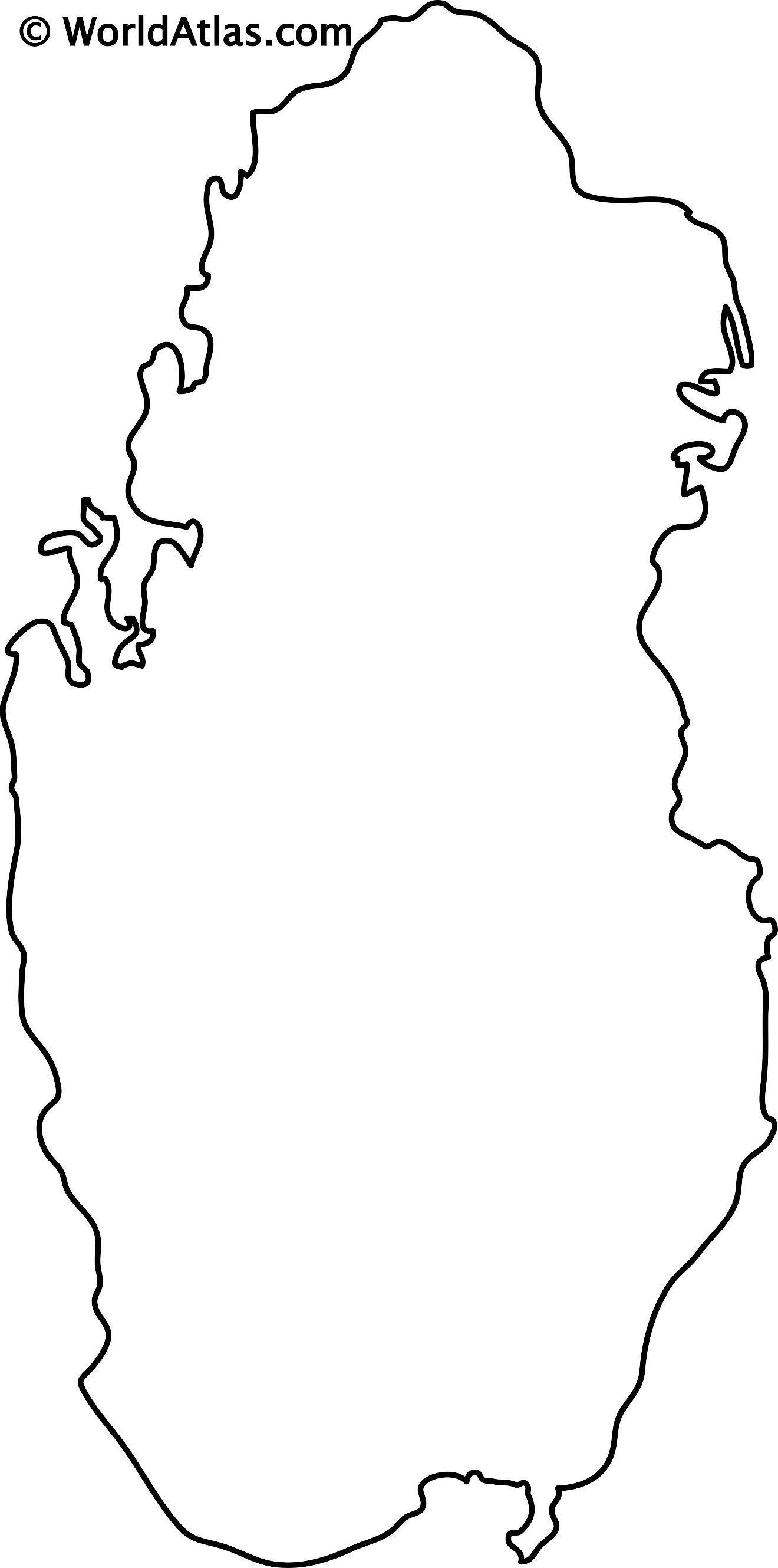
Outline Map of Qatar
Key Facts
| Legal Name | State of Qatar |
|---|---|
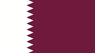
| Flag |
|
| Capital City | Doha |
| 25 17 N, 51 32 E | |
| Total Area | 11,586.00 km2 |
| Land Area | 11,586.00 km2 |
| Water Area | N/A |
| Population | 2,832,067 |
| Major Cities |
|
| Currency | Qatari rials (QAR) |
| GDP | $183.47 Billion |
| GDP Per Capita | $64,781.73 |
This page was last updated on August 15, 2023
