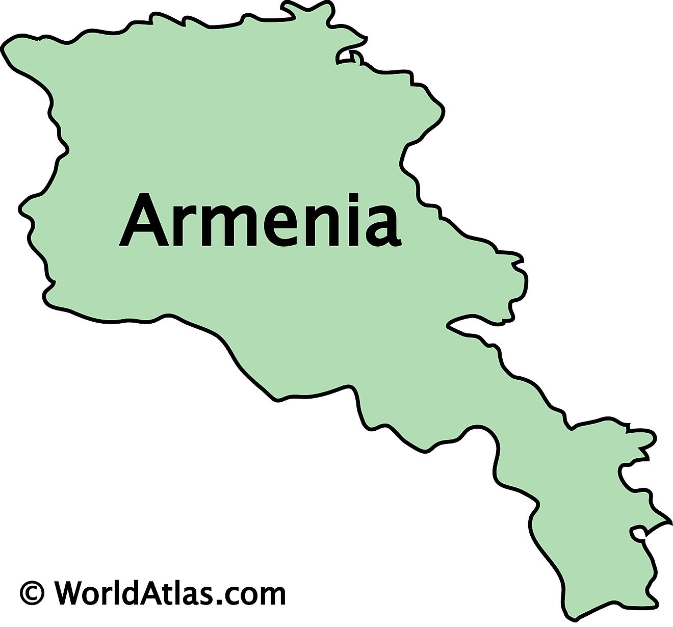
Maps of Armenia
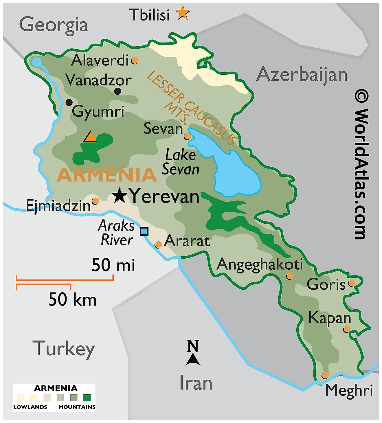
Armenia covers an area of 29,743 sq. km (11,484 sq mi) in Eurasia's South Caucasus region. It is a landlocked country with no access to the world's oceans. Armenia is one of the most mountainous nations on Earth and has an average elevation of 5,900 feet (1,800 meters) above sea level. Armenia is surrounded by the nations of Iran, Turkey, Azerbaijan, and Georgia.
The Lesser (or Little) Caucasus Mountains dominate much of Armenia's landscape. As observed on the physical map of Armenia above, the topography of the country is very rugged and mountainous. Nearly the entire nation is covered by mountain ranges and deep valleys. The highest point is Mt. Aragats at 13,418 ft. (4,090m). A yellow triangle marks the highest point on the map.
The Araks and Debed Rivers are the two most important waterways in the nation. The Araks act as a natural border between Iran and Turkey to the south while also granting the nation a small sliver of floodplain that exists along its banks. This part of the nation is the most densely populated and is home to Armenia's capital city Yerevan. Rivers flow fast down through the mountains, at least 3% form the valleys of the Araks and Debed rivers.
Lake Sevan is the largest lake and it sits 6,000 ft, (2,000 m) above sea level and is the largest body of water in Armenia. The temperate here can get quite intense one way or another. The winters are very cold and the summers are very hot. That being said the spring and falls seasons are often mild and temperate.
Provinces of Armenia Map
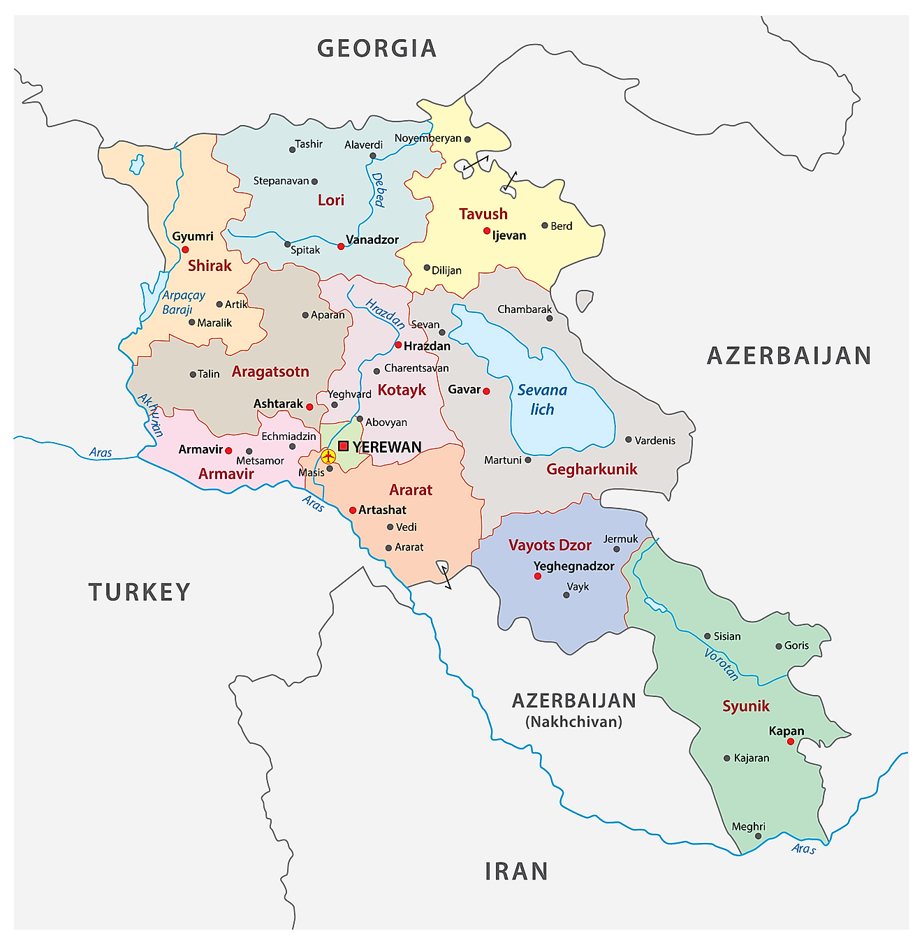
Armenia (officially, the Republic of Armenia) is divided into 11 provinces (marzer, sing. marz). In alphabetical order, these provinces are: Aragatsotn, Ararat, Armavir, Geghark’unik’, Kotayk’, Lorri, Shirak, Syunik’, Tavush, Vayots’Dzor and Yerevan. The Yerevan province has been granted special administrative status. The provinces are further subdivided into municipal communities.
Located at the center –west part of the country, along the Hrazdan River is, Yerevan – the capital and largest city of Armenia. It is also the political, cultural and economic center of Armenia.
Where is Armenia?
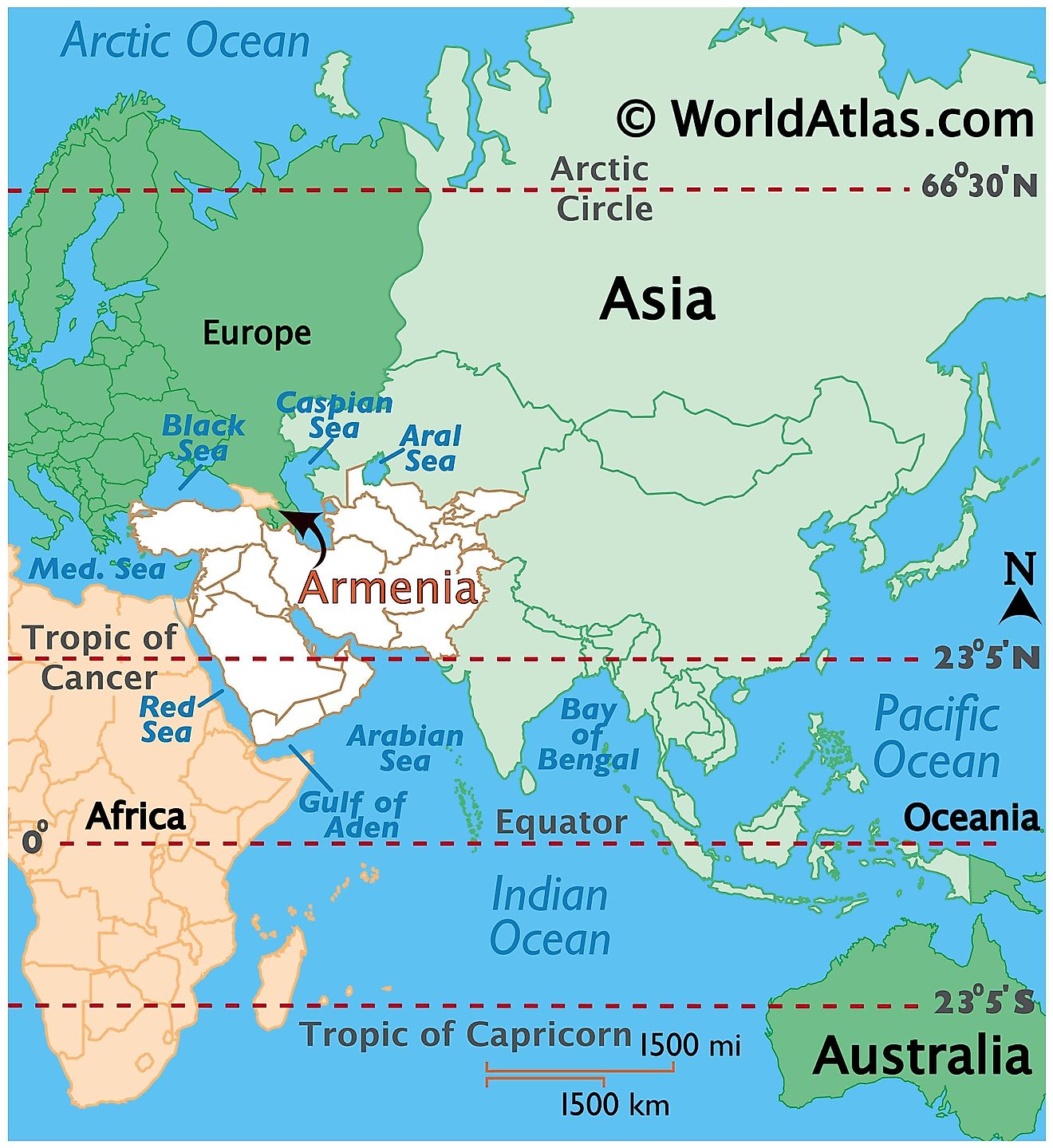
Armenia is a landlocked country, located in the south of Caucasus mountain range (south eastern region of Europe or Western Asia) and facing the north western part of Asia. Armenia is situated in the Northern and Eastern hemispheres of the Earth. It is bounded by Georgia in the north, Azerbaijan in the east, Iran in the southeast and Turkey in the west.
Note: Armenia views itself as a part of Europe; geopolitically, it can be classified as falling within Europe, the Middle East or both.
Armenia Bordering Countries: Georgia, Turkey, Iran, Azerbaijan.
Regional Maps: Map of Asia
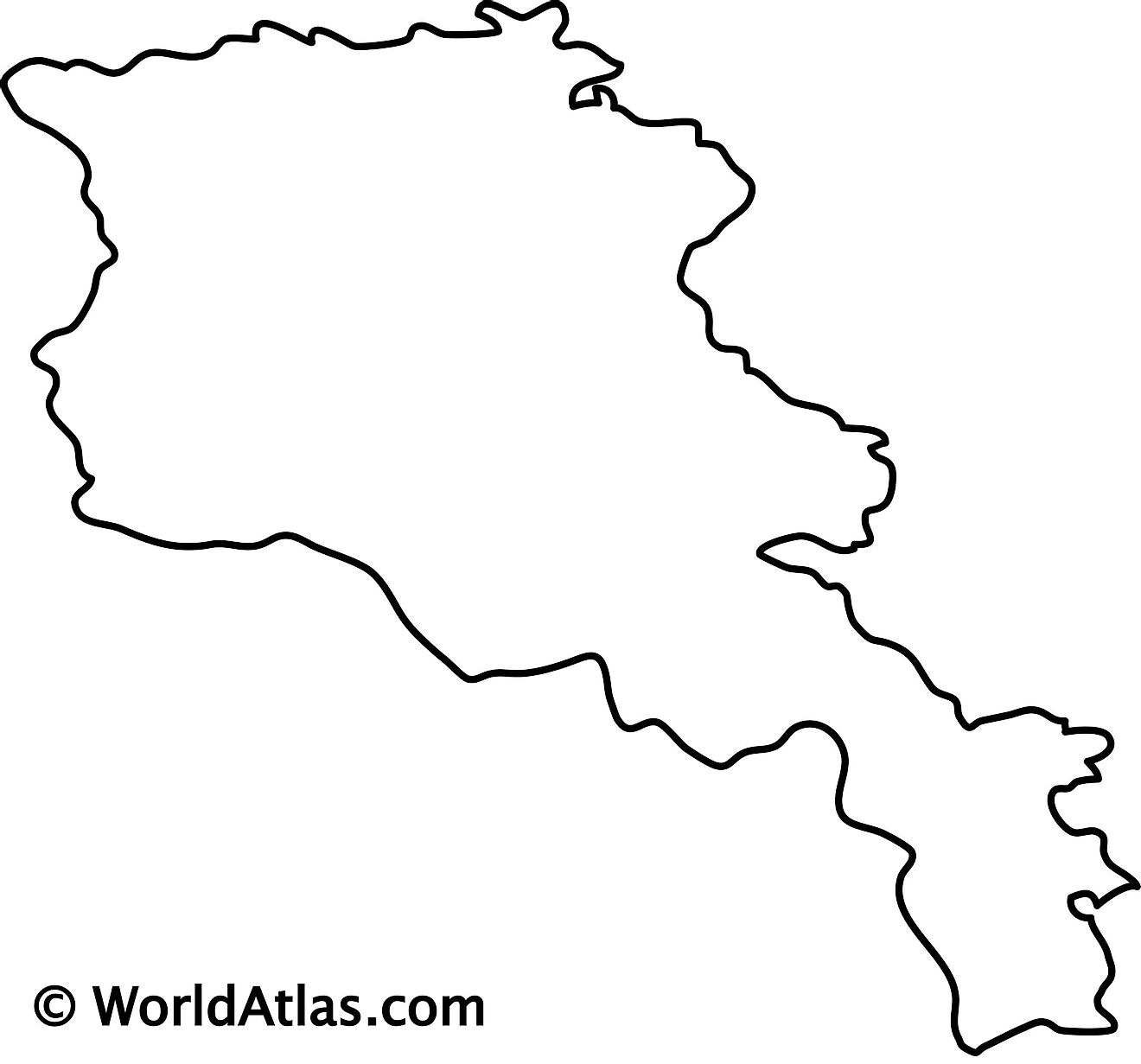
Outline Map of Armenia
Key Facts
| Legal Name | Republic of Armenia |
|---|---|
| Flag |
|
| Capital City | Yerevan |
| 40 10 N, 44 30 E | |
| Total Area | 29,743.00 km2 |
| Land Area | 28,203.00 km2 |
| Water Area | 1,540.00 km2 |
| Population | 2,957,731 |
| Largest City |
Yerevan (1,094,813) |
| Currency | Drams (AMD) |
| GDP | $13.67 Billion |
| GDP Per Capita | $4,622.73 |
This page was last updated on December 27, 2023
