Maps of Finland
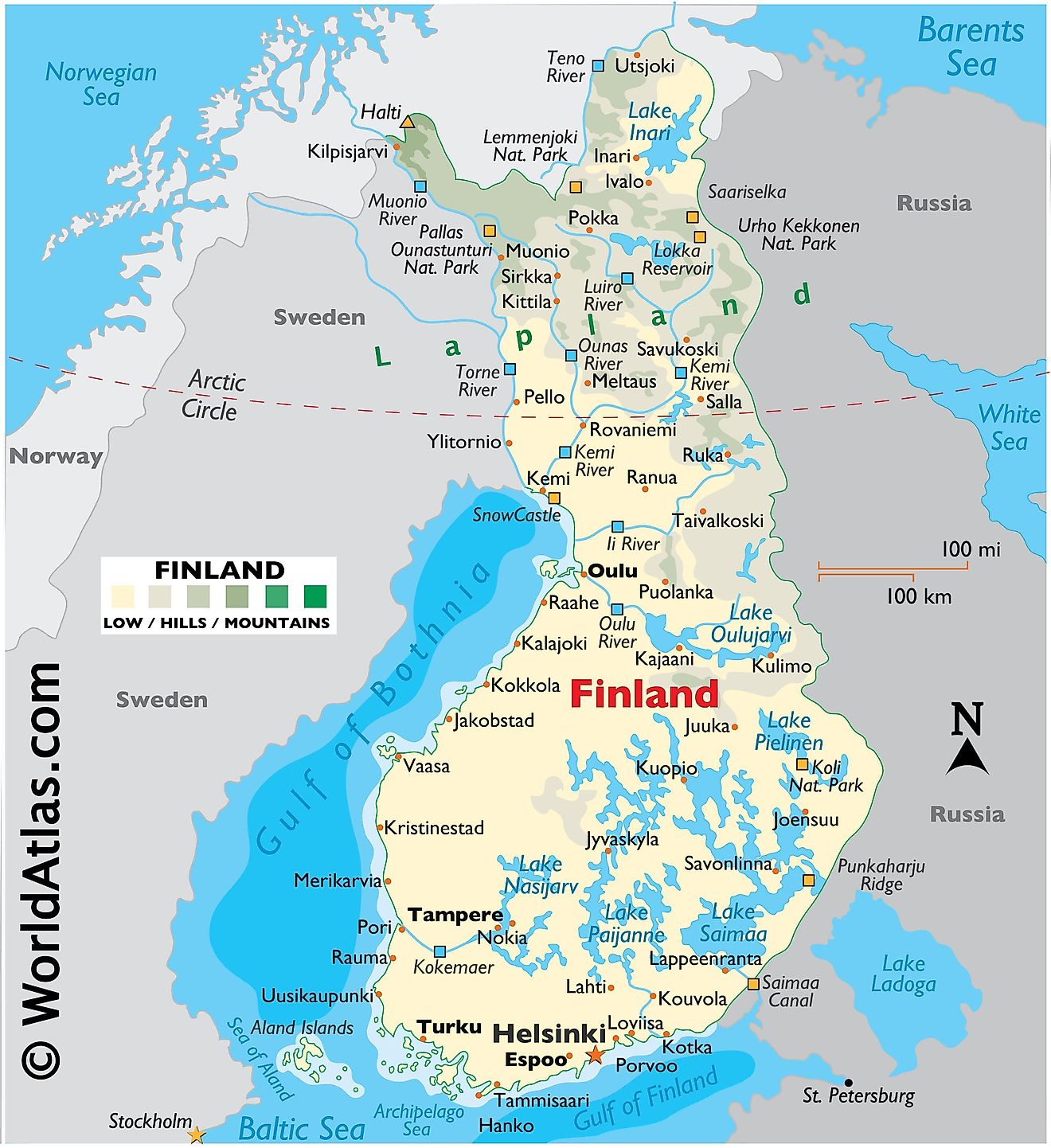
Finland, a North European Nordic country, covers an area of 338,455 km2(130,678 sq mi).
During the last Ice Age, Finland was covered by a thick layer of ice. When that ice sheet retreated (or melted) about 10,000 years ago, it gouged the surface of the land and left in its wake innumerable islands, rivers and streams, as well as an estimated 188,000 lakes. Note that near 60,000 of those lakes measure more than 200 meters wide.
As observed on the physical map of Finland, it is mostly flat land, with more than 70% of it covered by thick forest. In the southern areas, water seems a more common sight than land as countless clear water lakes are everywhere.
To the north of the Arctic Circle, the terrain rises into the hills and low mountains of Lapland. The country's highest point, Haltiatunturi, at 1,328 meters, stands on the edge of its border with Norway. A yellow upright triangle marks the position of this point on the map.
The Aland Islands (archipelago) sits in the middle of the Gulf of Bothnia between Finland and Sweden. It contains almost three hundred islands (80 inhabited), and over 6,000 small (tiny) rocky islands.
Directly east, in the Archipelago Sea and merging with the Aland Islands and Finland's southwestern coastline stand tens of thousands of islands, mostly small, with some of the larger ones inhabited.
As observed on the map above, Finland is riddled with lakes. On this land of lakes, the largest ones include Nasijarv, Oulujarvi, Paijanne, Pielinen and Finland's largest, Lake Saimaa. With a few exceptions, the balance of Finland's lakes is on the small side.
Finland's most significant rivers include the Kemi, Luiro, Muonio, Oulu, Teno and Torne.
Numerous canals flow lake to lake in the south. The largest, the Saimaa Canal, connects Lake Saimaa with the Gulf of Finland.
Regions of Finland Map
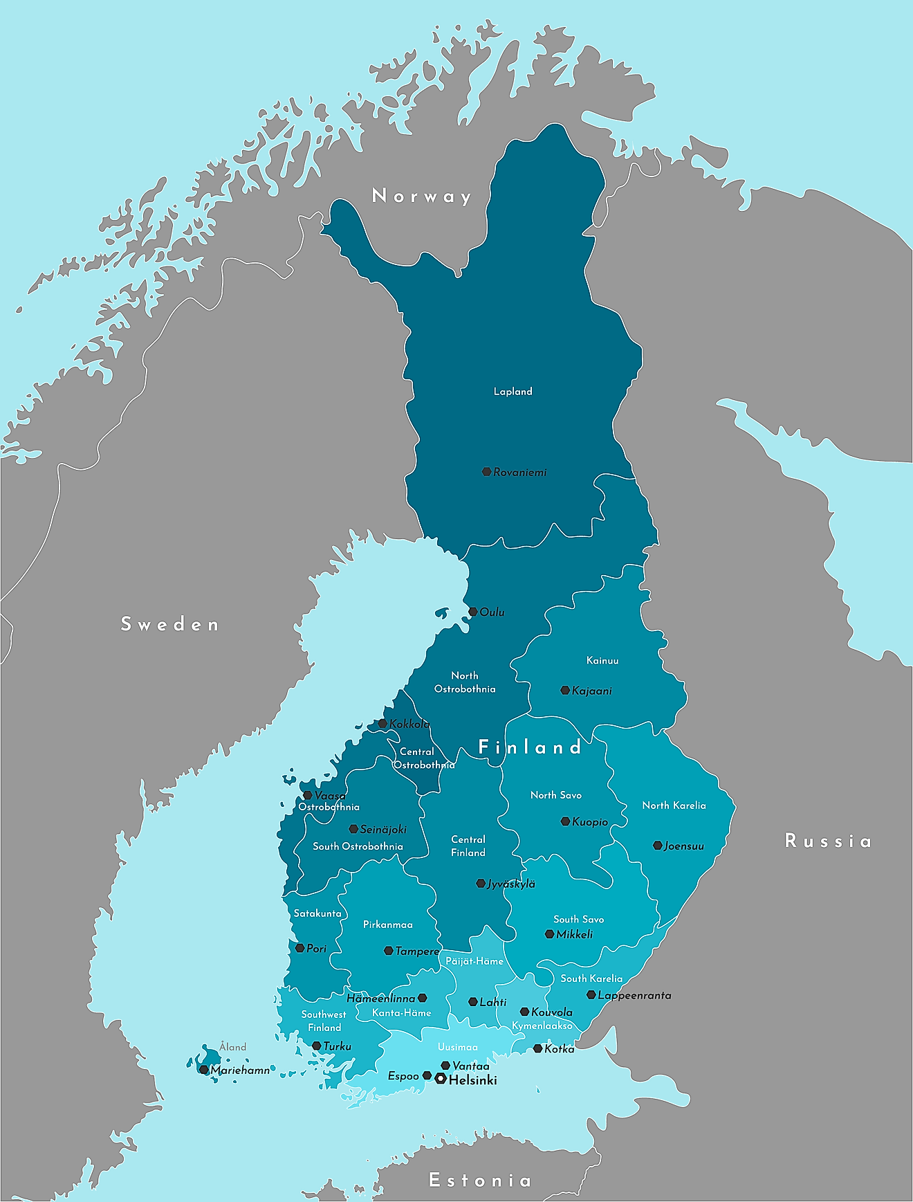
Finland (officially, the Republic of Finland) is divided into 19 administrative regions (maakunnat, singular - maakunta (Finnish)). The regions are: Lapland, North Ostrobothnia, Kainuu, North Karelia, Northern Savonia, Southern Savonia, South Karelia, Central Finland, South Ostrobothnia, Ostrobothnia, Central Ostrobothnia, Pirkanmaa, Satakunta, Paijanne - Tavastia, Kanta-Hame, Kymenlaakso, Uusimaa, Southwest Finland and Aland Islands. These regions are subdivided into 70 sub-regions which have further smaller subdivisions of 311 municipalities.
With an area of 338,455 sq. km, Finland is Europe’s 8th largest country and also the EU’s most sparsely populated nation. Located on the shores of the Gulf of Finland in southern Finland’s Uusimaa region is, Helsinki – the capital, the largest and the most populous city of Finland. It serves as a major administrative, cultural, economic and educational hotspot of the country. Helsinki is also the 4th largest metropolitan area in the Nordic region.
Where is Finland?
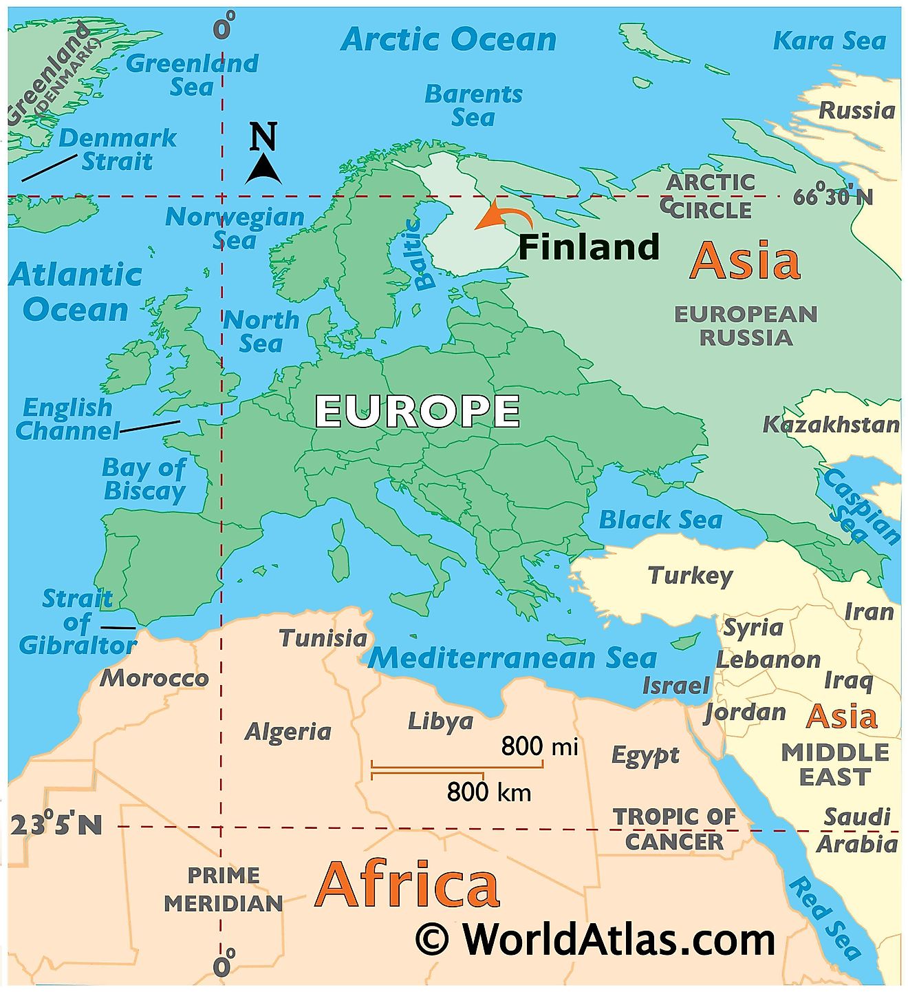
Finland is a Northern European sovereign nation. It is also one of the world’s most northern and geographically remote countries. Finland is positioned both in the Northern and Eastern hemispheres of the Earth. It is bordered by 3 nations: by Sweden in the northwest; by Russia in the east and by Norway in the north. Finland is also bounded by the Gulf of Bothnia in the southwest and the Gulf of Finland in the south. It shares maritime borders with Estonia.
Finland Bordering Countries: Russia, Sweden.
Regional Maps: Map of Europe
Outline Map of Finland
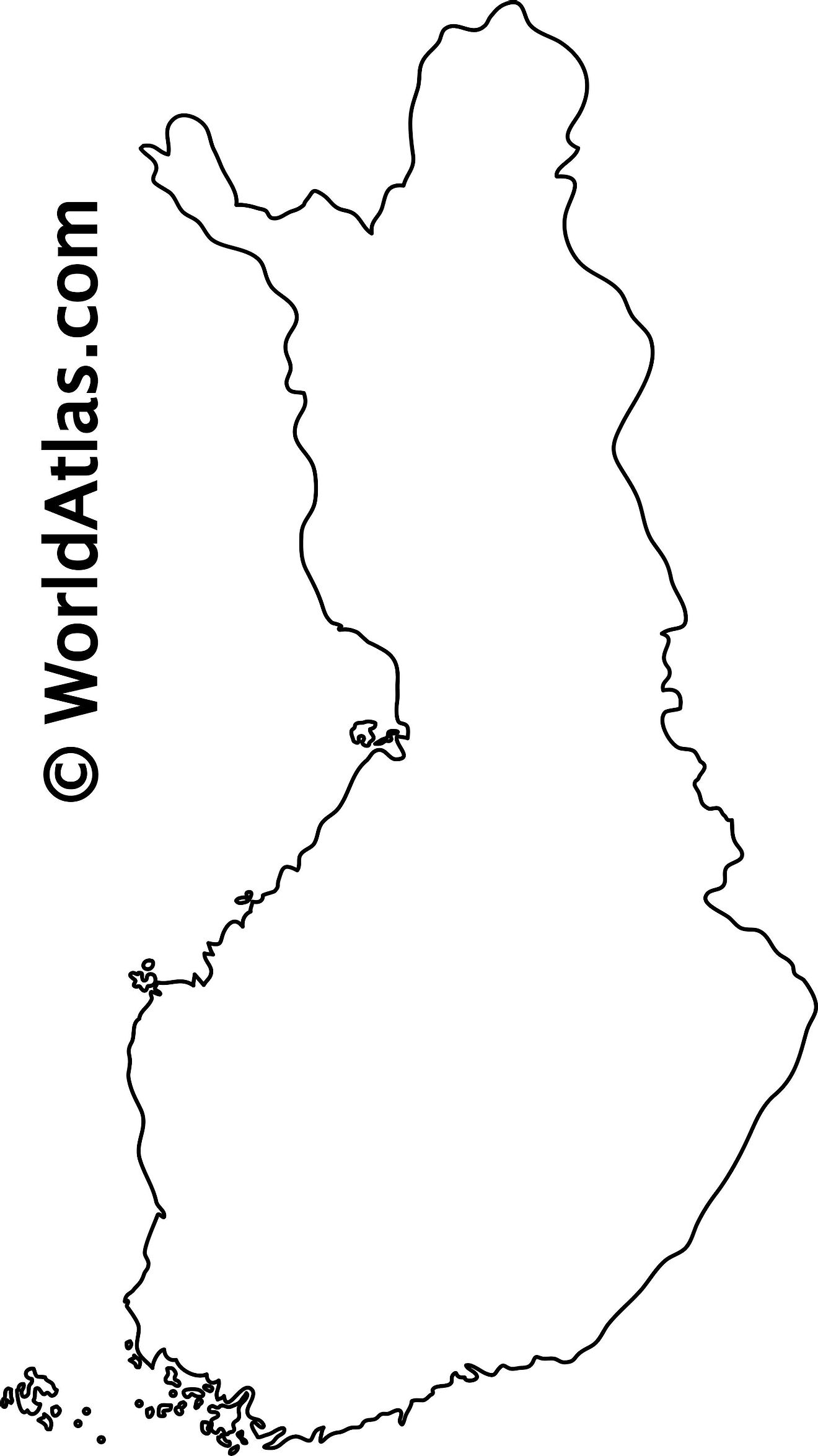
The above blank map represents Finland, a Nordic country located in Northern Europe. The above map can be downloaded, printed and used for educational purposes like map-pointing activities and coloring.
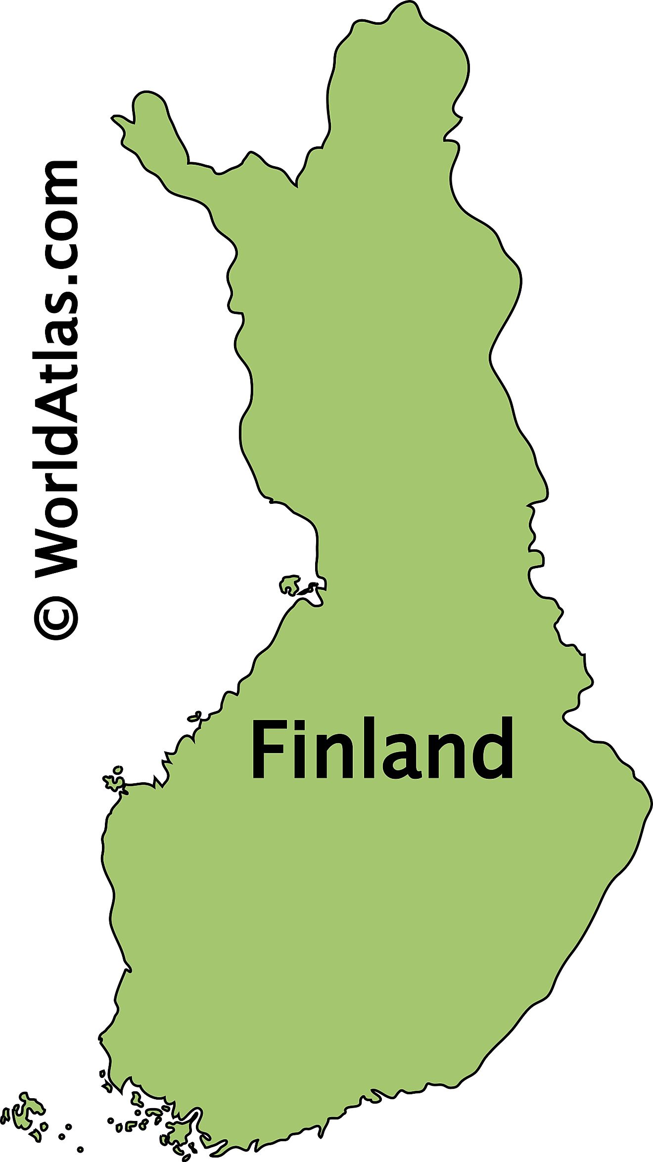
The above outline map represents Finland - a Northern European nation. Covering an area of about 338,455 sq. km, it is the 8th largest country in Europe and the most sparsely populated country in EU.
Key Facts
| Legal Name | Republic of Finland |
|---|---|
| Flag |
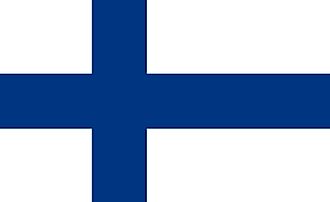
|
| Capital City | Helsinki |
| 60 10 N, 24 56 E | |
| Total Area | 338,145.00 km2 |
| Land Area | 303,815.00 km2 |
| Water Area | 34,330.00 km2 |
| Population | 5,520,314 |
| Major Cities |
|
| Currency | Euros (EUR) |
| GDP | $268.76 Billion |
| GDP Per Capita | $48,685.85 |
This page was last updated on February 24, 2021
