Maps of Nicaragua
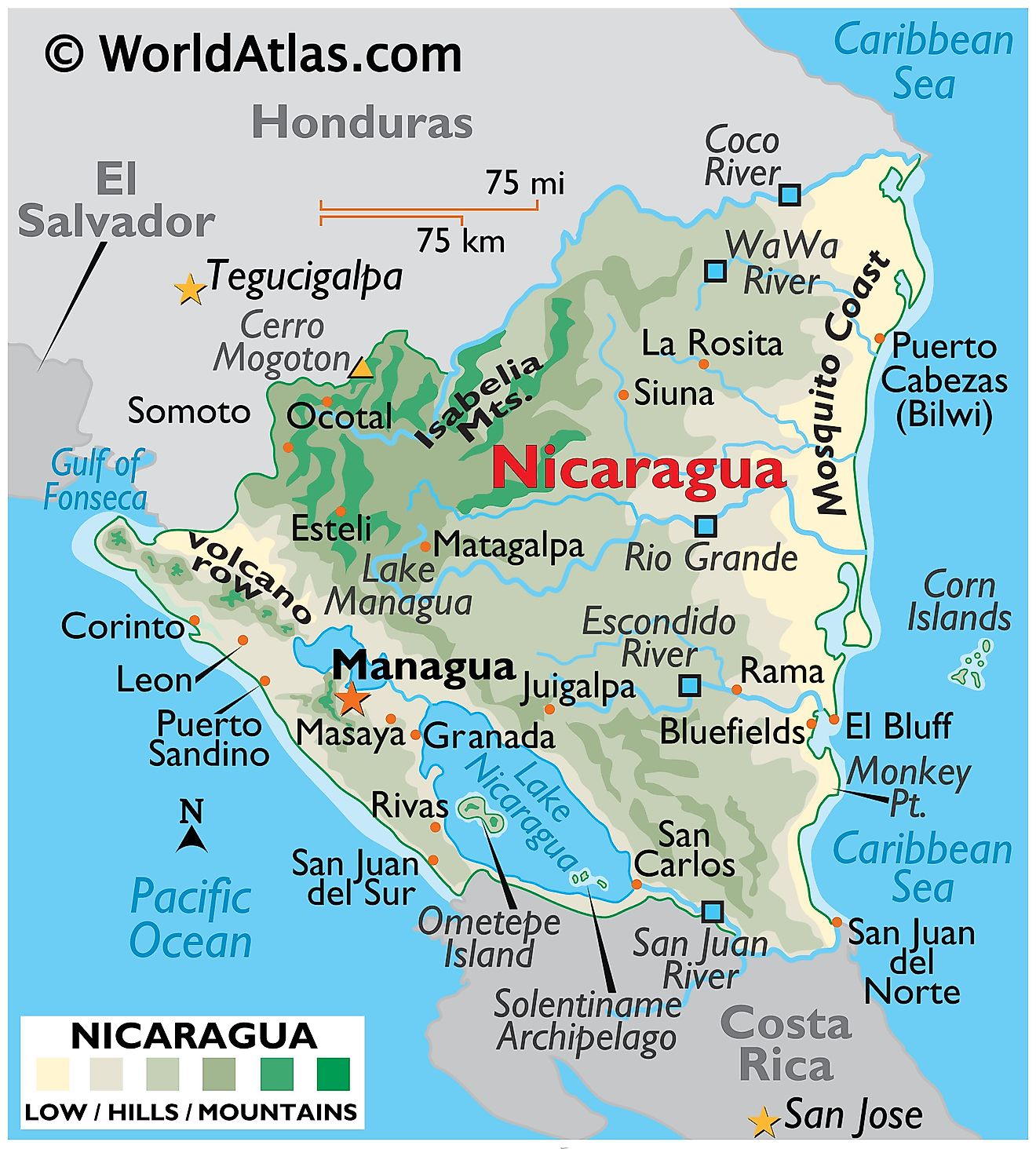
Nicaragua, located in Central America, is bordered by Honduras to the north, Costa Rica to the south, the Pacific Ocean to the west, and the Caribbean Sea to the east. The country spans an area of approximately 130,967 km2 (50,567 mi2), making it the largest country in Central America.
Pacific Lowlands form the western region of Nicaragua. This area is characterized by a hot climate, fertile volcanic soil, and numerous lakes and lagoons. The region extends from the Gulf of Fonseca in the north, along a line of volcanic marls known as the "Cordillera de los Maribios," toward Costa Rica in the south. Within this region lies Lake Nicaragua, the largest freshwater lake in Central America, and one of the few lakes in the world known to house freshwater sharks. The Pacific Lowlands also include the capital city of Managua, situated on the shores of Lake Managua.
North-Central Highlands represent a significant geographical region, marked by rugged mountains and extensive coffee plantations. This highland region experiences cooler temperatures and more rainfall than the lowlands. Jinotega and Matagalpa are major cities in this area, notable for their elevation and coffee production. The highest point in Nicaragua, Pico Mogotón at 2,085 meters (6,841 feet), is located in this region, marking the border with Honduras.
Caribbean Lowlands cover the eastern part of the country. This extensive and sparsely populated region features rainforests, rivers, and swamp lands. The climate here is humid and tropical, with substantial rainfall. The Coco River, the longest river in Central America, flows through this region and forms part of the border with Honduras. The Caribbean Lowlands are distinct from the rest of the country both geographically and culturally, with a significant portion of the region covered by the autonomous regions of the North Caribbean Coast and the South Caribbean Coast.
Mosquito Coast, situated in the northeastern part of Nicaragua, is part of the Caribbean Lowlands and extends along the Caribbean Sea. This region is named after the indigenous Miskito people, not the insect. It is known for its tropical rainforests, coastal lagoons, and biodiversity. However, its geography is marked by low elevation, with swampy marshes and rivers that drain into the Caribbean Sea. The region's low-lying nature makes it susceptible to flooding, especially during the rainy season.
Central Region of Nicaragua is characterized by its diverse landscape, which includes lakes, volcanoes, and fertile valleys. This region is home to a string of volcanoes that run parallel to the Pacific coast, forming part of the Pacific Ring of Fire. The volcanic chain includes notable peaks such as Mombacho and Masaya. The region's volcanic activity has created rich soils that are ideal for agriculture.
Political Map of Nicaragua
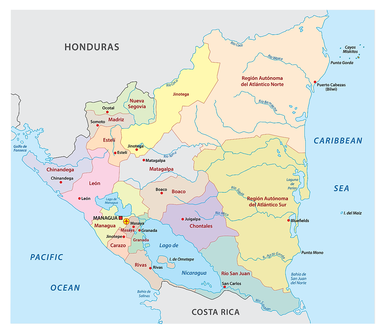
Nicaragua (officially, the Republic of Nicaragua) is divided into 15 departments (departamentos, sing. departamento) and 2 autonomous regions (regions autonomistas, sing. region autonoma). In alphabetical order, the departments are: Boaco, Carazo, Chinandega, Chontales, Esteli, Granada, Jinotega, Leon, Madriz, Managua, Masaya, Matagalpa, Nueva Segovia, Rio San Juan and Rivas. North Caribbean Coast Autonomous Region (Costa Caribe Norte) and South Caribbean Coast Autonomous Region (Costa Caribe Sur) are the two autonomous regions of Nicaragua. The departments are further subdivided into 153 municipios (municipalities).
Covering an area of 130,967 sq. km, Nicaragua is the largest country in Central America. Located on Lake Managua’s south western shores is, Managua – the capital, the largest and the most populated city of Nicaragua. It is also the administrative, commercial, educational and economic hub of the country.
Where is Nicaragua?
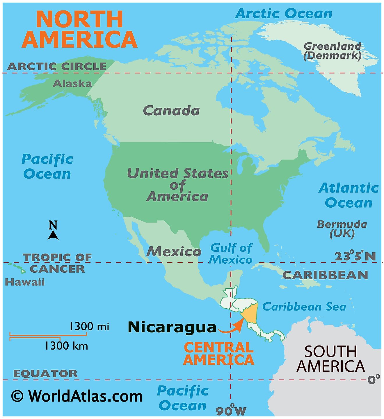
Nicaragua is a large country located in Central America. It is positioned both in the Northern and Western hemispheres of the Earth. Nicaragua is bordered by Honduras to the northwest and by Costa Rica to the south. It is bounded by the Caribbean Sea to the east and by the Pacific Ocean to the southwest.
Nicaragua Bordering Countries: Costa Rica, Honduras.
Regional Maps: Map of North America
Outline Map of Nicaragua
The above blank map represents the Republic of Nicaragua, a Central American country. The map can be downloaded, printed and used for educational purposes.
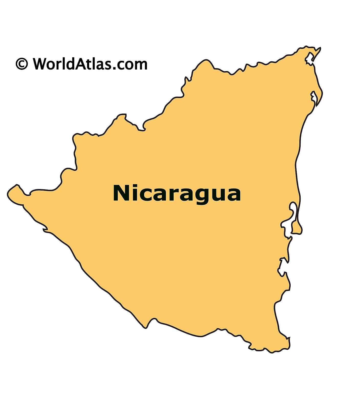
The above outline map represents Nicaragua, a country in Central America. With an area of 130,967 sq. km, it is the largest country in Central America.
Key Facts
| Legal Name | Republic of Nicaragua |
|---|---|
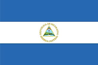
| Flag |
|
| Capital City | Managua |
| 12 08 N, 86 15 W | |
| Total Area | 130,370.00 km2 |
| Land Area | 119,990.00 km2 |
| Water Area | 10,380.00 km2 |
| Population | 6,545,502 |
| Largest City |
Managua (1,094,510) |
| Currency | Cordobas (NIO) |
| GDP | $12.52 Billion |
| GDP Per Capita | $1,912.90 |
This page was last updated on December 15, 2023


