Cozumel
Isla Cozumel is a large island and a municipality of the Mexican state of Quintana Roo located in the northwestern Caribbean Sea. The island is situated approximately 16 km off the eastern coastline of Mexico’s Yucatán Peninsula and about 82 km to the south of the Mexican city of Cancún. The Cozumel Channel separates Cozumel island from the mainland.
Geography

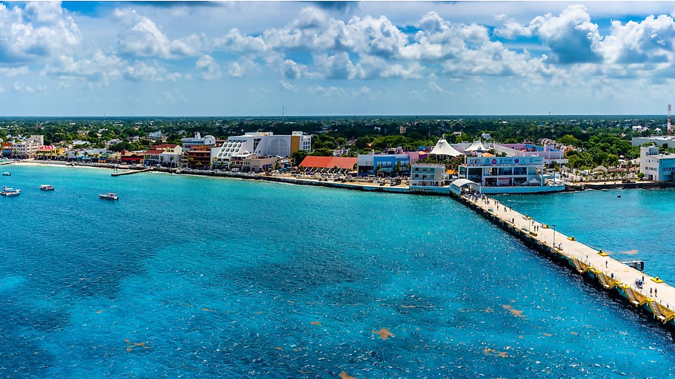
Covering a total area of about 489 km2, Cozumel is the largest inhabited island in the Mexican Caribbean region. After Tiburón Island and the Isla Ángel de la Guarda Island, Isla Cozumel is the third-largest island in Mexico. Located in the western part of the island is San Miguel de Cozumel, which is the largest city in the Cozumel Municipality and the island’s principal town and commercial center.
The island measures about 46 km in length and has a maximum width of 14 km. Large portions of the island are covered by mangrove forests. The topography of the island is mostly flat with soft limestone soil and the island’s highest point rises to an elevation of only 14 m. Cenotes, deep water-filled sinkholes, and karst topography are some of the notable features of the landscape of Cozumel.
According to the Köppen climate classification, the Cozumel Island experiences a tropical savanna climate. The island faces a short dry season from February to April and a lengthy wet season that covers most of the year. Thunderstorms also frequently occur during the rainy season.
Wildlife

The different habitats of Cozumel Island are home to diverse plant and animal life which also includes many species and subspecies that are endemic to the island. Some of the endemic avian species that are found here are the Cozumel emerald, the great curassow, the Cozumel vireo, the Cozumel wren, and the critically endangered Cozumel thrasher. Some of the endemic mammal species that are found here include the critically endangered Cozumel Island raccoon, the Cozumel Island coati, the Cozumel fox, and the Cozumel harvest mouse. The Cozumel splendid toadfish is a toadfish species that is endemic to Cozumel. Various other species like the blue land crab, the American crocodile, and the black spiny-tailed iguana are also found here. The large boa constrictor is an invasive species on the Cozumel island.
Diverse coral reefs containing more than 1,000 species surround Cozumel. The coral reefs of the island form a part of the Mesoamerican Barrier Reef System which is the world’s second-largest reef. These coral reefs mainly comprise numerous soft and hard corals and provide a home to various Caribbean fish as well as different invertebrates like sponges, zoanthids, mollusks, crustaceans, and echinoderms. A major portion of the reef that is located in the island’s southern part is under the protection of the Parque Nacional Arrecifes de Cozumel. Together with the Manglares y Humedales del Norte de Isla Cozumel, this park is also protected as a Ramsar site under the Ramsar Wetland Convention. To protect the island’s beautiful coral reefs and its rich marine life, the National Marine Park of Cozumel Reefs was created by the Government of Mexico in 1996.
Brief History

Archaeological studies have revealed that Cozumel was first inhabited by the Mayans from about 300 to 1500 CE. It was regarded as a sacred place for the goddess Ixchel, who was the Mayan goddess of fertility. The Mayans hence named the island Cuzamil Pectin ("The Land of the Swallows”) in honor of the goddess’ favorite bird.
In 1518, the Spanish conquistador Juan de Grijalva led the first Spanish expedition to the island. The Spanish explorer Hernán Cortés also visited the island in 1519. The European expedition to the island brought diseases like smallpox with them, which resulted in the complete devastation of the Indigenous Mayan population. In the following years, the island served as an important hideout for pirates. During the Caste War of Yucatán, which ended the centuries-long war between the Mexican Indigenous peoples and Spanish conquistadors, some refugees settled on the island. The Government of Mexico officially recognized the town of San Miguel de Cozumel in 1849.
The economy of Cozumel is dependent on tourism and the island’s spectacular coral reefs, tropical climate, clear waters, sand beaches, and rich and diverse marine life serve as major tourist attractions. There are several resort areas on the island and the visitors to the island enjoy various recreational activities like scuba diving, snorkeling, para-sailing, kitesurfing, etc.


