Maps of Cook Islands
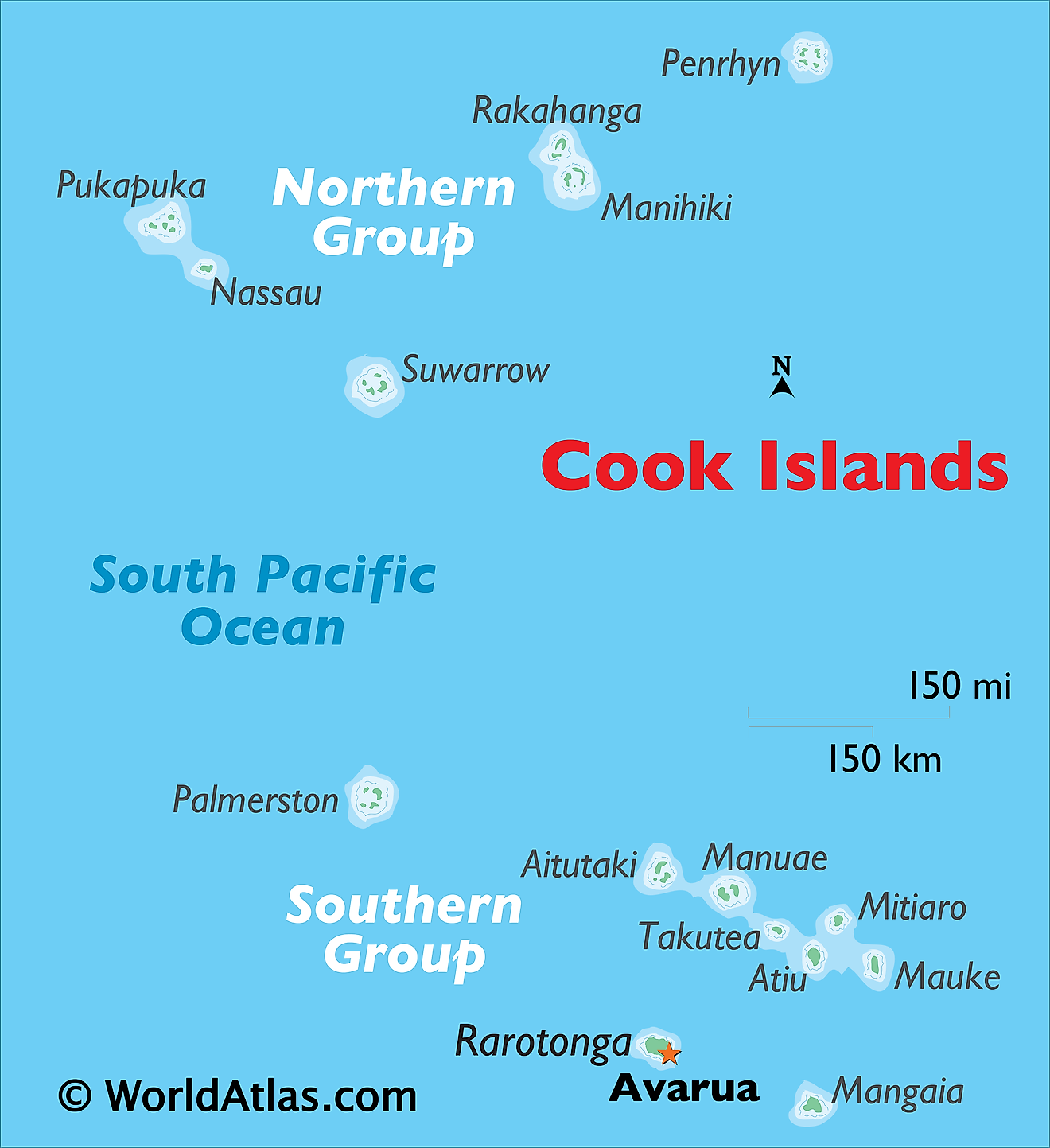
One of the smallest nations in the world, the Cook Islands covers a total land area of 240 sq. km. The Cook Islands are a group of 15 small islands that are spread over 2 million sq. km in the South Pacific Ocean. The 15 islands are geographically divided into the Northern and Southern island groups.
The northern islands as observed on the map above, are mostly low-lying and sparsely populated coral atolls; and include the islands of Manihiki, Nassau, Penrhyn, Pukapuka, Rakahanga, and Suwarrow. Typical of most smaller islands in this part of the world, these islands are covered in light vegetation and equipped with stunning white sand beaches.
The southern islands generally consist of much larger higher islands that are volcanic in origin and more densely populated. The southern island group includes Rarotonga, Aitutaki, Atiu, Mangaia, Manuae, Mauke, Mitiaro, Palmerston, and Takutea. The distance between the two island groups is enormous. The highest point is Te Manga which rises to 652m on the Rarotonga island. The lowest point is the Pacific Ocean (0m).
Rarotonga, the largest of the islands is lush green and is ringed by white-sand beaches. Along with the stunning coral atoll of Aitutaki (with its blue lagoon and rich marine life), they epitomize the beauty of the Cook Islands and the entire Polynesian group. Here you can find the capital city of Avarua which is home to the bulk of the island's 18,000 residents.
Political Map of Cook Islands

Being a self-governing island nation, which is in free association with New Zealand, the Cook Islands have no such defined administrative divisions.
However, there are 10 outer island councils in the inhabited islands. These are Aitutaki (also includes Manuae, which is uninhabited), Aitu (includes the uninhabited Takutea), Mangaia, Manihiki, Ma’uke, Mitiaro, Palmerston, Penrhyn, Pukapuka (also includes Nassau and Suwarrow), and Rakahanga.
Covering a total land area of 240 sq. km, the Cook Islands are scattered over 2 million sq. km in the Pacific Ocean. Located on the northern part of Rarotonga Island, in the southern group of Cook Islands is Avarua – the capital and largest city of Cook Islands. It is also the principal administrative and commercial center of the island nation.
Where is Cook Islands?
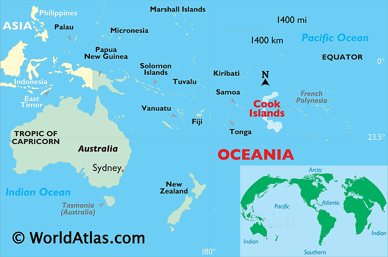
The Cook Islands are a group of 15 small islands that are spread over 2 million sq. km in the South Pacific Ocean. These islands are geographically positioned both in the Southern and Eastern hemispheres of the Earth. The islands are situated in the center of the Polynesian Triangle – about halfway between Hawaii and New Zealand. The Cook Islands are located to the east of Niue, Tonga, and Samoa; to the north-east of New Zealand; to the south of Kiribati and to the west of French Polynesia.
Regional Maps: Map of
Outline Map of Cook Islands
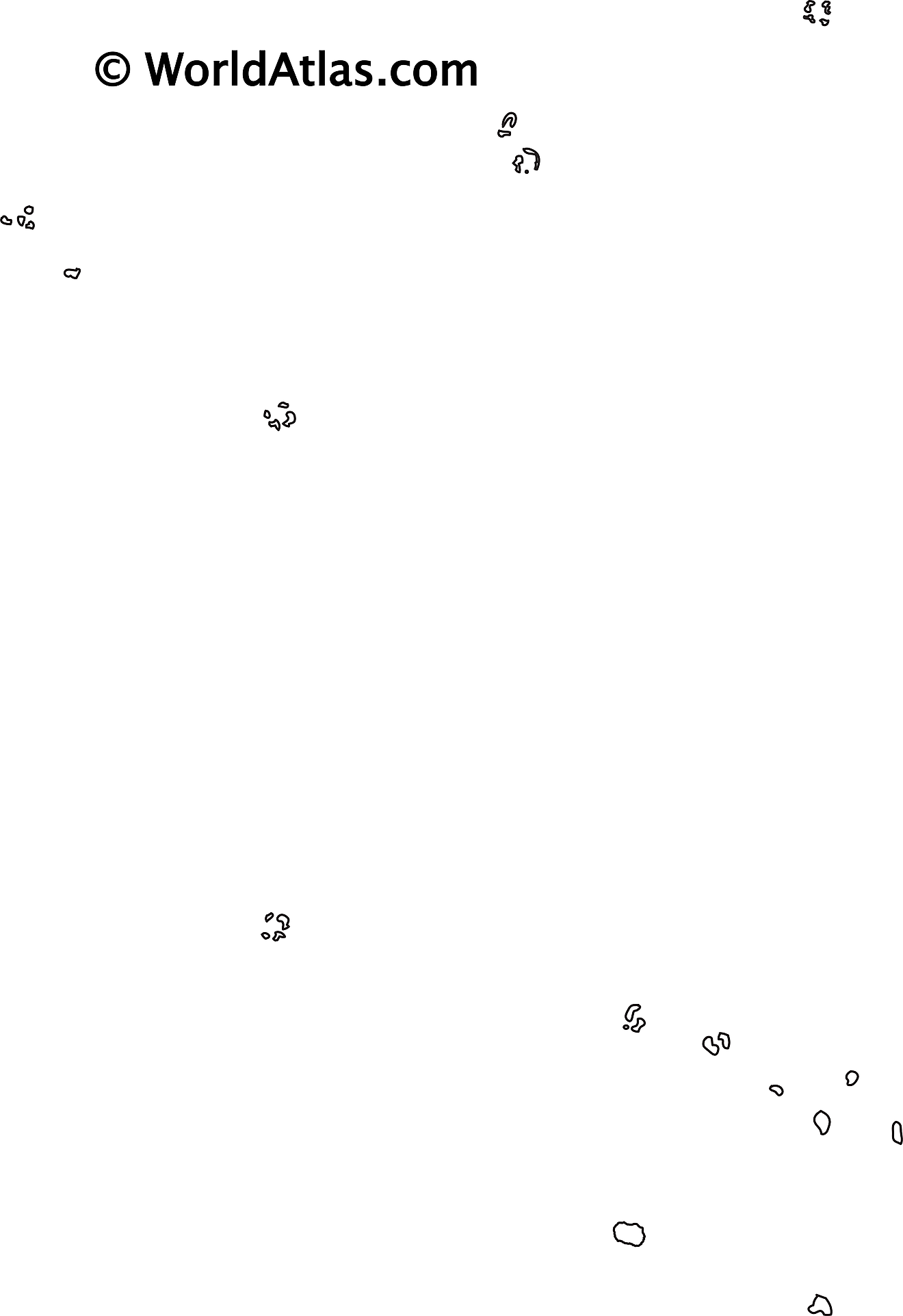
The above blank map represents Cook Islands - a group of 15 small islands that are spread over 2 million sq. km in the South Pacific Ocean. The above blank map can be downloaded, printed and used for geography education purposes like map-pointing and coloring activities.
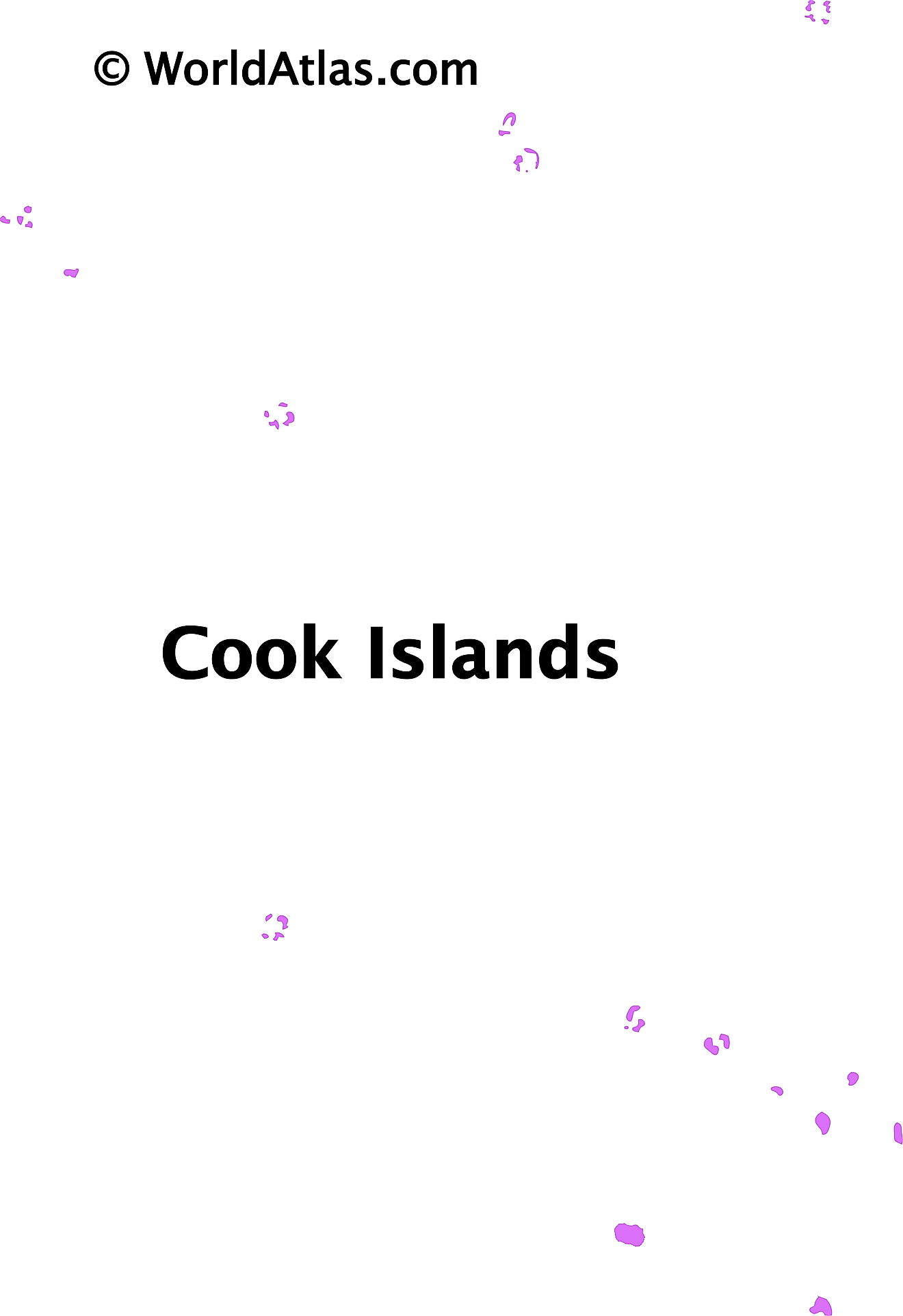
The above outline map represents Cook Islands - a group of 15 small islands that are spread over 2 million sq. km in the South Pacific Ocean.
Key Facts
| Legal Name | Cook Islands |
|---|---|
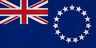
| Flag |
|
| Capital City | Avarua |
| 21 12 S, 159 46 W | |
| Total Area | 236.00 km2 |
| Land Area | 236.00 km2 |
| Water Area | N/A |
| Population | 9,038 |
| Currency | NZ dollars (NZD) |
This page was last updated on December 9, 2023


