Newfoundland and Labrador
Newfoundland and Labrador Flag
DESCRIPTION
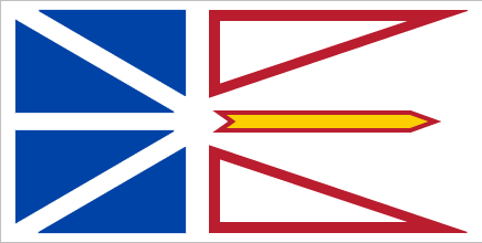
The Newfoundland and Labrador flag was officially adopted and hoisted in 1980.
It was designed by artist Christopher Pratt. White is symbolic of snow and ice; blue represents the sea, red represents the human struggle for success, and gold the confidence of the Canadian people. The two triangles outlined in red are symbolic of the mainland and the islands of the province, and the golden arrow points to a bright future.
All Province and Territory Flags here!
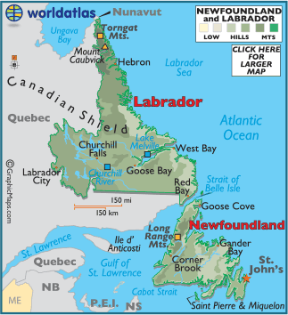
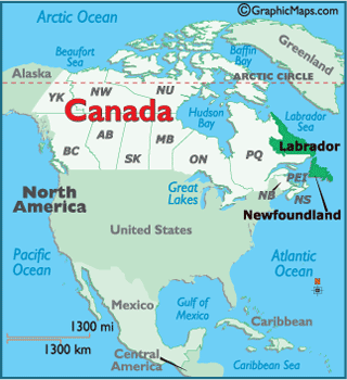
Map of Newfoundland and Labrador here!
 Buy this flag, or any Canadian flag here
Provinces & Territories Of Canada
This page was last updated on July 10, 2020


