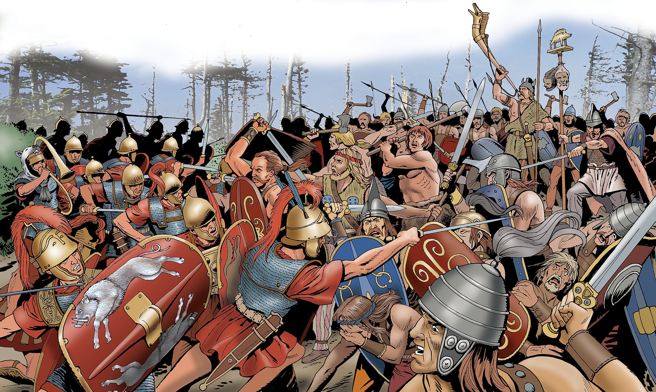
What Romans Saw When They Reached New Parts Of The World
The Roman Empire existed as a unified empire from 27 BC to AD 476. Starting in Italy, and then eventually stretching all the way around the Mediterranean and beyond, from Scotland to the bottom of Egypt, the Romans built one of the grandest and most diverse empires that the world has ever seen. As advanced as the Romans were for their time, they lacked modern tech like GPS and the internet. To learn about the world around them, they were constantly exploring foreign lands and, thankfully, did a decent job of recording what they saw and discovered.
This article will look at the four edges of the empire and briefly go over what the Romans saw when they reached those regions, those being Carthage and Spain to the West, Northern England/Scotland to the North, Mesopotamia to the East, and Egypt and Arabia to the South.
The West
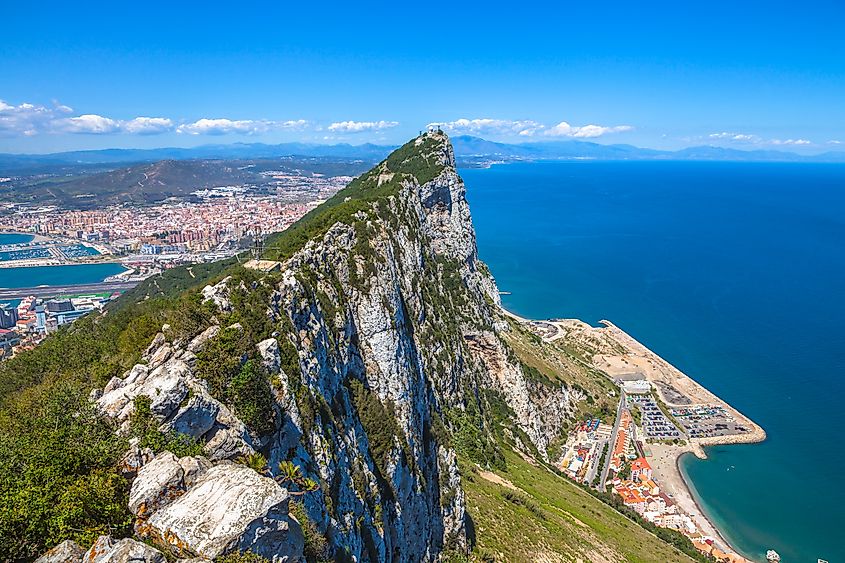
From Carthage (Tunisia in modern-day Africa) and Spain, the western half of the Roman Empire was expansive, reaching out to the coasts of the Atlantic Ocean. After the defeat of Carthage in 146 BC, explorers were tasked with finding the true extent of the lands of their once greatest adversary.
The gateway from the Mediterranean to the Atlantic Ocean, the Strait of Gibraltar, was probably the most notable gain for both political and economic reasons. Accompanied by the towering Rock of Gibraltar, the Romans now had a way to explore the African, European, and British coast by ships and control who could come in and out of the Mediterranean. South of the Strait of Gibraltar was the Atlas Mountains on the African side of Morocco.
According to several accounts, Roman explorer Cornelius Balbus was the first Roman to the western Sahara region in 19 BC. Here, he conquered northern Libya from the Garamantes people before going as far west as the Niger River. They called this vast area "Aethiopia". These explorers also likely encountered wild animals like Barbary lions, which are unfortunately extinct. The expansive deserts of the Sahara were not economically feasible, whereas the temperate and rich coasts of Southern Spain, which were eventually heavily populated with Roman settlements, provided the empire with plenty of olive trees and other farmable resources.
The North
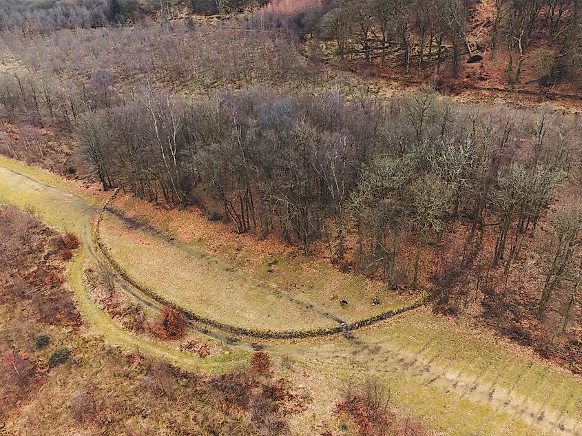
In AD 43, the Romans invaded England, and over the next 45 or so years, they inched north until they reached the furthest northern limit of the empire in central Scotland. They built the Antonine wall and slowly regressed back toward the south until the early 5th century AD, when the Romans left the British Isles altogether. The Romans knew of Britain sometime before they first stepped foot on its soil. This is thanks to trade with some of the tribes to the south of England, like the Atrebates, who traded important natural resources like tin to help the Romans formulate bronze.
It is not exactly known where the Romans first landed with their invasion force, with bays near either Chichester or Richborough in southern England being the most likely due to notable archeological discoveries pointing towards military encampments found in those areas. There was likely a bit of shock to the Romans who first came to this northern expanse, with the weather being significantly colder and rainier than they may have been used to in the southern reaches of the Mediterranean, which was and is known for it temperate and hospitable climate.
Not long after, the Roman legions made their way up to the site of what would become London and witnessed the importance of the River Thames, which flew right through the land, providing all with a source of fresh water and a highway that could be navigated further inland. As the campaign pressed on, the rolling green hills, at the time commonly covered with ancient woodlands, led into the mountains and lakes to the north. The famous Hadrian's Wall and then further north, the Anyonine Wall, were built to defend Rome's newly acquired land from Caledonian tribes who were ferocious warriors.
The East
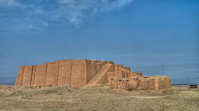
Mesopotamia, which was once called Babylon, and is now the site of countries like Iraq, Iran, and Kuwait, was likely the furthest east the Roman Empire ever extended to. Taken from the Parthian Empire by emperor Trajan in 115 AD, the new province was covered in a desert-like landscape with enough water resources to support robust agriculture and several large cities, most notably Babylon, Selucia, Ctesipon, and Charax, the latter being a long-time trading partner on the shores of the Persian Gulf. Many Romans may have been surprised to see so many large urban centers. Even with the abundance of water, the hot and arid climate likely took time for Romans from far away to adapt.
The distinct architecture of this region must have been a real standout for the average Roman soldier, with massive temples known as Ziggurats dotting the land, most notable of which is the Great Ziggurat of Ur, a massive monument that still stands to this day in modern-day Iraq.
The Romans would have also had trouble missing the huge diversity of peoples and cultures in Mesopotamia, with empires like Parthians, Babylonians, and eventually Sassanians calling this place home, along with other distinct peoples like the Armenians. Zoarastianisn was the most widely held religion here, which was distinct from Roman polytheism, or paganism, in that it only worshipped one god instead of many.
The South
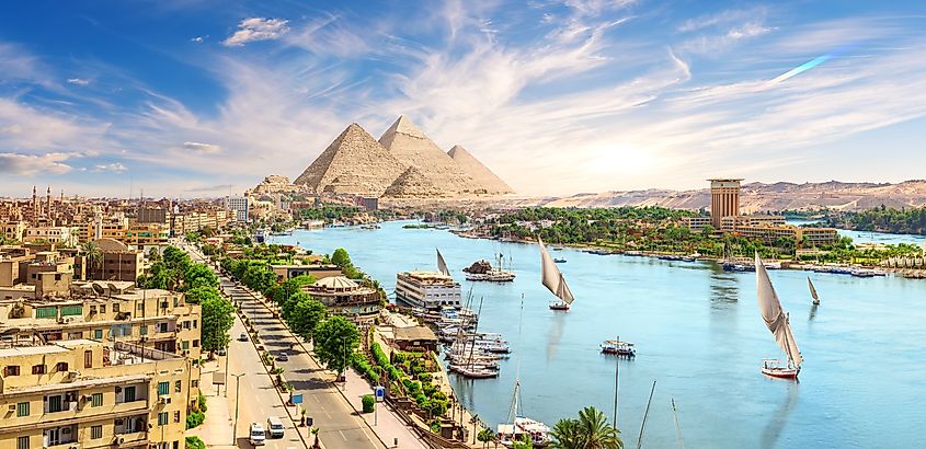
Rome's association with Egypt is no secret. With popular figures who called this region home, like Cleopatra and Mark Antony, known to many, this long-standing Roman province to the far south of the empire is still one of the most fascinating aspects of Roman history. When the Romans first arrived and conquered the crumbling Ptolemaic Kingdom (which had ruled Egypt since 305 BC), they got to experience firsthand the architectural wonders here, along with hugely important natural features to the economy like the Nile River.
To start, the ancient city of Thebes was a technical and archeological wonder, even for the Romans. The Grand Temples of Karnak and Luxor and the Valley of the Kings were just a couple of examples of Egyptian ingenuity before the Roman legions arrived in force. A mention also must be made of the Great Pyramid of Giza, which was the largest man-made structure that any Roman had ever seen throughout the entirety of the Roman Empire.
The Nile River allowed the Romans and their traders to delve deeper into the heart of Africa, where some of most southern Roman settlements were ever established in what many call "Nubia" in southern Eqypt/northern Sudan, where both the flora/fauna and the climate were likely incredibly foreign to Roman travelers and settlers. Truly, the southernmost outpost of the Roman Empire was located in the Farasan Islands in the Red Sea as a garrison and trading post, nearly 2,500 miles from the city of Rome! Its empty, desert-like landscape was verifiably the most alien thing Roman eyes ever set eyes on.
What the Romans saw in each corner of their empire shaped their worldview and expanded their knowledge in ways they never knew possible. It is a testament to the power of travel, even to this day. How much of the world have you seen with your own eyes? How many different biomes have you explored, or unique cultures have you interacted with?


