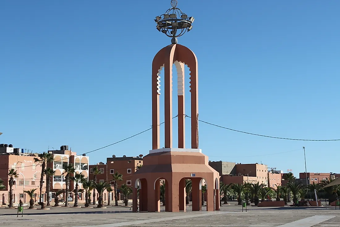
The Largest Cities in Western Sahara

Western Sahara is a disputed territory found in the Maghreb area of West and North Africa. It is one of the most sparsely-populated areas on the planet and is mainly composed of desert flatlands. The Spanish occupied the region until the late twentieth century. The United Nations recognized Western Sahara as a non-self-governing region in 1963. The UN asked the Spanish government to decolonize Western Sahara in 1965, and by 1975 Spain relinquished control over the region to the joint administration of Mauritania and Morocco.
The Largest Cities In Western Sahara
Laayoune
Laayoune is the largest city in Western Sahara with a population of about 217,732 people. Over 40% of the residents of Western Sahara live in Laayoune. Antonio Oro established the city in 1938. Laayoune became the capital of the Spanish Sahara in 1940. It is the capital city of Laayoune-Sakia-El-Hamra area that is administered by the Moroccan government. Laayoune is split into two by River Saguia-el-Hamra.
Ad-Dakhla
Ad-Dakhla is a Western Saharan city that is situated in the Rio-de-Oro Peninsula on the Atlantic Coast. It is about 342 miles south of Laayoune. It is the capital city of Dakhla-Queb Ed-Dahab and the second-most populous city in Western Sahara with a population of about 106,277 people. Ad-Dakhla became the capital of Rio-de-Oro province during the colonial era. the Spanish occupied Ad-Dakhla from the late nineteenth century to 1975 when they relinquished the region to Mauritania and Morocco. Ad-Dakhla served as the capital of Tiris al-Ghabiyya province, Mauritania from 1975 to 1979.
Smara
Smara is situated in the Moroccan-controlled region of Western Sahara which is served by Smara bus station and Smara airport. Smara is the third-largest city in the region with a population of about 57,035 people. Smara was established in 1869 as an oasis for travelers in Saguia el-Hamra. The city was meant to be a caravan trading hub in the sparsely populated region, and it was expanded by craftsmen and local Sahrawis,
Cape Bojador
Cape Bojador is a bay that is located on the northern coastal region of Western Sahara. Situated on dangerous reefs which have sunk numerous vessels, Gil Eanes discovered the first passable route around the bay in 1434. The discovery was crucial for the European explorers and traders sailing to Africa. The cape was claimed by the Spanish in 1885 who controlled it until 1975 when they signed the Madrid Accords.
The Demographics Of Western Sahara
The native inhabitants of this territory are referred to as Sahrawis by the Western media, but in Morocco, they are known as Southern Berbers or Southerners. The natives of Western Sahara are the Berber-speaking community of Berber origin. The Sahrawis are nomadic Bedouins whose lifestyle resembles that of the Tuareg Berbers. The Moroccan-controlled part of the region was occupied by 267,405 people in 2004 excluding the 160,000 military personnel. Some Moroccans migrated to this territory, and currently, they outnumber the native Sahrawis. Western Sahara has a population of over 500,000 people.
The Largest Cities in Western Sahara
| Rank | City | Population |
|---|---|---|
| 1 | Laayoun | 217,732 |
| 2 | Ad-Dakhla | 106,277 |
| 3 | Smara | 57,035 |
| 4 | Cape Bojador | 42,651 |
| 5 | El Marsa | 17,917 |


