Which Countries Border Ecuador?

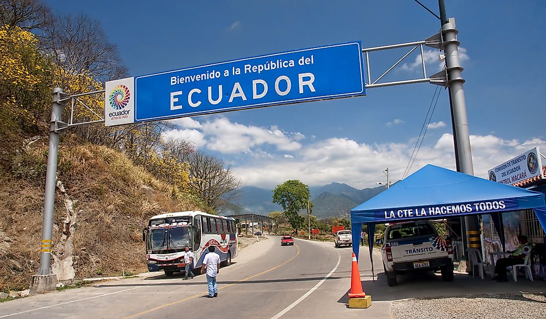
Ecuador is a small South American country situated northwest of the continent. The nation gets its name from the fact that it sits on the Equator. The country has a land border that stretches 1,390 miles. Ecuador shares its land border with two countries with Colombia to the north and Peru to the east and south.
Colombia
Colombia shares a land border with Ecuador that is 364 miles in length. The tri-point that connects Colombia, Ecuador and Peru marks the start of the land border from where it runs west until finally ending at the Pacific Ocean. The border was first demarcated by the Spanish when the region was a colony of the European kingdom. The large section of the border follows the original border which was demarcated after the disintegration of the Viceroyalty of New Grenada that resulted in the emergence of Gran Colombia and, later, the two independent countries.
Ecuador and Colombia have contested their border for many years. One of the earliest conflicts between the neighboring countries involving the border was the Ecuadorian-Colombian War of the 19th Century. The war erupted when Ecuadorian forces invaded what was then known as the United States of Colombia (modern-day Panama and Colombia) in 1863 in the Battle of Cuaspad. The difference between the two countries ended after the warring factions signed the Treaty of Pinsaqui in December 1863.
Peru
Peru is the second country that Ecuador shares its land border with and it is situated east and south of the country. The border, delimiting the two countries, is 950 miles in length, the longest border Ecuador shares with another country. The border starts at the tri-point connecting Peru, Colombia, and Ecuador and runs south and then west until ending at the Pacific Ocean. However, a maritime border extends offshore and is defined by the law of the sea.
The border is infamous for having a territorial dispute which caused one of the world’s longest-running armed conflicts, with the two countries being at war with each other between 1821 and 1998. The international border was first defined by Spain when the kingdom established its overseas colonies in South America. The Kingdom of Spain stipulated the extent of the border in the Royal Proclamations (Real Cedulas).


