What Is Geomorphology?

What is Geomophology?
Geomorphology, in its most basic definition, is the study of the earth's physical features and the processes in which those features are formed. Geomorphology comes from the Ancient Greek words "Ge", "morphe", and "logos" which mean "Earth", "change", and "study" respectively.
The Nature Of the Earth
Planet Earth stands out from the rest of the solar system's planets because it is the sole planet fit for human habitation. The planet is home to a dense array of flora and fauna. Through millions of years, Earth has seen a myriad of changes. These changes have affected the terrain of the planet, where certain plants and animals live, and continue to have an impact today. The soils of the Earth have been through immense changes. Land features have been created, destroyed, and changed through millions of years worth of physical processes. The terrain of the Earth today will continue to change in the future. Earth is a dynamic place and nothing on Earth is static. This is where the study of geomorphology comes into play. It is fitting that the root words for geomorphology mean "study the changes of Earth".
The Role Of the Geomorphologist
A geomorphologist studies the land forms of Earth. They also will study why land forms have the appearance they have and the history of specific land forms will be investigated. In studying the history of land forms, geomorphologists can predict changes that can take place in the future. Geomorphology is a subfield of physical geography. In order to understand the changes on the earth's surface, geomorphologists will conduct field observations. Experiments and numerical modeling will take place as well.
Fields Within Geomorphology
The specific field a geomorphologist studies in depends on the concentration. A glacial geomorphologist will study how glaciers and ice sheets have shaped the land forms of a specific area. Among the land forms that glacial geomorphologists will study include eskers, moraines, glacial lakes, and cirques. Fluvial geomorphologists study rivers and the effect erosion from rivers will have on the terrain. Rivers transport sediments, will cut through bedrock, and deposit sediments, playing a role in meanders forming. Biogeomorphology is the study of how plants, animals, and other organisms can change the terrain of a particular geographic area. Biogeomorphologists will often study beaver dams, hillsides where trees are planted, the effects plants have on soil erosion, and the relationship between marine organisms and their effects on coastal land forms. One particular example of what a biogeomorphologist will research is how planting trees on hillsides can prevent landslides.
Processes That Change The Earth
A geomorphologist studies processes that shape the surface of Earth. To better understand this, the processes of this planet must be understood as well.
Aeolian processes refer to erosion by wind and are a major factor that often shape desert land forms. In regions where precipitation is sparse, wind is the main conduit for which the land is shaped. Arches, alcoves, and sand dunes are all land forms shaped by wind weathering.
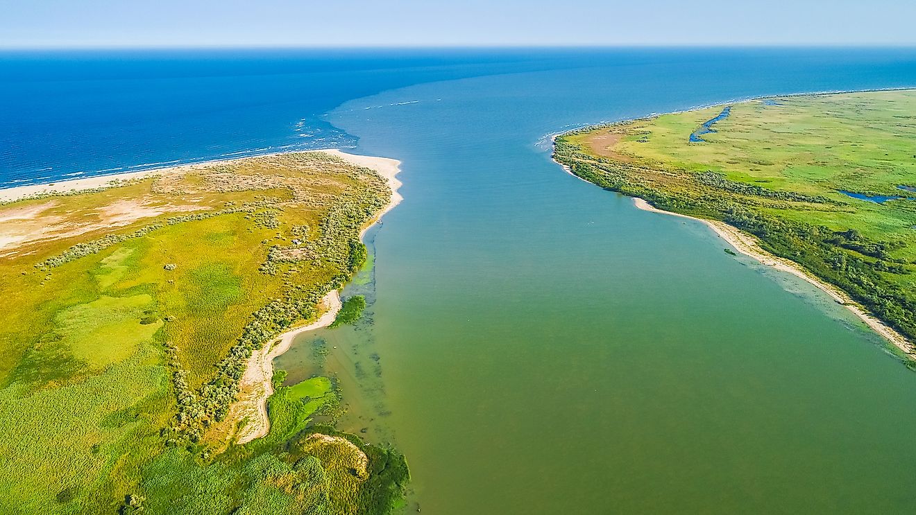
Fluvial processes involve weathering from rivers. Water is a major conduit of weathering. Rivers will break down and move sediments. Rivers also deposit sediments. Meanders and oxbow lakes are among the land features shaped by fluvial processes. A watercourse flowing through land will erode its banks, moving sediments, widening its valley, and depositing silt in other places. Its path bends due to erosion which is how a meander forms. When a meander is cut off from its main watercourse, often as a result of silt deposits, an oxbow lake forms. Rivers are responsible for producing valleys. River valleys are often V-shaped.
Other processes that affect the Earth include biological processes, glacial processes, and gravity.


