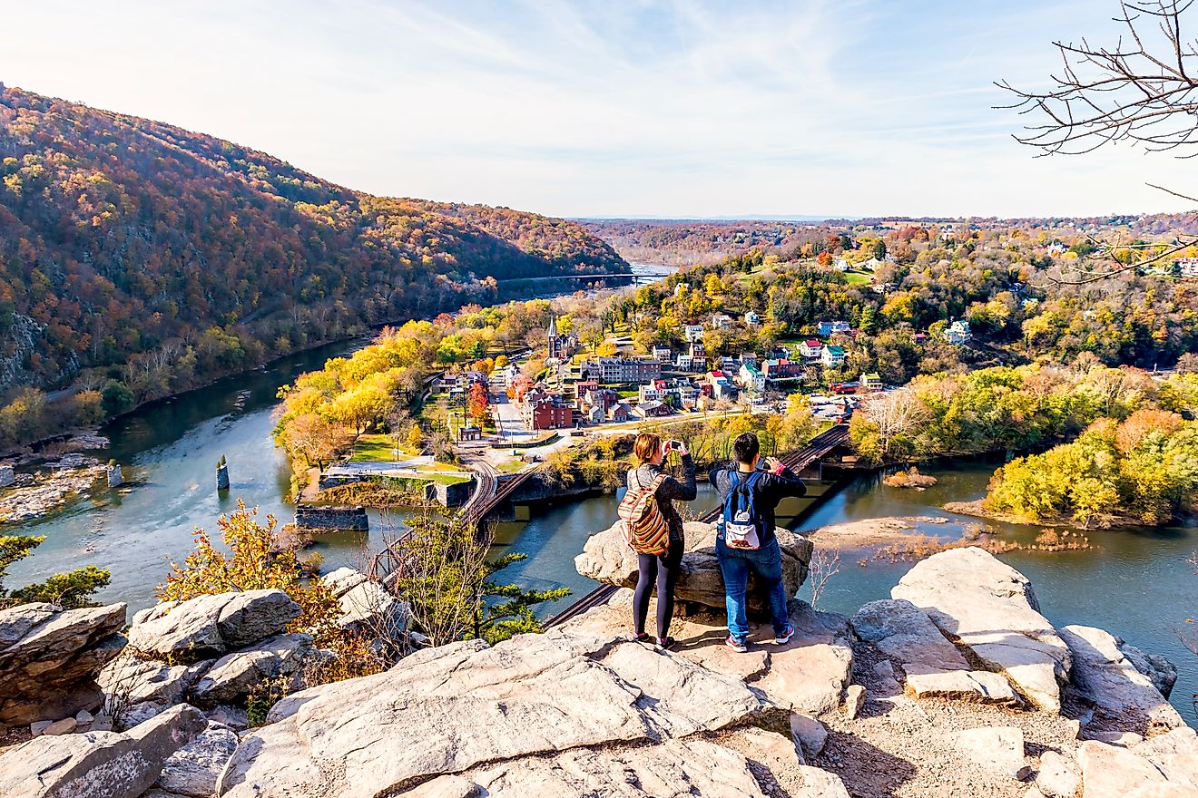
11 Most Scenic Nevada Towns
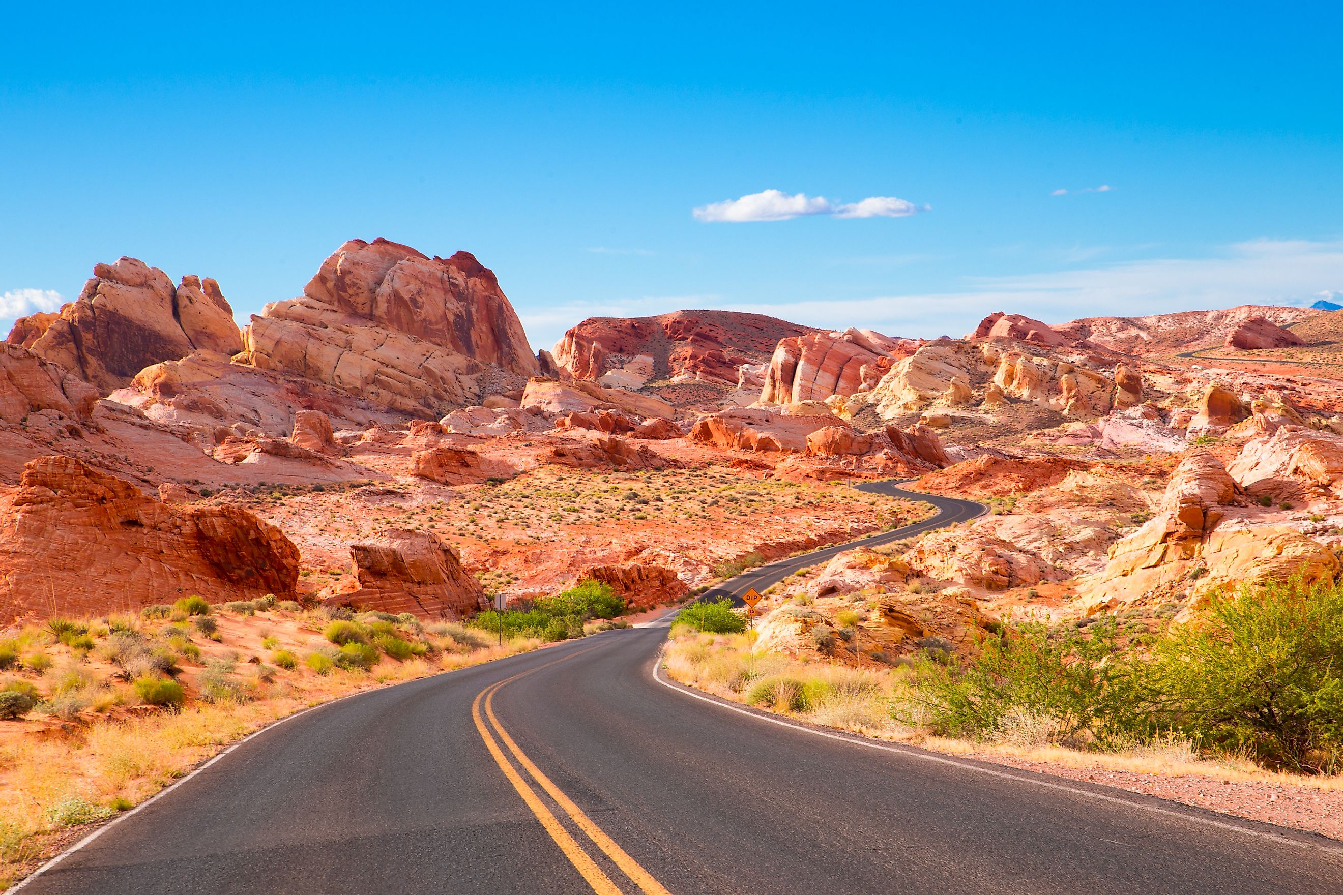
Often eclipsed by the glitz of Las Vegas, Nevada's quieter towns are gateways to awe-inspiring natural wonders. From the kaleidoscopic colors of Valley of Fire State Park to the mysterious depths of Death Valley National Park, the Silver State offers a rich tapestry of landscapes. Journey with us as we explore the charm of Nevada's small towns, set amid stunning deserts, lakeshores, and mountain ranges—each providing a unique vantage point to the state's untamed beauty.
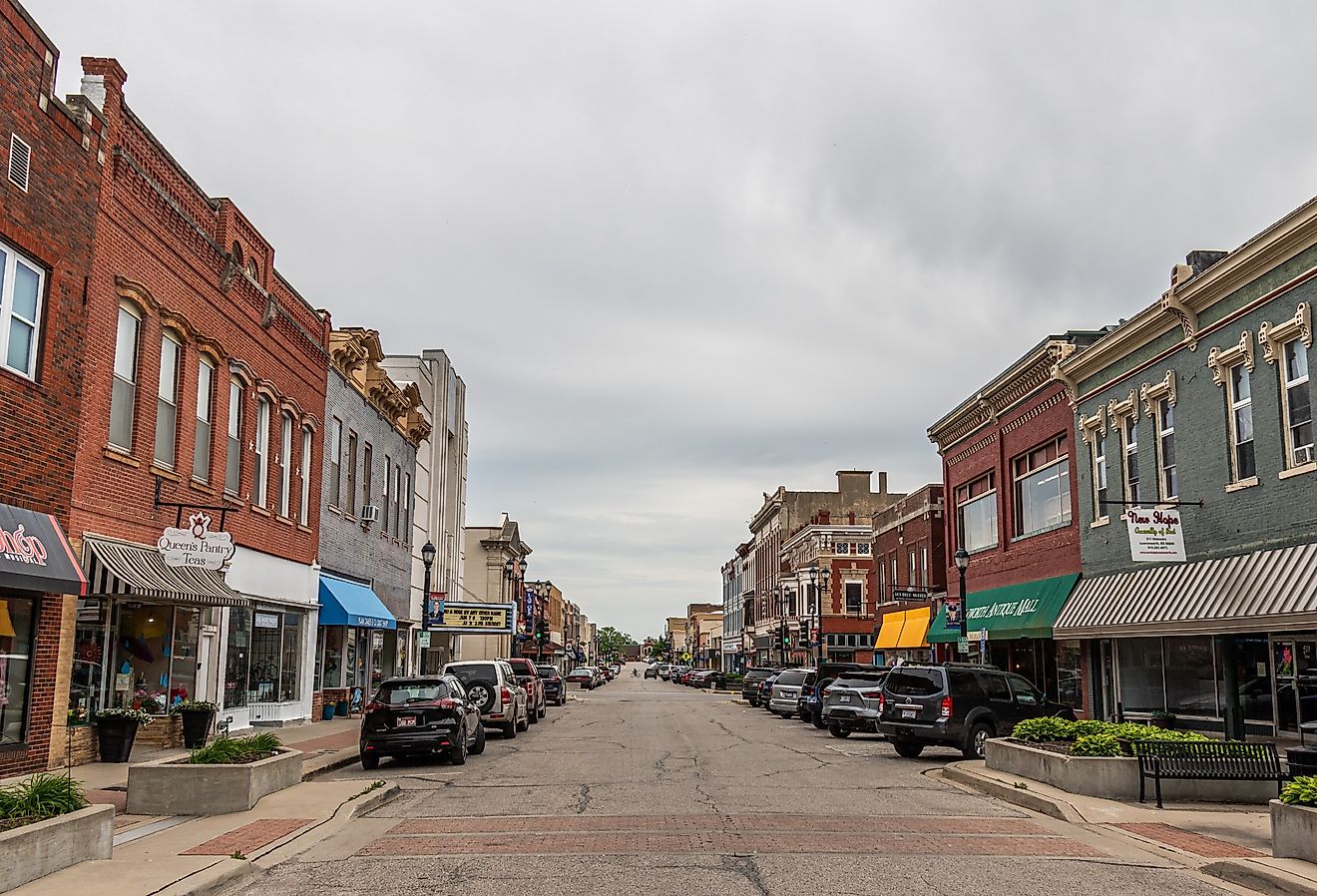
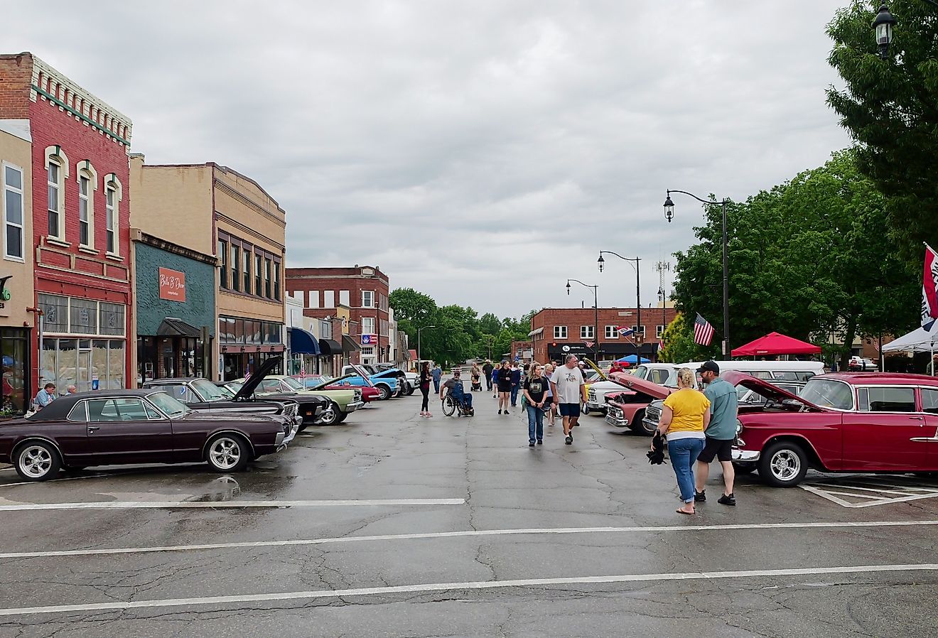
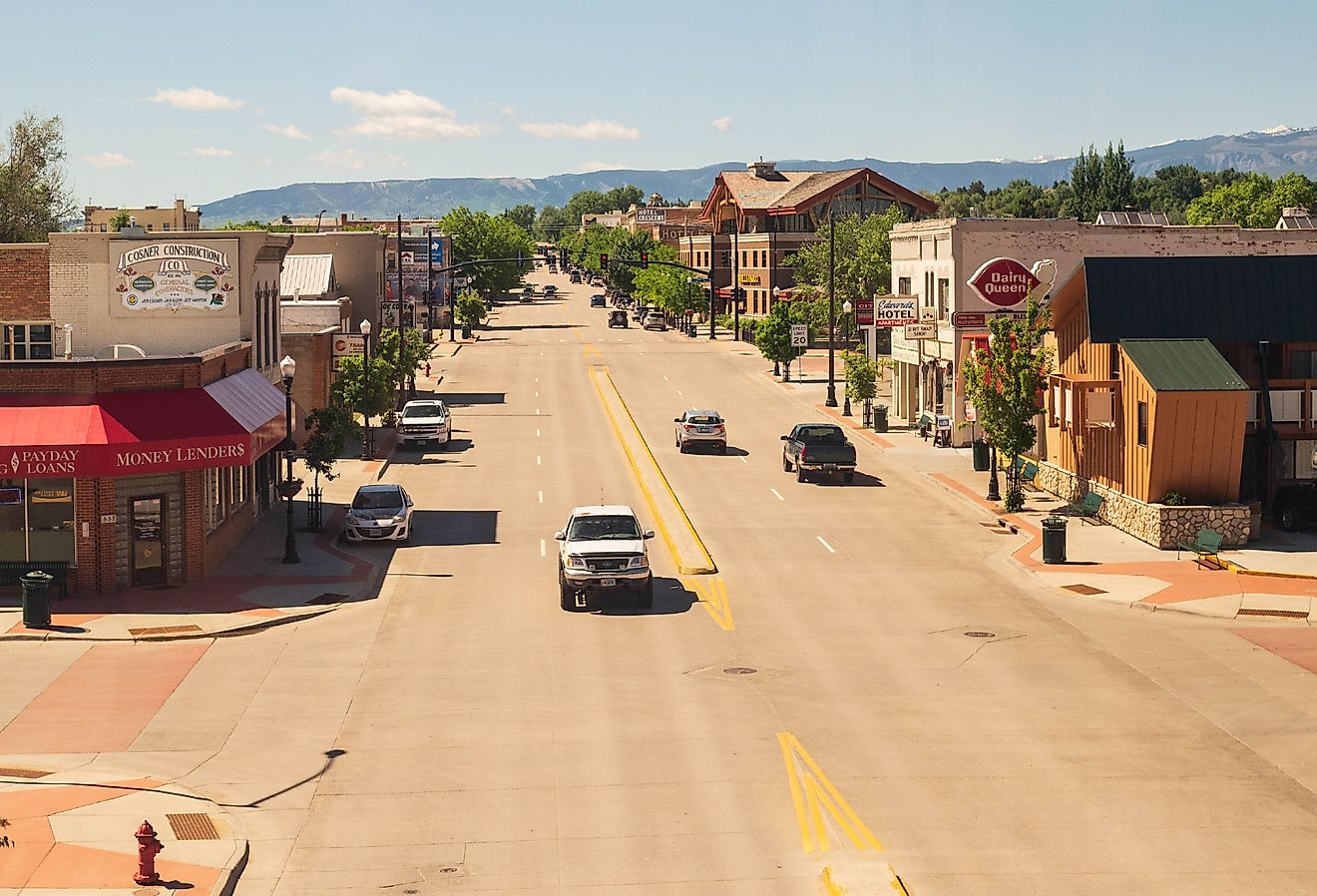
Virginia City

Named for a mid-1800s prospector, ‘Old Virginia' Fennimore, Virginia City, Nevada, was part of the extreme west of the state of Nevada. Virginia City is around a 75-minute drive to the California border. Sitting to the east of Virginia City, you will find Lyon Peak; to the northeast, Flowery Peak; and to the south, you will find Mt. Siegel. These mountains color the Virginia City skyline and are visible from many local Bed and Breakfasts, including Cobb Mansion Bed and Breakfast, Howard Street Home B and B, and Virginia City Bed and Breakfast. There are some fantastic hikes in this region, including the 'B' Street Route up to the summit of Mt. Davidson, where you will get a fantastic scenic view of the other surrounding mountains and Virginia City.
Gardnerville

Sitting in the center of Carson Valley, the town of Gardnerville, Nevada, offers unbeatable scenic views of the Sierra Nevada, particularly from the east of town. The western border of Gardnerville meets the eastern border of Dangberg Home Ranch Historic Park, with Lake Tahoe just beyond this, being approximately 30 minutes west of town by car. A great way to experience Gardnerville and the entire Carson Valley is from the air. There are multiple companies in Gardnerville with whom you can book private helicopter tours, these lasting anywhere from half an hour to two plus hours. Most of these tours leave Minden–Tahoe Airport, a 10-minute car ride north of the center of Gardnerville.
Sun Valley

Sun Valley is one of the larger towns in Nevada, with a population of approximately 22,600 residents. This town is located near Eagle Valley and the Carson Mountain Range, which provide a fantastic scenic background for the south-southwest of Sun Valley. In this community itself, you will find a variety of local green spaces, including, but not limited to, Sun Valley Regional Park, Highland Ranch Park, Sun Mess Park, and Gepford Park. Outside of town, there are numerous national and state parks within an hour’s drive, including Cave Rock, Lake Tahoe, Nevada State Park, and Toiyabe National Forest, both located south of town, and Dayton State Park, located southeast of town.
Genoa

Founded in 1851, the historic town of Genoa, Nevada, was established by a group of Mormon traders originally from Salt Lake City, Utah. Located at the foot of the eastern slope of the Sierra Nevada Mountain Range, Genoa is a short distance from some of the most scenic views in all of the United States. Just to the west of town, at a distance of 20 miles, you will find Lake Tahoe, while to the southwest of town, at a distance of 27 miles, is Eldorado National Forest. If you are looking for some picturesque hikes near town, Genoa Peak is accessible just a short walk from the main portion of the Tahoe Rim Trail that runs through the Toiyabe National Forest. Just beyond the border of Genoa, you will also have easy access to local hiking trails such as Genoa Canyon Trail and North River Fork Ranch Trail, both less than a 5-minute drive from the center of town.
Alamo

Not to be confused with the Alamo of ‘Remember the Alamo’ fame, Alamo, Nevada takes its name from the Spanish word for ‘poplar tree,’ this region being abundant with poplar trees, also known as cottonwood trees. Alamo, Nevada, is located in southern Lincoln County at the heart of the Pahranagat Valley. Surrounded by mountains that turn the Alamo skyline into a scenic masterpiece, from town, you can see Mount Irish to the northwest, Badger Mountain to the west, and the South Pahroc Range to the northeast. Approximately 20 minutes from town, you will find Pahranagat National Wildlife Refuge, where you can hike some of the same mountains seen from the Alamo.
Elko

Founded in 1868-69 as a mining community, the modern town of Elko, Nevada, has a population of approximately 20,000 residents. Located in northeastern Nevada, Elko is situated in the Humboldt River Valley, with the Humboldt River running through it. In Elko, you will find some lovely parks such as Southside Park, City Park, and, for families with young kids, Johnny Appleseed Park, which is a great place to spend an afternoon. A 15-minute drive southwest of the town center will bring you to the California Trail Interpretive Center, where you can get information about hiking in and around the Humboldt Valley. One of the most popular trails in the area is Southwest Meadows Trail, which is a 20-minute drive south of Elko.
Beatty

Situated in one of the most hauntingly beautiful and barren locations in the United States, Beatty, Nevada, is a small town of nearly 800 people. Known as the ‘Gateway to Death Valley Park,’ this town is located 8 miles southeast of the entrance to Death Valley National Park and a short drive west to the California-Nevada border. When you think of the Old West, images of gunslingers and tumbleweeds probably spring to mind, and that is the exact aesthetic that Beatty has maintained since its founding in 1900 as a railroad service center. This region has one of America's most unique scenic landscapes and the Mojave Desert in which it sits.
Incline Village

Located along the north shore of Nevada’s Lake Tahoe, in Washoe County, as of 2023, Incline Village's population is nearly 9,500. Sitting on the shores of north Lake Tahoe, Incline Village has abundant natural beauty, from dense forests and a lakefront to the south of this village to more mountainous terrain in the north and east. So dense is the forest near Incline Village that has been used for lumber production by the Sierra Nevada Wood and Lumber Company since the mid-1800s, one of the first trade products of this region. For visitors, Incline Village offers scenic outdoor exploration opportunities all year round, with activities during the summer out on Lake Tahoe, including canoeing, kayaking, and swimming, and, in the winter, skiing at Diamond Peak.
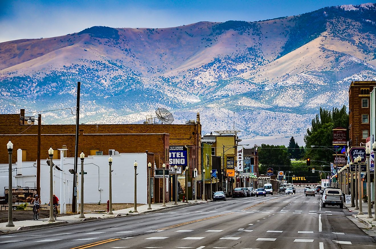
Caliente

Once known as Culverwell, Caliente is a town found in Lincoln County, Nevada. Situated along Great Basin Highway and Nevada Highway 317, the first settlers in this region were ranchers and farmers. Due to its proximity to Clover Creek and the local hot springs, the first to emigrate to this region chose its present location due to the easy access to fresh water. Caliente is the perfect place to get to know the local geology, with mountains outside of town that are especially beautiful to explore at dawn and dusk. Less than 10 minutes north of town, you will find Bennett Springs, which is a great place to hike, while Kershaw-Ryan State Park is located 3 miles south of town.
Winnemucca

Known as the ‘Friendliest Town in Nevada,’ the town of Winnemucca is located in Humboldt County. With a population of approximately 8,600 residents, this town has a lovely view in every direction from town, particularly to the southeast. In and around Winnemucca, some great campgrounds and RV parks provide a scenic view of the Humboldt River Valley, including Silver State RV Park, Winnemucca RV Park, and Water Canyon Recreation Area. Along the town's northern border, you will find Pioneer Memorial Park, where you can explore one of the oldest cemeteries in the region, housing the grave sites of the first pioneers to the region.
Blue Diamond

Situated in the shadow of the Spring Mountain Range, in Red Rock Canyon, Blue Diamond, Nevada, is one of the state's smallest towns, with a population that sits around 300 residents. The town itself is in the Mojave Desert, surrounded by a vast swath of flatland that eventually comes up against canyon walls, making it feel as if you are located at the bottom of a large lunar crater. Conveniently located 15 minutes by car south of Red Rock Canyon National Conservation Area, which is awash in fabulous hiking trails, the popular Turtlehead Peak Trail is worth a visit, as from the peak, you can see Blue Diamond and the surrounding Mojave Desert. Spring Mountain Ranch State Park is located to the northwest of town and within walking distance, where there are many other great hikes up to scenic vistas.
Nevada's Hidden Treasures
While the man-made marvels of Las Vegas often steal the spotlight, the natural wonders scattered throughout Nevada offer their brand of allure. Tucked away amid river-carved valleys and dramatic gorges, Nevada's small towns are sentinels to the state's geographical diversity. Forget the neon for a moment and let your eyes adjust to the shimmer of lakes, the rust hues of the desert, and the serene expanses of Gardnerville and Virginia Valley. In Nevada, natural beauty doesn't just compete with human-made spectacle—it often transcends it.