Cape Cod, Massachusetts
Cape Cod is a hook-shaped peninsula that extends 105km into the Atlantic Ocean from the southeastern edge of the mainland of the US State of Massachusetts. Cape Cod is conterminous with Massachusetts’s Barnstable County. The scenic beauty, beaches, favorable climate, and proximity to the major urban areas of the Eastern Seaboard have made Cape Cod a popular tourist and vacation destination, attracting many tourists, especially during the summer months.
Geography Of Cape Cod

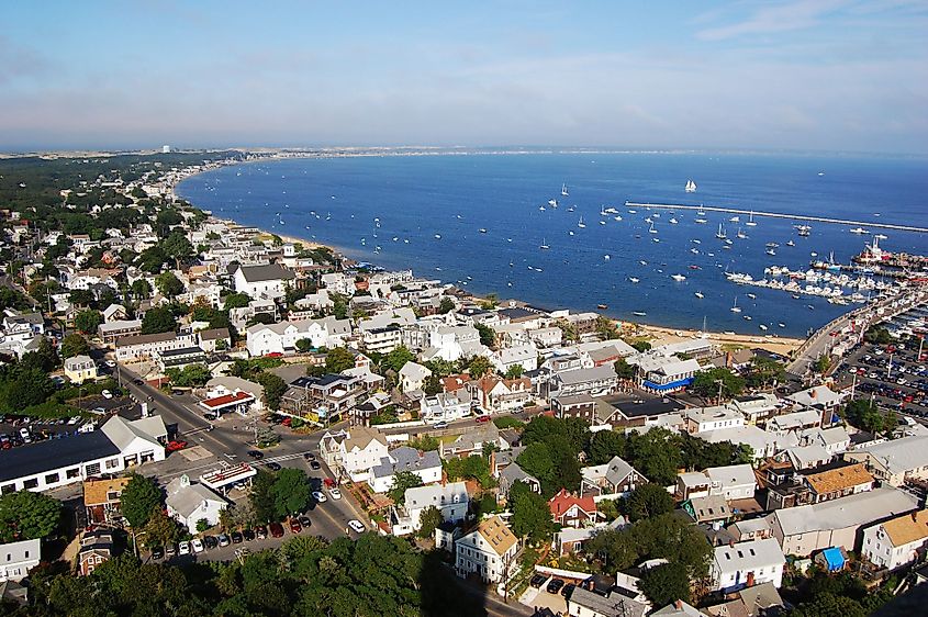
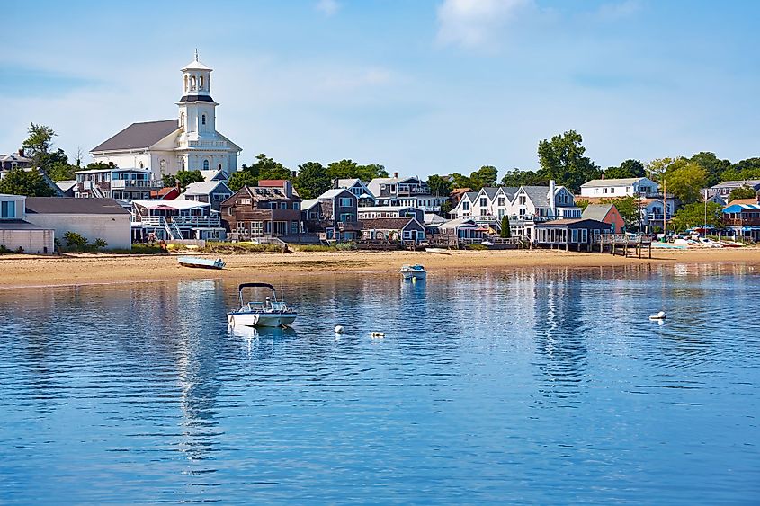
Cape Cod covers more than 640km of shoreline and has a breadth between 1.6km to 32.2km. Cape Cod extends from the New England town of Provincetown in the northeast to the census-designated place of Woods Hole in the southwest and is bordered by the town of Plymouth in the northwest. Cape Cod is surrounded by Cape Cod Bay in the north and west, Buzzards Bay in the west, Elizabeth Islands in the southwest, Martha’s Vineyard, Nantucket Island, and the Nantucket Sound in the south. The 28km long Cape Cod Canal separates the Cape Cod Peninsula from the mainland.

Cape Cod includes a significant portion of the Barnstable County and is made up of 15 towns divided between the three sections of Cape Cod. The Upper Cape section consists of the towns of Bourne, Falmouth, Mashpee, and Sandwich. The Mid-Cape section consists of the towns of Barnstable, Dennis, and Yarmouth. The Lower Cape & Outer Cape section includes the towns of Brewster, Chatham, Eastham, Harwich, Orleans, Provincetown, Truro, and Wellfleet. Each of these towns are further divided into several villages. Located in the town of Bourne, Pine Hill is considered as the highest point in Cape Cod and in the Barnstable County, which rises to an elevation of 93m.

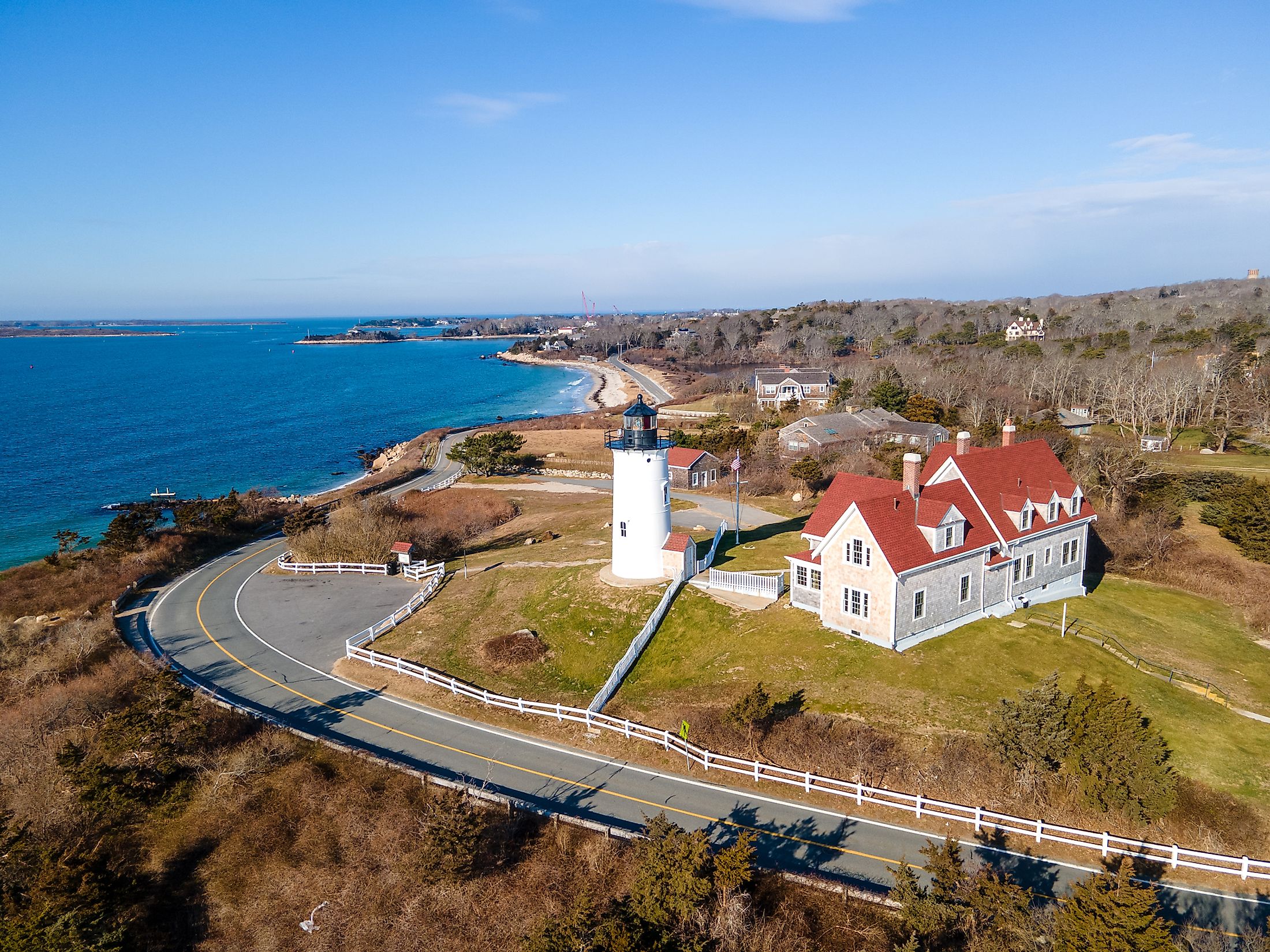
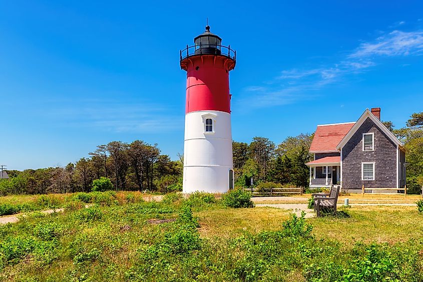
There are about 60 public beaches in Cape Cod, and the Cape Cod National Seashore contains many walking paths as well as about 64km of sandy beach. Cape Cod also offers its visitors several outdoor recreational activities, such as beach walking, fishing, boating, kayaking, golfing, etc. To aid in navigation, many lighthouses, including Nobska Light, Wing’s Neck Light, Hyannis Harbor Light, Bishop and Clerks Light, Monomoy Point Light, Stage Harbor Light, etc., have also been erected in Cape Cod.
Geology Of Cape Cod

Geological studies have revealed that a significant part of Cape Cod contains several glacial landforms that are believed to have been formed by terminal moraine and outwash plains. The studies have also revealed that the geology of Cape Cod is relatively young compared to the other parts of the world and is believed to have formed approximately 16,000 to 20,000 years ago. Researchers have estimated that in the late Pleistocene geological era, the advance and retreat of the Laurentide Ice Sheet have shaped the geological history of Cape Cod. As a result of this receding glacier, many kettle ponds have formed on Cape Cod. After the retreating of the massive ice sheets, the sea level began to rise about 3m per millennium in Cape Cod. When the sea level reached high enough, it started eroding the glacial deposits left behind by the retreating ice sheet. Through a process known as longshore drift, these eroded deposits were transported by the water along the Cape’s shoreline.
Climate

The climate of Cape Cod is highly influenced by its proximity to the Atlantic Ocean and by the Labrador Current. The cape experiences a moderate climate compared to that of the mainland, and it is warmed by the ocean waters during winter, while in summer, the cape is cooled by those same waters. The warm season lasts from June to September, with July being the warmest month, having an average high temperature of 25°C and a low temperature of 17.7°C. The cold season lasts from December to March, with January being the coldest month, having an average low temperature of -2.7°C and a high temperature of 3.3°C. The most pleasant temperatures in Cape Cod are during May, June, September, and October. The Cape Cod region faces a tropical cyclone once every five or six years and a hurricane once every eleven or twelve years.
Brief History Of Cape Cod

It is believed that before the Europeans arrived, the Cape Cod region was inhabited by the indigenous Wampanoag for thousands of years. Cape Cod served as a prominent landmark for the early European explorers who visited the area. It is believed that Leif Eiriksson, a Norse explorer from Iceland, was the first to visit the region. However, no evidence of a Norse voyager visiting the Cape Cod region has been found. In 1524, the Italian explorer Giovanni da Verrazzano visited the area. He named the Martha’s Vineyard “Claudia” in honor of Queen Claude of France. The Portuguese explorer Estevao Gomes who visited the region in 1525, renamed Martha’s Vineyard as “Cabo de la Arenas.” In 1602, Cape Cod was named by an English explorer Bartholomew Gosnold. In 1606, the cape’s sand-silted harbors were charted by the French navigator Samuel de Champlain, and the English navigator Henry Hudson landed on its shores in 1609. On November 11, 1620, the Pilgrims first settled at Provincetown. In due course, the fifteen towns of Cape Cod developed slowly. In 1961, the northern and eastern sides of the cape’s hook were designated as Cape Cod National Seashore by US President John F. Kennedy.


