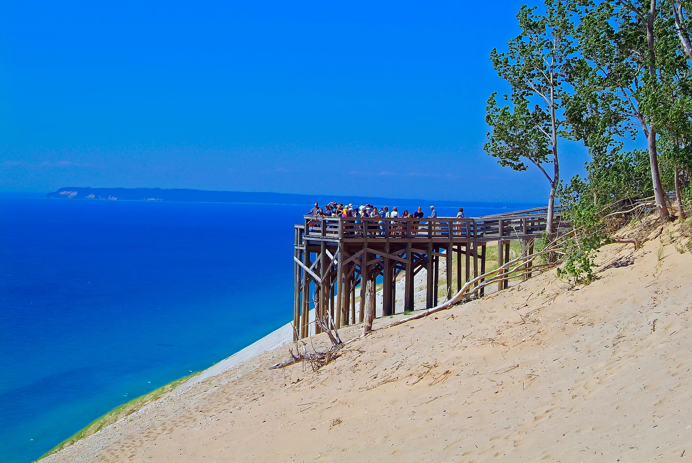
Sleeping Bear Dunes National Lakeshore
Michigan's Lower Peninsula is blessed with enormous stretches of sandy shores. These paradisiacal byproducts of the Pleistocene host well-known summer beach towns but also the largest freshwater dune system in the world. Nowhere are these massive, malleable, and migrating features of Lake Michigan more enthralling than Sleeping Bear Dunes National Lakeshore. This 71,199-acre federal preserve encompasses 65-miles of shoreline, two major islands, a string of historic villages, a surprising range of wildlife and vegetation, scenic drives, Indigenous lore, and loads of joy/sweat-inducing activities. So kick off your shoes, settle in, and learn why the Sleeping Bear Dunes should eclipse your 2025 travel hit list.
Geography

Sleeping Bear Dunes National Lakeshore is amassed in a long, thin, not-quite-congruous manner. This scenic, historic, and ecologically-valuable section of the northwestern portion of Michigan's Lower Peninsula is composed of authorized parkland, wilderness areas, and minor settlements tastefully dotted along the shoreline. The southernmost reaches begin just north of Crystal Lake (i.e. a fair-sized inland freshwater lake) before proceeding up through Lake Michigan's Platte Bay, to the scenic village of Empire (where it takes a brief intermission), before wrapping all the way around the west side of Glen Lake to Glen Arbor Township. From there, it follows the contours of Sleeping Bear Bay through to Port Oneida, Pyramid Point, and finally, to the first half of Good Harbor Bay.
On the opposing side of Manitou Passage, the 22.3 square-mile North Manitou Island, and 8.3 square-mile South Manitou Island constitute a significant portion of Sleeping Bear Dunes' boundary. Both of these islands can be reached from the community of Leeland via a seasonal ferry.
The closest major city to Sleeping Bear is that of Traverse City. A mere 25-mile westbound drive along Traverse Highway (i.e. M-72), brings fresh-faced visitors to Empire's Philip A. Hart Visitor Center. This is a sensible place to start the adventure, since passes can be purchased here, and maps/tips can be acquired from the friendly National Park Service staff.
Nature
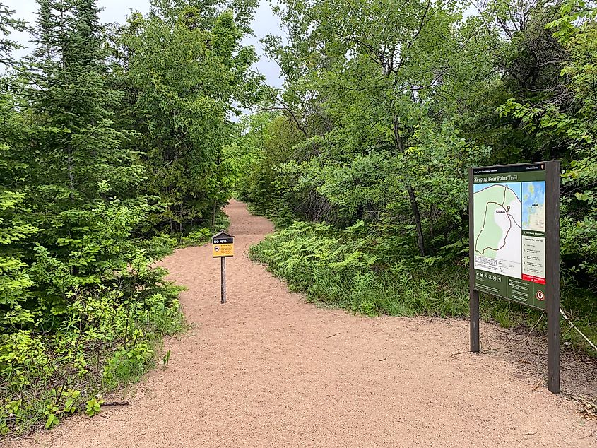
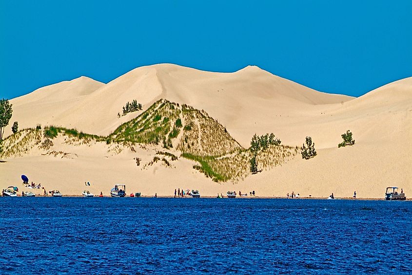
Sleeping Bear Dunes National Lakeshore represents a significant portion of western Michigan's 275,000-acre/dune system - the largest collection of freshwater dunes in the world. Four types of sand dunes can be found here:
- Beach Dunes: The quintessential lakeshore formations. This is the most common class of sand dune along Michigan's western shore (which is to say, Lake Michigan's eastern shore).
- Perched Dunes: Found at the Sleeping Bear Plateau (i.e. the site of the beloved Dune Climb), Empire Bluffs, Pyramid Point, and the west coast of South Manitou Island, perched dunes are the largest entities of the entire lakeshore (the tallest being 450 feet). This type of dune forms when a superficial layer of sand is blown over a glacial moraine (more on this in a moment).
- Falling Dunes: Falling dunes occur when sand atop perched dunes shifts off the plateau and onto an adjoining lowland area.
- De-Perched: Once a falling dune has grown substantially, thereby supplanting a once-perched dune in the process, it can be (informally) classified as "de-perched."
All this talk of sand may give a false impression about Sleep Bear Dunes' ecological viability. In actuality, thanks to its abundant freshwater sources, this area is rather abundant. After all, along with its proximity to one of the Great Lakes, this national lakeshore includes 26 inland lakes (some of which are designated as "Outstanding State Water Resources") and 500 acres of interdunal wetlands, marshes, and bogs - all fed by 12 miles of rivers and streams, as well as springs and seeps. These, in turn, support northern hardwood, pine, and boreal forests. Due to extensive logging in the past, most are secondary growth, but a small grove of 400-500-year-old giant northern white cedars still exists on South Manitou Island.
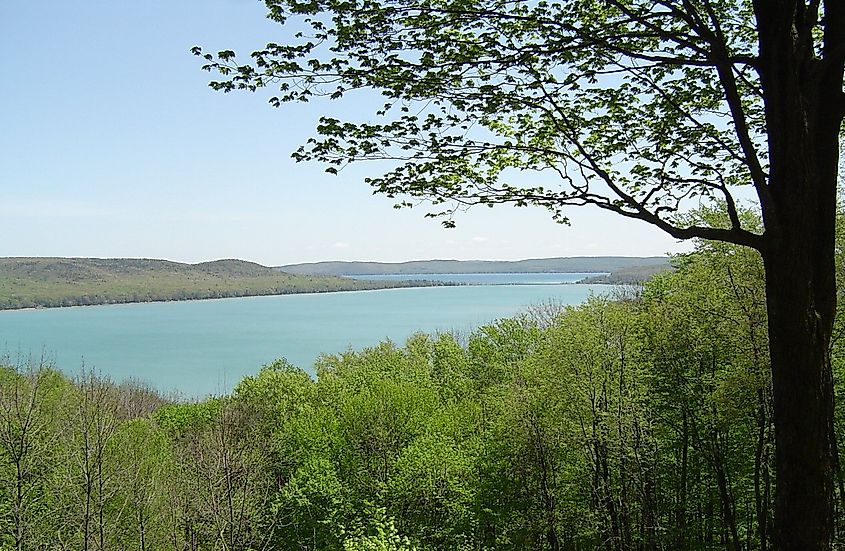
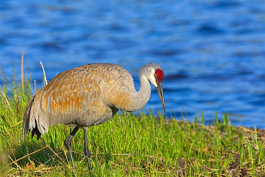
The various freshwater sources also provide nesting areas for waterfowl, breeding grounds for amphibians, feeding areas for birds of all sorts, reptiles, and many small mammals, and a safe haven for rare plants and other vital vegetation. Lake Michigan's beaches, in conjunction with being the major tourist draw, also provide essential breeding and hunting grounds for shorebirds (including bald eagles and the endangered piping plover). To date, over 240 species of birds have been cataloged along Sleeping Bear Dunes National Lakeshore. So, you birders, be sure to grab a checklist at the visitor center.
Even the dunes themselves are far from barren. Dune grasses can be seen in large swaths across the landscape. These not only punctuate the aesthetic, but stabilize the ever-shifting landforms. Additionally, the threatened, globally-rare Pitcher's thistle thrives throughout Sleeping Bear's windblown, undulating sands.
History
Natural Forces
Western Michigan's unique lakeshore was sculpted gradually by the incorrigible forces of ice, wind, and water. During the last Ice Age (i.e. Pleistocene), the Continental Ice Sheet advanced (and retreated at times) over the majority of northern North America - in some places growing to over one-mile high. In the process, these formidable walls of not just ice, but debris of all sorts, eroded existing river valleys into basins that would become the Great Lakes. At times when the glacial advance was matched by the rate of summer melting, ridges of debris were deposited into the moraines that give Sleeping Bear its dynamic shape. The massive amounts of sand are also a result of this highly-erosive geological epoch.
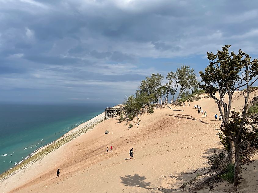
When the Wisconsin glacier finally melted (roughly 11,000 years ago), some of the largest lakes in the world were left behind. Lake Michigan's waves naturally sorted the fine and coarse particles they encountered, which resulted in the exceptional sandy shorelines. From there, stiff winds took care of the rest. Sleeping Bear Dunes National Lakeshore continues to be reshaped by many of these same elements. In fact, one of its premier features, the Dune Climb, shifts by an estimated four feet per year.
Indigenous Influence
Archeological evidence shows that prehistoric hunter-gatherers (i.e., the ancestors of the Anishinaabek Culture) set up seasonal camps along what we now call Sleeping Bear Dunes National Lakeshore. For thousands of years, they benefited from the food, shelter, and plant medicine provided by this region. And while we now have a scientific understanding of how the lakes, dunes, and corresponding islands formed, the Anishinaabek developed their own living legend that not only gives Sleeping Bear its name but adds cultural significance.
The Story:
A mother bear and her two cubs who, either driven by forest fire or desperate hunger (multiple versions exist), abandoned Wisconsin's shore and swam toward western Michigan. Just ten miles from land, the two cubs sank beneath the water due to exhaustion. The grief-stricken mother continued ashore and plunked down atop the dominant bluff to look out over the Lake. Soon after, the Great Spirit created the two Manitou Islands to memorialize the lost cubs. And so the mother bear still lies atop the bluff (which, though the sands of time have since changed its shape, was named the Mother Bear), watching over her children.
European Presence
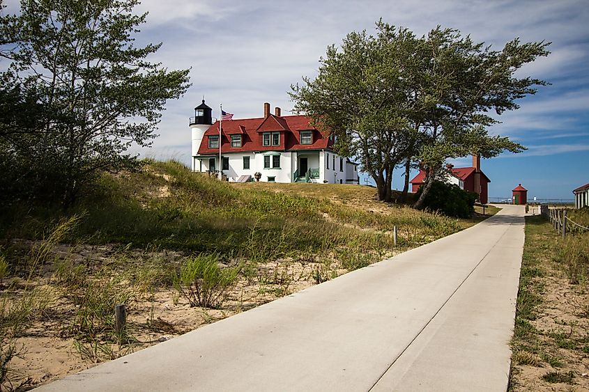
Europeans first settled the Manitou Islands in the mid-1800s before shifting onto the mainland soon after. The lifestyle and aesthetic of these early immigrant families can be appreciated by visiting the Port Oneida Rural Historic District and Glen Haven Historic Village. Glen Haven supported the lumber, agriculture, and tourism industries - some of Michigan's main economic arms at the time. David Henry Day played a pivotal role in developing the region, as he helped promote sustainable forestry and tourism. Port Oneida (i.e., the largest publicly-owned historic agriculture landscape) was primarily settled by German and Prussian immigrants in the 1860s but dwindled by the 1890s because of excessive logging and poor soil conditions.
Shipwrecks
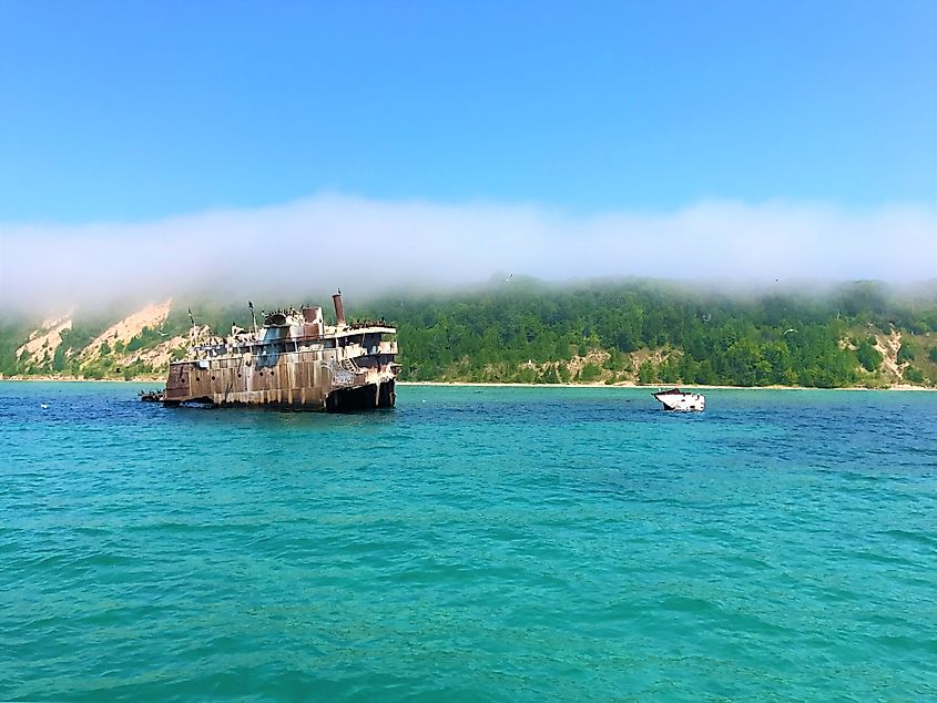
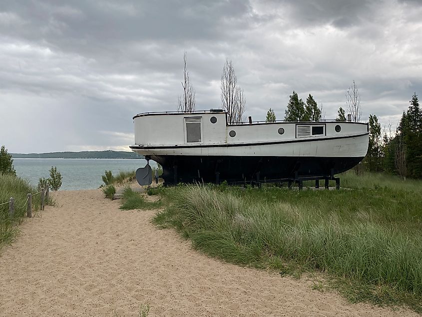
Due to frequent shipwrecks along the Manitou Passage (aka the "Treacherous Passage), three lighthouses were erected: the South Manitou Lighthouse (1839), North Manitou Lighthouse (1896), and North Shoal Light (1935). As an added measure, the US Life-Saving Service (USLSS) was formed in 1871. From its inception through to 1915 (when the agency, in conjunction with the US Revenue Cutter Service, became the US Coast Guard), teams rescued over 178,000 people from shipwrecks. Check out the Sleeping Bear Point US Life-Saving Service Station Maritime Museum (near Glen Haven) to learn more.
Evolution of the Lakeshore
Thanks to the efforts of U.S. Senator Philip A. Hart (whom the visitor center is named after), Sleeping Bear Dunes was designated as a National Lakeshore on October 21st, 1970. As a national lakeshore, it falls under the banner and management of the National Parks Service. Then, in 2014, 32,500 of its 71,199 acres were designated as "wilderness" under the 1964 Wilderness Act, thereby affording added conservational assets to these sections. Sleeping Bear now welcomes 1.6 million (year-round) annual visitors. On that note, let's take a closer look at what there is to do across all four seasons.
Attractions
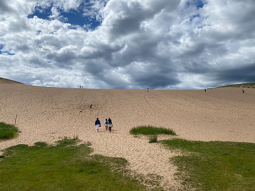
Scenic drives, 100+ miles of hikes, strenuous dune ascents (and exhilarating descents), exceptional stargazing, fishing/hunting, and camping are available to all Sleeping Bear Dunes visitors throughout the year. In the summer, swimming, sunbathing, and boating/paddling are other enticing pastimes. Come winter (i.e. mid-Nov to late March) the park hosts a mix of groomed and ungroomed (but still marked) cross-country ski/snowshoe trails. Families can also bust out their sleds and race down partitioned parts of the Dune Climb. Basically, there's no wrong time or fashion in which to enjoy this national lakeshore. With that said, here are a few specific highlights to aim for.
Empire
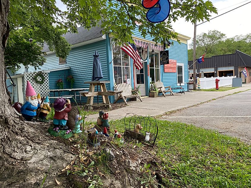
This laid-back community is home to the Philip A. Hart Visitor Center. Take a second to get informed on the park, then stroll the streets, explore the art galleries and artisanal shops, and grab a bite to eat so that you have plenty of energy for the adventure ahead.
Empire Bluff Trail
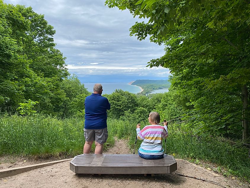
This 1.5-mile (round-trip) trail leads through a beech-maple forest to a stunning bluff overlooking Lake Michigan. It's a great way to shake off any stiffness from the drive in, to appreciate the various ecosystems of the park, and to tease more highlights further up the road.
Pierce Stocking Scenic Drive
This 7.4-mile off-shoot of Leelanau Highway (Hwy 22) was unfortunately closed for construction when I rolled through last June, but it certainly looks and sounds like a star attraction. There are 12 points of interest along the way, including overlooks of Lake Michigan, Glen Lake, and the Sleeping Bear Dune Complex, as well as an old-timey covered bridge, forest immersions, and another 1.5-mile hike (Cottonwood Trail).
Dune Climb
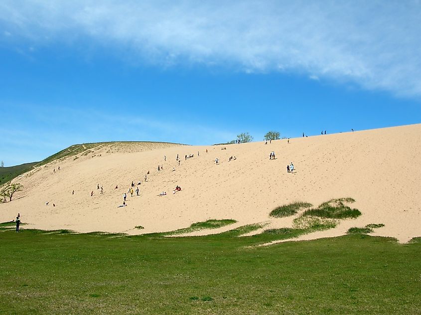
This 284-foot perched dune resides off of the Dune Highway (M-109), just off of Glen Lake's western arm and five miles north of Empire. Getting to the top is one heck of a grind, but because of the potential vantage point and general allure of the sandy mountain, there's no shortage of willing souls. The adjacent Dune Center, with its restrooms, bookstore, gift shop, and knowledgeable staff, acts as a sort of secondary visitor center.
Manitou Islands
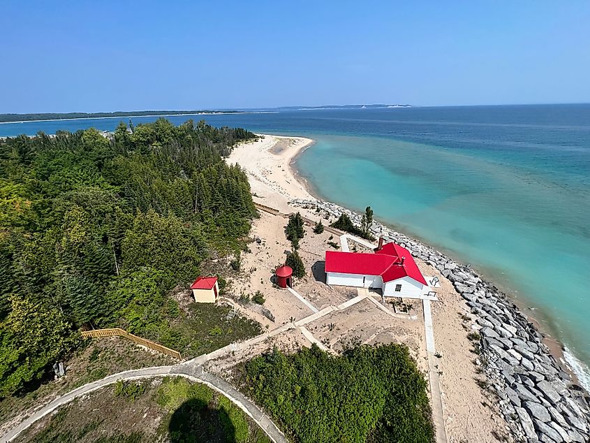
Both the North and South Manitou Islands are intentionally undeveloped. So anyone fleeing the mainland can, therefore, enjoy solitudinous hikes and self-supported camping at designated sites. Seasonal ferries operate out of Leland.
Glen Haven Historic Village
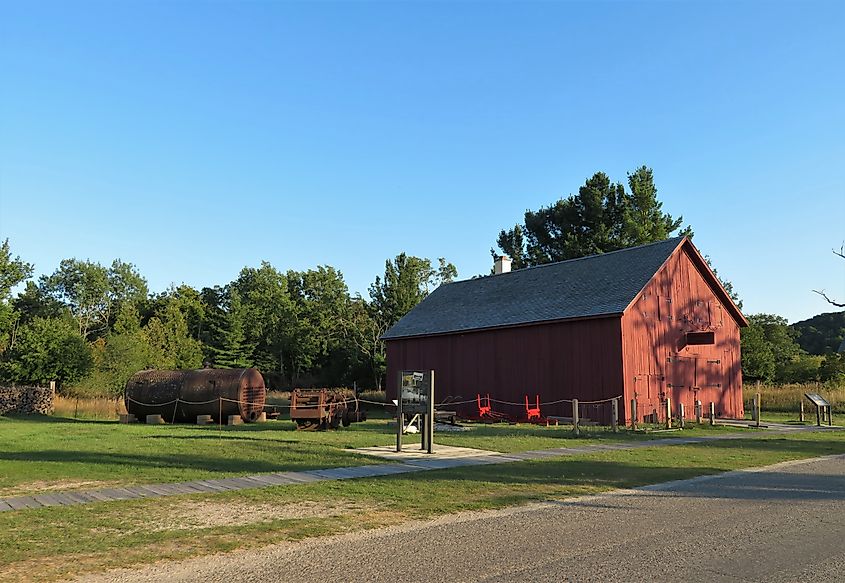
This sleepy village is the perfect compliment to the Sleeping Bear Dune. Peruse the preserved historic buildings, visit the maritime museum, and hike out to Glen Haven Beach where the national lakeshore's namesake feature looms.
See You At Sleeping Bear
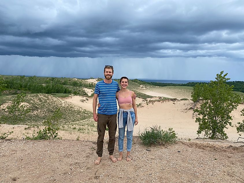
Michigan is inundated with natural attractions. There are four Great Lakes shared between its two major peninsulas, enormous stretches of dense forests, beaches for days, and the world's foremost stretch of freshwater sand dunes. All of these (at least in part) can be experienced across Sleeping Bear Dunes National Lakeshore. So if you're on the Lower Peninsula and craving an escape from the beach-town crowds in the southwest or a reprieve from the major highways and cities in the southeast, head north to the ancient, mythical, and generally-overlooked Sleeping Bear dune system.


