Maps of Massachusetts

Massachusetts is a state in the United States' northeastern region, in a region that is nicknamed "New England." It occupies 10,565 mi² and borders four other states: Connecticut to the south, Rhode Island to the east, New Hampshire to the north, and Vermont to the northwest.
The geography of Massachusetts is varied and diverse. It extends from coastal lowlands on its Atlantic Ocean coast through rolling hills and forests in the state's central part and ends at rugged peaks of the Berkshires mountain range in Western Massachusetts. Most of Massachusetts has moderate hills, valleys, and rolling terrain.
The state’s jagged, and rockbound Atlantic Ocean coastline is a mixture of bays, inlets, sandy beaches, and odd-shaped islands – that all end in granite cliffs in the state’s far northern part. The coastline and its offshore islands are all remnants of the last Ice Age. The arm-shaped Cape Cod National Seashore, situated in the extreme southeastern part of the state, is a constantly shifting mass of dunes, which are battered relentlessly by the currents of the Atlantic Ocean. To the south of Cape Cod are the islands of Martha’s Vineyard and Nantucket.
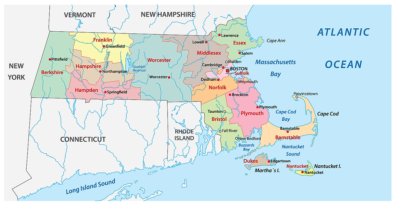
As observed on the map, the eastern part of Massachusetts is mostly flat and is comprised of low hills, small lakes, streams, and rivers. From the Boston area, the land rises gently into wooded, rolling hills, that are broken in the state’s central part by the Connecticut River Valley. In the far western part, the Appalachian Mountains stretch across the state into Vermont and New Hampshire. Significant mountains include the Berkshire Hills and the Taconic Mountain Range. Situated in the northwestern corner of the state, the state’s highest point is Mount Greylock -which rises to an elevation of 3,489ft. The state’s lowest point is at the Atlantic Ocean (0ft). Other notable mountains include Saddle Ball Mountain, Mount Fitch, and Mount Williams.
The most significant bodies of water that define Massachusetts' boundaries are Long Island Sound along its southwestern edge and Cape Cod Bay along its southeastern edge. The two major rivers that flow through Massachusetts are the Connecticut River which runs along its western border with New Hampshire and Vermont, and the Merrimack River, which flows into Long Island Sound near Boston Harbor.
Massachusetts also has numerous lakes. Notable bodies include Quabbin Reservoir, one of the largest artificial reservoirs formed by flooding four towns - Dana, Enfield, Greenwich, and Prescott - back in 1938 after damming Swift River. Additionally, Wachusett Reservoir, Lake Chaubunagungamaug, Onota Lake, and Sampson Pond contribute to Massachusetts' hydrological makeup.
Counties Map

The State of Massachusetts is divided into 14 counties. In alphabetical order, these counties are: Barnstable, Berkshire, Bristol, Dukes, Essex, Franklin, Hampden, Hampshire, Middlesex, Nantucket, Norfolk, Plymouth, Suffolk, and Worcester.
With an area of 27,337 sq. km, Massachusetts is the 7th smallest state in the USA and the most populated state in the New England region. Located onshore of the Atlantic Ocean is Boston – the capital, the largest and the most populous city in Massachusetts and of the larger New England region. It serves as the cultural, economic, IT, biotech, commercial, and financial hub of the state and also as an international educational center. Boston is also one of the oldest and the costliest cities in the United States.
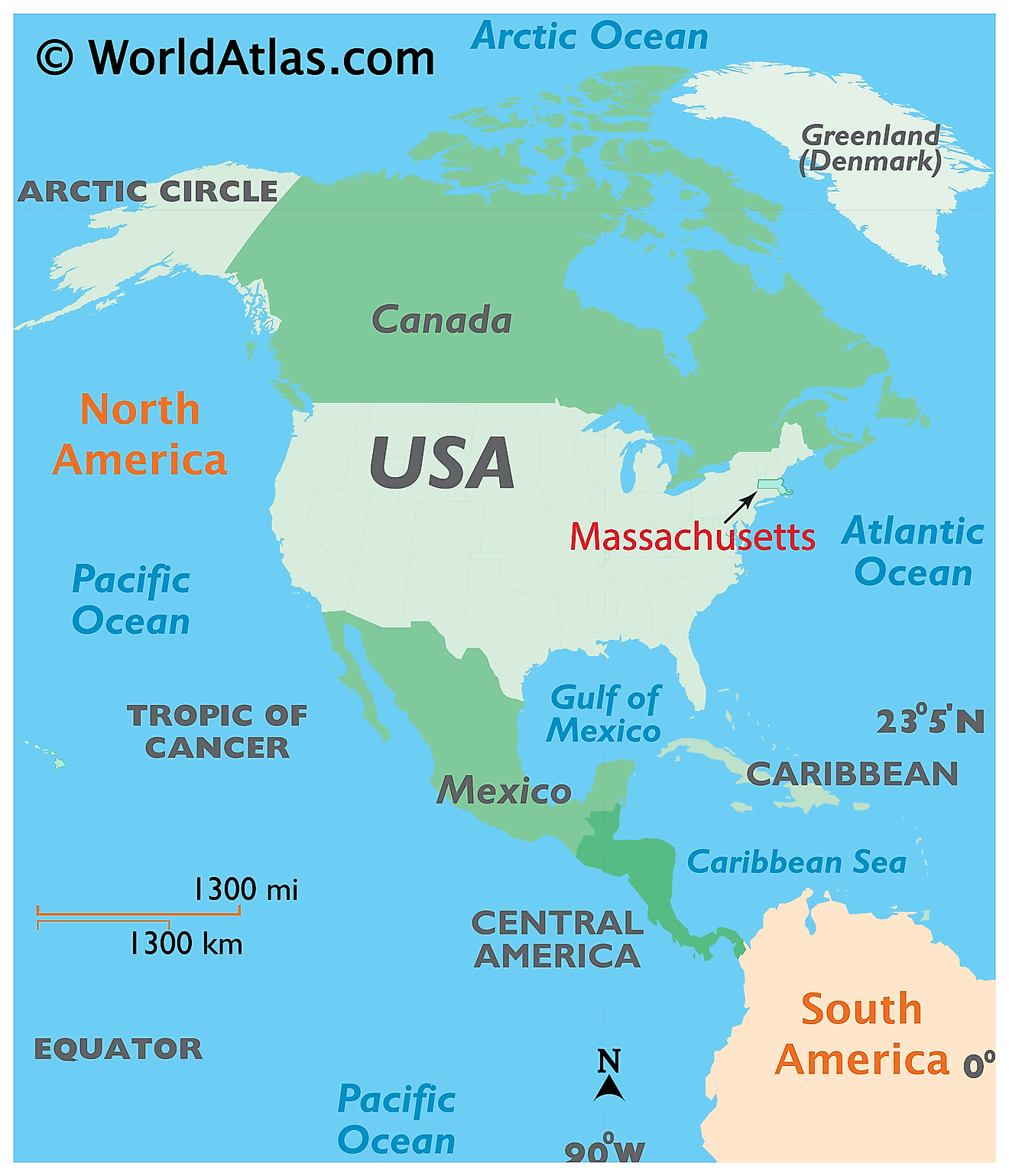
Where is Massachusetts?

The state of Massachusetts is located in the northeastern (New England) region of the United States. Massachusetts is bordered by the states of New York in the west; by Vermont and New Hampshire in the north; and by Rhode Island and Connecticut in the south. It is also bounded by the Atlantic Ocean in the east and southeast.
Regional Maps: Map of North America
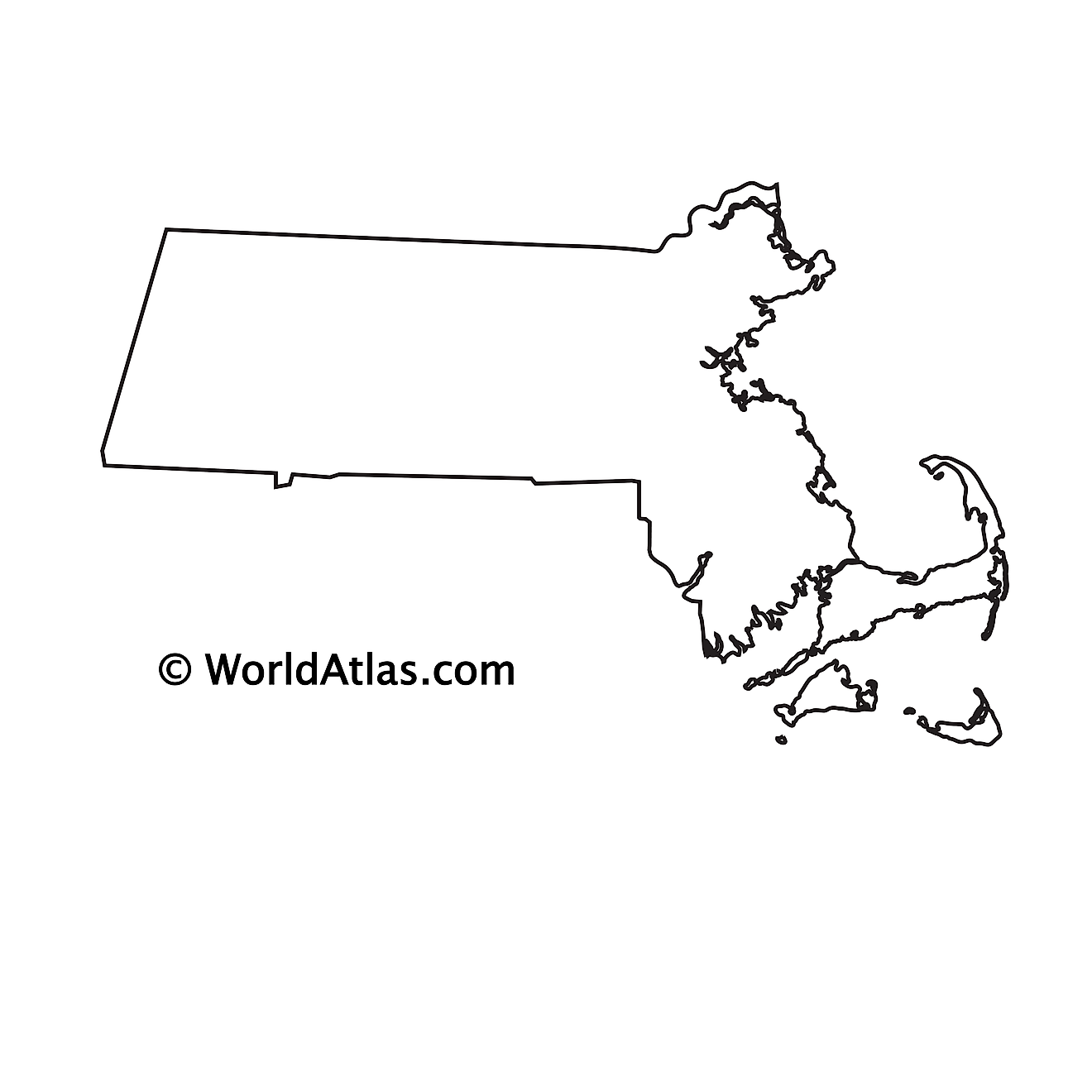
Outline Map of Massachusetts

The above blank map represents the state of Massachusetts, located in the northeastern (New England) region of the United States.

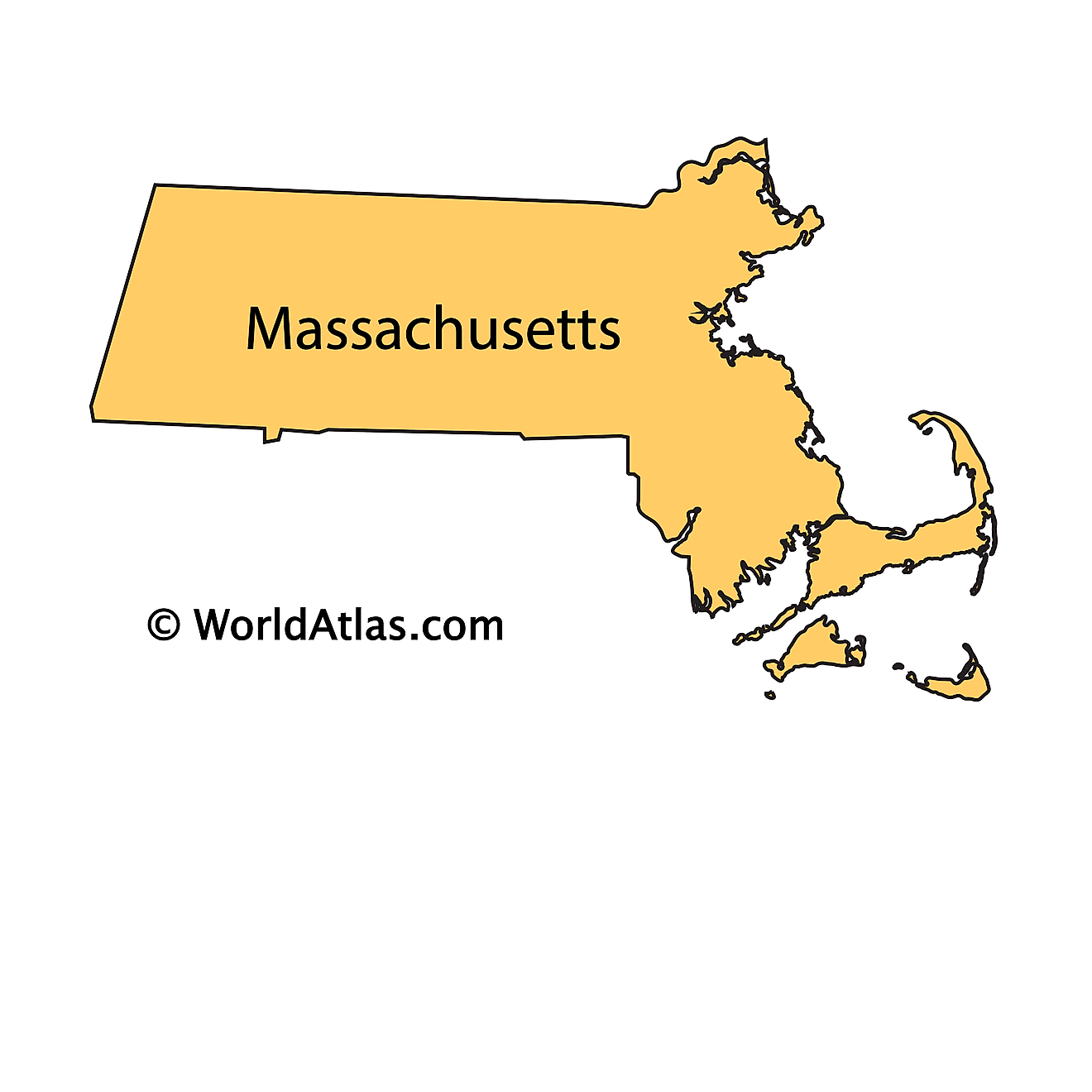
The above outline map represents the state of Massachusetts, located in the northeastern (New England) region of the United States. Massachusetts has been nicknamed as "The Bay State".
Key Facts
| Legal Name | State of Massachusetts |
|---|---|
| ISO 3166 Code | US-MA |
| Capital City | Boston |
| Major Cities |
|
This page was last updated on March 13, 2023


