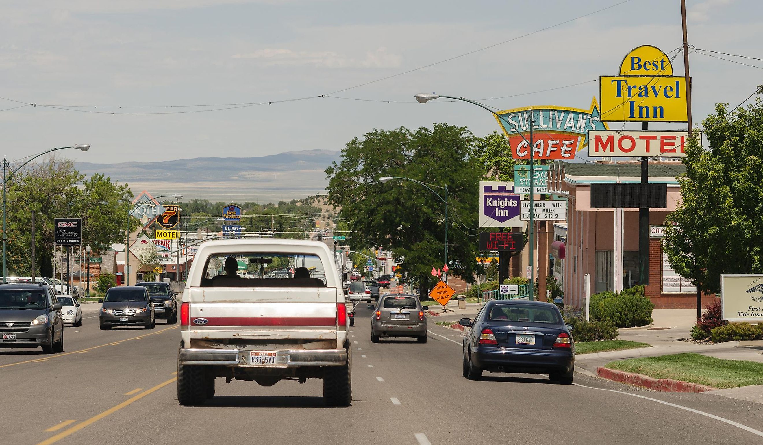
8 Most Scenic Drives in Utah
Let me know if I used the word travelers too much! I was seeing it as like when I'm writing seniors articles and you use the word 'retiree' or 'senior' as much as possible, but if it feels too much send it back and I'll find some other keywords. Thank you!
The jaw-dropping state of Utah is home to some of the country's most expansive, unique, and adventurous National Parks, as well as a long list of scenic byways, winding mountain roads, and overlooks. From the Zion, Canyonlands, and Arches National Parks to the Uinta-Wasatch-Cache and Dixie National Forests, Utah has no shortage of outdoor wonders to explore. Many of these sights are accessible by car, providing travelers with endless itineraries for an afternoon drive, a weekend getaway, or a lets-see-where-it-goes expedition.
La Verkin to Orderville
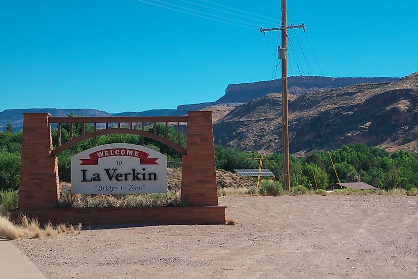
The drive between the town of La Verkin to the town of Orderville takes you past the magnificent Zion National Park as it passes through the area of Springdale. Taking only just over an hour one way, this afternoon drive is perfect for those wanting to see some of the breathtaking views Zion has to offer, as well as stop at the unique heritage areas along the route.
As you head along UT-9, you will come upon the Grafton Ghost Town, just outside Rockville. Here, you can wander the cemetery, homes of past residents, and the schoolhouse. As you continue on your journey, you'll arrive in Springdale, which is full of themed restaurants, hotels, and adventure opportunities such as helicopter tours, backpacking expeditions, and galleries. Hungry travelers can sit down for a bite to eat at the Zion Canyon Brew Pub, right along the Virgin River.
Further along the highway, you'll come across some of Zion's fabulous features, such as the Zion-Mt. Carmel Tunnel and Keyhole Canyon. There are also plenty of viewpoints to pull over at, including the Checkerboard Mesa.
Huntsville to Woodruff
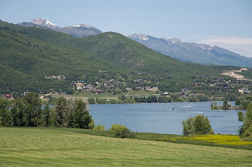
The scenic highway that runs between Huntsville and Woodruff is only open in the warmer months due to the mountainous climate and harsher winter road conditions. But when the weather gets better, it's a drive you won't want to miss.
Travelers will take UT-39 toward Cache National Forest. This stunning area is only a small portion of the Uinta-Wasatch-Cache National Forest, which extends all the way into Wyoming. The Monte Cristo Scenic Overlook provides expansive views of the valley and the mountains surrounding you, with nearby hiking trails for your enjoyment.
The Monte Cristo Campground is open from the end of June to the beginning of September, and offers you an escape into nature, with chances for biking, wildlife viewing, and photography. The drive itself takes around two hours between the two towns.
Vernal to Manila
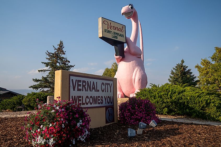
The drive from the town of Vernal to Manila along the Wyoming border takes about an hour and fifteen minutes as you travel along US Hwy 191.
Not far into the drive, you'll pass by Steinaker State Park and the Steinaker Reservoir, then continue up to Red Fleet State Park. Further up is Red Canyon and Flaming Gorge, which gives you the option to head to Dutch John, which features resorts, campgrounds, and marinas along the Green River. Or you can choose to still head to Manila, taking the UT-44 as it passes by the Greendale Overlook.
As you come into Manila, you'll be greeted with different accommodation options, as well as the Flaming Gorge Brewing Company and Flaming Gorge Restaurant, for some refueling. The area around Manila is a popular spot for camping along the river, which offers travelers opportunities for fishing, boating, and water sports.
Moab Loop Around Arches National Park
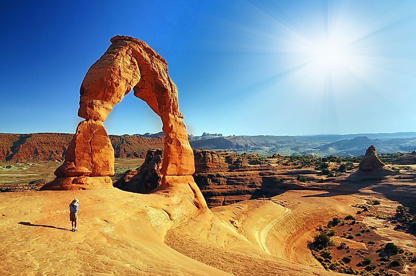
This loop will take you around the stunning Arches National Park, with a starting and returning point set in the town of Moab, near the park entrance. The total drive, without stopping, will also only take about an hour and a half. Travelers will journey alongside the Colorado River as it flows beside UT-128. Here, you'll find the Big Bend Bouldering Area, where experienced climbers or adrenaline junkies can take part in rock climbing, or it can be a rest stop, with the Big Bend Campground and Upper Big Bend Camping Area right on the river.
If your stomach starts to rumble, pull into the Sorrel River Ranch Resort, about halfway between Moab and Dewey. River Grill Restaurant has a patio that overlooks the Colorado River as well as the National Park's red rock formations and mountains.
After passing Dewey, the road will join up with Interstate 70, which will flow into Crescent Junction, a resting area and a chance to fill up on gas. From there, U.S. Hwy 191 will head back down towards Moab, with opportunities to pull over and experience the Copper Ridge Dinosaur Trackway and the Mill Canyon Dinosaur Track site. You will then have the option to call it a day and reenter Moab or take the road up into Arches National Park for even more sightseeing and adventure.
Cedar City to Panguitch Lake
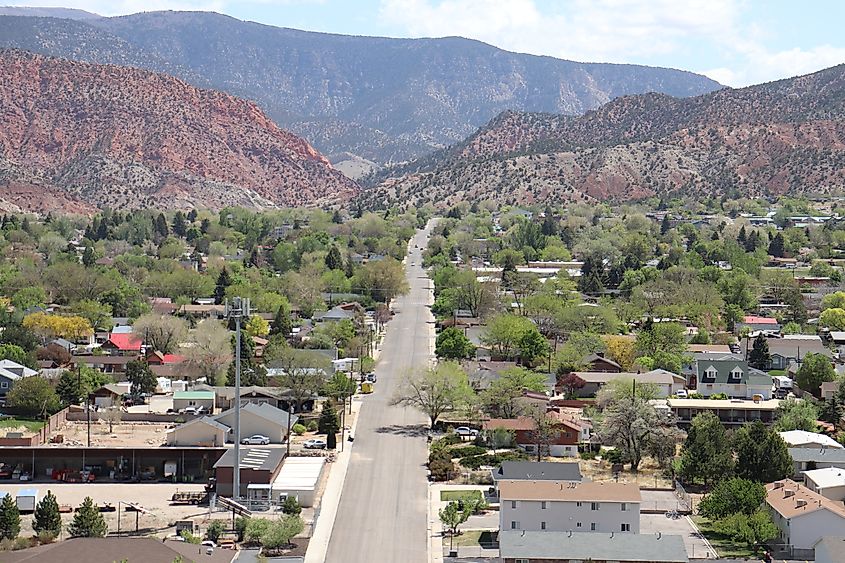
Much like the Huntsville to Woodruff Scenic Drive, the road between Cedar City and Panguitch Lake faces closures during the winter due to its higher elevation and unpredictable weather. But in the summer, it is an absolute pleasure to drive, taking about an hour to the Panguith Lake Resort or an hour and a half if you were hoping to journey to the town of Panguith. This drive will take you through Dixie National Forest
Cedar Canyon Road will take you out of Cedar City, passing by stopping areas like the Ashdown Gorge Trailhead, Wood Ranch Park, and the Zion Overlook. The road will eventually intersect with UT-148, the portion that is closed from November to May. This scenic highway is more rugged and features the Cedar Breaks National Monument and plenty of chances for hiking. But there is another option for Panguith, and that's to continue along Cedar Canyon Rd towards Duck Creek Village. Navajo Lake Scenic Viewpoint is a wonderful place to stretch your legs, or you can pull into Duck Creek, which is home to gas stations, restaurants, and hotels. Duck Creek is also where you will turn up Mammoth Creek Rd towards Panguitch Lake. Bowers Caves and Mammoth Cave are along this route, and eventually, you will happen upon UT-143.
By this point, you are pretty much there. Panguitch Lake is only ten more minutes away. Weary travelers can stay at the resort or in one of the campgrounds. The lake is known for its giant rainbow trout, as well as its pristine boating and canoeing conditions.
Payson to Nephi
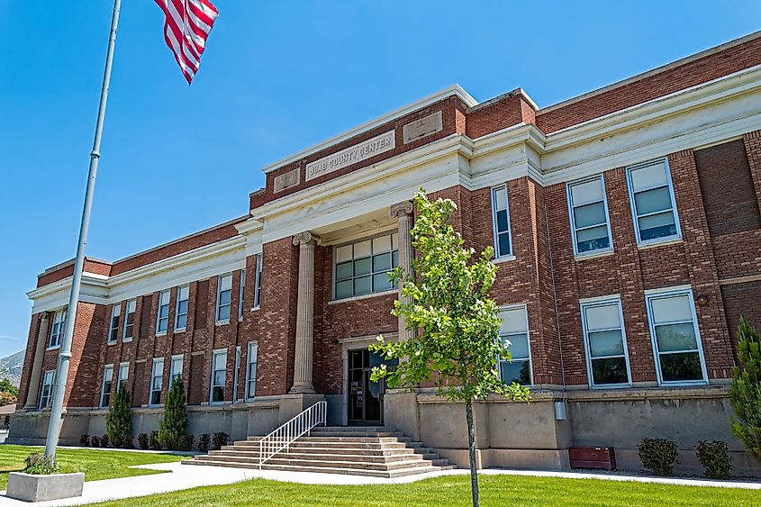
The journey between Payson and Nephi can be done in two ways: the quick, half-hour way down Interstate 15 or by Nepo Loop Road, a national scenic byway. The byway passes through Uinta National Forest, takes about an hour and a half, and is closed in the winter due to high elevations and less-than-ideal conditions.
By taking Nepo Load Rd, you will have the chance to stumble upon winding trails like Forebay, Grotto Falls, and Bear Trap Ridge, as well as campgrounds surrounded by uninterrupted nature. Maple Bench Campground, as well as Maple Lake Campground, offer travelers a perfect escape from city life, where one can look up at the stars, and hear nothing but the sounds of wildlife and the wind.
Those hoping to make the trip in one day can stop for a rest at the Payson Lakes Picnic Area or at the Utah Valley overlooks. There is also the Mount Nebo Overlook and Devils Kitchen is a viewpoint directed at a unique rock formation.
Mapleton to Helper
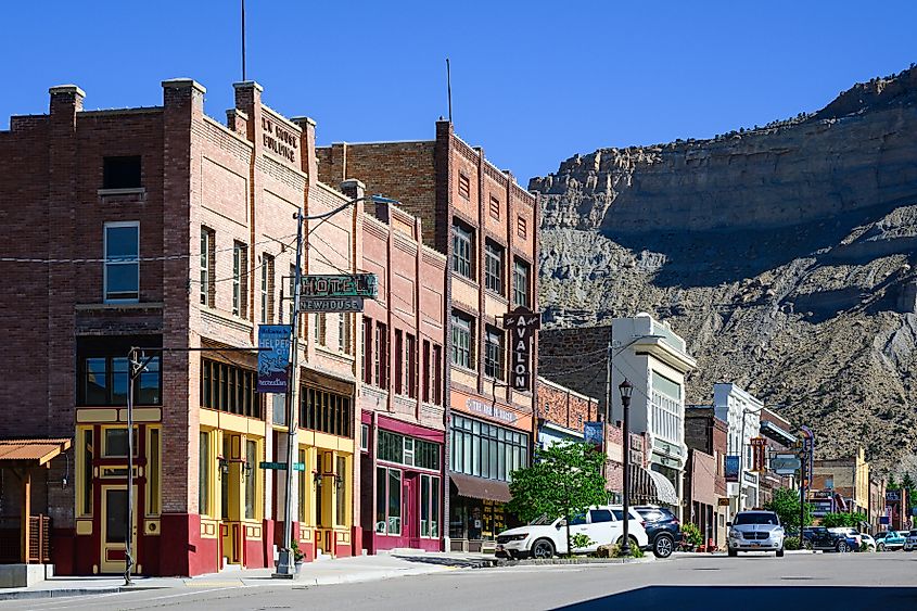
The area of Mapleton, just outside the city of Provo, is the entry point to the Grand Army of the Republic Highway route that leads you to the town of Helper.
First, you will pass by Covered Bridge Canyon, then continue on alongside the Spanish Fork River. About twenty minutes in, you will have the opportunity to stop at the Open Cave Formation. Half an hour into your drive is the Tie Fork Rest Area, which features restrooms as well as a small train museum with indoor and outdoor exhibits.
Further along is the Ford Creek Waterfall, with plenty of photo ops, as well as another chance to use the restroom. The Price Canyon Recreation Area is also nearby and has picnic tables, nature trails, and first come first serve camp stalls. From here, Helper is only another ten minutes away. The entire drive only takes about an hour, but a portion of the attractions and rest stops are only open during the warmer months.
Fairview to Huntington
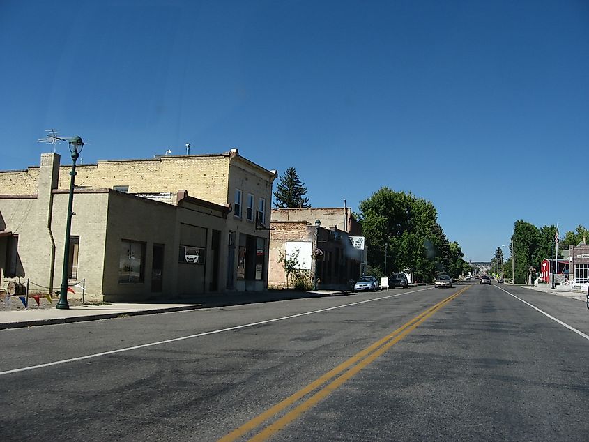
The drive between Fairview and Huntington takes about an hour as you travel along UT-31. Short and sweet, this picturesque road is surrounded by mountain views and accesses over a dozen campgrounds.
The first stop is the Huntington Mammoth Site, located on the Huntington Reservoir. It's the perfect place to read about the area's mammoth history, as well as stroll around the water's edge. The nearby Lake Canyon Rec Area offers a campground, and for those wanting to sleep near the beach, the Cleveland Reservoir Campground is next door. Other campgrounds include Forks of Huntington, River Bend, and Bear Creek.
This route is a part of The Energy Loop, a Utah scenic byway that goes from Huntington to Helper. Those leaving from Fairview have the opportunity to branch off in either direction, either to Huntington or to Helper.
So whether you're hoping to spend your day off taking in the beauty that is Utah or wanting to spend your summer exploring the vast wilderness at your fingertips, these scenic byways and road systems will have you passing by and stopping to explore places you never knew existed. Families, couples, solo travelers, and tourists from out of state or out of the country will have their share of amazing photos and memories after a drive through Utah's backcountries.


