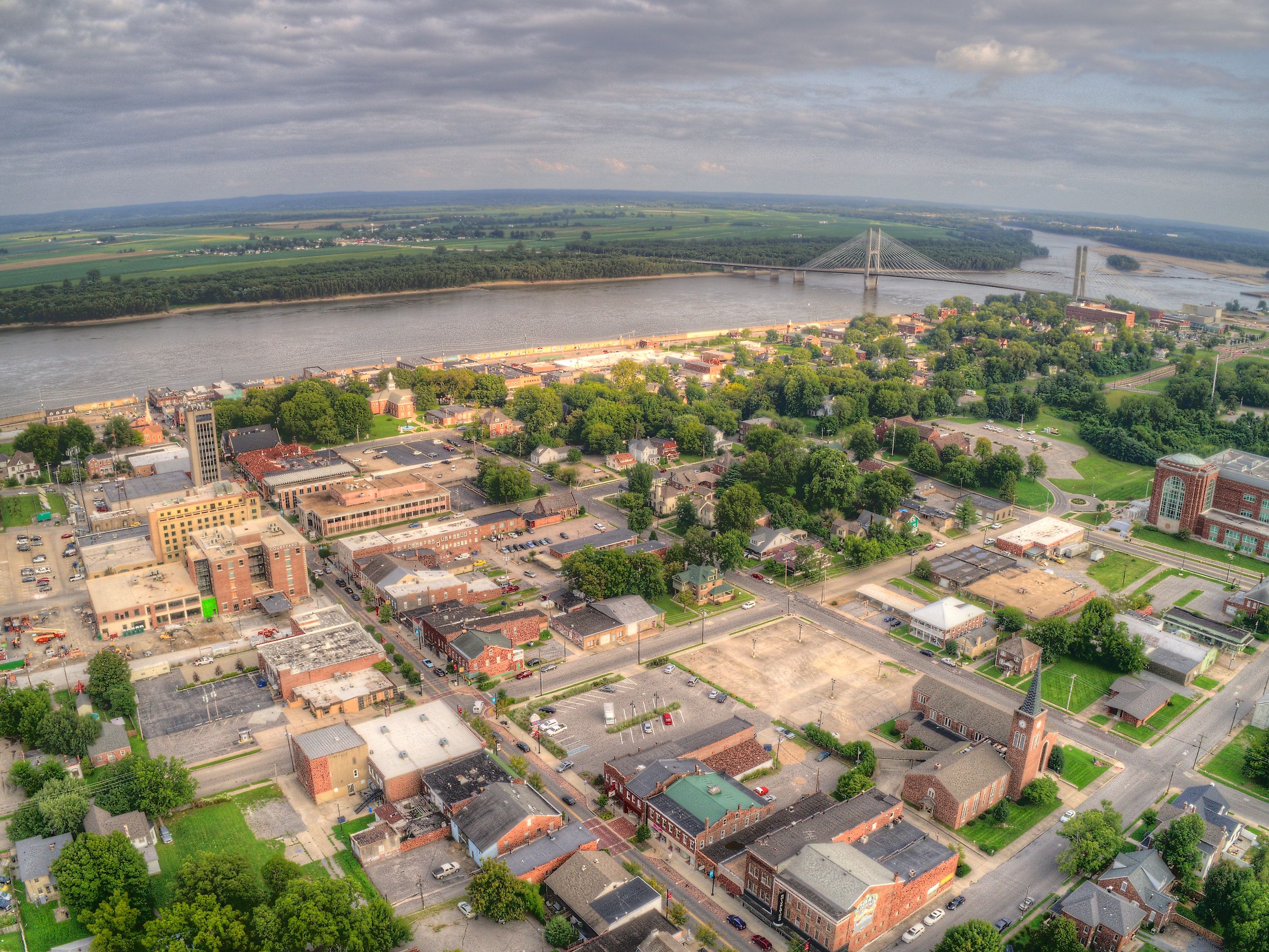
Missouri Bootheel
Missouri is a scenic state in the Midwestern United States named after the Missouri River, the longest river in the United States. While many people flock to the state for the river and other popular landmark destinations like St. Louis, one of its most curious attractions is the Bootheel. This refers to the shape of Missouri's border, part of which has a unique shape resembling the heel of a boot. This bootheel-shaped area is an integral part of Missouri, and it even has unique cultural aspects. This article explores where the Missouri Bootheel is and everything interesting about this unique area.
Where Exactly is the Missouri Bootheel

The Missouri Bootheel is a part of the border in southeastern Missouri. It is on the straight line between the Missouri and Arkansas borders. The area's shape looks like the heel of a boot, giving it its name. Locals often refer to a larger area of Missouri as the Bootheel, encompassing the southeastern lowlands and parts of the Mississippi Embayment.
The Bootheel includes several counties, with the main ones being New Madrid, Dunklin, and Pemiscot. These counties originally lined the Missouri-Arkansas border. Additionally, Stoddard, Scott, and Mississippi counties are sometimes considered part of the Bootheel. Along with these counties, several towns in the Bootheel have significantly influenced the region's development. In particular, Cape Girardeau and Poplar Bluff have played major roles in shaping the area, although they are not geographically within the bootheel.
Geography
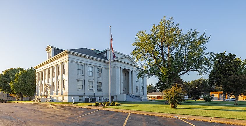
Beyond the counties in the Bootheel, there are some notable geographical landmarks. The Bootheel includes the head of the old valley of the Mississippi River, which once flowed west from Cape Girardeau. This area is significant due to its historical connection to the river's past course. Additionally, the southern part of the Bootheel contains part of the Pemiscot Bayou, a significant drainage point for nearby rivers such as the Mississippi and Ohio Rivers.
Historical Significance
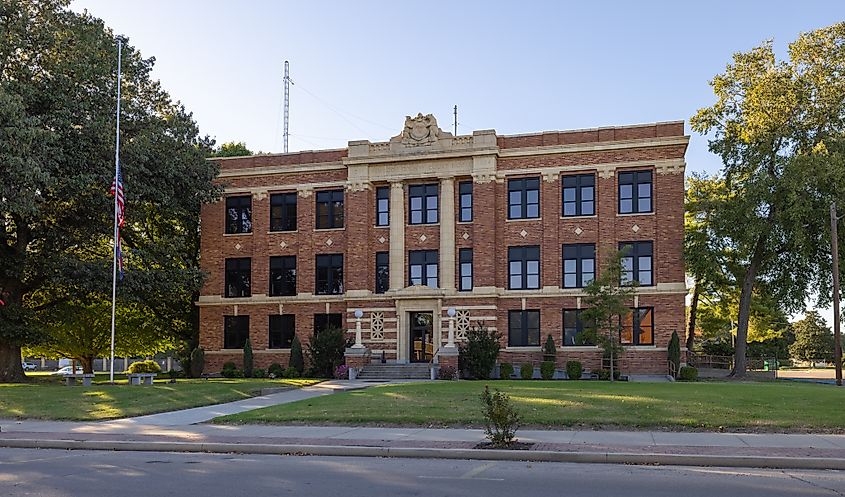
Throughout history, the Missouri Bootheel's borderline has been significant, particularly regarding the issue of slavery. The Missouri Compromise allowed Missouri to be admitted as a slave state while Maine was admitted as a free state. The division was federal legislation meant to balance the desires of the southern and northern states. This boundary decision meant that the Bootheel region became a line of division between free and slave territories, highlighting its importance during the period leading up to the Civil War.
Culture
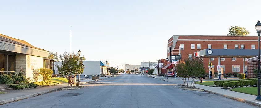
The Missouri Bootheel has long been culturally significant, particularly through its connection to Delta blues music. This is because the bootheel is near the birthplace of the Delta blues, one of the earliest forms of blues music. This genre is known for its emotive sound, often featuring the slide guitar as a signature instrument.
In addition to its musical heritage, the Bootheel is known for its unique rural African American culture. Historically, this area had remote settlements along riverbanks, far from paved roads. The seclusion of these areas is believed to have provided a haven for moonshiners, contributing to the Bootheel's reputation for lawlessness.
Why does Missouri have a Bootheel?
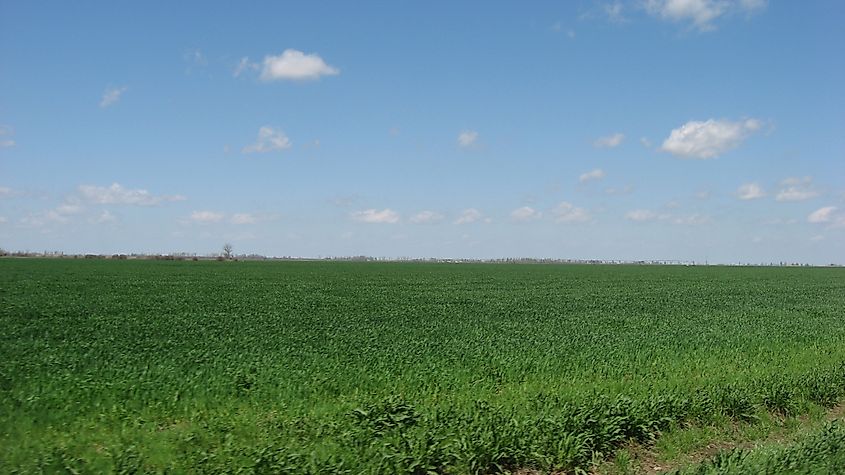
While the Bootheel is an interesting aspect of the Missouri border, it wasn't in the state's original maps. The original maps instead showed the state as fairly square. The government originally intended to use the natural boundaries as state lines, making Missouri similar to the shape of many other states. However, somehow, Missouri ended up with a Bootheel. While nobody knows the exact reason why Missouri's shape changed, many suspect politics and money had something to do with it. There is a local rumor that a wealthy, influential landowner named John Hardeman Walker was the reason for the state's Bootheel. Many suspect he used his influence to convince the local government to change the state's shape into the famed bootheel visible today.
The Mystery
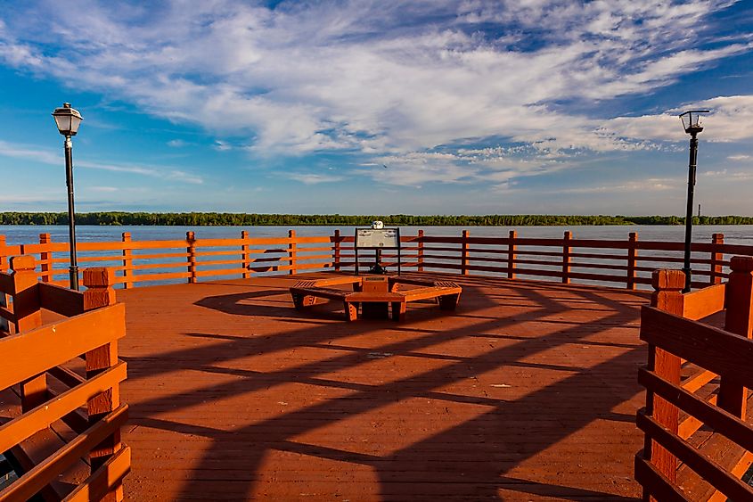
People believe John Hardeman Walker had something to do with the Bootheel because he owned land in the area. Having a Bootheel state shape meant that Walker's land would be a part of Missouri instead of Arkansas. However, there is no apparent reason for why this mattered to him. Nobody can confirm or deny Walker had anything to do with the state changing shape. There are also no government documents offering an explanation about the addition of a Bootheel. To this end, it is nearly impossible to uncover the real reason for the Bootheel, so to this day, the reason remains a mystery.
Final Thoughts
While Missouri's Bootheel may or may not have mysterious origins, the area has become a famous landmark. The location's geography, with the Mississippi River flowing along the east side, makes it a scenic abode for outdoor enthusiasts. Hand in hand, the area’s rich culture is also a draw, palpable through the lovely Delta blues music audible in many local towns. To this end, it is an ideal destination for tourists looking to discover Missouri. Moreover, those interested in the local mystery can also dive into local texts to figure out why Missouri has a bootheel.


