Murchison River
The Murchison River is Western Australia’s second-longest river after the Gascoyne River. It begins from the Robinson Range and flows for some 820 kilometers to the Indian Ocean, entering the ocean at the coastal town of Kalbarri. The river has carved a deep gorge in the Kalbarri National Park known as the Murchison River Gorge, one of the park’s major attractions. The estuarine formed at the mouth by sandbars and reefs is a major fishing ground. The British Explorer George Grey named the river in 1839 in honor of Sir Roderick Murchison, the Scottish geologist. The Murchison River drains approximately 82,000 square kilometers and is home to over 200 bird species, fish, and crabs.
Overview

The Murchison River is one of the major rivers in Western Australia flowing into the Indian Ocean. The state’s second-longest river flows almost parallel with the Gascoyne River (Western Australia’s longest river), though the two rivers flow into the Indian Ocean at different points. The Murchison River rises on the Peak Hill of the Robinson Ranges, located about 75km north of Meekatharra, and flows westwards for about 820 kilometers to the Indian Ocean. The river discharges an average of 6.60 cubic meters of water per second at its mouth and drains 82,000 square kilometers. The drainage basin stretches over 550 kilometers from the ocean to Yilgarn Craton. Major towns located within the watershed include Meekatharra and Kalbarri and the ghost towns of Geraldine, Galena, and Yaloginda.
Course
The Murchison River rises on the Robinson Ranges’ southern slope. The Robinson Ranges is a group of hills in central Australia, located about 120 kilometers north of Meekatharra and forms the boundary between the Gascoyne and Murchison Rivers’ upper catchment areas. The Murchison River flows westwards from its source and meets the Yalgar River after about 130 kilometers near Moorarie Station. Then it flows for another 100 kilometers westwards and turns south-southwestwards for another 120 kilometers.

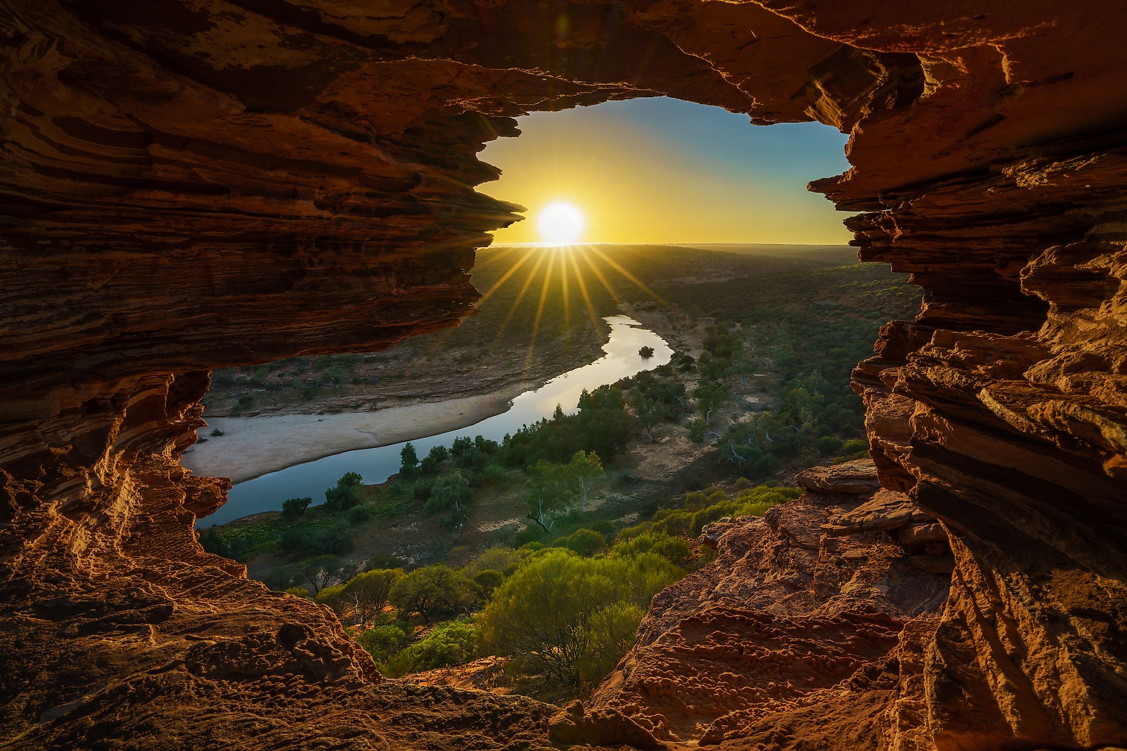
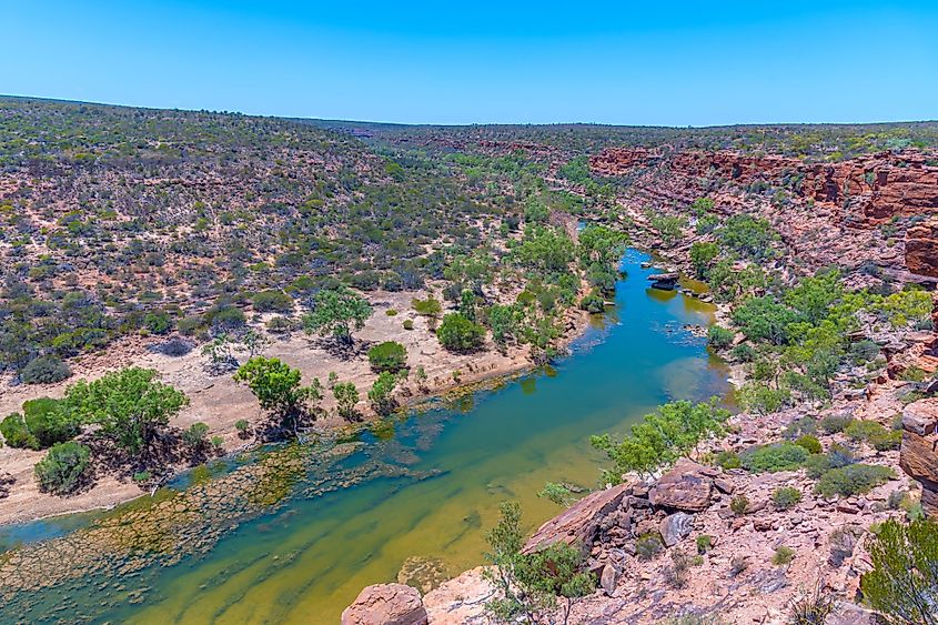
The Murchison receives the Rodrick River near Murchison Settlement and continues in the south-southwestwards direction for another 70 kilometers and then makes several turns for the next 100 kilometers. It flows under the Galena Bridge along the North West Coastal Highway and then enters the Kalbarri National Park, where it flows through the Murchison Gorge. The Murchison passes through the Z Bend and The Loop, then turns southwestwards to Kalbarri and empties into the Indian Ocean.
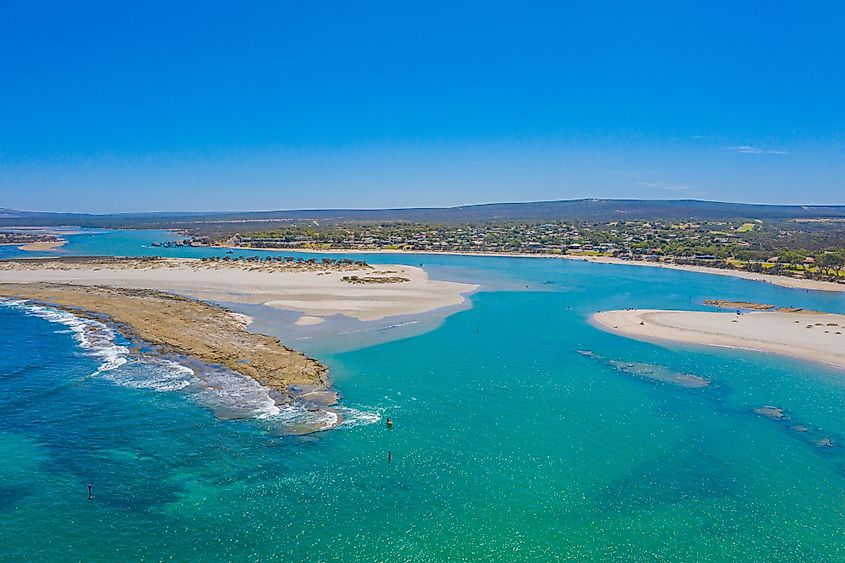
The Murchison River forms an estuarine about 18 kilometers to the mouth. The estuarine begins from the Murchison House Ford to the river's mouth and consists of shallow pools and sandbars. Sometimes, the estuarine receives an inflow of ocean sediments and saline water due to the tides. The river transports large sediment quantities to the estuarine during high flow, which is stirred by the wind to make the water turbid.
Brief History

The Murchison River is an old river that has existed for millions of years. However, the British Explorer George Grey came across the river in 1839 on the way to the Swan River from the Shark Bay when he shipwrecked at its mouth. Grey named the river in honor of his patron, the Scottish Geologist Sir Rodrick Murchison. Charles Von Bibra established the Murchison House Station on the banks of the river’s western end in 1858. During the first half of the 20th century, the estuarine was a popular holiday destination and hosted a military camp during the Second World War. The Murchison River has broken its banks several times, including in 1866 when it drowned the Geraldine Mine.


