Maps of Lithuania
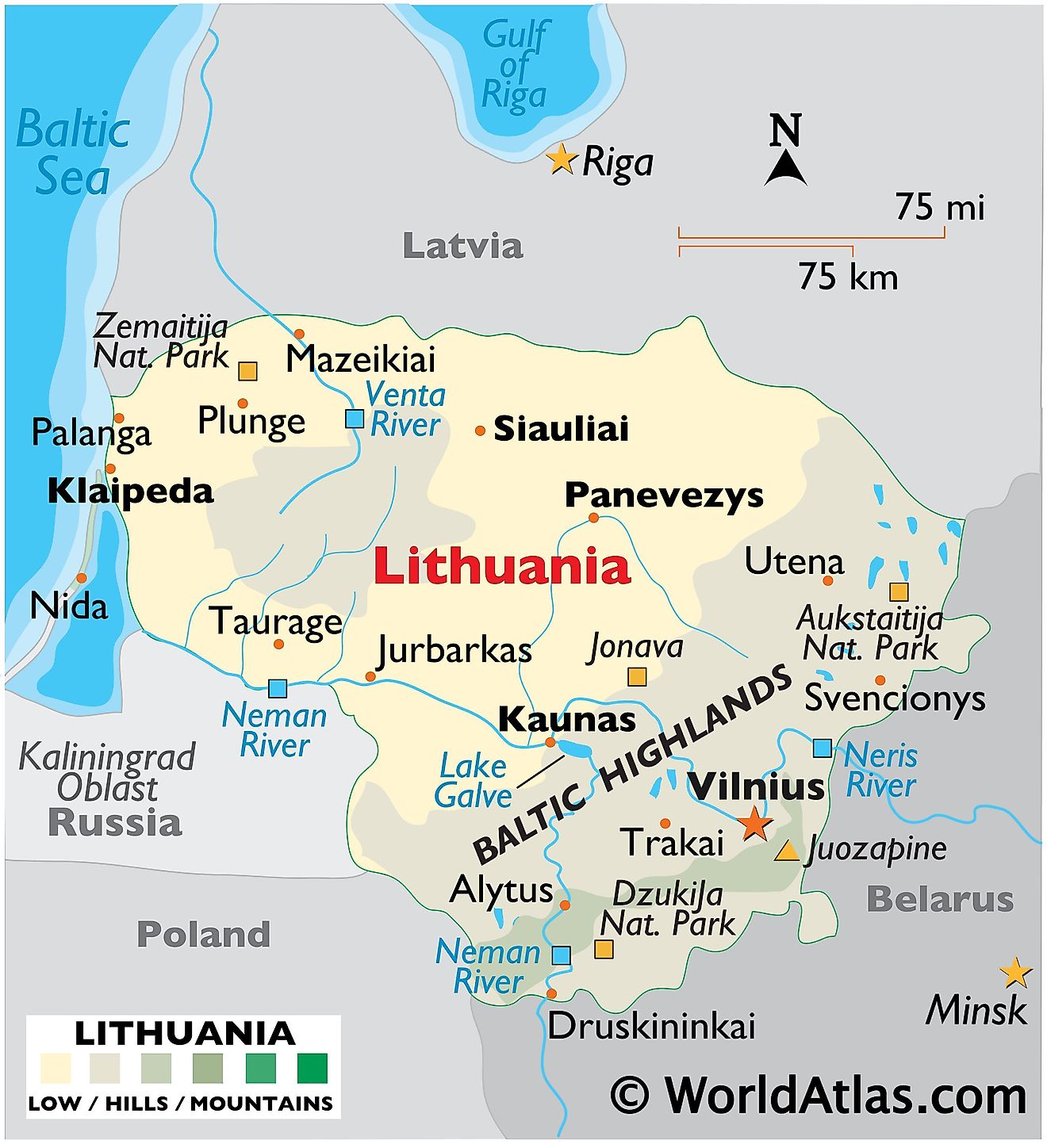
With an area of 65,300 sq. km, a population of about 2.8 million people, Lithuania is the largest and the most populous of the three Baltic Republics.
Smoothed by glacier retreat during the last Ice Age, Lithuania is mostly flat lowlands in the west, with some low hills.
In the east and southeast, bogs, numerous small lakes, and the rolling hills of the Baltic Highlands dominate the landscape, where much of the land is covered by dense forest.
Its highest point is near the Belarus border where the Juozapine stands at 964 ft. (294m).
Important rivers include the Neman (Nemunas), Neris and Venta.
In the west along the Baltic Sea the shallow Curonian Lagoon extends south to Kaliningrad.
Municipalities of Lithuania Map
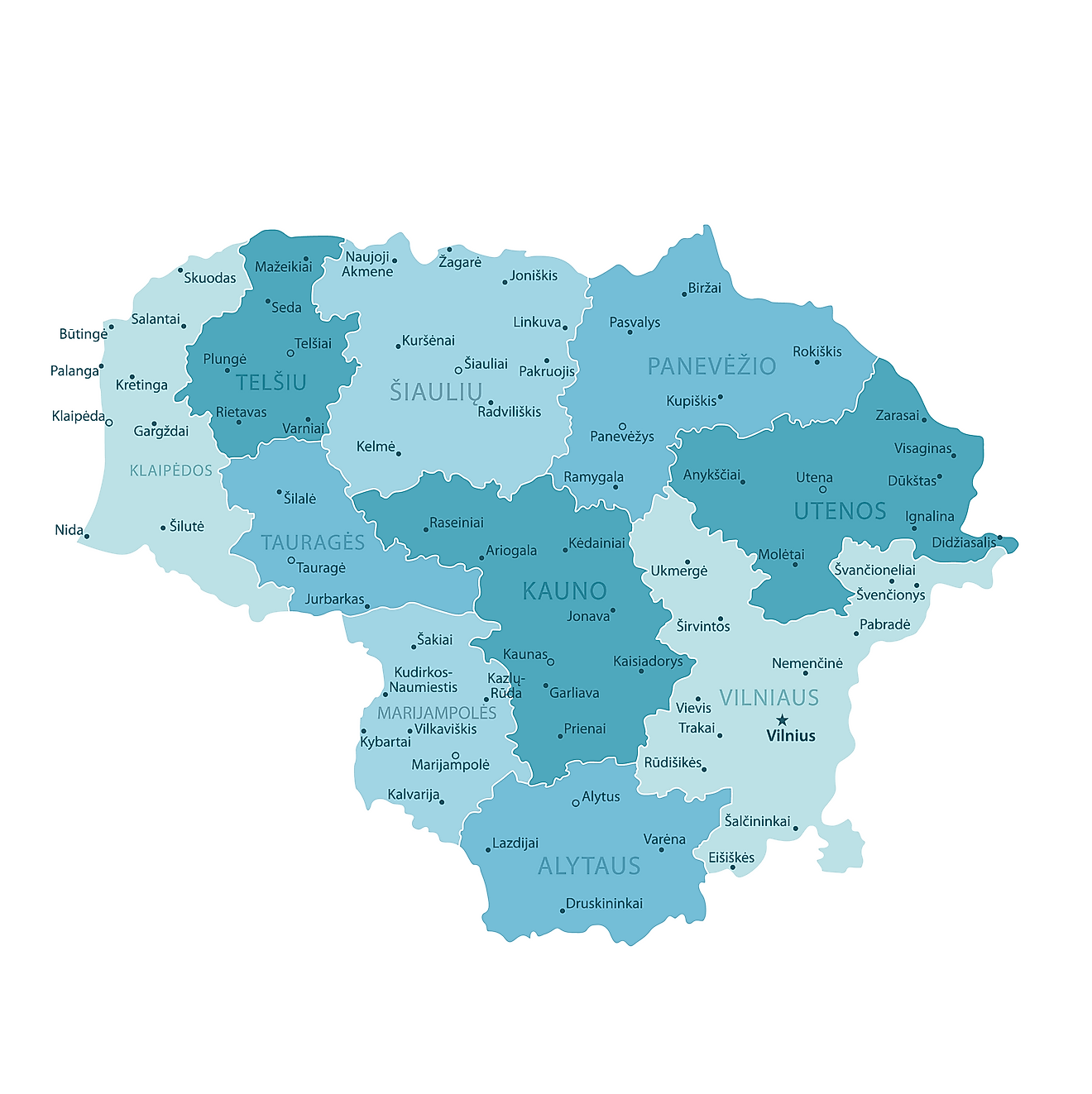
Although Lithuania was initially divided into 10 counties but the counties were abolished in 2010. They are currently used only for statistical and reporting purposes. The map above shows the county divisions with the 60 municipalities. The latter are the first level administrative division in the country.
In alphabetical order, these municipalities are: Akmene, Alytaus Miestas, Alytus, Anksciai, Birstono, Birzai, Druskininkai, Elektrenai, Ignalina, Jonava, Joniskis, Jurbarkas, Kaisiadorys, Kalvarijos, Kauno Miestas, Kaunas, Kazlu Rudos, Kedainiai, Kelme, Klaipedos Miestas, Klaipeda, Kretinga, Kupiskis, Lazdijai, Marijampole, Mazeikiai, Moletai, Neringa, Pagegiai, Pakruojis, Palangos Miestas, Panevezio Miestas, Panevezys, Pasvalys, Plunge, Prienai, Radviliskis, Raseiniai, Rietavo, Rokiskis, Sakiai, Salcininkai, Siauliu Miestas, Siauliai, Silale, Silute, Sirvintos, Skuodas, Svencionys, Taurage, Telsiai, Trakai, Ukmerge, Utena, Varena, Vilkaviskis, Vilniaus Miestas, Vilnius, Visaginas and Zarasai. These municipalities are further subdivided into 500 elderships (seniunija).
Located in the south eastern part of the country, at the confluence of Neris and Vilnia Rivers, Vilnius is the capital and the largest city of Lithuania. It is also the cultural, administrative and industrial center of Lithuania. Vilnius is the 2nd largest city in the Baltic States.
Where is Lithuania?
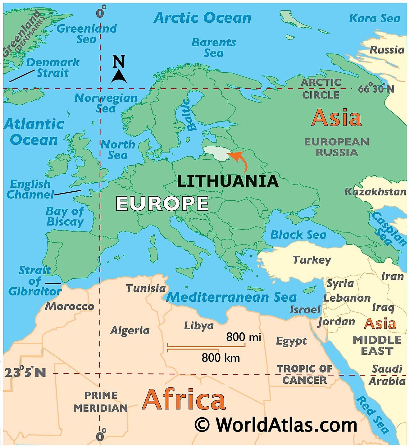
Lithuania is a Baltic country situated in North Eastern Europe. It is geographically positioned both in the Northern and Eastern hemispheres of the Earth. Lithuania is located on the eastern coast of the Baltic Sea and on the southeast of Denmark and Sweden. Lithuania is bordered by 4 Nations: by Latvia in the North; Belarus in the east and south; Poland in the south; and Kaliningrad oblast of Russia in the southwest.
Lithuania Bordering Countries: Russia, Belarus, Latvia, Poland.
Regional Maps: Map of Europe
Outline Map of Lithuania
The blank outline map represents Lithuania, one of the Baltic states of Europe with a coastline on the Baltic Sea. The map can be downloaded for free, printed, and used for coloring or map-pointing activitie.
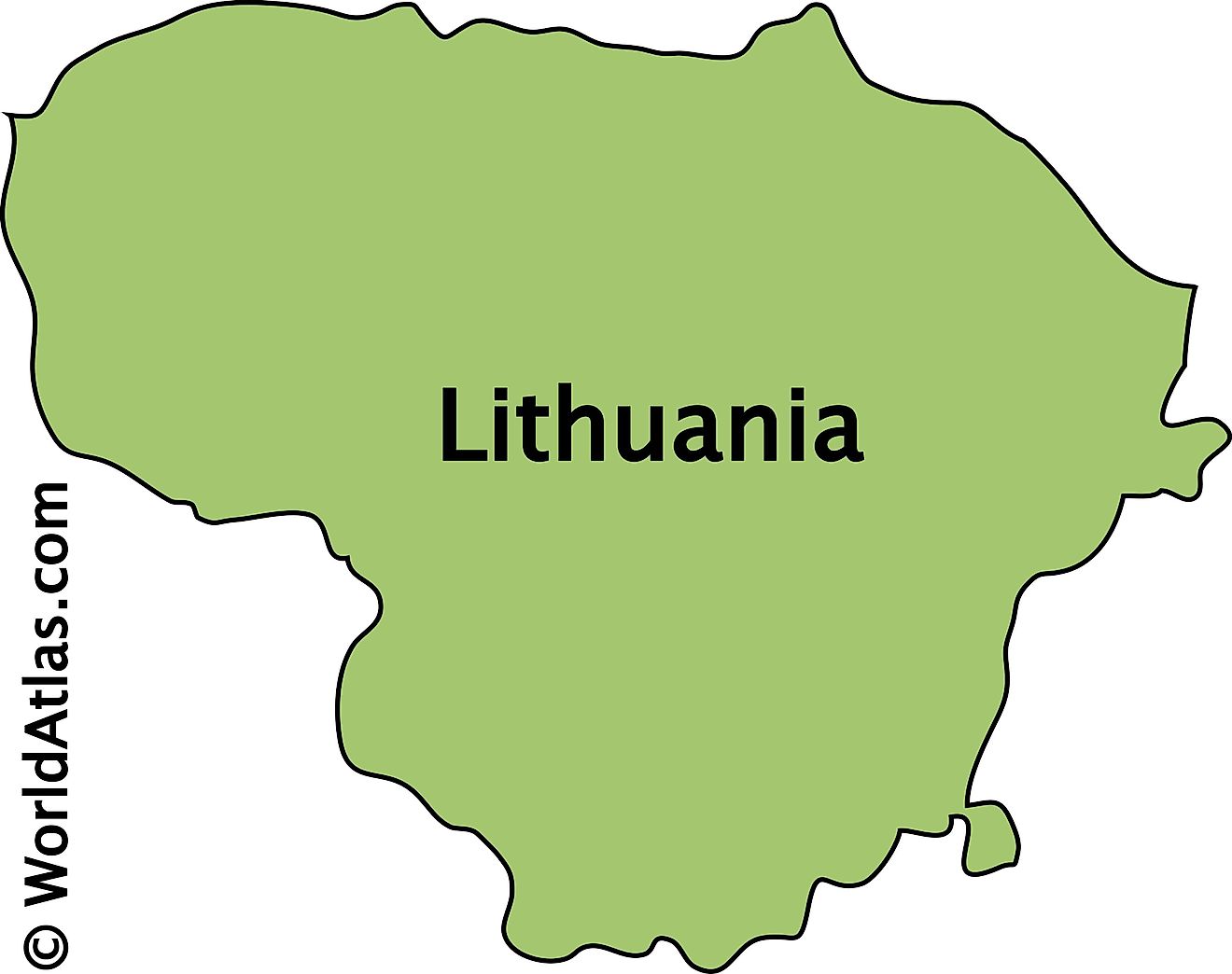
The outline map above is of Lithuania, a country located in Northern Europe's Baltic region.
Key Facts
| Legal Name | Republic of Lithuania |
|---|---|
| Flag |
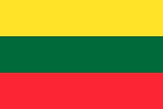
|
| Capital City | Vilnius |
| 54 41 N, 25 19 E | |
| Total Area | 65,300.00 km2 |
| Land Area | 62,680.00 km2 |
| Water Area | 2,620.00 km2 |
| Population | 2,786,844 |
| Largest City |
Vilnius (541,275) |
| Currency | Litai (LTL) |
| GDP | $54.22 Billion |
| GDP Per Capita | $19,455.45 |
This page was last updated on February 24, 2021
