Maps of Guadeloupe
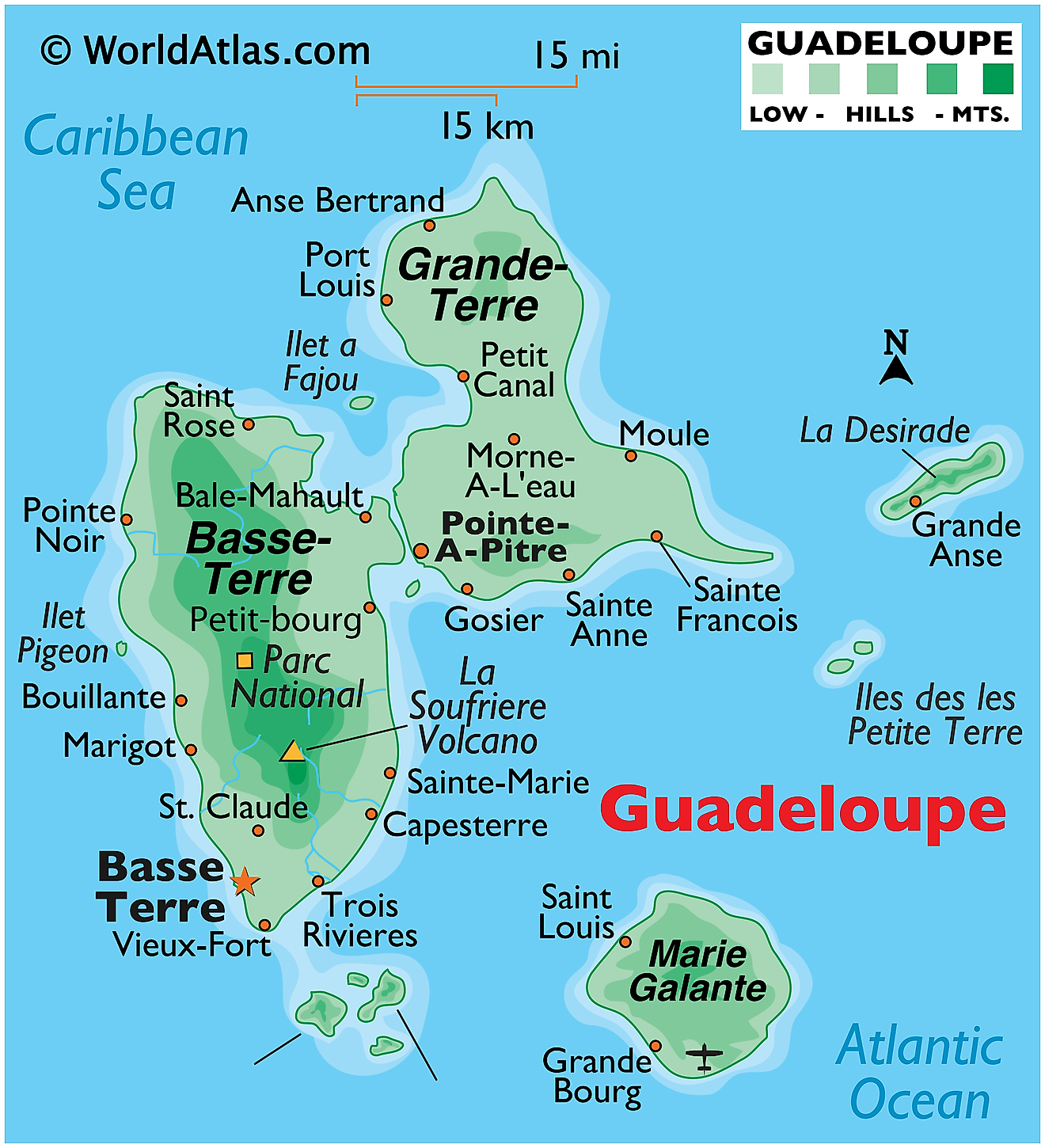
The French territory of Guadeloupe can be found in the heart of the Caribbean Sea. The Guadeloupe Archipelago includes the large butterfly-shaped principal islands of Basse-Terre and Grande-Terre and numerous smaller islands. Consisting entirely of small islands, Guadeloupe has shared no land border with any other nation or territory. The closest nation to Guadeloupe is Dominica in the south and Montserrat to the north.
The Salée River separates the two main islands from one another. This "river" is just a small channel of ocean that is crossed daily with the use of ferries and boats owned by private citizens. A few small rivers do exist on the island, however. few small rivers (streams) drain the island of Basse-Terre. Several beaches and bays fringe the island’s coastline.
La Grande Soufriere an active volcano located on the main island of Basse-Terre is the tallest point in Guadeloupe. Standing at an elevation of 4,813 ft (1,467m), it is the highest point in the Lesser Antilles. As observed on the map, Basse-Terre island is slightly more mountainous and lush than its sister island and has plenty of forested areas
Grande-Terre is mostly a flat limestone-based island, possessing a few coastal mangrove swamps to the north of Point-a-Pitre. The other smaller islands are hilly and volcanic in origin. The second island is significantly smaller with only a 570 sq. km area.
Political Map of Guadeloupe
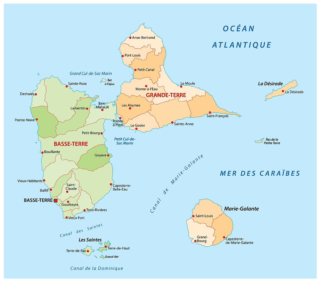
Being an overseas region and department of France, Guadeloupe has no such distinct administrative divisions. However, for the sake of local governance, Guadeloupe has been divided into a total of 32 communes.
Covering a total land area of 1630 sq.km, Guadeloupe is an archipelago of seven inhabited islands: Basse-Terre, La Desirade, Grande-Terre, lles de la Petite Terre, lles des Saintes (2), and Marie-Galante.
Located on the southwestern coast of Basse-Terre island is, Basse-Terre – the capital (prefecture) and the 2nd largest city of Guadeloupe. Situated on the southwestern coast of Grande-Terre island is, Pointe-a-Pitre – the largest city and economic hub of Guadeloupe. It also serves as the industrial and commercial center and the chief port of Guadeloupe. Positioned in the western part of Grande-Terre Island is Les Abymes – the most populous city of Guadeloupe.
Where is Guadeloupe?
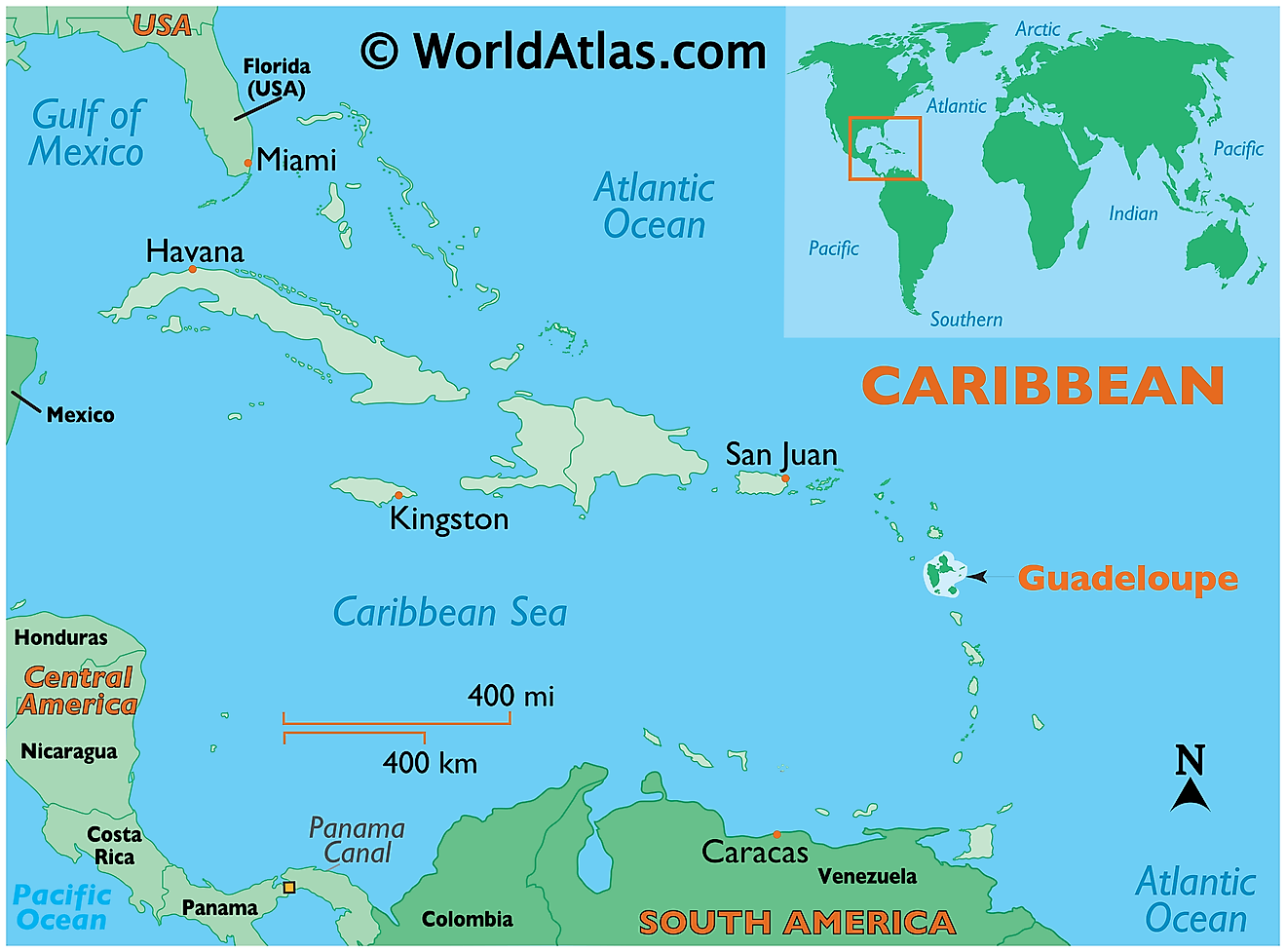
The archipelagic nation of Guadeloupe is located in eastern Caribbean, between the North Atlantic Ocean and Caribbean Sea. Guadeloupe is a part of the Leeward Islands in the northern Lesser Antilles islands group. It is geographically positioned both in the Northern and Western hemispheres of the Earth. It is situated to the north of Dominica, to the southeast of Puerto Rico and to the south of Montserrat and Antigua and Barbuda.
Regional Maps: Map of North America
Outline Map of Guadeloupe
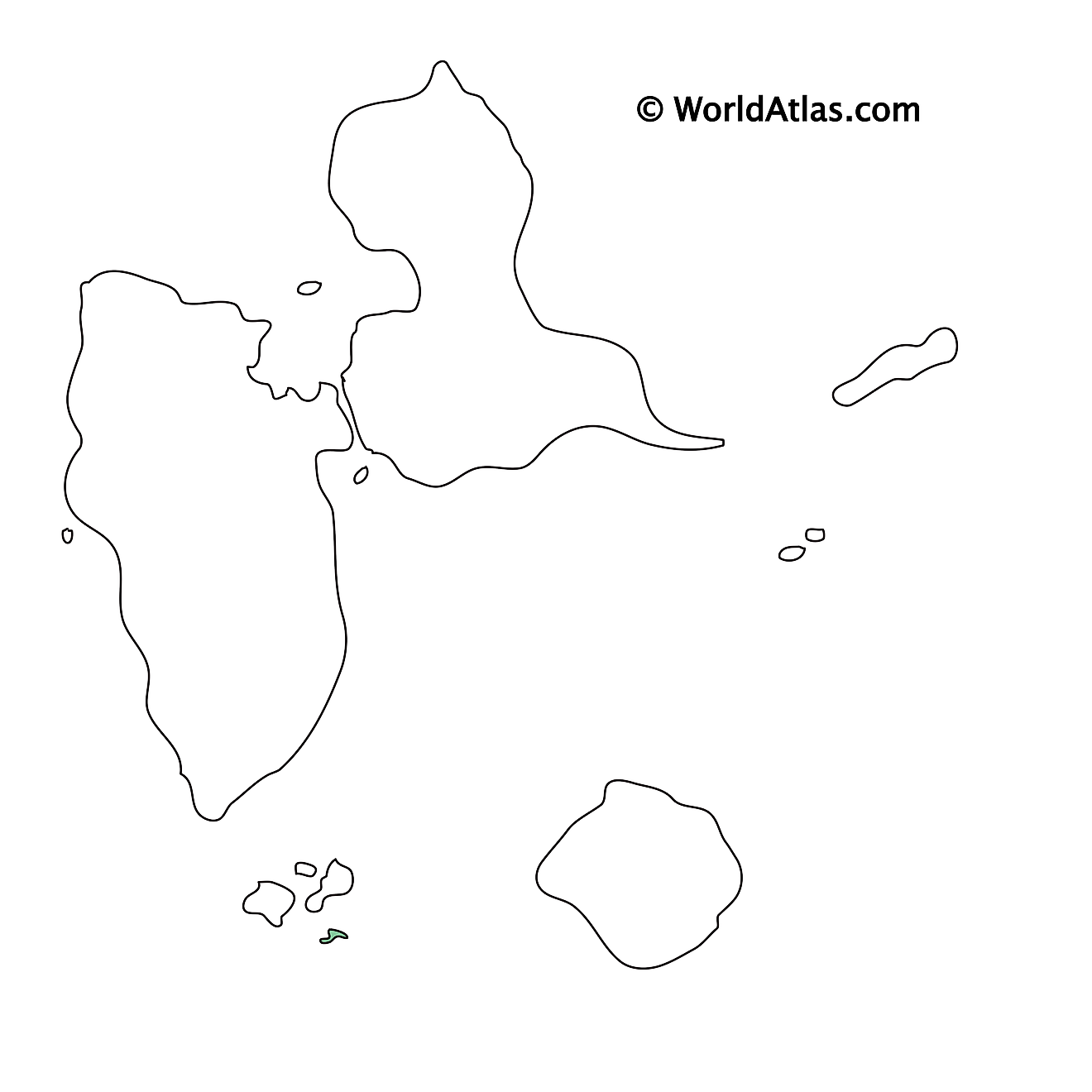
The above blank map represents Guadeloupe - an archipelagic nation located in eastern Caribbean, between the North Atlantic Ocean and Caribbean Sea. The blank map can be downloaded, printed and used for geography education purposes.
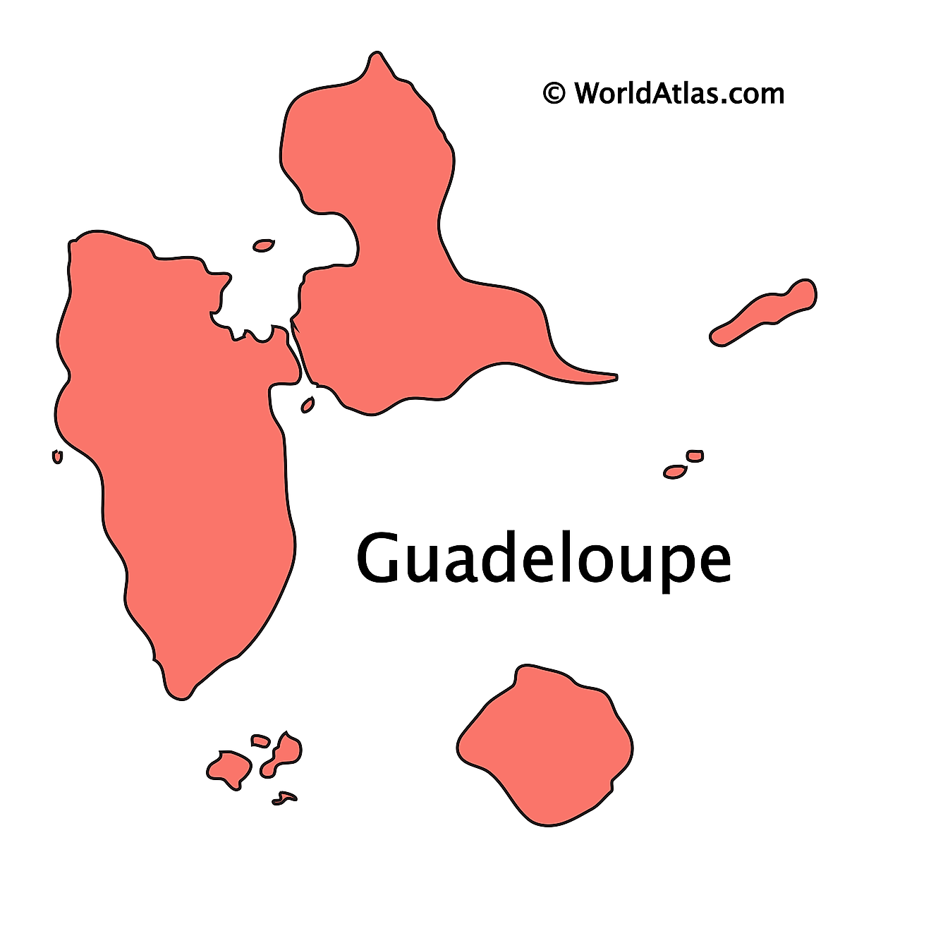
The above outline map represents Guadeloupe - an archipelagic nation located in eastern Caribbean, between the North Atlantic Ocean and Caribbean Sea. The archipelago includes the large butterfly-shaped principal islands of Basse-Terre and Grande-Terre, and numerous smaller islands.
Key Facts
| Legal Name | |
|---|---|
| Flag |
|
This page was last updated on December 16, 2023

