Maps of Saint Lucia
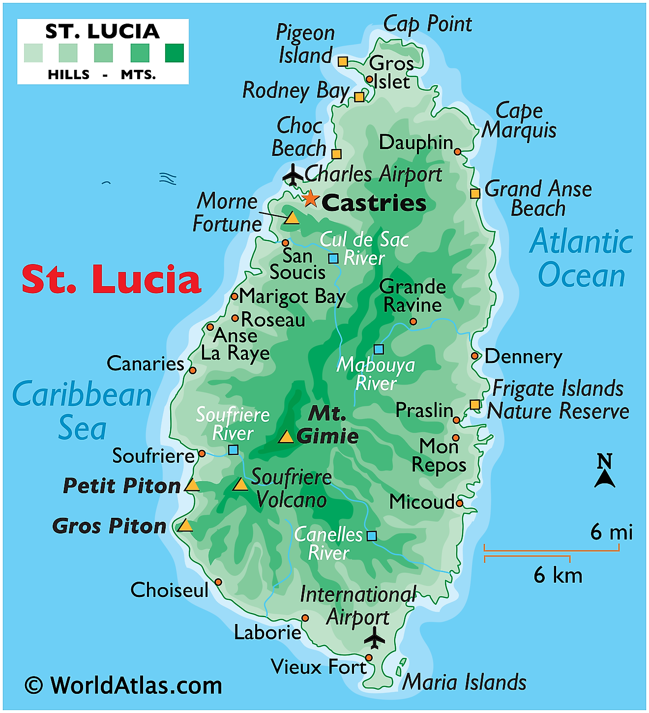
Volcanic in origin, Saint Lucia is one of the many small islands that comprise the Caribbean's Windward Islands. Covering a total land area of 617 sq.km, St. Lucia's landscape is dominated by dense jungle and a central ridge of forested mountains.
St. Lucia is known around the world for the striking twin peaks of Gros Piton and Petit Piton on its south western coast. The positions of these peaks have been marked on the physical map of St. Lucia above.
The island's highest peak, Mount Gimie is positioned in the South-Central mountain range and rises to 958m (3,143 ft) above sea level. The island is drained by dozens of small rivers that flow to the sea; the largest ones include the Canelles, Cul de Sac, Mabouya and Soufriere. The island is ringed by miles of sandy beaches, as well as many small bays.
Districts of Saint Lucia Map
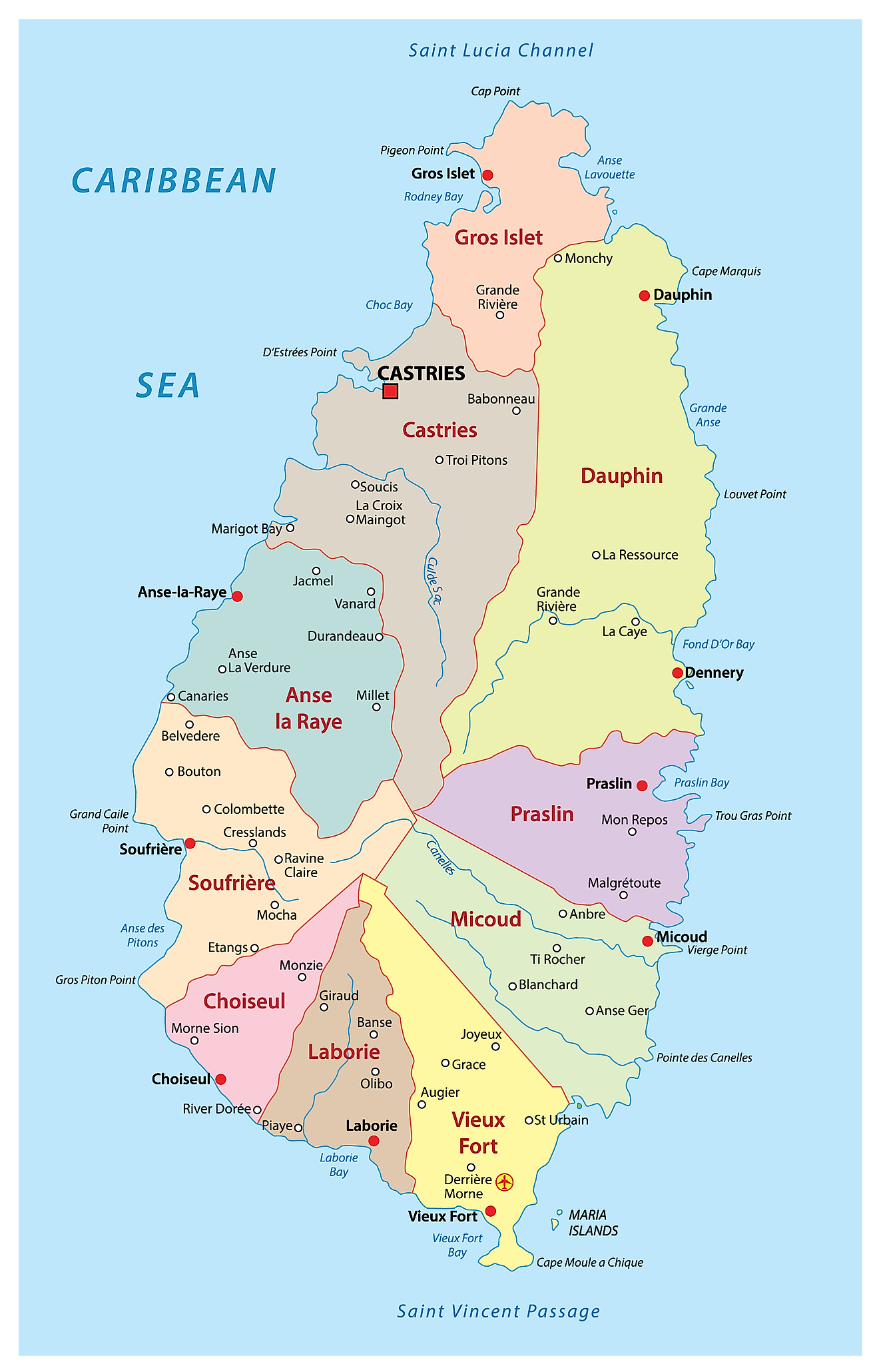
Saint Lucia is divided into 11 districts/quarters. In alphabetical order, the districts are: Anse-la-Raye, Canaries, Castries, Choiseul, Dauphin, Dennery, Gros-Islet, Laborie, Micoud, Soufriere and Vieux-Fort.
Located on a flood gate that has been built on reclaimed land in the north western coast of the island country is Castries – the capital and the largest city of Saint Lucia. Castries is the major port and a landlocked deep water harbour of Saint Lucia.
Where is Saint Lucia?
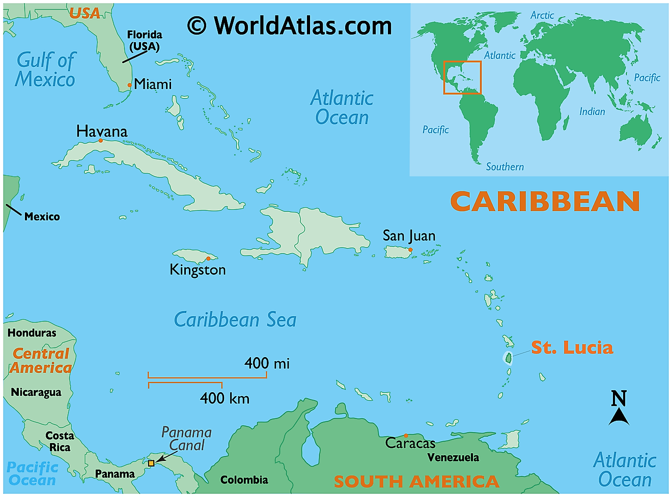
The Caribbean island nation of Saint Lucia is located in the eastern Caribbean Sea in the Lesser Antilles region. The 2nd largest Windward islands – Saint Lucia is positioned in the Northern and Western hemispheres of the Earth. Saint Lucia is situated to the northeast of Saint Vincent islands; to the northwest of Barbados and to the south of Martinique. It is surrounded by the Atlantic Ocean.
Regional Maps: Map of North America
Outline Map of Saint Lucia
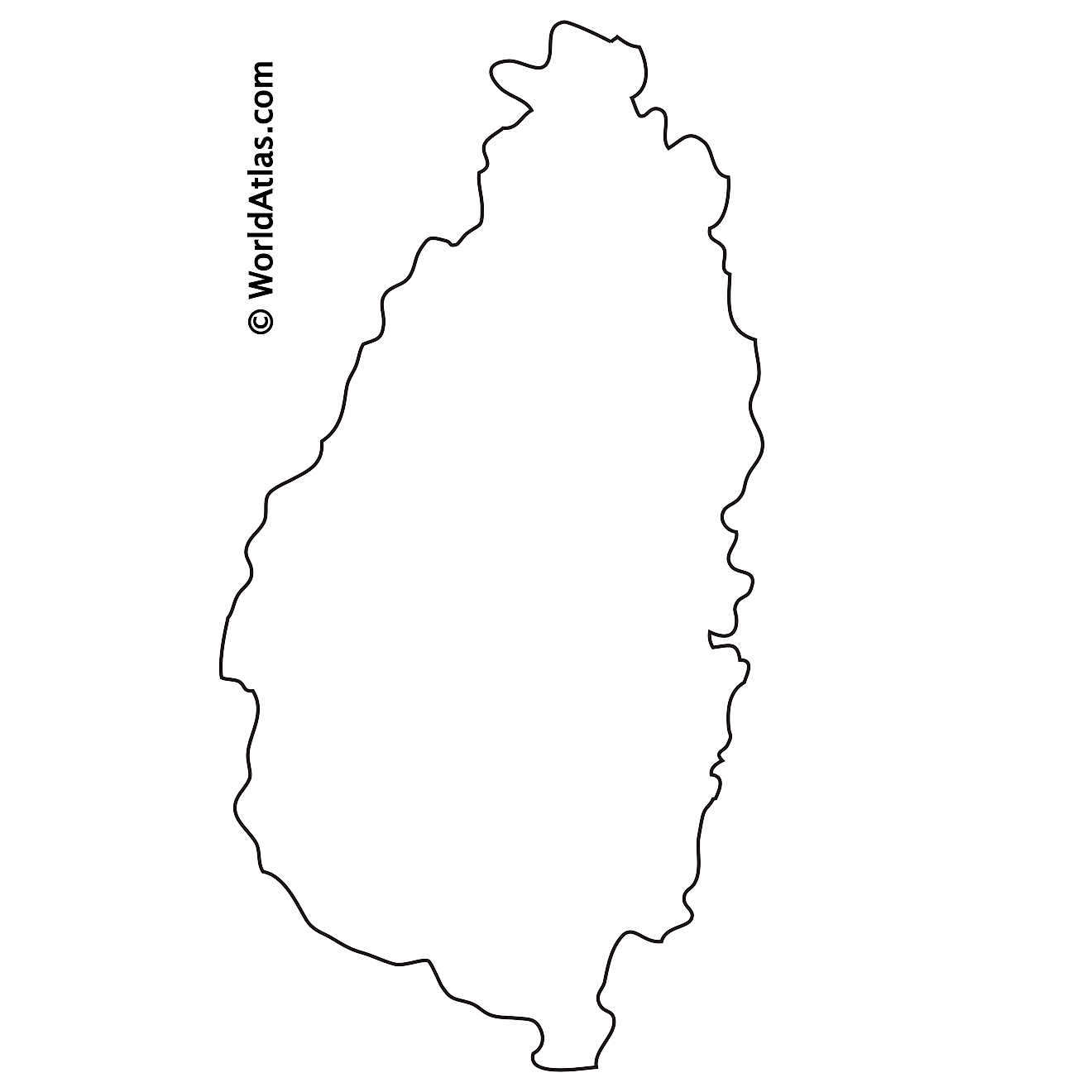
The above blank map represents Saint Lucia – a sovereign island nation in the eastern Caribbean Sea. The above map can be printed, downloaded and used for educational purpose.
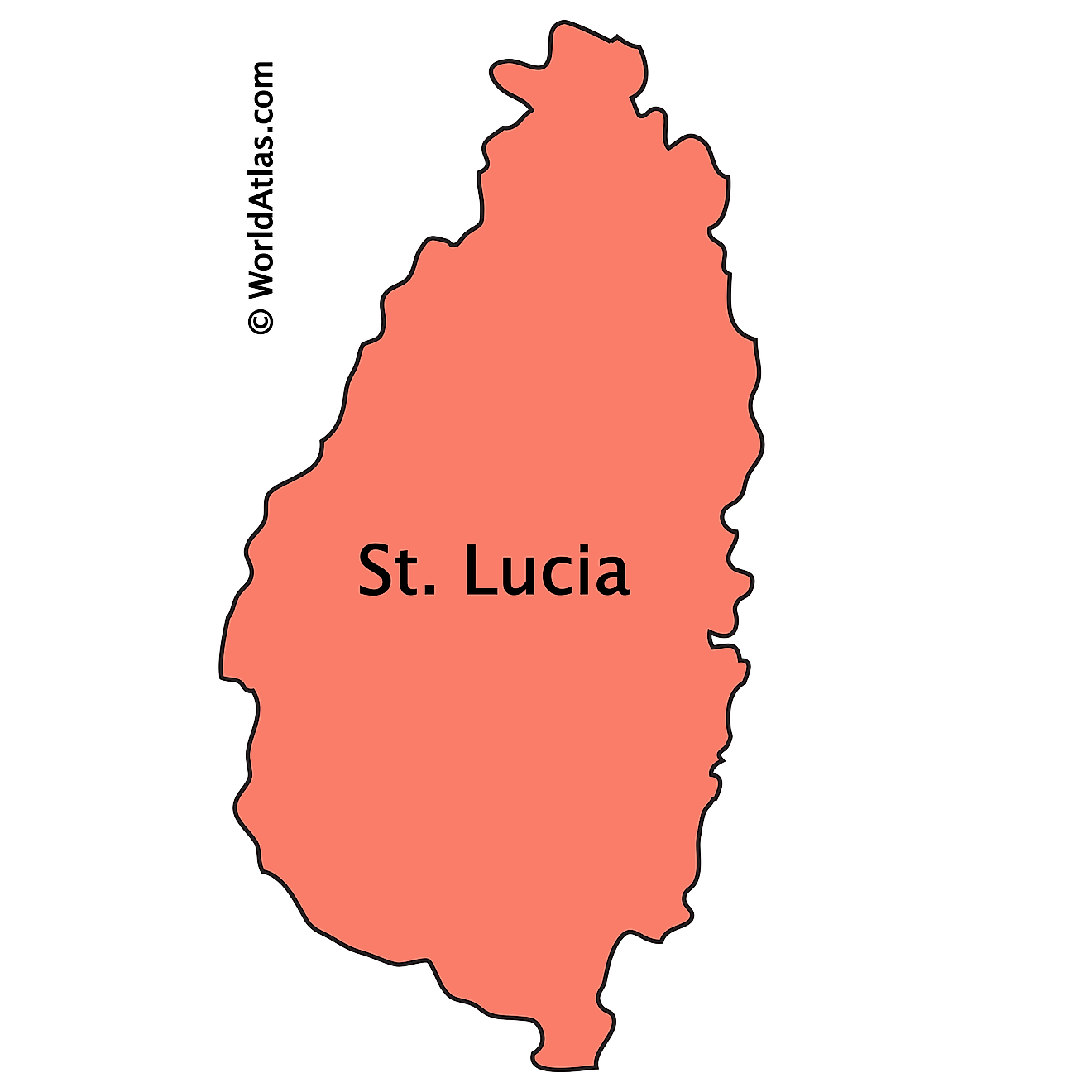
The above outline map represents Saint Lucia - a sovereign island in the eastern Caribbean Sea. The islands are of volcanic origin and are mountainous.
Key Facts
| Legal Name | Saint Lucia |
|---|---|
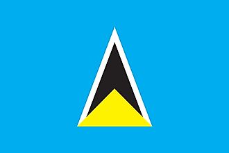
| Flag |
|
| Capital City | Castries |
| 14 00 N, 61 00 W | |
| Total Area | 616.00 km2 |
| Land Area | 606.00 km2 |
| Water Area | 10.00 km2 |
| Population | 182,790 |
| Currency | East Caribbean dollars (XCD) |
| GDP | $2.12 Billion |
| GDP Per Capita | $11,611.42 |
This page was last updated on February 25, 2021
