What is a Losing Stream?

A losing stream, also referred to as an influent stream or disappearing stream, is a river or stream which loses water while moving downstream. The water in the influent streams infiltrates the ground and recharges the groundwater since the water table is right below the water channel. Influent rivers are common in arid regions and areas with karst landscapes where a cave system completely captures the water from the stream and then drain in the subterranean rivers. If the groundwater pumping system is sufficient enough to reduce the level of the groundwater or there is a well near the stream, the level of the groundwater can drop below the stream level, therefore initiating the ground water recharging method from the stream. Stream depletion is the process of losing water from the river as a result of pumping. Numerous natural conditions like floods can also create the influent stream condition. When the river floods the stream level is raised above the groundwater level temporarily causing the rivers to revitalize the groundwater adjacent to the overflowing stream. However, when the level of the river normalizes, the infiltrated water drains back into the river.
Topographical Condition Causing Influent Streams
Influent streams are typical in places of karst topography. The dissolving of numerous soluble rocks like gypsum, dolomite, and limestone results in the formation of the karst landscape. Karst topography is characterized by different underground systems like caves and sinkholes. The presence of a subterranean drainage limits the surface water with fewer to no lakes or rivers. In places where the dissolved rocks are confined by more soluble super-imposed rock strata, the karst feature will remain below the ground level. The karst topology develops whenever the acidic water breaks the bedrock surface near the cracks of the bedding planes. As the limestone continues to degrade, the crack expands. With time, the fracture widens and finally develops into an underground drainage. The formed underground drainage hastens the formation of karst since more water flows through the crack giving it an erosive power. Karstification can result in a variety of ways, either small or large scale features, beneath the ground and on the surface. Some of the features formed on the surface include limestone pavement, runnels, sinkholes, reappearing springs, and influent streams. Some of the significant natural features formed on the surface include karst valleys, karst towers, polje, and limestone pavement.
Formation of Karst Caves
Karst caves are formed on soluble rocks like limestone. The limestone dissolves when in contact with groundwater or rainwater and changes into carbonic acid among other naturally occurring acids. The natural acid which seeps through the joints, cracks, and faults, dissolves the rocks and these results in the cracks developing into caves. The karst caves are formed in limestone which dissolves when in contact with groundwater and rainwater. The dissolving process results in the formation of a landscape referred to as karst. The part of the karst cave which is beneath the stream or rivers is always flooded. Some of these caves include Carlsbad Cavern and Lechuguilla Cave located in New Mexico. The hydrogen sulfide gas from the oil reservoirs helped form these caves. The hydrogen sulfide gas mixes with water to produce sulfuric acid which dissolved the rock resulting in the formation of these caves.
Subterranean Rivers
A subterranean river is a river which partially or wholly runs underground. The riverbeds of subterranean streams are not represented on the surface. Subterranean rivers are naturally flowing through the karst caves. In karst topography, a losing river can disappear through the sinkholes on the top layer and flow into the karst caves.
Examples of Disappearing Streams
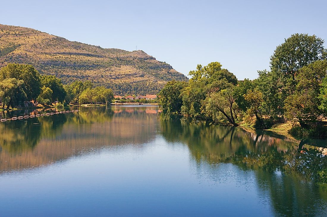
Trebisnjica
Located in Bosnia and Herzegovina, Trebisnjica is the longest sinking river in the world, stretching over 116 miles underground and 60 miles below the ground. River Trebisnjica originates from two streams from the Cemerno and Lebrsnik mountains. After flowing underground for about 30 miles, the water appears as a series of cave springs near Bileca and then rejoins River Trebisnjica. The river flows south through the Mirusa depression before being flooded by Lake Bileca. The river flows into the karst field of Popovo Polje, where the water sinks and then reappears as three separate water outflows, the Capljina spring, Vrulje underground spring, and finally it reappears in a cave near Gruz.
The Lost Streams of Idaho
Although they are considered to be separate streams, the Little Lost River and the Big Lost River flow into one depression before becoming subterranean which feeds the Snake River Aquifer. These two rivers are in the Butte and Custer counties of Idaho. Through many springs and aquifer, these two streams are tributaries to the Snake River. The Little Lost River is 49 miles long. It flows towards the southeast between the Lemhi Range and Lost River Range into the Snake River. The Big Lost River, which stretches about 135 miles, originates from the Pioneer Mountains in National Forest and flows with the Lost River range.
Lost River (Indiana)
The Lost River originates from Vernon in Washington and then discharge into the White River. The Lost River stretches over 85 miles long. The name of this river is derived from the concept that about 23 miles of the river flow underground. The Lost River disappears into the sink-holes along the karst land in Southern Indiana.
Lost River (New Hampshire)
The Lost River, which stretches over 6.5 miles, is in the White Mountains in the United States. The river originates from Kinsman Notch and passes through the mountains and then through the Lost River Gorge to the Kinsman Notch. The Jackman brook joins the river at Moosilauke Brook. The river flows to Pemigewasset River through the granite gorge in Agassiz Basin.
The Danube
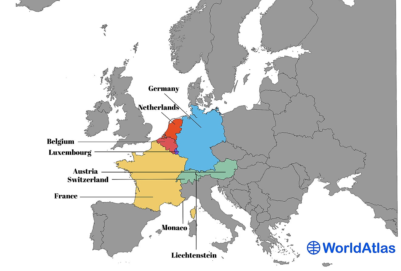
The Danube is the 2nd largest lost river in Europe after River Volga. The Danube was a frontier in Roman Empire, but it flows through ten nations. The river originates from Germany and passes through the borders of nine countries before emptying into the Black Sea. Danube River disappears in the sinkhole between Mohringen and Immendingen a region of karst.


