What Are The Different Types Of Plateaus?
Also referred to as a high plain or a tableland, plateaus are expansive flat uplands that rise discernibly above the surrounding region on at least a single side. Plateaus, along with hills, mountains, and plains, are one of the four significant landforms on Earth. Found on almost every continent, plateaus occupy about one-third of the Earth’s land surface. Several processes, like the movement of tectonic plates, volcanic magma upwelling, lava extrusion, and erosion by water and glaciers, form plateaus over millions of years. Depending upon their location, plateaus vary from one place to another. Hills and mountains surround some plateaus, while others are bounded by mountains on one side and coastal plains on the other. The following article looks into the different types of plateaus.
Classification Of Plateaus
According to their adjacent environment, plateaus are classified into different types. The most complex, extensive, and highest plateaus are formed by endogenic forces that come from deep within the Earth. The plateaus that are formed due to the movements caused by these endogenic forces are known as diastrophic plateaus, which include Intermontane Plateaus, Volcanic Plateaus, Piedmont Plateaus, Continental Plateaus, and Dissected Plateaus.
Intermontane Plateaus

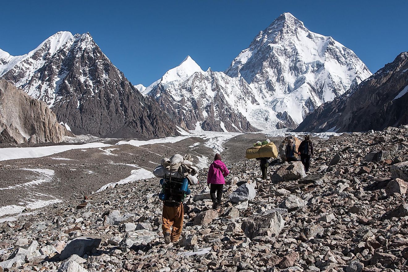
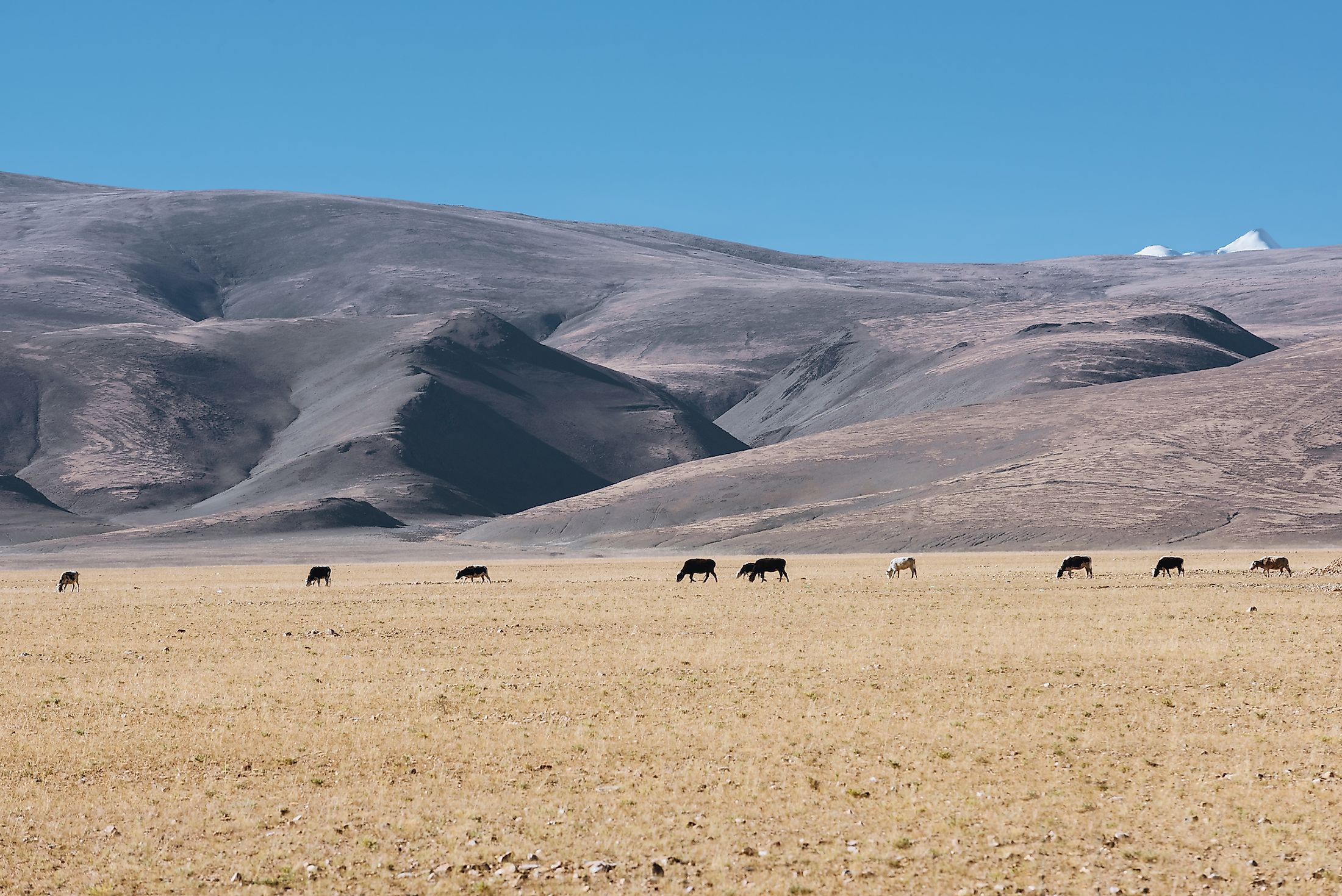
Considered to be the highest and most extensive on Earth, these plateaus are named “intermontane” as they are surrounded on all sides by hills and mountains. Originating along with fold mountains, intermontane plateaus are formed by the upwarping of the central portion of the geosynclines after mountain ranges have formed along both the margins of geosynclines. Examples of the Intermontane Plateaus include the Tibetan Plateau and the Altiplano Plateau.
Often referred to as the “Roof of the World,” the Tibetan Plateau (also Qinghai-Tibet Plateau or Himalayan Plateau), with an average elevation of more than 14,800 ft, is surrounded by high mountain ranges: the Kunlun and its associated mountain ranges in the north; Qilian Mountains in the northeast; and the Himalayan and Karakoram Mountain ranges in the south and southwest. As the plateau holds the most expansive freshwater storage outside the Arctic (North) and Antarctic (South) polar regions, it is sometimes called the world’s Third Pole. Located in South America’s west-central portion between two ranges of the Andes Mountains, the Altiplano Plateau, with an average elevation of 12,300 ft, is one of the Earth’s most extensive high plateaus situated outside Tibet.
Volcanic Plateaus

Volcanic Plateaus refer to those plateaus that are formed as a result of volcanic activities. There are mainly two major types of volcanic plateaus: lava plateaus and pyroclastic plateaus. The highly fluid basaltic lava that comes out via multiple vents during the numerous successive quiet eruptions spreads over an expansive area and solidifies over time. These lava sheet layers then cover the original landscape and eventually form lava plateaus. Examples of lava plateaus include Northern Ireland’s Antrim Plateau, India’s Deccan Plateau, and the United States’ Columbia Plateau.
Shaped like an inverted triangle and placed between the Western and Eastern Ghats, the large Deccan Plateau occupies significant portions of western and southern India. The plateau’s northwestern part comprises lava flows and igneous rock structures called Deccan Traps, consisting of more than 7,000 ft of flat-lying basalt lava flows. Placed between the Rocky Mountains and the Cascade Range, the Columbia Plateau in the northwest United States is a broad flood basalt plateau dissected by the mighty Columbia River.
Also called ignimbrite plateaus, pyroclastic plateaus are formed by immense pyroclastic flows. These plateaus are supported by the various types of pyroclastic rocks that are fixed with felsic, mafic, and tuffs. Examples of pyroclastic plateaus include New Zealand’s North Island Volcanic Plateau and Southern Japan’s Shirasu-Daichi Plateau.
Piedmont Plateaus

The French term ‘Piedmont’ derives from the Italian word “Piemonte,” which means ‘foothill.’ The Italian word “Piemonte” has, in turn, been derived from the Latin word “Pedemontium,” which means “at the foot of the mountains.” In keeping up with the term’s meaning, this plateau type is formed at the foothill zones of extensive mountains. Piedmont Plateaus are surrounded on one side by mountain ranges and on the other side by plains or seas. The plateau’s side facing the plains contains steep slopes and forms an escarpment. Piedmont Plateaus are sometimes referred to as “Plateaus of denudation,” as various agents of erosion have reduced these areas that were once high to the mountain levels to the foot level of the mountains.
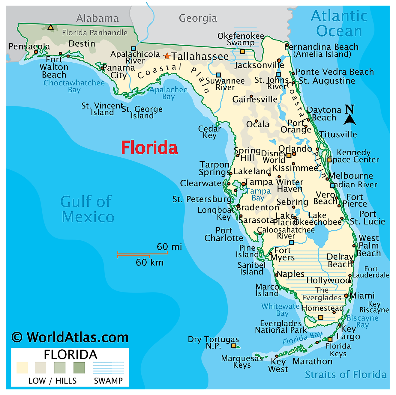
An excellent example of such a plateau type is the Piedmont Plateau of the Eastern United States. Stretching from New York in the North to the central portion of Alabama in the South, this plateau region covers an area of about 80,000 sq. mi between the Appalachian Mountains and the Atlantic Plains. The Blue Ridge Mountains mostly bounds the Piedmont region in the west, while the Atlantic Seaboard Fall Line marks the region’s eastern boundary with the Coastal Plain.
Continental Plateaus

These extensive plateaus are surrounded on all sides by coastal plains or oceans and are located quite far away from the mountainous areas. Often referred to as Plateaus of Accumulation, Continental Plateaus are formed either by massive continental upliftment or by the spreading of less viscous horizontal basic lava sheets that cover the original topography entirely.
A notable example of this type of plateau is East Antarctica’s Antarctic Plateau. Also known as Polar Plateau, the Antarctic Plateau, with an average elevation of 9,800 ft, has a diameter of about 620 mi and includes the entire geographic South Pole region as well as the Amundsen-Scott South Pole Station.
Dissected Plateaus

A dissected plateau refers to a plateau region that has been eroded severely by flowing waters, giving rise to sharp relief. Such a region can also be sometimes called mountainous but dissected plateaus can be distinguished from orogenic mountain belts by extensive faulting, presence of metamorphic rocks, lack of folding, and volcanic activities that follow the mountain-building process. Some examples of dissected plateaus formed after regional uplift include the Allegheny Plateau, Ozark Plateau, and Cumberland Plateau in the US and the Hornsby Plateau in Australia.
Being significant landforms on Earth, plateaus have immense economic significance. They are a storehouse of essential minerals and valuable stones like diamonds, gold, etc. Plateaus also have broad grassland areas that are well-suited for animal rearing. The lava plateaus are rich in fertile volcanic soil and hence are perfect for agricultural activities. Moreover, waterfalls at the plateau edges serve as ideal locations for hydroelectric power generation.