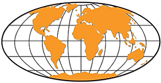
Location of North America


Latitude: (shown as a horizontal line) is the angular distance, in degrees, minutes, and seconds of a point north or south of the Equator. Lines of latitude are often referred to as parallels.
Longitude: (shown as a vertical line) is the angular distance, in degrees, minutes, and seconds, of a point east or west of the Prime (Greenwich) Meridian. Lines of longitude are often referred to as meridians.
North America Latitude and Longitude examples: (see map)
| Atlanta, Georgia: | 33º | 44' | N | / 84º | 23' | W |
| San Diego, California: | 3º | 42' | N | / 117º | 9' | W |
| Yellowknife, Canada: | 62º | 27' | N | / 114º | 21' | W |
| St. John's, Canada: | 47º | 34' | N | / 52º | 42' | W |
| Panama City, Panama: | 8º | 58' | N | / 79º | 32' | W |
| Mexico City, Mexico: | 19º | 26' | N | / 99º | 8' | W |


