Salt Pan
- Salt pans, or salt salts are areas where bodies of water have evaporated, leaving behind expanses of minerals and salts.
- These pans usually occur in dry hot climates where the rate of water evaporation is far greater than the rate of precipitation.
- Salar de Uyuni is the world’s largest salt pan.
Salt is often associated with oceans and sea water, but there is another natural phenomenon in which salt is abundant, and this is known as a salt flat, or salt pan. Salt pans occur naturally, and consist of a variety of minerals and sediments in the form of salts.
Contents:
What Is A Salt Pan?
A salt pan, also known as a salt flat, is an expanse of land which becomes coated with salt or other minerals. Its abundance of these minerals often mean these flats appear white, and at a distance even look as though they are snow covered.
Where Do Salt Pans Occur?

Generally, salt flats occur in dry, arid desert landscapes where large bodies of water once existed. These areas once contained basin lakes or seas, which have dried up some thousands of years ago, leaving only the minerals behind. Desert climates have more of these flats, because in the hot dry climates, the evaporation rate is much greater than the amount of precipitation that areas receive, meaning the water evaporates much more quickly than it can be replenished.

This process is also why salt pans often occur where there were once endorheic basins, or salt lakes. These basins and lakes, sometimes called ‘closed lakes’ do not have drainage from the other water sources. This means that without runoff into rivers, streams, or lower elevation pools, the water remains within the basin. Without runoff, the lakes and ponds within these basins can rely only on the process of evaporation and precipitation. Where climates are particularly dry and hot, evaporation rates are high, and the water in these basins dries up over years. Precipitation is limited, so the water is very rarely replenished to any great extent. Due to these factors, these water bodies are particularly saline, meaning they have a high concentration of minerals and salts. Over time, as these basins evaporate, the water within them becomes increasingly saline, until all that is left are rich mineral deposits.
Examples Of Salf Flats
While dry desert regions are the most common for salt flats, salt pans and dried basins can be found all over the world, from former endorheic basins, to wide open plains. In some cases, these flats are even seasonal, meaning they are lakes, wetlands or marshes in wet seasons, and dry salt pans in the drier months.
Bonneville Salt Flats

The Bonneville salt flats are located in the state of Utah, in the United States of America. Utah, also home to the Great Salt Lake - which will likely one day become a dried salt basin - has one of the largest and most well known salt flats. This wide open flat plain was once Lake Bonneville in the Pleistocene era ( a period of time stretching from 2.5million to 12,000 years ago). Now, the salt flat is best known as an area used for racing, and testing sound barriers, as it is one of the largest and flattest regions on earth.
Etosha Pan

The Etosha Pan is an example of an endorheic salt pan. The word ‘Etosha’ itself means ‘great white place’, a descriptor of the brilliantly white salts and minerals that can be seen there. It is part of the larger Kalahari Basin in Namibia. The pan takes the form of a dry lake bed that measures 75 miles long, or 120 kilometers. As is the case in many salt pans, the area is not always dry. At times of high levels of precipitation, it will hold a shallow layer of water upon which the mineral deposits remain. However, it is primarily dry mudflats as rainfall is low in this area. It is thought that many thousands of years ago, Lake Etosha existed in its place, and was fed by the Kunene River. At one point, a shift in the tectonic plates cut the lake off from its river source, where it became an endorheic, or self-draining lake. Over time, this caused the lake to dry out, leaving the salt basin that is known today.
Salar de Uyuni

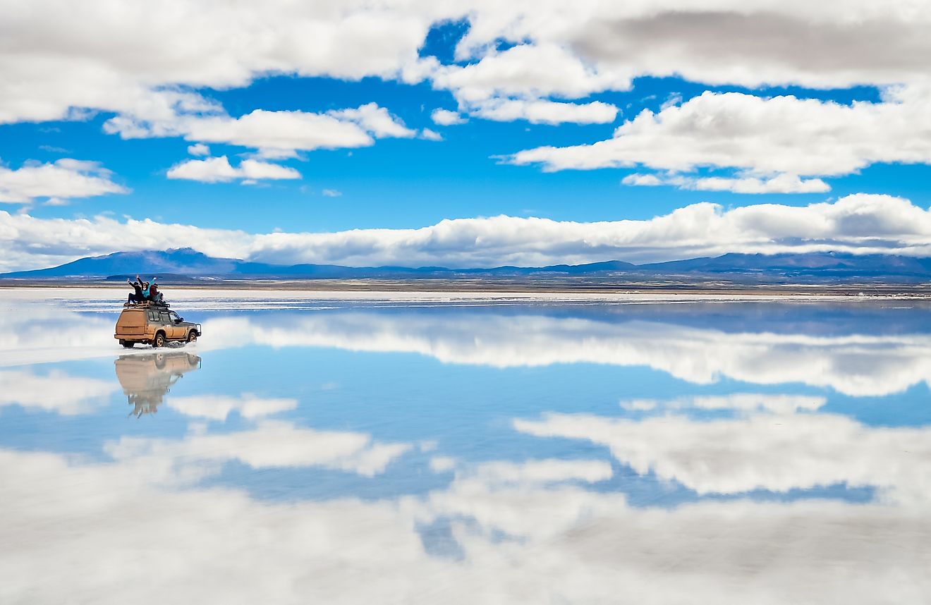
Salar de Uyuni is the world’s largest salt pan, and measures 3,900 sq miles, or 10,000 square kilometers. This huge expansive salt pan is located in southwest Bolivia, near the crest of the Andes mountains, 11,995 ft or 3,656 meters above sea level. This huge salt flat was formed under prehistoric conditions making it one of the oldest salt flats as well. The surface of the flat has a particularly thick salt crust, which measures metres deep, and coats a briney lithium-rich pool below. Like the Bonneville flats in Utah, the Salar de Uyuni plan is extraordinarily flat.
Rann of Kutch

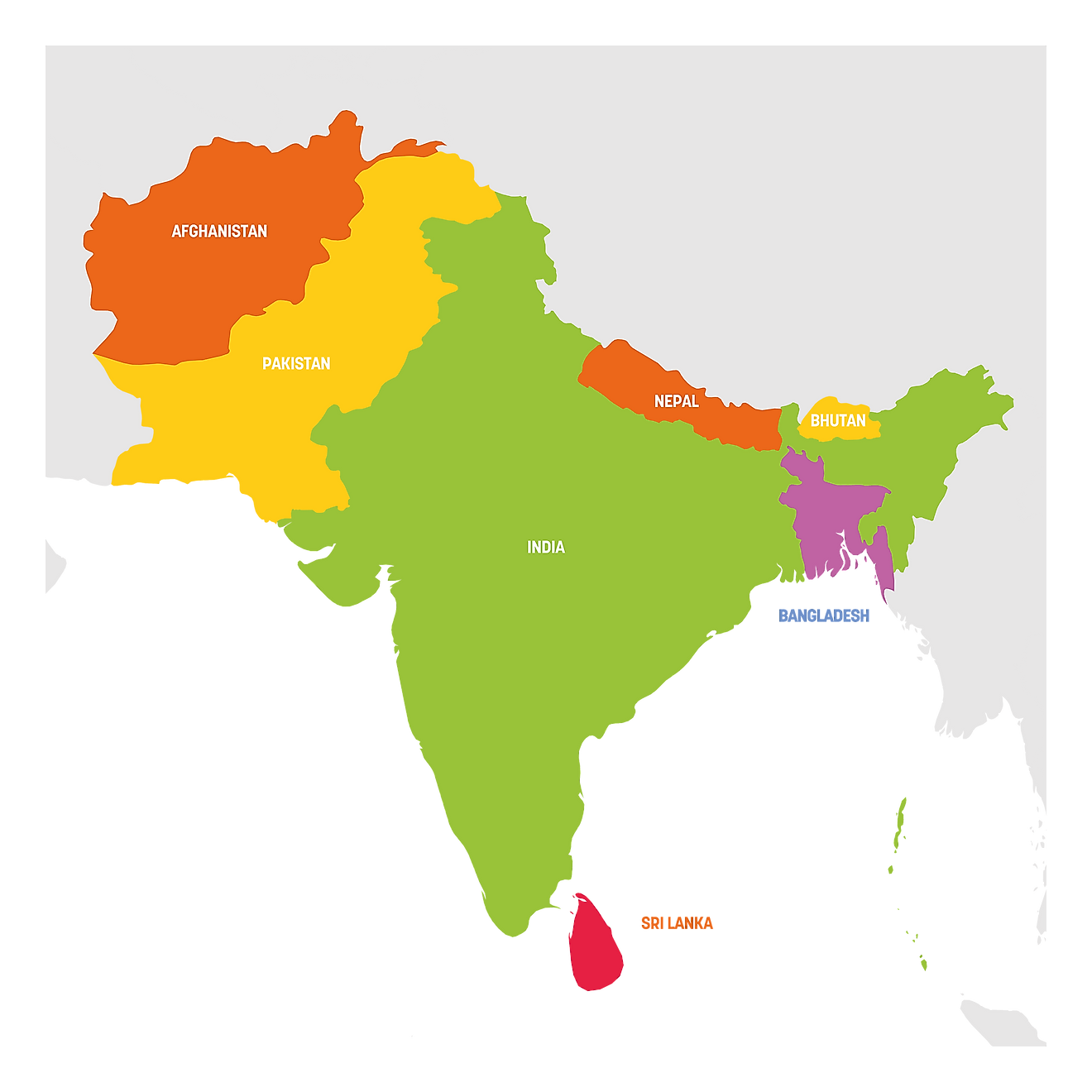
As described above, salt flats do contain shallow amounts of water at times of heavy rain, and completely dry for much of the resort of the year. However, some flats are even more seasonal, and are only dry pans at certain times of the year. Rann of Kutch is such a flat, being a salt marsh in warmer climates, and a salt pan in the winter months.The large marsh land of Rann of Kutch is located along the borderlands of India and Pakistan, in the regions of Gujarat and Sindh, respectively. The area is flat, and barely above sea level, making it highly susceptible to seasonal flooding. This monsoon season, however, only makes up a small portion of the year, the remainder of which is very dry. During the drier months, the flooded plains dry out, leaving behind expanses of salt pans.
