The 10 Lowest Places On Earth
From the highest of highs (8,849 meters/29,031 feet above sea level) to the lowest of lows (414 meters/1,358 feet below sea level), the surface of the Earth exudes an impressive range of elevations. The unstoppable forces of tectonic and volcanic activity, erosion, fierce winds, flooding, and even meteorite impacts continuously work to create such variability. The following list is all about highlighting the lowest points across the terrestrial landscape. This means that the spellbinding depths of the ocean's trenches can be found in a companion piece.
1. Dead Sea, Jordan/Israel - 414 meters below sea level

The Dead Sea, or Al-Baḥr Al-Mayyit (Arabic), or Yam HaMelaẖ (Hebrew), is a hypersaline lake that marks the lowest point on the Earth's superficial surface (414 meters/1,358 feet below sea level). This landlocked wonder is located within the Judean Desert and is part of both Israel (Western half) and Jordan (Eastern half). The Dead Sea is nestled between the hills of Judea (to the West) and the Transjordanian plateaus (to the East). The lake's depth continues to drop by about one meter per year, and because the Jordan River has been long since diverted (creating a net-negative flux), the water levels have also been steadily receding.
2. Lake Assal, Djibouti - 155 meters below sea level

Djibouti is a small African nation encompassed by Southern Eritrea and the Red Sea (to the North), Eastern Ethiopia (to the West), Northwestern Somalia (to the Southeast), and the Gulf of Aden (to the East). Near the center of the country, a sizable and corrosively salty (35% salinity) crater lake called Lake Assal (or Lac 'Assal) plunges to 155 meters (509 feet) below sea level. This endorheic lake sits at the top of the Great Rift Valley, is part of the Tadjoura Region, borders on the Dikhil Region, and falls within the Afar Lowland (or Depression).
3. Turpan Pendi, China - 154 meters below sea level

The lowest point in China and the third-lowest terrestrial point in the world can be found at 154 meters (505 feet) below sea level, within the Turpan Depression (or Turfan Depression, Turpan Basin, Tulufan Pendi). This 20,000 square-mile (50,000 square-kilometer) formation exists within the Uygur Autonomous Region of Xinjiang in Northeastern China. The basin is irrigated and well-utilized as farmland. The city of Turpan is located in the Northern part of the Turpan Depression, which is also a point along the famed Silk Road.
4. Qattara Depression, Egypt - 133 meters below sea level

Located in Northwestern Egypt, in the Libyan Desert (part of the Eastern Sahara Desert), the Qattara (or Qaṭṭārah) Depression slouches as low as 133 meters (435 feet) below sea level. This 7,000+ square-mile (over 18,100 square kilometers) footprint-shaped basin/sinkhole is marked by salt lakes, marshes, salt pans, and sand dunes. It formed over thousands of years as the rock eroded into the sand and was blown away by the strong winds of the Sahara.
5. Vpadina Kaundy, Kazakhstan - 132 meters below sea level

Vpadina Kaundy is the lowest point within the Karagiye Depression (or Karagiye Mountain Trench). This 25-mile (40-kilometer) long karst trench is located in Western Kazakhstan, on the Mangyshlak Peninsula, near the shore of the Caspian Sea. It hits a minimum elevation of 132 meters (433 feet) below sea level, which makes it the lowest point in Central Asia and the former Soviet Union. The trench formed after an ever-growing network of potholes, funnels, and caves collapsed.
6. Denakil, Ethiopia - 125 meters below sea level

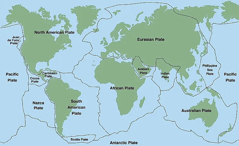
The Denakil Depression (also spelled Danakil and also known as the Afar Depression) is located in the Danakil Desert of Northeastern Ethiopia, near the Southeastern border of Eritrea - all of which are part of the Horn of Africa. Denakil formed at 125 meters (410 feet) below sea level, where the Indian, African, and Arabian tectonic plates converge. This area was once part of the Red Sea before volcanic activity created an isolated inland sea, which gradually evaporated from the scorching heat (which still exceeds 122 Fahrenheit/50 degrees Celsius).
7. Laguna del Carbón, Argentina - 105 meters below sea level

Laguna del Carbón (or "Coal Lake") sits 105 meters (344 feet) below sea level, making it the lowest point in Argentina, as well as both the Southern and Western Hemispheres. It is found within the Province of Santa Cruz, and the Department of Corpen Aike, near the Patagonian town of Puerto San Julian. Laguna del Carbón also falls within the broader geographical area known as San Julian's Great Depression. Similar to the Salton Sea, Coal Lake is salty and endorheic.
8. Death Valley, United States - 86 meters below sea level

Death Valley, in Eastern California, United States, is the hottest place in the world, one of the driest regions in the United States, and is the site of the lowest point in both the country and the continent. This region of the Mojave Desert typically receives fewer than 2-inches of rain each year, and in the Summer of 1913, the thermometer registered a sizzling, world-record-setting 134-degrees Fahrenheit (56.7 Celsius). The powdery-white, salty floor of Death Valley's Badwater Basin registers a minimum elevation of 86 meters (282 feet) below sea level.
9. Vpadina Akchanaya, Turkmenistan - 81 meters below sea level
Vpadina Akchanaya is part of the Akdzhakaya Depression in Northern Turkmenistan. It measures 81 meters (266 feet) below sea level. This arid region is located in the Daşoguz Region (or Province), within the boundary of the Karakum Desert. The closest major city is Daşoguz (or Dashoguz) to the East, and the border of Western Uzbekistan thoroughly arches to the North.
10. Salton Sea, United States - 69 meters below sea level

The Salton Sea is a saline lake located along the San Andreas Fault in Southern California, United States. This shallow, endorheic body of water was artificially (and accidentally) formed in 1905, just South of the well-known Joshua Tree National Park and Southeast of the resort city of Palm Springs. The lake sits at approximately 69 meters (226 feet) below sea level, making it the second-lowest point in the country and the continent of North America.
As it turns out, sea level is more of a suggestion than a set-in-stone starting point for the terrestrial landscape. Various natural and artificial forces, combined with the help of some geographical barriers, allow these deep anomalies to form across most corners of the globe.


