Explore the Most Iconic Mountain in the Canadian Rockies
Mount Assiniboine is not just a uniquely beautiful peak in the Canadian Rockies; it is an incredibly popular hub for outdoor adventure of all kinds throughout the year. Whether you are itching for a multiday hike or want to snap the perfect sunset photo of the mountains, the iconic geographical feature on the border of British Columbia and Alberta is a must-visit natural wonder in western Canada. We'll discuss the interesting geography of the area, the best ways to access the mountain, and top nearby accommodations for your stay.
Geography of Mount Assiniboine
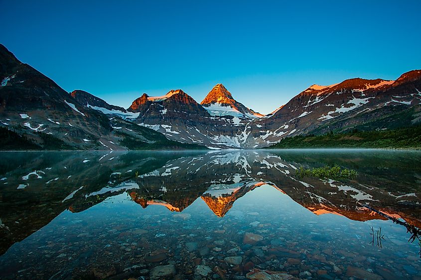
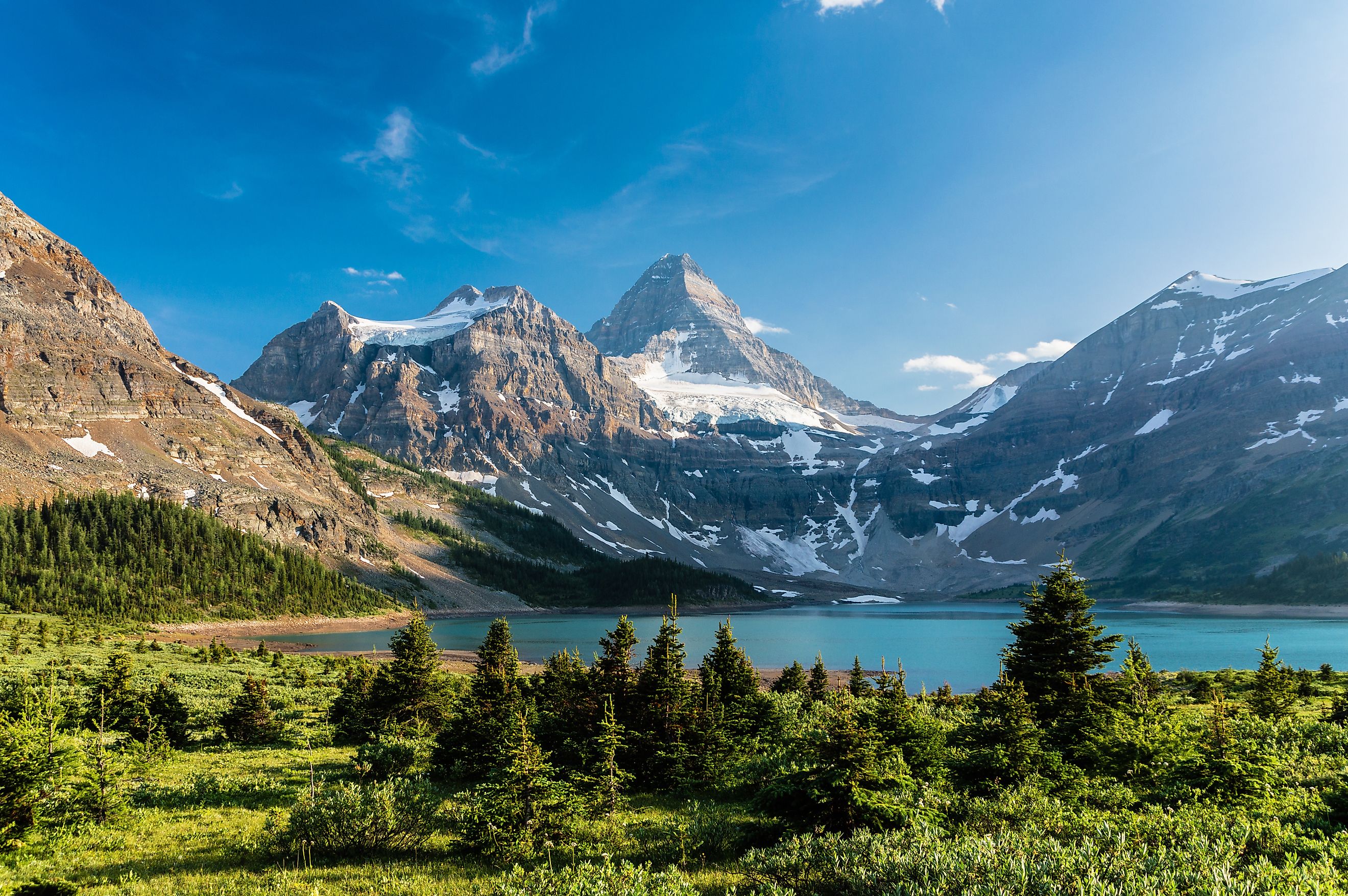
Mount Assiniboine is often referred to as the "Matterhorn of the Rockies" due to its resemblance to the famous mountain in the Swiss Alps. As mentioned, it is located on the border between British Columbia and Alberta, Canada, in the Canadian Rockies. Standing at 11,870 feet, it is the highest peak in the southern portion of the Continental Ranges. The mountain lies within Mount Assiniboine Provincial Park, a UNESCO World Heritage Site.
Geographically, Mount Assiniboine anchors the surrounding landscape with its distinct symmetrical, pyramidal shape, making it a landmark visible from great distances. The mountain is surrounded by several notable glaciers, including the Assiniboine Glacier to the north, which contributes to the region's glacial lakes, such as Lake Magog and Lake Sunburst. These lakes, characterized by their eye-catching turquoise waters, are fed by meltwater from the mountain's ice fields.
Mount Assiniboine's location also straddles what is known as the Continental Divide (or Great Divide), the hydrological boundary separating waters flowing into the Pacific Ocean from those draining into the Atlantic. The mountain is composed primarily of sedimentary rock, including limestone and dolomite, which were laid down during the Precambrian to Jurassic periods.
Hiking to Mount Assiniboine
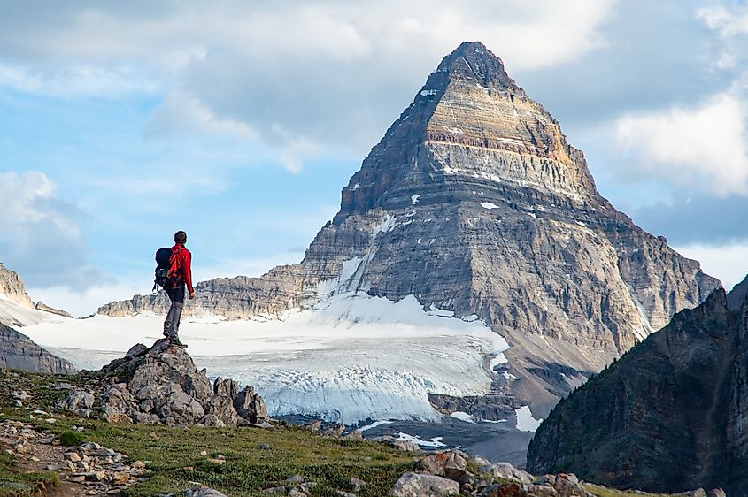
Hiking to Mount Assiniboine is a challenging but rewarding experience, offering access to one of the most scenic regions of the Canadian Rocky Mountains. For many, it is considered a bucket list hike, but to get there, you really need to know what you're doing. There are no roads leading directly to the mountain, so visitors must arrive on foot, by helicopter, by bike, or even by skiing in winter.
One of the most common hiking routes starts at the Mount Shark Trailhead in Kananaskis Country, Alberta, requiring a 17-mile trek to reach the Assiniboine Lodge and surrounding campgrounds. This usually entails a two-day to three-day journey (round trip). This route to Mount Assiniboine follows the Bryant Creek Trail for the first section, a relatively gradual ascent through dense forests and meadows. As you progress, you will encounter steeper sections and open alpine terrain, including the picturesque Marvel Pass and Og Lake. Along the way, the route is a treasure trove of viewpoints of the surrounding peaks, glaciers, and valleys, making it a favorite for landscape photographers.
For those seeking a steeper alternative, the Sunshine Village route begins in Banff National Park and also covers approximately 17 miles. This path includes more amazing mountainous scenery through the Sunshine Meadows and connects to the Assiniboine area via Citadel Pass.
Both routes demand physical fitness and preparedness, as you should expect significant elevation gains, unpredictable weather, and wildlife encounters. Proper equipment, maps, and navigation skills are essential for a safe and enjoyable journey. This includes lugging along enough food and water (and/or water purifying devices), shelter, multiple changes of clothes, and bear spray. Please also note that campers must reserve in advance for designated backcountry sites.
Staying in the Area?
Besides camping on the trail itself, there are cozier and more modern options for those who want to stay nearby for a night or two. Here are some of the best spots to find overnight accommodations close to Mount Assiniboine.
Banff Sunshine Village Ski & Snowboard Resort

About as close to Mount Assiniboine as you can get before hitting the trail, this famous resort is a huge draw for tourists year-round, whether you are looking to go skiing or simply need a comfortable room to sleep in. The hotel here will bring a touch of luxury to your trip, with restaurants, shops, and outfitters located in and around its premises. As mentioned before, Sunshine Village is also an excellent starting point to get to Mount Assiniboine, with a number of trailheads located nearby. The resort is less than a 13-mile drive from the town of Banff, making it easily accessible from the Trans-Canada Highway.
Banff
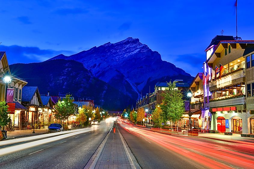
Banff is an ideal base for visiting Mount Assiniboine, with many more options in the way of accommodations. Located just about 21.5 miles directly northeast of Mount Assiniboine, the town of Banff offers hotels, dining, and outdoor gear shops for a number of budgets, making it convenient for hikers preparing for their trek. The town itself is an attraction of its own, with iconic hotels like Fairmont Banff Springs and the downtown area being full of fun things to see and do. If you're feeling sore and tired after a long hike, the Banff Upper Hot Springs located nearby welcomes weary travelers with its naturally fed, mineral-rich waters.
Driving to Mount Assiniboine
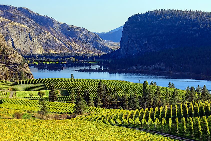
Mount the area around Mount Assiniboine can be accessed from either the east or west. Calgary is the nearest big city to the east. This Albertan metropolis sits about a two-hour-plus drive from the Mount Shark Trailhead, which sits just off Highway 742 (accessible from the Trans-Canada Highway junction near Canmore). Furthermore, it is only about a 1.5-hour drive from Sunshine Village, again via the Trans-Canada Highway. If you're coming from Castle Junction, it is about a half-hour drive to Sunshine Village and a two-hour drive to the Mount Shark Trailhead. If you're thinking about driving from Vancouver, you're looking at a roughly 11-hour drive to arrive at the area around the mountain. This trip will take you through the scenic Okanagan Valley in south-central B.C., a wonderful region with excellent weather. Plus notable cities, like Kelowna and Kamloops, are within reach along the way.


