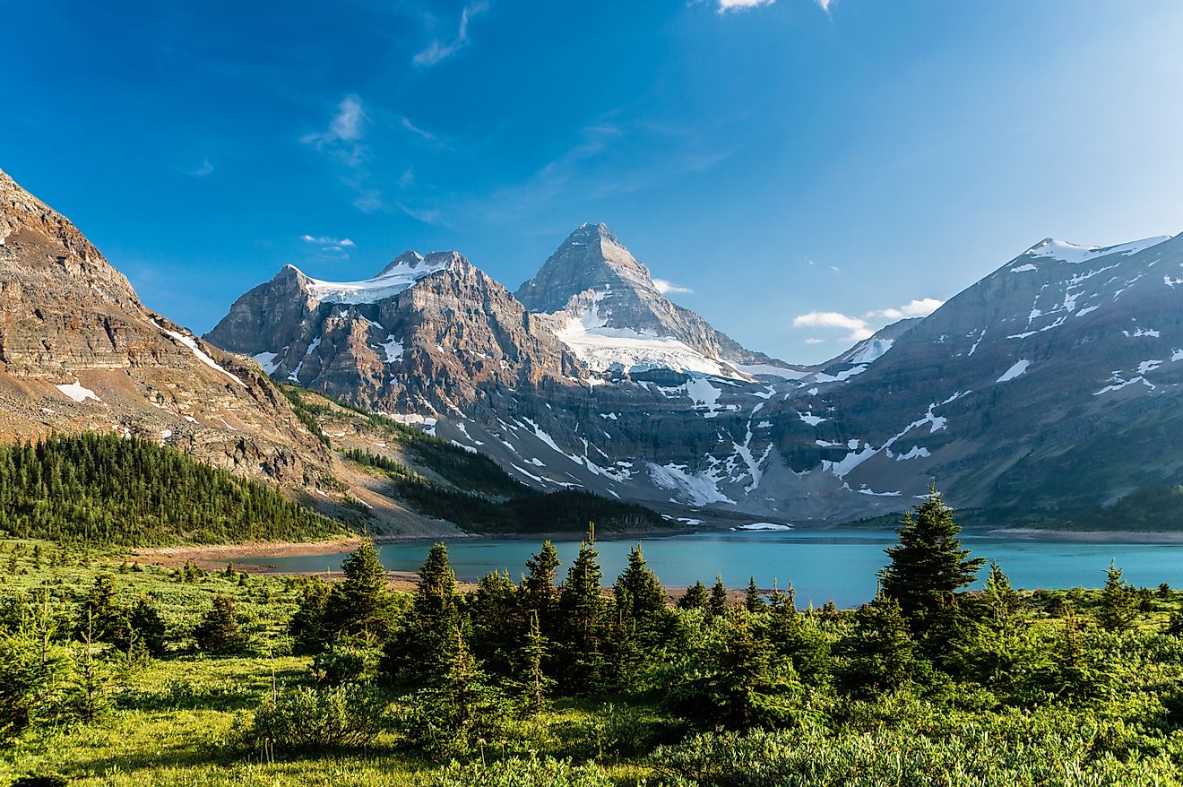
Aeolian Islands
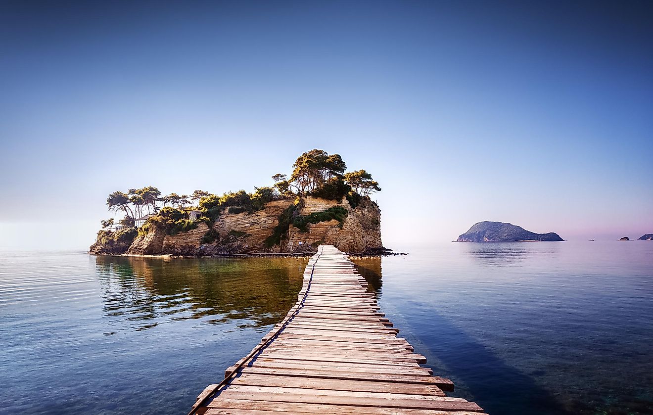
The Aeolian Islands are a volcanic archipelago located just off the northern coast of the Italian island of Sicily in the Tyrrhenian Sea. The islands have been named after Aeolus, the demigod of the winds in Greek mythology. The archipelago covers a total land area of 114.7 km2 and comprises seven principal islands and numerous small rocky islets.
Geography

The seven principal islands in the archipelago include Alicudi, Filicudi, Lipari, Panarea, Salina, Stromboli, and Vulcano. Geologists believe that the Aeolian archipelago is a volcanic arc and its islands were formed as a result of shifting plate tectonics in the Tyrrhenian Basin. The islands of Vulcano and Stromboli are active stratovolcanoes and thermal waters and fumaroles are found on the other islands.
During the summer months, the Aeolian islands serve as a popular tourist destination and attract approximately 600,000 visitors annually. The islands form a part of the Province of Messina in Sicily and have been designated as a World Heritage Site by UNESCO in 2000.
Lipari
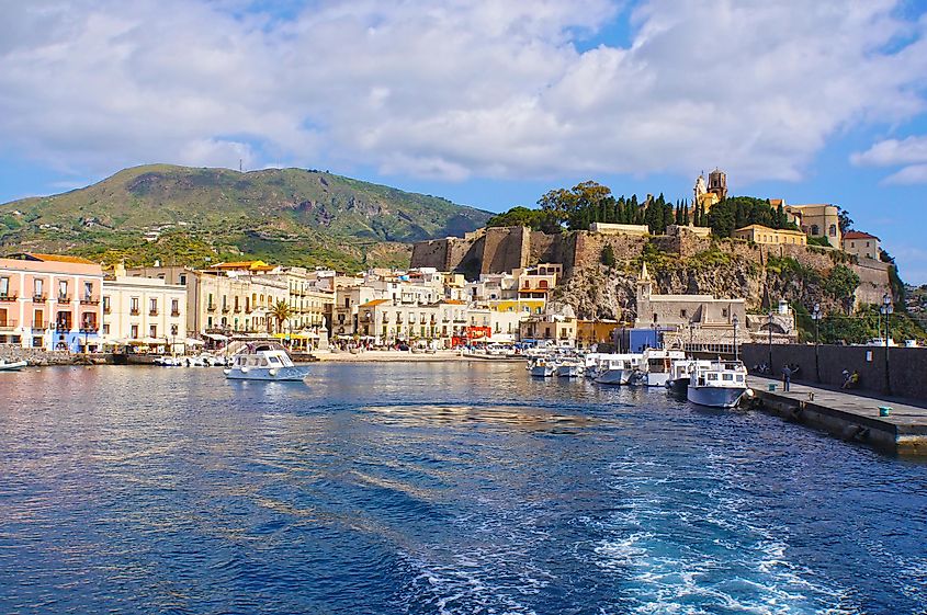
Covering an area of 37.6 km2, the island of Lipari is the largest island in the entire Aeolian archipelago. Lipari is also the name of the island’s principal town. Geologists have estimated that the island of Lipari was formed as a result of four successive volcanic movements thousands of years ago. Monte Chirica, which rises to an elevation of 602 m, is the highest point on Lipari Island. In addition to the principal town, the island also hosts four main villages with permanent residents. These villages include Pianoconte, Quattropani, Acquacalda and Canneto. Due to volcanic eruptions, a major part of the island is covered by obsidian and pumice. Pumice mining serves as the island’s major economic activity and pumice from the Lipari island is exported worldwide.
Salina
Covering an area of 27 km2, Salina is the second-largest island in the Aeolian archipelago. The island is made up of six volcanoes of which Monte Fossa delle Felci, which rises to an elevation of 968 m, is the highest point. Different types of floral species are grown on the island including grapes, capers, and olives. The slopes of the island’s mountains are covered by chestnut trees, poplars, ferns, prickly pear cactus, and vineyards, and hence the island appears green when observed from a distance. It was the first island in the Aeolian archipelago to establish a nature reserve to protect its pristine natural environment. Salina is also famous for the production of Malvasia, a type of white wine.
Vulcano
Covering an area of 21 km2, the small volcanic island of Vulcano forms the southernmost island in the Aeolian Archipelago. The island features an active volcano along with many volcanic calderas which are spread across the island’s landscape. The last major volcanic eruption on the island took place in 1888. The island hosts its permanent residents in three localities namely Vulcanello, Vulcano Piano, and Vulcano Porto. Various thermophile and hyperthermophile organisms are also found on this volcanic island.
Stromboli
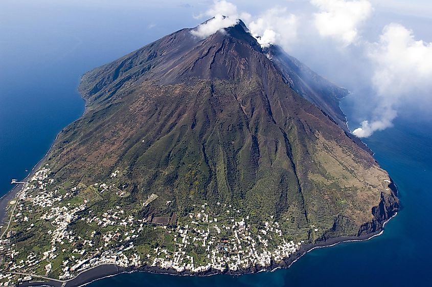
Covering an area of only 12 km2, the small island of Stromboli comprises an active volcano named Mount Stromboli that has a history of several eruptions. Due to the continuous minor eruptions of the volcano in recent years, Stromboli Island has been nicknamed the “Lighthouse of the Mediterranean.” The island hosts a population of only 500 residents in the small villages of Ginostra, San Bartolo, and San Vincenzo.
Filicudi
Covering an area of only 9.5 km2, the island of Filicudi is located about 56 km northeast of Sicily. Monte Fossa Felci, which rises to an elevation of 774 m, is the highest point on the island. About 7 km2 of the island was converted to a Natural Reserve in 1997. Vegetables, grains, olive oil, and wine are cultivated on the island. Valdichiesa and Pecorini Mare are two of the small villages on Filicudi Island.
Alicudi
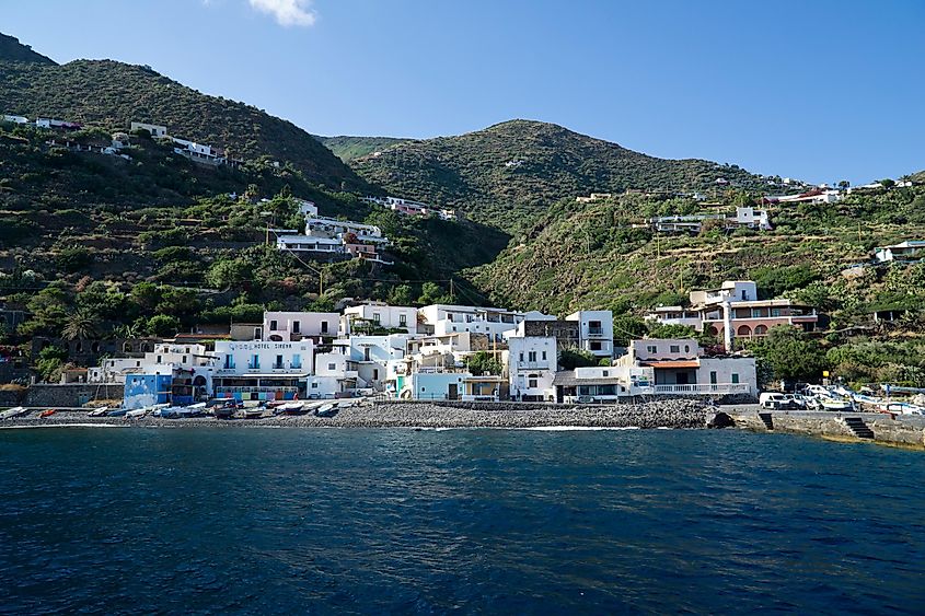
Covering an area of 5.2 km2, the small island of Alicudi forms the westernmost island in the Aeolian archipelago. Geologists have estimated that the island was formed about 150,000 years ago from the extinct Montagnola volcano. The island hosts about 120 residents who rely on agriculture and fishing activities for sustaining their livelihoods.
Panarea
Covering an area of only 3.4 km2, Panarea is the smallest island in the Aeolian archipelago. Punta del Corvo, which rises to an elevation of 421 m, is the highest point on Panarea island. Thermal springs are found on the island and scuba diving is a popular recreation activity for tourists.
Brief History
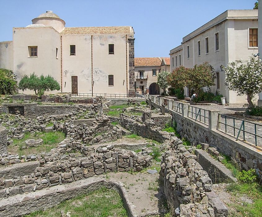
Archaeological excavations have revealed that the Aeolian islands have been continuously inhabited since the Neolithic Period. During this period, obsidian was the island’s major manufactured product for export. During the Bronze Age, the villages on the islands prospered by maritime commerce in the neighboring areas as well as to the British Isles. The Aeolian Islands were occupied by the Greeks (Ausonians) at the beginning of the sixth century BCE. A Carthaginian naval station was established but eventually, the islands were conquered by the Romans in 252 BCE. The Aeolian islands were controlled by the Germanic Visigoths, Vandals, and the Ostrogoths after the fall of the Roman Empire. Following the Germanics, the islands were then taken over by the Byzantines. In 1061, the Aeolian Islands were occupied by the Normans. In the following years, the islands were frequently occupied by the Angevins and the Sicilian rulers. In the 15th century, the Aeolian Islands finally became a part of Sicily.
