Danube Delta
The Danube Delta is the second-largest and the best-preserved river delta in the continent of Europe. The Danube Delta covers a total area of 5,165 sq. km, the significant portion of which is situated in the Tulcea County of Romania, while the remaining small portion is located in the Odessa Oblast of Ukraine. The Razim-Sinoe lagoon complex located in the southern part of the main delta is both ecologically and geologically related to the Danube Delta. The Danube Delta and the lagoon complex's combined territory have been designated a natural UNESCO World Heritage Site and a Wetland of International Importance.
Geography Of The Danube Delta
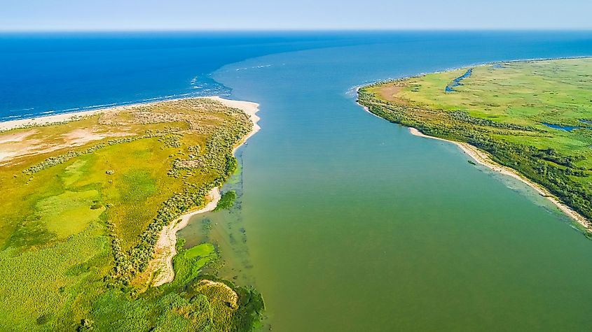
It is believed that the modern Danube Delta started to form after 4000BCE in a bay of the Black Sea, after the rise in the sea level. A sandy barrier blocked the Danube Bay at the site where the Danube River originally formed its delta. After 3500 BCE, the Danube Bay was filled with sediments, and the river delta spread beyond the barrier-blocked bay and started building various lobes. The Danube River divides into three significant distributaries in the delta. These include the 120km long Chilia or Kiliya branch, the 64km long Sulina branch, and the 70km long Saint George branch. The Sulina and Saint George Branches combine to form the Tulcea channel, which continues a single body of water for several kilometers after separating from the Chilia branch. Lake Dranov, Lake Rosu, and Lake Gorgova are some of the largest lakes in the Danube Delta. The Danube Delta is roughly triangular in shape and has an average altitude of about 0.52m. Many internal lobes have also been constructed in the lakes and lagoons surrounding the Danube Delta in the north and south. The Danube Delta continues to expand as the gradual formation of new land takes place at the mouth of each of these channels.
Climate
The Danube Delta experiences a continental climate and is Romania’s driest and sunniest region. The Black Sea strongly influences the delta’s climate, and its average annual temperature is about 11°C, with the average precipitation ranging between 300 to 400mm per year. Due to the high evaporation rate, long periods of drought occur in the region during the summer months. The northwest winds also cause frequent storms during the spring and autumn seasons.
Ecology Of The Danube Delta
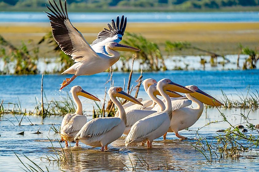
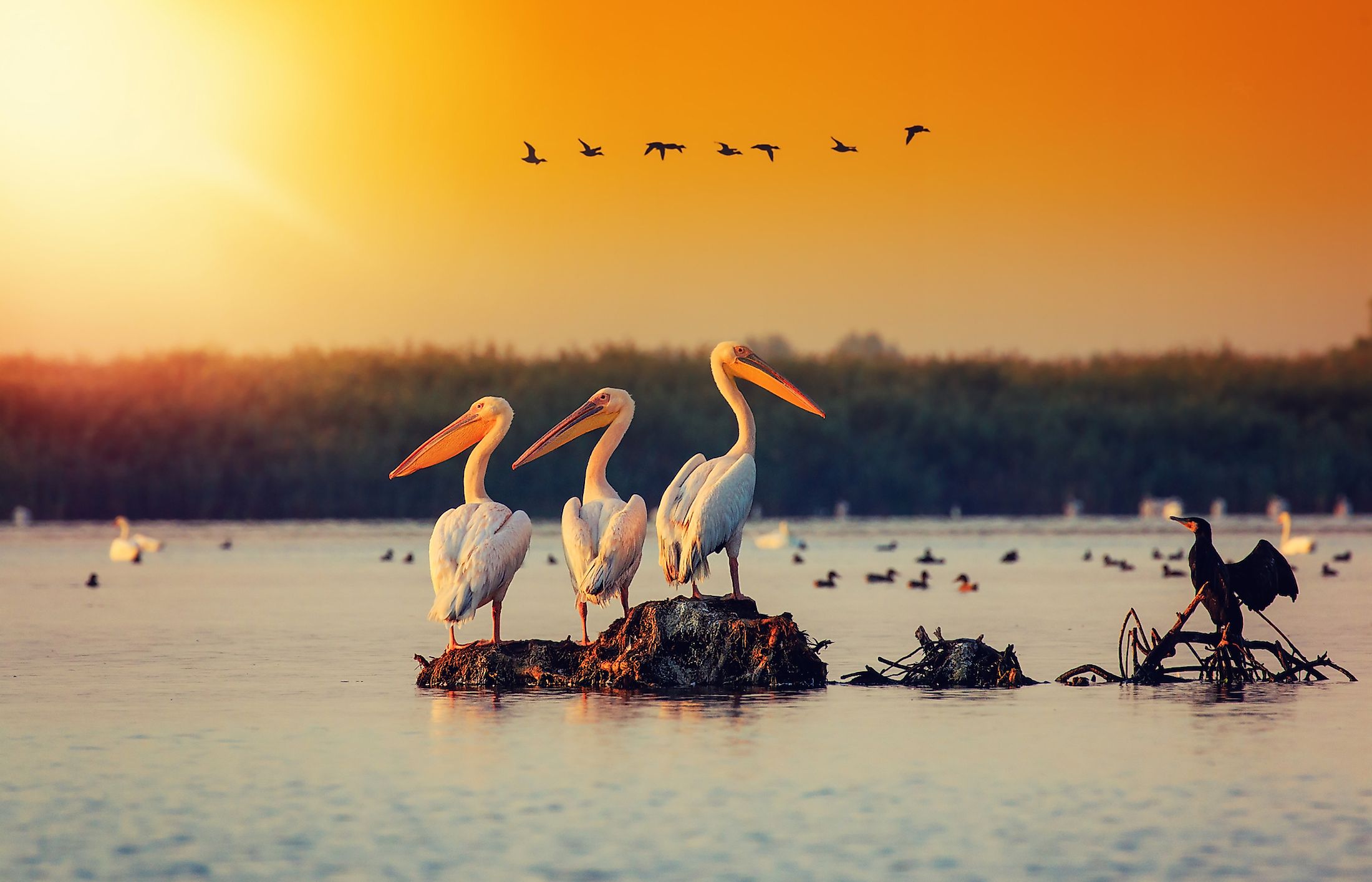
The Danube Delta is a low alluvial plain mainly covered by water and wetlands and consists of a complex landscape made up of an intricate network of river channels, marshes, lakes, streamlets, dunes, steppes, lagoons, reed-beds, and alluvial forests. The Danube Delta is Europe’s last remaining natural wetland and features a rich floral and faunal diversity with several rare species. The Danube Delta also provides suitable conditions necessary for nesting and hatching and, therefore, attract many resident and migratory avian species to the deltaic region. In addition to this, many fish species, such as pike perch, sturgeons, sheat-fish, etc., are found in the numerous lakes and marshes of the Danube Delta. Some mammals found in the deltaic region include European hare, European mink, wild boar, Eurasian otter, wild cat, etc.
Brief History Of The Danube Delta
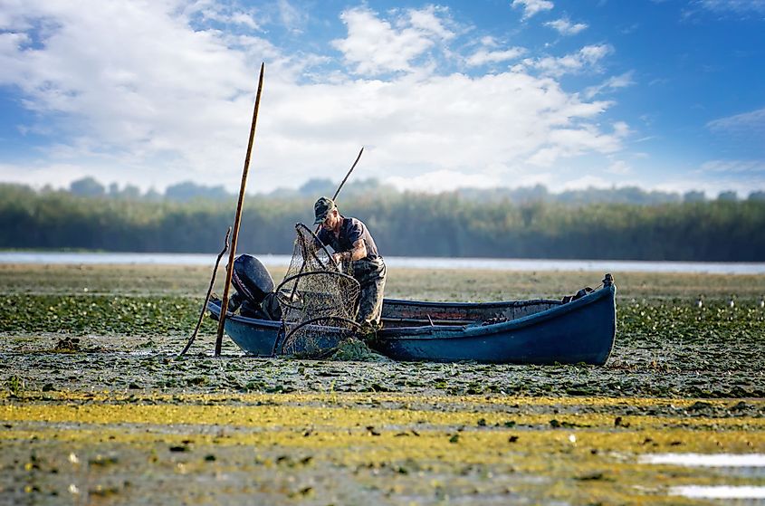
The Dacians initially inhabited the Danube Delta region before the Romans occupied the area. The Danube Delta region formed a part of the Ottoman Empire during the 15th century. After the Russo-Turkish War in 1812, the Kilia and the Old Stambul channels of the Danube Delta served as the boundary between the Russian and the Ottoman Empires. As per the 1856 Treaty of Paris that ended the Crimean War, the Danube Delta was assigned to the Ottoman Empire. After the defeat of the Ottoman Empire in 1878, the boundary between Russia and Romania was set by the Kilia and Old Stambul Channels of the Danube Delta. The Romanian portion of the Danube Delta in 1991 was designated as a natural UNESCO World Heritage Site and a Ramsar Wetland. In 1998, about 6,264.03 sq. km area of the Danube Delta was declared a UNESCO Biosphere Reserve shared between Romania and Ukraine.


