Don River
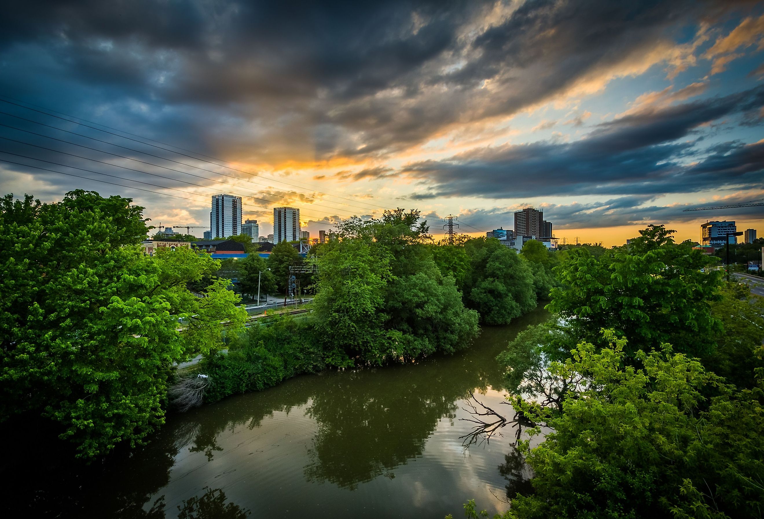
The Don River is a waterbody located in southern Ontario, near the province’s capital of Toronto. Covering an area of about 36,000 hectares and stretching for 38 km, the Don River watershed is one of Canada’s most urbanized watersheds. It is home to about 1.4 million people, yet functions as a vital backdrop for local wildlife, from flora to fauna. For centuries, the Don River was a source of inspiration for many people, functioning as a nature-filled escape from Toronto’s busy streets. However, intense urbanization and human activities around the Don River have caused from environmental concerns.
Course of the Don River
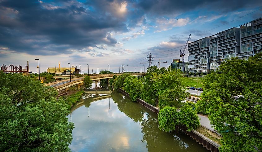
The Don River flows from its headwaters at the Oak Ridges Moraine. These headwaters flow south into the Ontario communities of Vaughn, Richmond Hill, Markham, and York. The East and West portions of the Don River cross the Toronto street, Steeles Avenue, and eventually rejoin at the Iroquois Sand Plain at Eglington Avenue (another city street). Meanwhile, the waters of German Mills and Taylor/Massey Creeks flow into the East Don River. Eventually, the Don River flows into the Keating Channel, and ultimately empties out into Lake Ontario from the Toronto Harbor.
History of the Don River
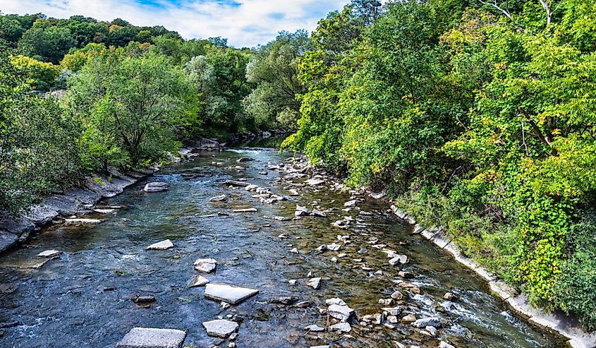
Formed thousands of years ago from an ice age, The Don River and its surrounding valley experienced human activity that dates back to approximately 7,000 years! The Don Valley was home to multiple Indigenous communities, as they recognized the watershed’s vitality. By 13th century, Wendat longhouses villages were established along the waterway. Meanwhile, by the 17th century, the Mississaugas also moved in the area.
Unfortunately, in 1787, the “Toronto Purchase” resulted in the Mississaugas surrendering most of the land to the British, which would later become Toronto (In 1986, Mississaugas opened a land claims settlement against the Canadian government, which resulted in a settlement of $145 million to the Mississaugas).
In 1793, The Don River was named by Lieutenant-Governor Simcoe, likening this Canadian river to the River Don in Yorkshire, England. The river went by other nicknames, including “Necheng Qua Kekong” by Crown Suveyor Alexander Aiken. Alexander used this nickname for the first English maps to identify the river.
Throughout history, the Don River and the surrounding valley played a crucial role in developing Toronto. From the 1790s to early 1800s, the Don River supported its growing community due to its industrial activities in timber, clay, and water for milling operations.
In 1795, Toronto’s first sawmill was built. Soon after, the area also developed a paper mill and brewery. In the 1800s, rails were built around the area by the Canadian Pacific Railway. In 1889, the Don Valley Brick Works were built to create bricks out of the area’s clay deposits. By the late 19th century, other industries like tanneries, oil refineries, and slaughterhouses were developed around the Don River. Other urbanization and commercialization activities also happened around the Don River area, which also functioned as a ski hill, a “bare-bottomed” beach, and an area for vacation home. Collectively, these human activities contributed to the growing pollution of the Don River, which used the river as a “dumping grounds” for industrial waste and sewage.
Ecology Around the Don River
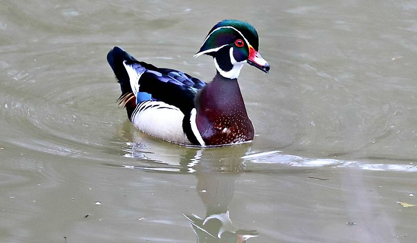
The Don River is considered a wildlife corridor in Toronto. The corridor functions as a greenspace, encouraging wildlife movement (from one area to another), while acting as breeding grounds, home, and territory for local wildlife. Common species found in the Don River include deer, fox, raccoons, coyotes, muskrats, and beavers. Bird species like the Great Blue Heron, cormorants, ospreys, and red-winged blackbirds have also been identified in the area. A diverse range of floral species are also present around the Don River (which can easily be seen along its network of trails) and include oak, maple, cedar, and birch trees.
Environmental Concerns Around the Don River
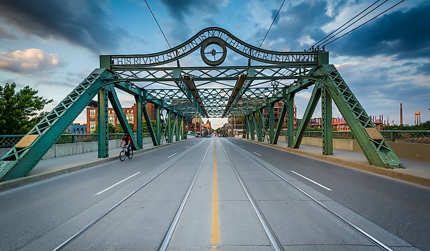
Today, there is very little undeveloped land around the Don River. Most of the land has been used to housing and commercial development. As it is one of the most urbanized watersheds in Canada, intense urbanization activities have caused some environmental concerns around the Don River. These activities have also affected the river’s natural features and functions.
Human activities have reduced the Don River watershed’s forest cover ranges, which can be considered “poor to very poor” and negatively impacting the local ecosystem. The prominence of paved surfaces around the Don River provides minimal opportunities for stormwater to seep into surrounding soils or uptaken by native vegetation. Stormwaters end up as runoff into the Don River, which increases streambank erosion and flooding events during storms. Occassionally, large storms can also cause Toronto’s sewers to overflow from excessive runoff, negatively affecting the Don River’s water quality. The water quality within heavily urbanized areas of the Don River have experienced high levels of contents like phosphorus, nutrients, chlorides, salts, and E.coli.
These environmental concerns have prompted concerned citizens, local organizations, and proposed projects to support restoring the Don River watershed back to its former glory.
Though the Don River may not be as expansive as India’s River Ganges or the Nile River in Egypt, its existence is vital to the environment and community surrounding the Don River Valley. Unfortunately, major human activities over the years have negatively impacted the environment around the Don River, encouraging locals and conservationists to advocate for maintaining this waterway’s natural beauty.


