Kennebec River
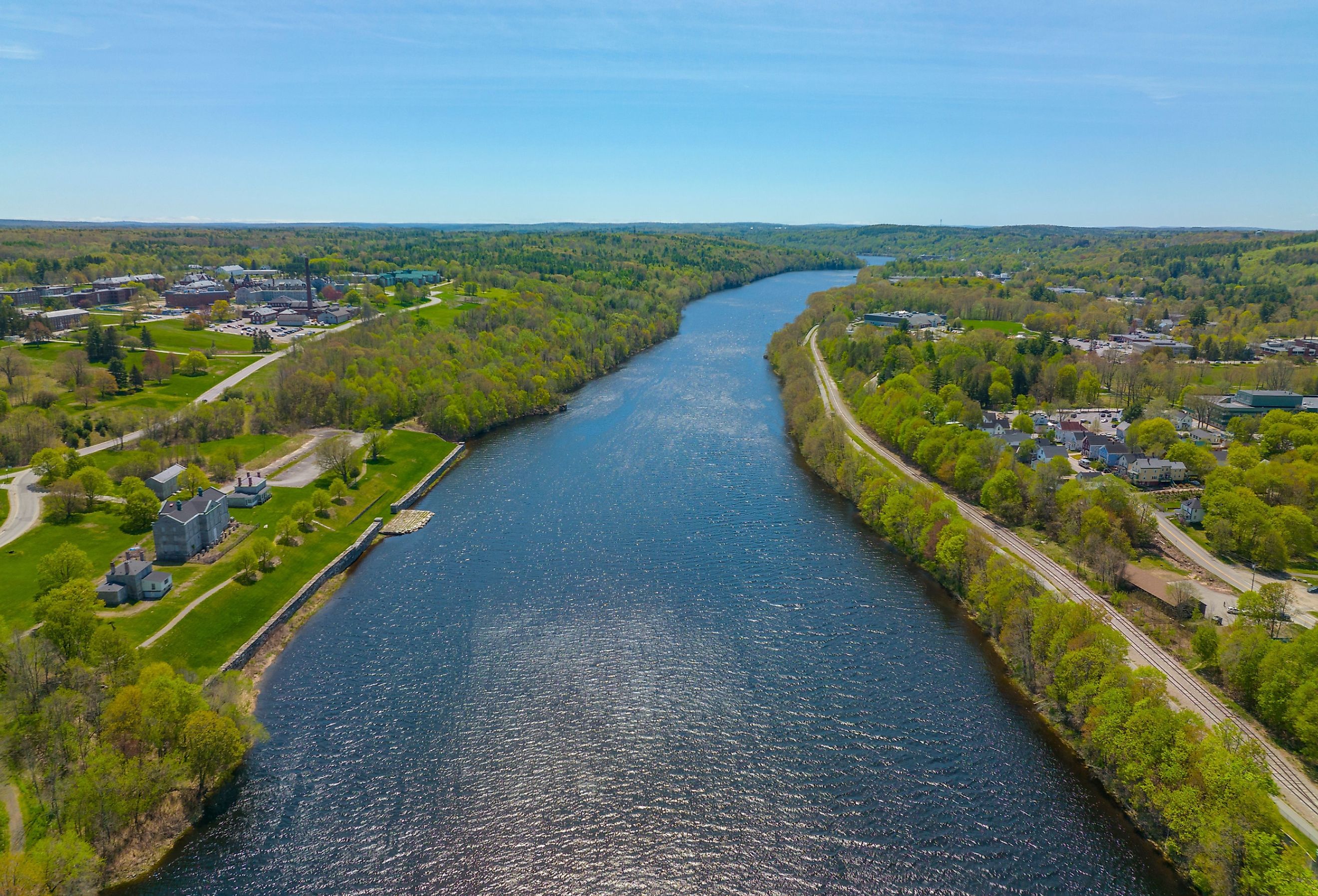
The state of Maine is is an eastern state, famous for lobsters and whale watching. Maine’s Kennebec Valley is home to cities, riverside towns, and lakeside communities along the shores of the Kennebec River. The river and its many tributaries, ebb and flow through cities and towns providing a consistent waterway.
Over centuries, the Kennebec River's rushing waters have been a source of hydraulic power used for transportation, fishing, and recreation. Scenic drives, hiking through trails, and thrilling water activities welcome visitors to choose their adventure.
Deriving from the Abenaki Tribe's word kínipeck, meaning "large body of still water", the Kennebec River continues to be a vital water resource covering most of Maine.
Course of the Kennebec River
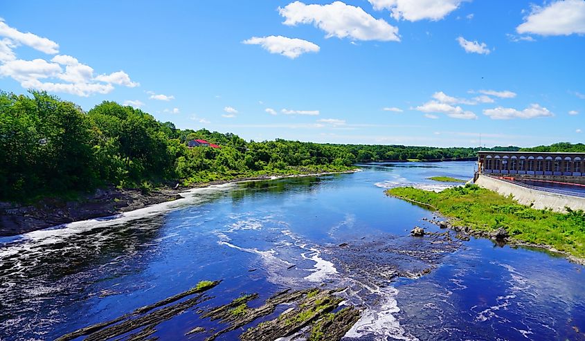
The river rises at Moosehead Lake, running south over 170 miles, and draining into the Atlantic Ocean. Along its course, the Kennebec River divides into two basins, the upper basin and the lower basin.
The upper basin flows south from Moosehead Lake, into Indian Pond. Within the river's upper basin is the Harris Station Dam, Maine's largest hydroelectric dam.
As the river curves towards The Forks, Moxie Stream flows east from the river towards Moxie Pond. At Forks, the tributary Dead River, also called the West Branch River, branches from the Kennebec River. Other tributaries of the Kennebec include the Carrabassett River, Sandy River, and Sebasticook River.
Continuing southwest adjacent to Highway 201, Kennebec River flows through Wyman Lake. The river sheds into the Kennebec River Reservoir near the town of Shawmut.
From the reservoir, the river bends and twists towards the city of Norridwock. The river then curves north, adjacent to U.S. Route 2, before bending south and flowing through the city of Waterville.
Leaving Waterville, the river continues through Richmond, into Merrymeeting Bay, a freshwater tidal bay. Exiting the bay, the river connects with the Androscoggin River before emptying into the Atlantic Ocean at Popham Beach in Phippsburg.
Local Ecology
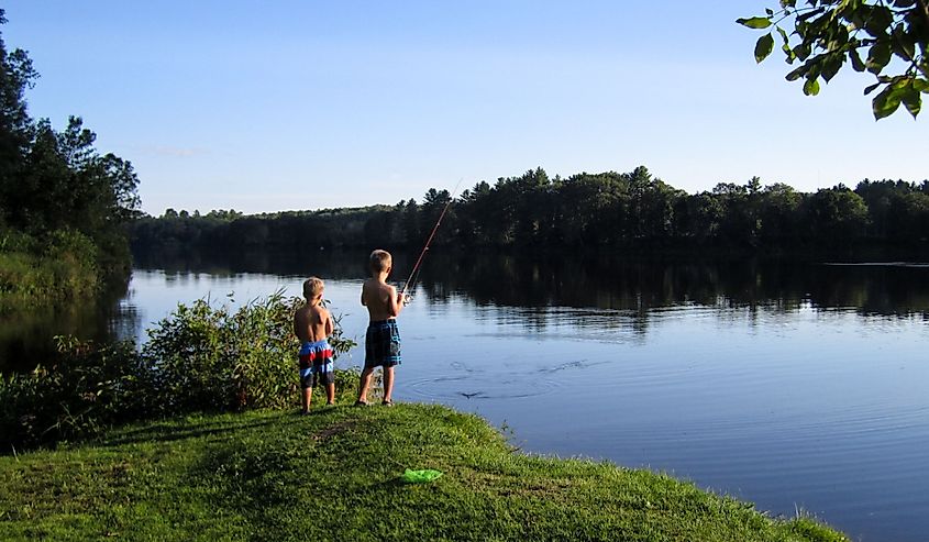
As a major river, the Kennebec River contributes to natural communities along its course. Small islands provide refuge for local birds within the river's broad waters.
At the mouth of the river in the Town of Phippsburg, Pond Island provides a refuge for the restoration of seabird populations and the protection of local wildlife. The island's 10-acre refuge is covered in grass and shrubs, a perfect environment for nesting seabirds. Audubon and Refuge biologists collect data regarding the food habits and populations of seabirds annually. Seabirds of the island include Atlantic Puffins, razorbills, and laughing gulls.
The Kennebec River and its tributaries are home to unique fish that divide their life cycle between living in fresh water and the ocean. These species of fish include Atlantic Salmon, blueback herring, striped bass, and sturgeon.
Dams along the river's course block the natural course of local fish. The block in flow dramatically changed the water's temperature and nutrient sediments. The change in the habitat prevented local fish from their natural navigation.
Environmental concerns resulted in the formation of the Kennebec River Management Plan. The plan supports the removal of dams to support the river's natural flow. In 1999, Edwards Dam was removed. Since its removal, local riverfront communities and fisheries have been revived.
Presently, the removal of four additional dams is being advocated. These dams include the Lockwood Dam, the Hydro-Kennebec Dam in Waterville, the Shawmut Dam in Fairfield, and the Weston Dam in Skowhegan.
Cities and towns of Maine are in conflict regarding the removal of dams. Waterville’s City Council voted in support of the plan. Municipal governments in Winslow, Fairfield, Skowhegan, Norridgewock, and Madison are opposed.
The dams provide more than 250 million kilowatt-hours of renewable energy yearly. Removal of these dams would allow for a free-flowing Kennebec River encouraging a natural healthy environment.
History
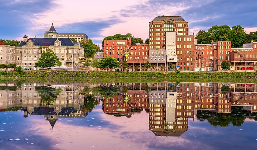
The Abenaki Natives relied on the Kennebec River for transportation and trade. When Europeans arrived in the early 1600s, they settled at the mouth of the river. Creating the Popham Colony, the colonials utilized the river for trade and continued to use the river after the colony dissipated in 1608.
The river's size and central location provided waterways to travel from central Maine to the Atlantic Coast. Ships could navigate upstream allowing the areas along the river's shores to develop into cities and towns.
In the 1800s spruce and pine wood near the river's basin were harvested. The river's constant powerful rapid waters provided a source for logging.
Small sawmills converted lumber into lumber for home and ship construction. Additional mills were constructed and lined the tributaries of the river. These included mills for textile production and grinding wheat into flour.
Requiring large quantities of water, industries for paper and textiles created waste. The growth of the paper industry enhanced water pollution by adding woody fibers and chemicals to the water. The pollution affected the water quality and the livelihood of aquatic organisms. After decades of logging, the environmental impact from mills and the completion of roads eventually ended log drives in 1976.
Roads provided the industry with efficient routes for trucks and machinery for the transportation of goods. In addition to roads, the Maine Central Railroad and U.S. 201 were constructed adjacent to the river to accommodate growing communities. The use of the railways and roads took advantage of the river's flat shoreland to transport lumber and other goods between cities and towns.
The end of logging brought a renewed freshness to the waters of the Kennebec River. The local fish once again thrived to support a productive fishery. Herring, smelt, trout, and salmon reside in the river and continue to supply locals with recreational fishing.
Tourism
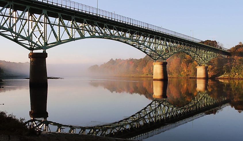
The Kennebec River provides opportunities for outdoor adventure. White water rafting, boating, and paddling welcome adventurists to enhance their outdoor experience.
Guided white water rafting is a popular Maine river trip for beginners and experienced rafters. Braving the rapids combines a serene wilderness setting with exhilarating, fast-moving water.
For a peaceful day on the water, paddling is a way to disconnect and go with the flow. Quiet activities while paddling include bird-watching bald eagles or getting a glimpse of prehistoric sturgeon breaching the river’s surface.
While drifting through the river, take a break from paddling to dine on tasty treats along the way. Local docks create accessible places to tie up and explore Augusta, Hallowell, or Gardiner.
On land, take a guided hiking tour to marvel at Moxie Falls, Maine's tallest waterfall. At 90 feet tall, Moxie Falls is stunning in all seasons. The round trip hike is 2 miles along easy terrain.
For a challenge, additional hiking opportunities along the Kennebec River include hiking the Appalachian Trail.
Summary
The history of the Kennebec River spans over centuries witnessing the progression of Maine's economic growth. Cities and towns bustle with daily activity along the river's shores, welcoming tourists to enjoy the outdoors. Local farms utilize the river's waters for the hydration of crops and livestock.
Adventurous visitors are challenged to engage in white water rafting through the river's thrilling rapids. Calmer waters are ideal for paddling and taking a pause from everyday life. Along the river's shores, hiking and birdwatching enrich the serene outdoor adventure.
The Kennebec River continues to enhance Maine's natural beauty, providing opportunities to create lasting memories.


