Where Do Artificial Satellites Orbit The Earth?
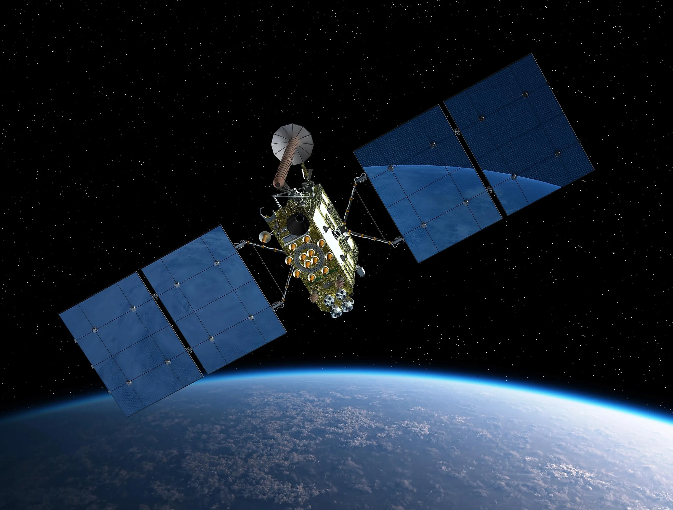
Artificial satellites are machines or devices launched into space to orbit the Earth or other bodies within the cosmos. As of March 2025, 11,847 active satellites are orbiting the earth, providing the ability to view and access vast areas of the Earth's surface at any given time. This capability allows satellites to rapidly collect extensive amounts of data, outperforming instruments based on the Earth's surface. Beyond terrestrial observations, satellites are also pivotal in studying celestial bodies in space. Some of the most advanced satellites include the International Space Station, which serves as a unique research facility in orbit, and the Global Positioning System, which provides precise location data worldwide.
Most are found within atmospheric layers known as the thermosphere and exosphere. Furthermore, several probes orbit other natural bodies such as the Moon, Mars, and Jupiter, expanding our understanding of the solar system.
Layers of Atmosphere

Artificial satellites predominantly orbit the Earth within the thermosphere and exosphere layers of the atmosphere. The thermosphere is located between 50 miles (80 kilometers) and 435 miles (700 kilometers) above the Earth's surface. This layer experiences extreme temperatures, reaching up to 2,730 degrees Fahrenheit (1,500 degrees Celsius). Despite these high temperatures, satellites in the thermosphere do not suffer heat damage due to the low pressure found in this region.
While the exosphere begins roughly at 435 miles and extends up to 6,200 miles (10,000 kilometers) above the Earth's surface, where its definition sometimes includes regions of space until solar winds disperse atoms, unlike other atmospheric layers, the exosphere lacks a distinct upper boundary, with molecules floating freely. Mid and high Earth orbits are situated within this layer, allowing satellites to maintain their orbits for extended periods, sometimes lasting decades without adjustments. Communication and weather satellites occupy higher orbital ranges in the exosphere due to their need for expansive views and coverage of large Earth areas. These layers provide an environment with very low atmospheric drag, allowing satellites to maintain their orbits with minimal interference. Beyond these atmospheric layers, satellites also operate in what is considered outer space, where Earth's atmosphere has negligible influence.
Low Earth Orbit (LEO)

The Low Earth Orbit (LEO) primarily lies within the thermosphere and extends partly into the exosphere, encompassing altitudes up to 1,243 miles (2,000 kilometers). LEO is a bustling region occupied mainly by low-orbiting satellites, including the International Space Station (ISS). This orbital area is particularly conducive for research instruments designed to monitor Earth-related phenomena closely.
Satellites in LEO traverse the planet at high speeds, which contributes to the rapid degradation of their orbits. Consequently, these satellites require the use of thrusters to maintain their paths and counteract any atmospheric drag they encounter. This dynamic environment demands precise management to ensure that the satellites can continue to operate effectively.
Medium Earth Orbit (MEO)

Medium Earth Orbit (MEO) is positioned between 1,243 miles (2,000 kilometers) and 22,236 miles (35,786 kilometers) above the Earth's surface. It's a critical orbit for navigation and communication satellites. Notably, the Global Positioning System (GPS) satellites operate within this orbital range, forming a constellation that typically includes at least 24 satellites spread across six orbital planes to provide comprehensive global navigation and timing information. Additionally, the O3b satellites, providing high-speed satellite internet, specifically target remote and underdeveloped regions from this orbit. The Iridium NEXT satellites, expanding the original Iridium constellation, deliver enhanced satellite phone and data services, further exemplifying the diverse applications of MEO satellites in global communications and navigation.
High Earth Orbit (HEO)

High Earth Orbit (HEO) is an orbital region located above the geosynchronous orbit, typically starting at altitudes over 22,236 miles (35,786 kilometers) from the Earth's surface. Satellites operating in HEO are positioned at these high altitudes to serve various applications. One notable application is in communication, particularly for providing services to northern regions that are not well covered by geostationary satellites. For instance, satellites utilizing Molniya orbits, a type of HEO, can maintain a prolonged presence over these areas, ensuring consistent and reliable communication services by staying over specific regions for extended periods.
Artificial Satellites Orbiting Other Celestial Bodies

Beyond Earth, several artificial satellites orbit other planets and moons within our solar system, serving a variety of scientific and exploratory purposes:
Mars
Mars hosts several active satellites, including the Mars Reconnaissance Orbiter, which provides high-resolution imagery and analysis of the planet's surface, and MAVEN, which studies the Martian atmosphere to understand its history and climate evolution. The Mars Express from the European Space Agency adds to this scientific endeavor by mapping the planet’s topography and analyzing its mineral composition.
Jupiter
The Juno spacecraft is currently orbiting Jupiter, delivering unprecedented insights into the gas giant's atmosphere, magnetic field, and overall structure. Its mission aims to enhance our understanding of the planet's formation and the broader dynamics of our solar system.
Saturn
While the Cassini spacecraft's mission around Saturn concluded in 2017, it left a legacy of rich data about Saturn’s rings, atmosphere, and moons, significantly expanding our knowledge of the second-largest planet in our solar system.
Earth’s Moon
The Lunar Reconnaissance Orbiter continues to orbit the Moon, providing detailed maps and data that are crucial for future lunar exploration missions, both robotic and manned.
Space Debris

Space debris refers to the remnants of human-made objects left in space, which no longer serve any useful purpose. These include defunct satellites, spent rocket stages, and fragments from collisions or explosions. As space exploration and satellite launches have increased over the years, so too has the amount of debris. This accumulation of space junk poses significant risks to active satellites and spacecraft, as even tiny fragments can cause catastrophic damage due to their high speeds.
The problem of space debris continues to grow, with each new collision or explosion in orbit potentially creating thousands of additional pieces of debris, further complicating the orbital environment. Notable past incidents underscore the issue; for example, in 2009, an inactive Russian satellite collided with an operational Iridium satellite, creating a vast cloud of debris. Such events not only threaten the functionality and safety of existing satellites but also pose risks to future space missions, including potential harm to astronauts aboard the International Space Station. The increasing congestion in space necessitates urgent international collaboration to develop effective debris mitigation strategies.
Automating Collision Avoidance with AI in Space Exploration

The threat of in-space collisions has increased because of increasing number of satellites and debris orbiting our planet, the risk of collisions is more pressing than ever. To tackle this challenge, the space industry is turning to Artificial Intelligence (AI) to revolutionize collision avoidance systems, ensuring the safe navigation of satellites and spacecraft.
European Space Agency is pioneering efforts to develop systems that automatically assess and mitigate collision risks, a vital step towards safeguarding space operations. Research into AI's applicability for go/no-go decision-making further underscores AI’s critical role in collision avoidance practices. AI's influence extends to optimizing satellite operations, enhancing efficiency in telemetry analysis, and proactive management of in-orbit satellites.
In the industry, companies like Thales Alenia Space are utilizing AI to increase autonomy in satellite operations, providing valuable decision support. Additionally, DFKI's predictive AI systems exemplify how AI can be employed to forecast collision risks, a crucial component of space safety.
Looking ahead, the challenge lies in scaling AI technologies for widespread adoption across various satellite operations, ensuring interoperability among different systems, and integrating AI-driven solutions with existing space operations. This integration requires meticulous planning and testing to ensure seamless functionality.


