A Desert Drive Along the Colorado Plateau to the Grand Canyon
I’ll never forget just how excited my wife was the first time she saw that famous red rock that defines the Colorado Plateau. After a white-knuckle evening drive along a snowy I-70 through the Rocky Mountains west of Denver, we’d stopped for the night just outside Grand Junction to rest up before our desert drive from Colorado to Arizona. She’d pulled back the motel room curtains and was greeted by a stunning bright red rockface and a clear blue sky, the polar opposite of the scenery we’d experienced driving westward through the Great Plains.
That colorful landscape was to provide a backdrop for the next few days as we wound our way slowly through some of America’s most spectacular scenery. Our final destination? Grand Canyon National Park, with stops in Moab and Monument Valley along the way.
Day 1. Moab and the Colorado River

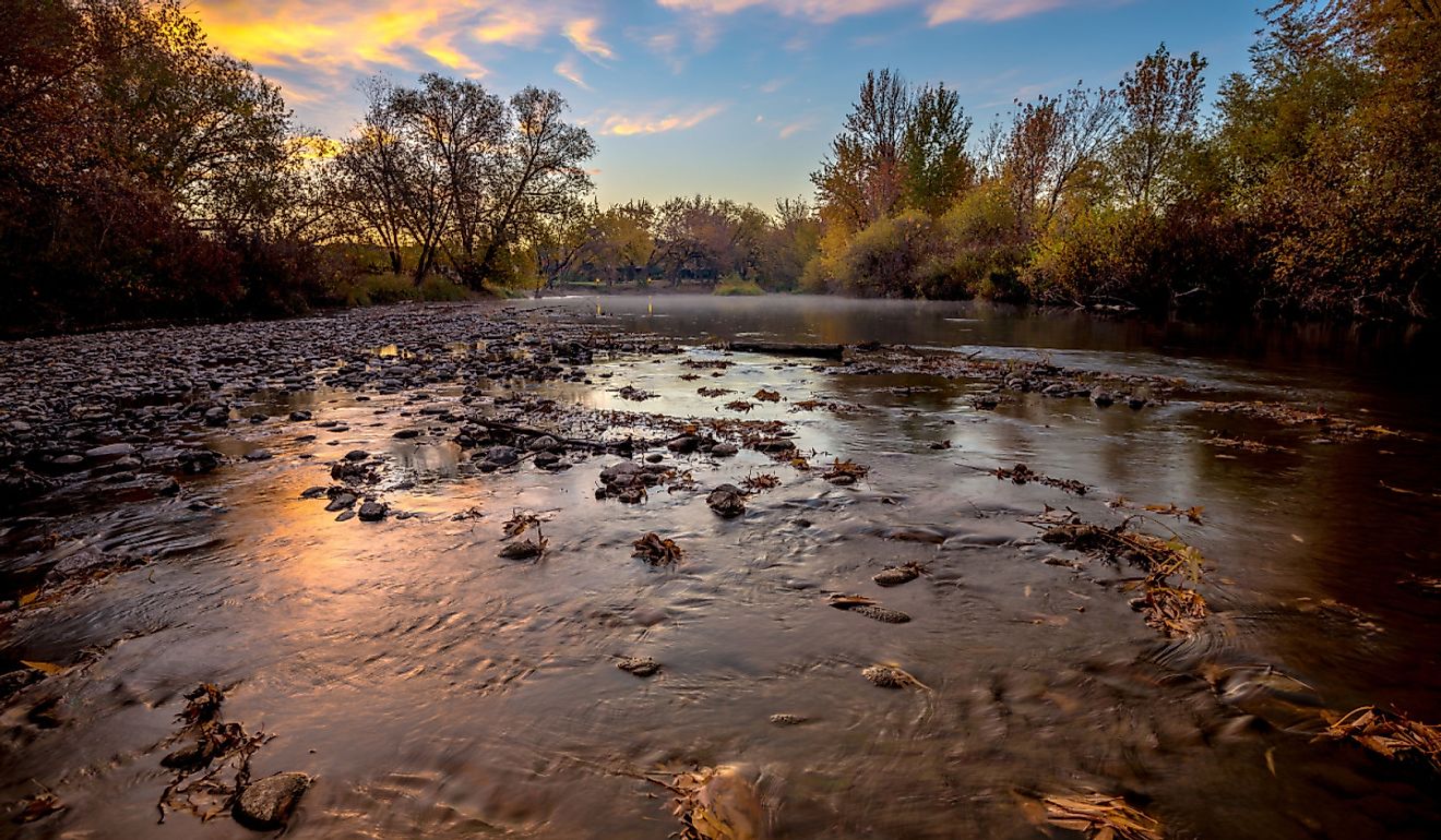
The magnificent Colorado River was to prove a constant companion as we made our way south. After catching a glimpse of the river near Grand Junction, Moab provided our first close-up look at one of the country’s mightiest rivers. Standing on the Colorado Riverway Bike-Hike Bridge in Lions Park just a few miles to the north of Moab, we were excited to learn that we were going to see the river again at various points along our route.
Moab is, of course, best known as the gateway to Arches National Park and Canyonlands National Park, two of Utah’s most celebrated landscapes. It’s also the site of the famous Moab Easter Jeep Safari, a thrilling nine-day event featuring organized trail rides through the area’s most rugged off-road terrain. And we didn’t have to try too hard to find any of these Jeep enthusiasts.
The roads and parks were full of them, as was the town of Moab itself, causing us, for a brief moment, to wish we’d timed this first leg of our adventure a little later. Still, we did brave the town itself, popping into the iconic GearHeads Outdoor Store for a few hiking supplies before stopping at Moab Brewery for a refreshing ale.

Next stop was the small town of Bluff. Home to just 123 permanent residents, Bluff may be small, but it’s worth stopping at. We enjoyed a caffeine boost and a cold brew (hey, it was after 5pm somewhere!) at Cow Canyon Coffee, popping into the next door Cow Canyon Trading Post for some souvenir shopping. Bluff, so named for the stunning red “bluffs” that surround the community, is also home to Twin Rocks Café, a great lunch spot that features the superb rock formation after which it’s named literally in its backyard (try to grab a patio table if one’s available).
Just a few miles further down Highway 191, at the junction with Highway 163, we pulled over for a look at Sand Island Petroglyphs. This remarkable natural gallery of ancient art features carvings dating back hundreds of years, complete with easy access and handy interpretive signs explaining their significance.
Continuing along Highway 163, you’ll see the east entrance to Valley of the Gods. If you’ve got time, it’s worth driving along the 17-mile dirt road that winds past towering monoliths like Seven Sailors and Lady in the Bathtub.

Our goal for day one of our 440 mile Colorado Plateau adventure was to reach Goosenecks State Park, a magnificent six mile meandering stretch of the San Juan River. One of the most striking examples of an entrenched river meander in the United States, standing at the rim and looking down more than 1,000 feet to the river far below was definitely bucket list worthy.
Retracing our steps, we opted to stop for the night in Mexican Hat, an even smaller community than Bluff with more hotel rooms than it has residents (its population stands at just 22). Named for a sombrero-shaped rock formation visible from the road, our digs for the night were the Hat Rock Inn, a comfortable spot overlooking the San Juan River that served as the perfect place to end a wonderful day of sightseeing.
Day 2: Monument Valley

A highlight of our epic desert road trip was our first “proper” view of Monument Valley. Though we’d caught tantalizing glimpses of this wonder of nature from a distance, including from Goosenecks, seeing it from Forrest Gump Point (yes, it’s a thing!) was simply breathtaking.
Situated on US 163 about 13 miles north of Monument Valley Navajo Tribal Park, it was here that Forrest famously decided to stop running. Today, it’s a popular photo spot that showcases the famous corridor of towering sandstone buttes rising dramatically from the desert floor. It really did make us feel a little giddy just looking at one of America’s most iconic views.

Once in Arizona, we entered Monument Valley Navajo Tribal Park to drive the 17-mile scenic loop that gets you up close to famous rock formations including the Mittens and Merrick Butte, instantly recognizable from countless Hollywood films and TV shows. We also popped into the Tribal Park Visitor Center to learn a little more about the region’s geology and the history of the Navajo Nation (guided tours are also available here).
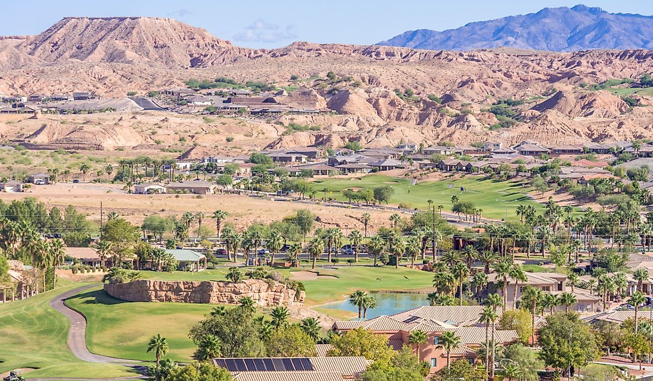
Heading west from Monument Valley along Highway 160 and then northwest on 98 brought us to Page, a good sized town of over 7,000 residents. Here, the Glen Canyon Dam spans the Colorado River, creating Lake Powell, one of the largest man-made reservoirs in the US. Our stop for the night was the aptly named Best Western View of Lake Powell Hotel which offers comfortable accommodations and great views of the reservoir.
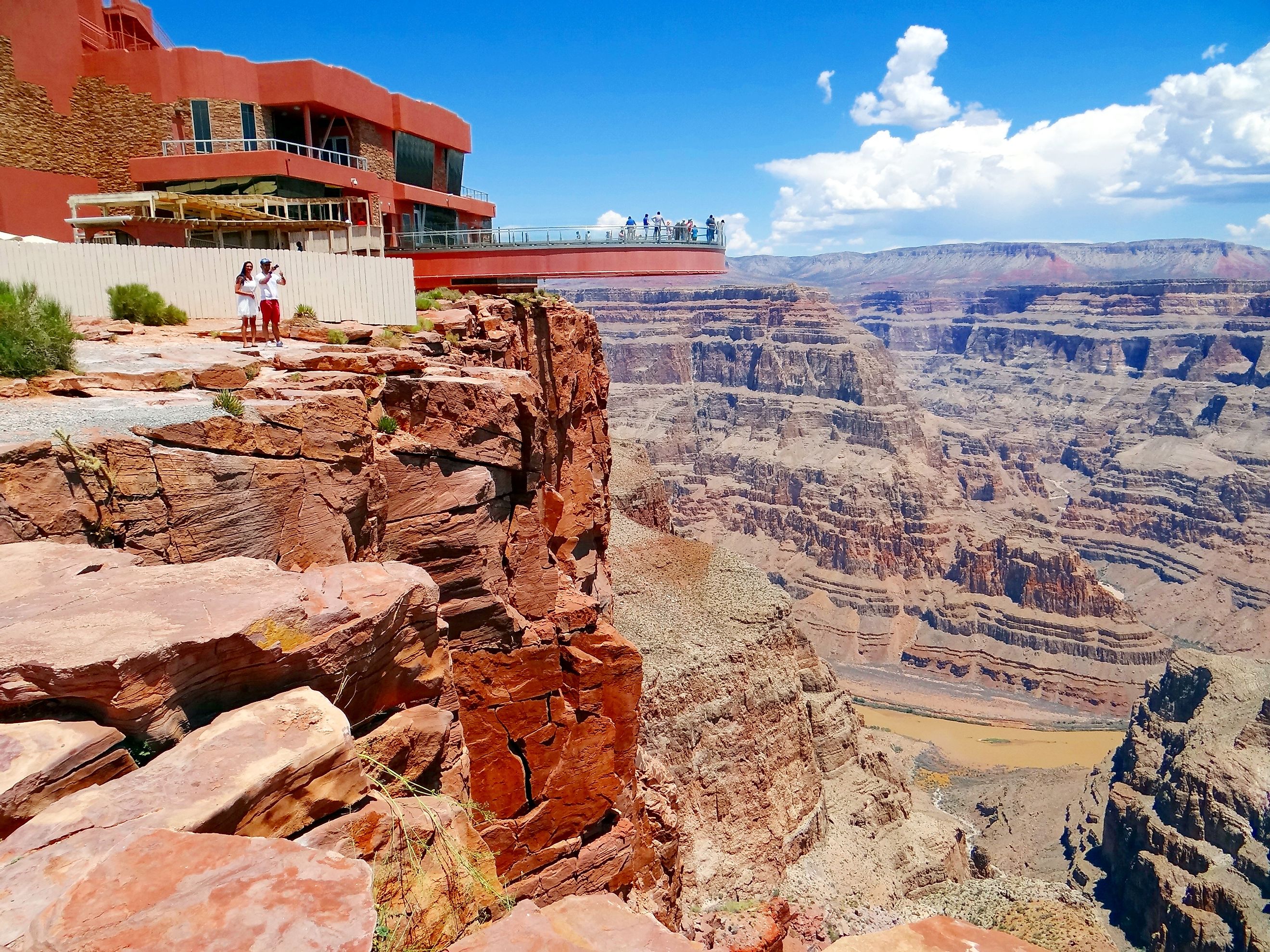
Day 3: The Grand Canyon

Setting out at first light, we were eager to spend as much time as possible enjoying the spectacular views of Grand Canyon National Park. Here’s where I can let you in on a little secret I learned after visiting the Grand Canyon with some old friends from England many years prior. That secret? Do the drive along the South Rim of the canyon from east to west, ending at Grand Canyon Village, rather than starting there.
Better still, the 130 mile drive from Page provided spectacular views of the Colorado River as it literally slices through the plateau, revealing just how the water has shaped the land over millions of years. It was wonderful to see, with very few other people to interfere with the views as you rose higher on the plateau.
Before entering the park’s South Rim, we stopped at the Desert View Watchtower, a 70-foot stone structure offering our first unobstructed views of the canyon and its network of side gorges. From here, we were just 30 minutes from the park proper, and our next overlook, Pipe Creek Vista. The last lookout point prior to entering the Village area, it was wonderful to enjoy so spectacular a view without the crowds.

Taking our time over the last few miles before reaching the Grand Canyon Visitor Center, we made a point of stopping at every scenic overlook along the way. And, thanks to tricks played by shifting cloud cover, no two views were ever the same, and each was spectacular.
Our last stop, Grand Canyon Village, is definitely worth despite the much larger crowds. After checking out the visitor’s center and the historic El Tovar Hotel and Hopi House, both dating back to the early days of tourism on the rim, I was surprised to stumble across the Grand Canyon Railway Depot. A bit of a railway buff, the fact the station is still in use and accommodates a heritage train from Williams, a two hour trip away, was enough to make me immediately want to start planning a return trip to the “Big Canyon.”
As we watched the sunset, we did in fact promise ourselves we’d be back. But the road south to the Mojave Desert, Route 66, and Joshua Tree National Park still beckoned. But that’s a story for another time…
The Bottom Line
While a drive through the Colorado Plateau region from Grand Junction to the Grand Canyon could be done in a day, don’t be tempted to put pedal to the metal. Instead, stretching it out over a few days provides endless sightseeing opportunities. From Colorado through Utah and into Arizona, each leg of this epic 440 mile road through the American Southwest and the Colorado Plateau left us in no doubt we’d do it again, this time even slower.