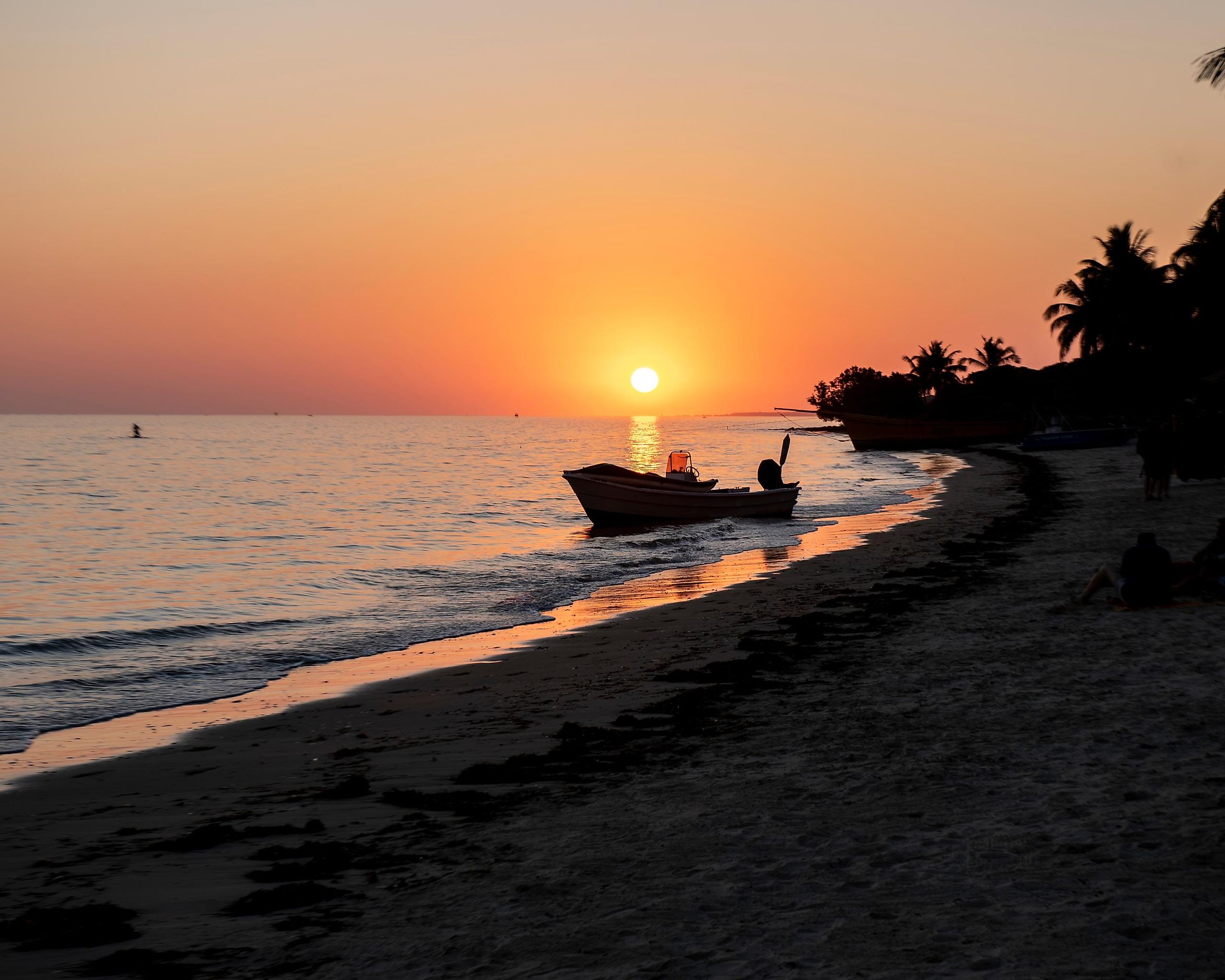
Mozambique Channel
The Indian Ocean has numerous marginal seas, bays, gulfs, and straits of varying sizes and marine characteristics. Eleven of the marginal seas are at least 200,000 km2, with the Arabian Sea as the largest sea. Another prominent water body in the Indian Ocean is the Mozambique Channel, which separates Madagascar from mainland Africa. It is an important shipping route in eastern Africa. The Channel was also the location of World War II’s Battle of Madagascar.
Where Is The Mozambique Channel?
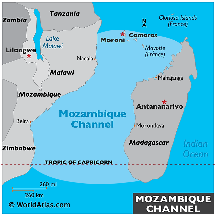
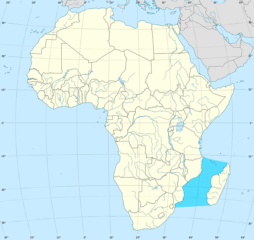
The Mozambique Channel, also known as Canal de Moçambique in Portuguese, is the Indian Ocean’s arm on the western portion. Spanning 1,600 km, it threads between Southeast African nations of Mozambique and Madagascar, separating the latter from mainland Africa to its west. It is also bounded by southern Tanzania, with the island nation of Comoros located at the channel's northern end. The channel forms part of the Exclusive Economic Zones of various countries, including Tanzania, Madagascar, Mozambique, France, Seychelles, and Comoros.
Geography
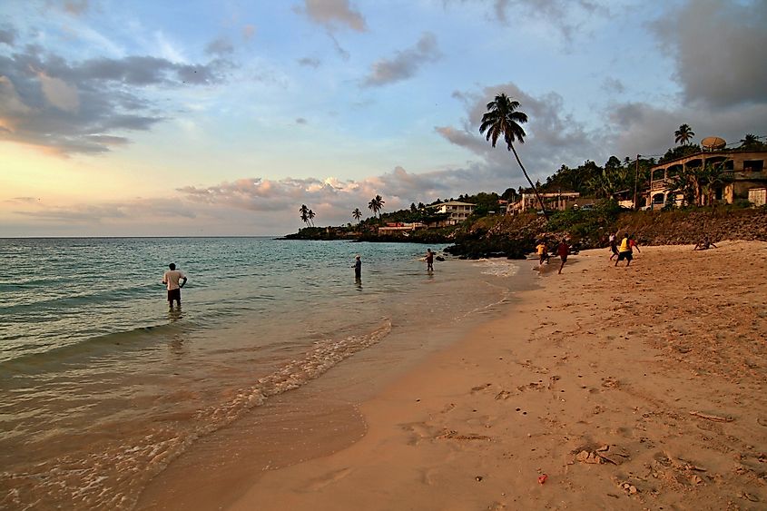
The Mozambique Channel is part of the Western Indian Ocean (WIO) sub-region. The Channel’s boundaries are not yet defined and may vary depending on the source. However, according to the International Hydrographic Organization, the channel’s northern limit is a line joining River Rovuma’s estuary to Ras Habu. Ile Grande Comore, on the Comoro archipelago, is the northernmost point. The eastern limit is on Madagascar’s west coast, while the southern limit is a line joining Cap Sainte-Marie to Ponto do Ouro. The western limit is on the Southern African coast.
Its width varies from 400 km to 950 km. It has a maximum depth of 3,292 m at a point 230 km off Mozambique’s coast. The channel’s warm current, known as the Mozambique Current, flows southwards and into South Africa’s Agulhas Current.
The Mozambique Channel shares land borders with five countries, namely Tanzania, Madagascar, Comoros, Mozambique, and France (through its territories). Madagascar is the largest island bordering the Mozambique Channel, spanning 587,295 km2 in the Indian Ocean, It is the world’s fourth-largest island and second-largest island country.
The Comoro Archipelago, located in the centre of the northern end of the Mozambique Channel, has numerous islands. Grande Comore is Comoros’ largest island, covering 1,025 km2. The nation’s capital, Moroni, is located on this island. Other Comoros islands are Mohéli and Anjouan. France also possesses some islands in the Mozambique Channel, including the disputed Mayotte Island, Banc du Geyser, Bassas da India, and Europa Island.
Economy
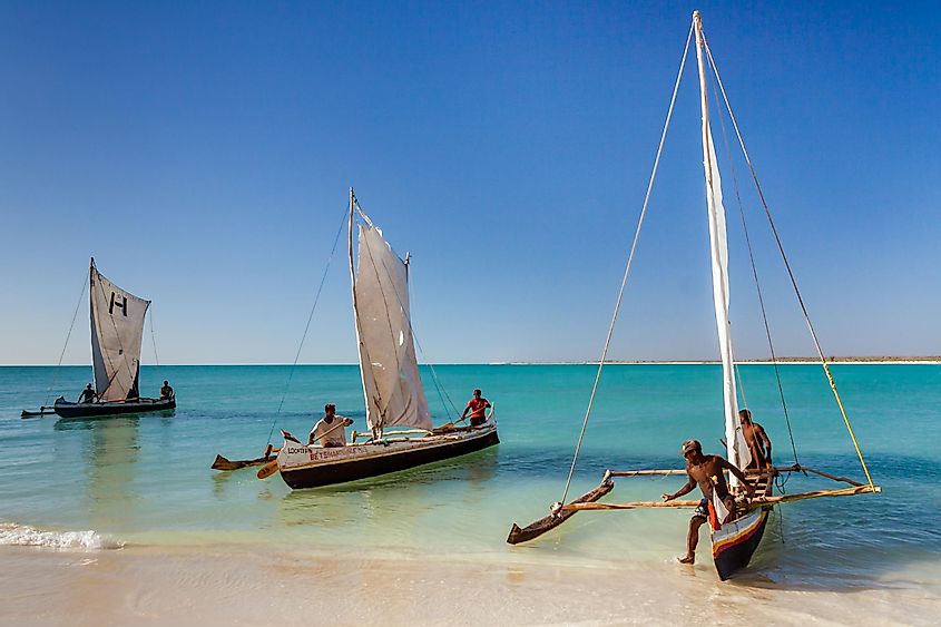
The Mozambique Channel is considered one of the future economic drivers in east and southern Africa because of the natural gas reserve discovered in the channel in 2010. The natural gas in Rovuma Basin has attracted exploration activities from companies such as Anadarko and Eni. The channel’s coastline is divided into exploration blocks, including protected areas, tourist centers, and wildlife migration corridors.
Besides natural gas and tourism, the channel also supports the fisheries industry, especially the northern part. Marine resources account for a significant portion of the bordering countries’ GDP (Madagascar 7%, Comoros 8%, and Seychelles 9%). Tuna and shrimp are the main species supporting fisheries in the Mozambique Channel. The Channel is also an important trade route between the Indian Ocean and the South Atlantic and is the Southern African Development Community’s strategic trade route, transporting over 50% of the region’s import and export goods.
