Lake Erie
Lake Erie is the fourth-largest and the southernmost of the Great Lakes in North America’s upper mid-eastern region. It is also the warmest, shallowest, and smallest of the Great Lakes by volume. However, it is the most productive of the region’s lakes. Named after the Erie people, this lake forms the boundary between the US and Canada. It is bordered by the Canadian province of Ontario and the US states of Ohio, Michigan, New York, and Pennsylvania. Globally, Lake Erie is the 11th largest lake by both surface area and volume. The Detroit River is the lake’s primary inlet, while the Niagara River is the main outlet. Erie’s use has come under sharp focus in recent years due to environmental concerns, such as pollution and overfishing.
Location
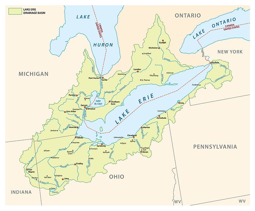
Lake Erie is one of the five Great Lakes located in North America’s upper mid-eastern region. It is located just below Lake Huron (the third largest of the Great Lakes) and bordered to the east by Lake Ontario (the smallest of the Great Lakes) and northwest by Lake Michigan (second-largest of the Great Lakes. It forms part of the International Boundary between the United States. The Canadian province of Ontario borders Erie to the north, with the US states of Pennsylvania and Ohio on the southern shores, New York on the eastern shores, and Michigan on the western shores. Parts of the boundaries of the four states and Ontario lie within the lake.
Geography
Lake Erie is the 4th largest of the five Great Lakes, with a surface area of 25,874 square kilometers. However, it is the shallowest of the five lakes, with an average depth of 19 meters and a maximum depth of 64 meters. With an average depth of 9.1 meters, the western basin is the lake’s shallowest section. Erie is also the smallest lake by volume, with 480 cubic kilometers of water. The lake is 388 kilometers long from east to west and 92 kilometers wide from north to south. It has a mean elevation of 174 meters above sea level. The lake’s drainage basin covers 78,062 square kilometers (excluding its surface area). Its coastline is approximately 1,286 kilometers, including the island.
Although several rivers flow into Lake Erie, its primary inlet is the Detroit River, which originates from Lake St. Clair and Lake Huron. Other major inlets include Huron River, Grand River, Maumee River, Buffalo River, Sandusky River, and Cuyahoga River. The lake’s water is discharged on the eastern edge by the Niagara River, which is vital for hydropower production to the US and Canada. The western side contains all 31 islands, including Pelee Island, the lake’s largest island.
Because of its shallowness and small size, Lake Erie has a short water-retention time. Every drop of water entering Lake Erie circulates for about 2.6 years before exiting the lake, making it the shortest retention time of all the Great Lakes. Like other Great Lakes, Erie’s water levels fluctuate with seasons, with the lowest levels recorded between January and February and the highest levels recorded in June or July. Seiches cause short-term water changes and force the waters to pile up on the eastern edge. Some of these seiches contain storms that cause significant damages onshore.
Geology
Lake Erie was gouged out by glacier ice about 1 million-12,600 years ago and was the first of the five Great Lakes to be uncovered after the last glacier ice retreated. However, the lake’s current form is less than 4,000 years old. Before the lake formed, a large lowland basin fed by rivers that flowed from the east covered much of the region about two million years ago. However, the first major glacier destroyed the drainage basin and enlarged and deepened the lowlands, allowing the lake to form and water to settle in it. The glacier ice gouged more land on the eastern side than the western side because the eastern bedrock comprises shales that are much softer than limestone and dolomite on the western side. Thus, Lake Erie’s western basin is much shallower than the central and eastern basins. Erie, the southernmost of the Great Lakes, is the shallowest lake due to the relatively thin ice (with weaker erosion power) that covered the area.
Ecosystem
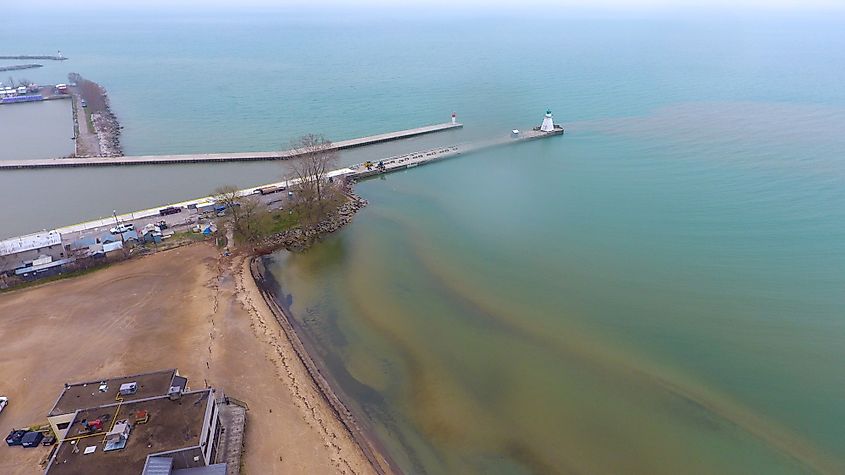
There is a significant interaction between Lake Erie’s ecosystems. However, human activities such as shipping and pollution have had significant effects on the environment. The lake has numerous invasive species, including grass carp, quagga mussels, and Zebras mussels. Besides invasive species, large quantities of human and animal waste and farm fertilizers are also finding their way into the lake, causing eutrophication. The nutrient overload has caused occasional low oxygen dead zones and sprouting of algae blooms. In the 1960s and 1970s, the lake’s water was highly polluted, especially by industrial wastes from the surrounding cities. However, conservation efforts, which included the introduction of zebra mussels have helped increase the water quality.
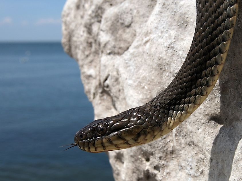
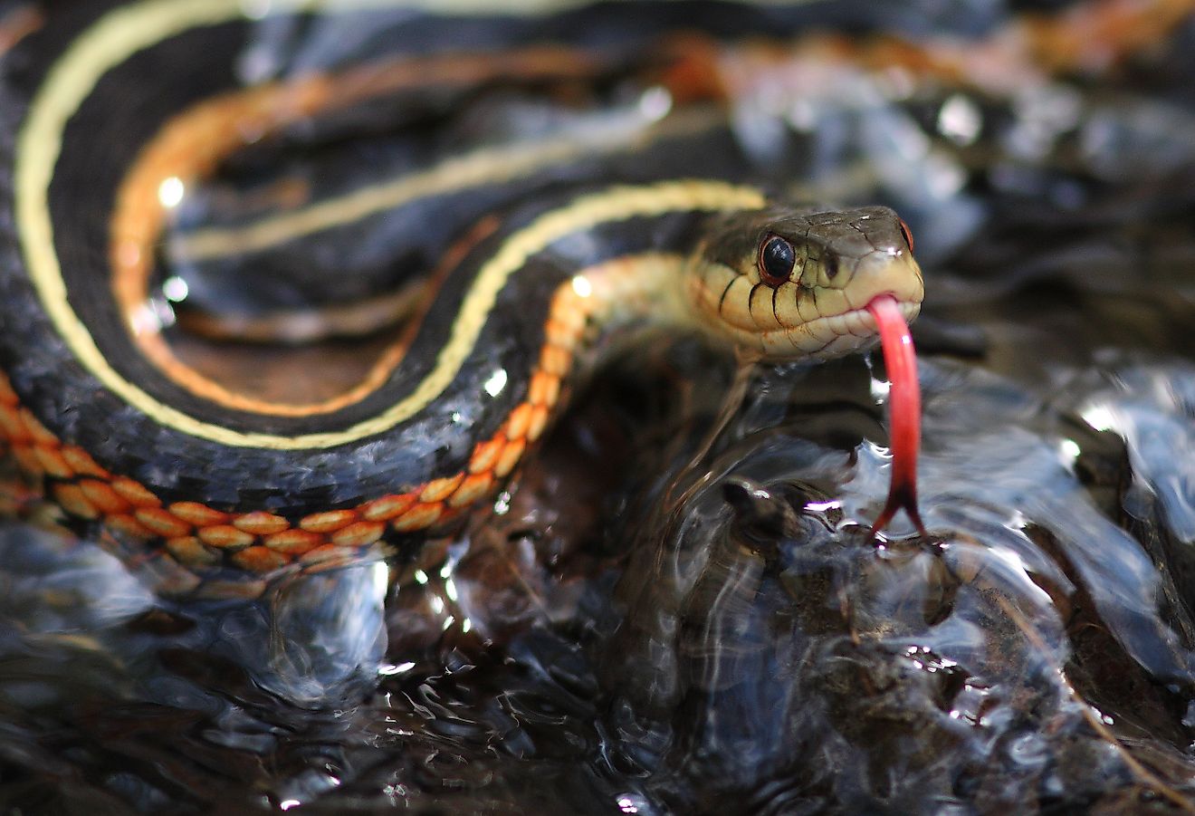
Lake Erie hosts numerous species, including over 10,000 Lake Erie water snakes. These snakes feed on various fish species and help in regulating the goby fish population. There are also millions of mayflies and several bird species, including common red-breasted mergansers, grebes, loons, ring-billed gulls, diving ducks, and herring gulls. Lake Erie has the most abundant fish species of all the Great Lakes due to plenty of plankton and mild temperature, accounting for more than half of the Great Lakes’ fish population. Its fish species include largemouth bass, walleye, steelhead, smallmouth bass, perch, king salmon, and lake trout.
