Geography Of The World
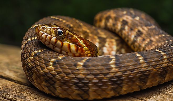
The Most Snake Infested Rivers In Missouri
These rivers, located in Missouri, are some of the most snake-infested areas in the state, featuring sightings of snakes such as plain-bellied watersnakes.
Can a Lake Turn Into a Desert?
Desertification — driven by climate change — degrades landscapes, reduces biodiversity, and threatens food supplies and security. It impacts people worldwide.

The Most Beautiful Islands in Indiana
These beautiful islands in Indiana await exploration from the historic Rose Island to Sylvan Lake's Big Island; visit one or all!

The 5 Most Alligator Filled Rivers In Georgia
These Georgia rivers are home to booming populations of American Alligators. View them in beautiful rivers from a safe distance, but don't get too close!
The Most Photographed Lakes on Earth
Whether flipping through wall calendars or hunting for inspirational quotes, there is a good chance you have seen a photo of these most-photographed lakes.

The Physics of Lake Stratification Explained
Stratification is a natural process with wide-ranging implications for communities and ecosystems, from water treatment to conservation and recreation.

Why Some Lakes Smell So Bad
From garbage and pollution to algal blooms, delve into the science behind why some lakes smell so bad and how to avoid these issues.
5 Most Snake-Filled Bodies Of Water In Texas
Tread carefully when approaching these bodies of water in Texas, as they are home to a large snake population, including venomous cottonmouths.
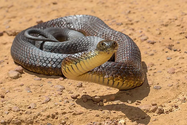
5 Most Snake-Filled Bodies Of Water In Australia
Venomous tiger snakes, dugites, and the powerful olive python are all common species in some of the most snake-filled bodies of water in Australia.
Lakes That Are Home to Endangered Species
From unique frog species to seals that only live in one lake, these lakes around the world are home to hundreds of animals, many of which are endangered.

5 Most Snake-Filled Bodies Of Water In South Carolina
Snakes adore wetlands, and with around three dozen species in South Carolina, you are bound to bump into one someday or another.

The Role of Lakes in Bird Migration
Twice a year, billions of birds embark on one of nature's greatest wonders—migration. Learn more about the role of lakes in bird migration.

The Most Studied Lakes by Scientists
From frozen to deadly, these lakes are hotbeds for scientific research and discovery, placing them among the most studied bodies of water in the world.
5 Bodies of Water That Are Saltier Than the Ocean
Can you imagine a body of water saltier than the ocean? You don't have to with facts about these five bodies of water located around the world.
5 Most Snake-Filled Bodies Of Water In North Carolina
Discover North Carolina’s snake-filled lakes and rivers, from Lake Norman to the Black River. Learn about the venomous and non-venomous species to watch for.
What Makes a Lake 'Dead'?
A dead lake is one that is not fit to support large populations of fish due to various reasons, ranging from pollution to eutrophication.
5 Most Snake-Filled Bodies Of Water In Queensland
Queensland's bodies of water are home to a wide variety of snakes, including many venomous species, so visitors should exercise caution.

What Lives at the Bottom of the Deepest Lakes?
What are the world's deepest lakes, and what lives in them? This article explores three lakes and the life forms that thrive there.
The Role of Lakes in Climate Regulation
Lakes store more carbon than oceans, regulate temperatures, and shape weather—revealing their vital role in Earth's climate system.
5 Most Snake-Filled Bodies Of Water In North Dakota
These bodies of water in North Dakota are home to an array of snakes, some harmless, and others, like the prairie rattlesnake, venomous.
The Role of Lakes in Freshwater Supply
The role of lakes in freshwater supply is a vital one, as evidenced by cities such as Chicago's Lake Michigan and others.

5 Most Snake-Filled Bodies Of Water In New South Wales
Among the discoveries of exploring New South Wales is an awareness that Australian wilds are never far away, as in its five most snake-filled bodies of water.

6 Most Snake-Filled Bodies Of Water In Utah
When one thinks of Utah, it is usually mountainous landscapes and the Great Salt Lake that pop into mind. How about its six most snake-filled bodies of water?

5 Most Snake-Filled Bodies Of Water In Western Australia
Western Australia's diverse ecosystems are a paradise for several snakes, including several venomous species; these are the most snake-filled bodies of water.

5 Most Snake-Filled Bodies Of Water In Michigan
Discover Michigan's most snake-infested lakes and rivers, from Lake Michigan to the Huron River, and learn which snakes to watch for near the water.
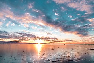
The World's Largest Endorheic Lakes Explained
Lakes without outflows—endorheic lakes—are rare, salty, and fragile. Learn how they form and which five are the world’s largest.

5 Most Snake-Filled Bodies Of Water In Georgia
These five bodies of water in Georgia are filled with snakes, from the Chattahoochee River to Lake Allatoona, with water snakes, rattlesnakes, and more.

5 Most Snake-Filled Bodies Of Water In Nevada
The Silver State is more than casinos and desert landscapes. From Carson River to Lake Tahoe, these are the 5 most snake-filled bodies of water in Nevada.

How Glacial Lakes Form
Glacial lakes are formed when glacial meltwater accumulates in depressions created by glacial action, and the outflow of water is controlled by natural dams.
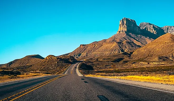
Mountains Across North America You Can Summit With Little to No Experience
From Texas to Vermont and Colorado to Canada, these are 7 mountains across North America you can summit in a day, no experience necessary.
5 Most Snake-Filled Bodies Of Water In Colorado
From Gopher Snakes to Western Diamondback Rattlesnakes, these bodies of water located in Colorado are home to a wide variety of snake species.
5 Most Snake-Filled Bodies Of Water In Mississippi
Mississippi is home to 55 native snake species, of which 6 are venomous. These are the 5 most snake-filled bodies of water in The Magnolia State.
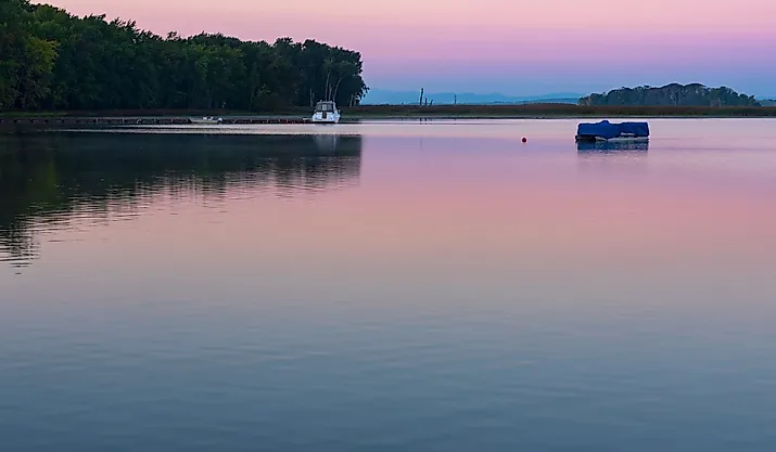
5 Most Snake-Filled Bodies Of Water In Vermont
Along with being ideal for recreation and adventure, these 5 bodies of water in Vermont are also perfect habitats and breeding grounds for snakes.
The 49th Parallel
How was the 49th parallel, the world's longest undefended border, defined?
5 Most Snake-Filled Bodies Of Water In Kentucky
From the winding Mississippi River to the tranquil waters of Rough River Lake, these are the 5 most snake-filled bodies of water in Kentucky.

6 Most Snake-Filled Bodies Of Water In Wyoming
With many lakes located in Grand Teton National Park, these are the six most snake-filled bodies of water in Wyoming, from garters to rattlesnakes.

Southeast Asian Countries
Southeast Asia is a region comprised of 11 different countries, all with their own languages and cultures. Approximately 674 million people live in the region.

5 Most Snake-Filled Bodies Of Water In Wisconsin
Discover the most snake-filled lakes and rivers in Wisconsin, from Devil’s Lake to Lake Michigan—plus which species to watch for and where to find them.

5 Most Snake-Filled Bodies Of Water In Maine
Discover the most snake-filled bodies of water located in Maine, including Moosehead Lake, the largest lake in the state.

New York State's Engineering Marvel Turns 200 Years in 2025
Celebrate the Erie Canal's 200th anniversary in 2025 with historic reenactments, scenic trails, and vibrant events across New York’s iconic waterway.