How Many Islands Are In The Bahamas?
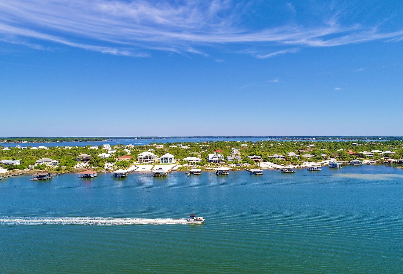
Officially known as the Commonwealth of The Bahamas, the Bahamas is an archipelagic country that occupies a major portion of the large Lucayan Archipelago on the northwestern edge of the West Indies. The Bahamas is situated to the north of the Republic of Cuba; northwest of Hispaniola Island and the British Overseas Territory of the Turks and Caicos Islands; east of the Florida Keys and to the southeast of the US State of Florida. Covering a total area of 13,878 sq. km, the Bahamas is composed of more than 700 islets, islands, and 2,400 cays in the Atlantic Ocean.

Inhabited Islands Of The Bahamas
Out of the 700 islands and 2,400 cays in the Bahamas, only 30 are inhabited. Some of the principal inhabited islands of the Bahamas include Andros, Great Abaco, Acklins, New Providence, Great Inagua, Mayaguana, Berry Islands, Crooked Island, Ragged Island, Bimini Islands, Long Island, San Salvador Island, Grand Bahama, Cat Island, Eleuthera, etc. All these islands are low and flat and have mostly been formed by the disintegration of coral reefs. Located on Cat Island, Mount Alvernia which rises to an elevation of 63m is the highest point in the Bahamas.
Biggest Islands Of The Bahamas

Of all the 700 islands in the Bahamas, Andros Island occupying an area of 5,957 sq. km is the largest of the Bahamian Islands. Andros Island is an archipelago and its total area includes three major islands (North Andros, South Andros, Mangrove Cay) along with numerous small islets and cays that are linked by tidal swamps and mangrove estuaries. Politically, Andros is considered to be a single island and has a bigger land area than all the Bahamian Islands combined. Andros Island has a length of about 167km and a maximum width of 64km. North Andros Island is the country’s largest district in terms of area and houses a population of 3,898 people. The Andros Island has the only freshwater river in the country and is also home to the Andros Barrier Reef which is the world’s sixth-longest coral reef.
Inagua forms the southernmost Bahamas district and is made up of the islands of Great Inagua and Little Inagua. With an area of 1,544 sq. km, the Great Inagua Island is the second-largest island in the Bahamas. The island contains many lakes, and a large avian sanctuary that supports about 80,000 West Indian flamingoes. Matthew Town serves as the island’s capital and only harbor. With an area of 1,400 sq. km, Grand Bahama is the northernmost and the third largest island in the Bahamas. Located about 80km east of Miami, Florida, Bimini is the westernmost island of the Bahamas that is situated closest to the US mainland.
Smallest Inhabited Island In The Bahamas
With an area of only 23 sq. km, the Ragged Island is ranked among the smallest inhabited Bahamas islands. The island forms a part of the Jumentos Cays and the Ragged Island Chain and has a population of only 72 people. The 180km long crescent-shaped Ragged Island Chain includes the Double-Breasted Cay, Racoon Cay, and the Hog Cay. Located within a shallow-water bay, Duncan Town is the only settlement in the Ragged Island chain.
The Most Populous Island In The Bahamas
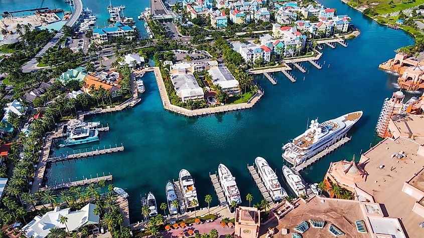
The New Providence Island that occupies an area of 207 sq. km, is the most populous in the Bahamas. As per the 2016 census, the island is home to about 274,400 residents and supports more than 70% of the country’s total population. Situated on New Providence Island is Nassau – the capital and the largest city of The Bahamas. Nassau is a primate city and serves as a busy seaport as well as the administrative, economic, educational, media, and commercial center of the country. The city’s spectacular scenery, natural environment, pleasant tropical climate, and proximity to the United States have made it a popular tourist destination attracting a lot of tourists from all over the world.
