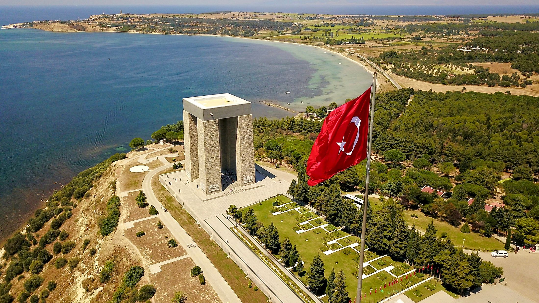
Gallipoli Peninsula
The Republic of Turkey comprises two main peninsulas: the bigger Anatolia on the Asian side and Thrace on the southeast of the Balkan Peninsula, forming European Turkey. These two primary peninsulas have secondary peninsulas extending into the surrounding sea. Anatolia has 14 peninsulas, while two are attached to Eastern Thrace or European Turkey. The Gallipoli Peninsula is one of the two peninsulas extending from the East Thrace (the other peninsula is Catalca Peninsula). It extends southwestwards from the southern part of the southeast Balkans into the Aegean Sea. The Dardanelles Strait separates the peninsula and northwestern Anatolia. As part of Turkey, the peninsula is also called Gelibolu. The peninsula derives its name from the Greek name “Callipolis,” which means “beautiful city.”
Geography
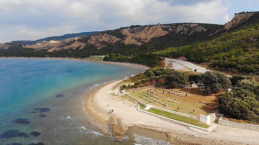
The Gallipoli Peninsula is a narrow peninsula that extends southwestwards from southern East Thrace into the Aegean Sea. The peninsula is about 50 kilometers long from Cape Mastusia (the southernmost point) to the Thracian mainland. It borders the Aegean Sea to the east, the Gulf of Saros to the south, and the Dardanelle Strait to the west. The strait also separates the peninsula and Asian Turkey and connects the Aegean Sea and the Sea of Marmara. Part of the Sea of Marmara’s west coast also lies along the Gallipoli Peninsula. Gallipoli is administered as part of Canakkale Province and is divided into two districts: Gelibolu and Eceabat. The Gallipoli Peninsula’s climate is similar to Canakkale City's climate. It experiences a Mediterranean climate with cool, rainy winters and dry, hot summers.
History
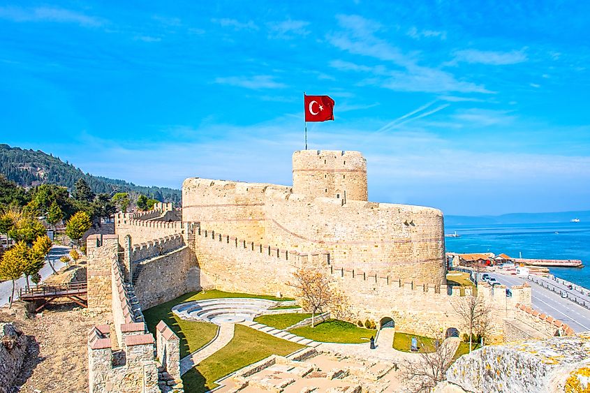
As a strategic place where West meets East, the Gallipoli Peninsula has a rich history, including several military campaigns since ancient times. During ancient times, the Greeks referred to the peninsula as Thracian Chersonesus. It served as the main route between Asia and Europe and controlled the shipping route to and from Crimea. As a result, several towns developed on the peninsula, including Callipolis, Pactya, Cardia, Sestos, and Elaeus. By the 7th century BC, the Greeks had founded 12 cities on the peninsula. The Athenians and Persians ruled the Thracian Chersonesus up to 338 BC when the peninsula came under the Macedonians. The Romans finally conquered the peninsula in 188 BC.
In March 1354, the city of Gallipolis was destroyed by a strong earthquake, which forced many people to flee the area. After the earthquake, the Ottomans captured the city and made it its first possession in Europe. The Ottoman Empire gradually conquered the peninsula from the 12t to the 15th century. However, the Greeks living there were allowed to continue with their normal life.
Military Campaigns
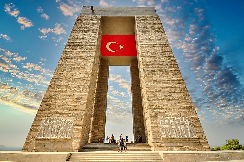
During the 1854 Crimean War, Gallipoli was an important military camp for the French and British forces. The two nations constructed an 11.5-kilometer defense line to secure the peninsula and protect it from Russian attack. However, the peninsula is more famous for the Gallipoli Campaign, fought in World War I by the French, British, and allied forces against the Ottomans. The British Empire allies mounted a joint operation to capture Constantinople (now Istanbul) and secure a sea route to rescue Imperial Russia (their easterly ally). The land campaign, which lasted about nine months (April 25, 1915, to January 9, 1916), resulted in heavy losses for both sides. The Campaign was one of the Ottomans’ major victories during World War I. It also led to the establishment of the Republic of Turkey.


