Kola Peninsula
The Kola Peninsula is a large peninsula in northwest Russia located almost entirely in the Russian Arctic. It is one of Europe’s largest peninsulas, spanning about 100,000 square kilometers and extending across the Arctic Circle for over 305 kilometers. The peninsula is part of the Murmansk Oblast of Russia and is a continuation of the Baltic Shield that is bounded on the north by the Barents Sea and on the east and southeast by the White Sea .The Kola Peninsula is an important economic area containing valuable natural resources, including fish and minerals. It experienced rapid growth during the Soviet era due to the socialist development policy that favored industrialization and resource extraction.
Location
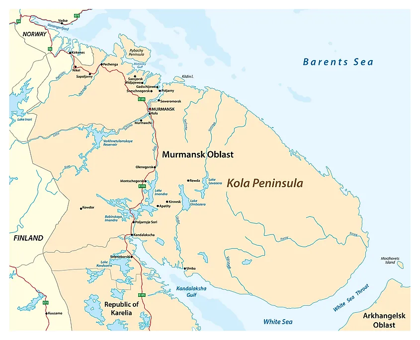
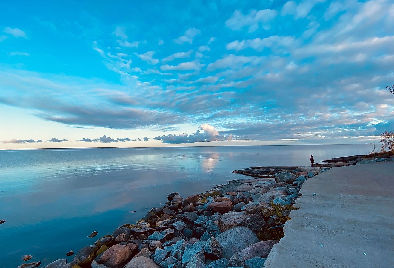
The Kola Peninsula is located in extreme northwest Russia. It juts southeastward from the mainland into the Arctic Circle, separating the Barents Sea and the White Sea. The two seas are connected by a long, narrow strait known as the White Sea Throat (Gorlo) that also separates the peninsula and the Winter Coast in the Arkhangelsk Oblast of Russia. The Kola Peninsula is bordered to the southwest (across the Kandalaksha Gulf) by Karelia, west by the Kanin Peninsula, and south by the Onega Peninsula. The peninsula lies almost entirely within the Arctic Circle, except for a small coastal area bordering the White Sea.
Geography
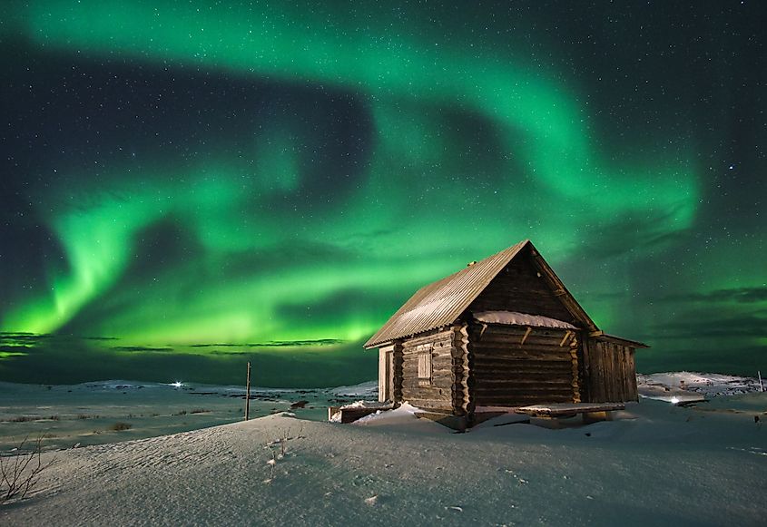
The Kola Peninsula covers approximately 100,000 square kilometers and extends from north to south for about 370 kilometers and from east to west for about 244 kilometers. The peninsula occupies about 70% of the Murmansk Oblast’s total area. While its western limit stretches from the Kola Bay in the north down to the Kandalaksh Gulf, some sources consider the limit to be on the Russia-Finland border.
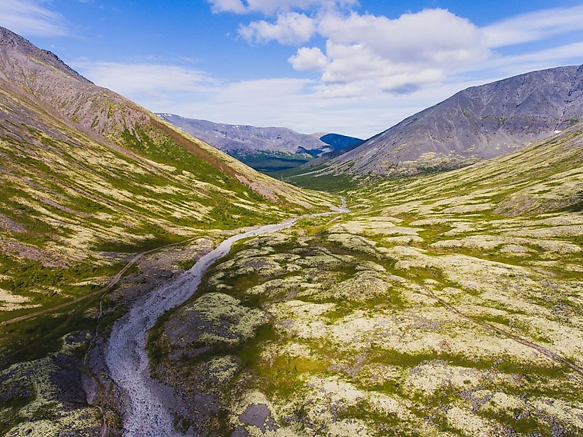
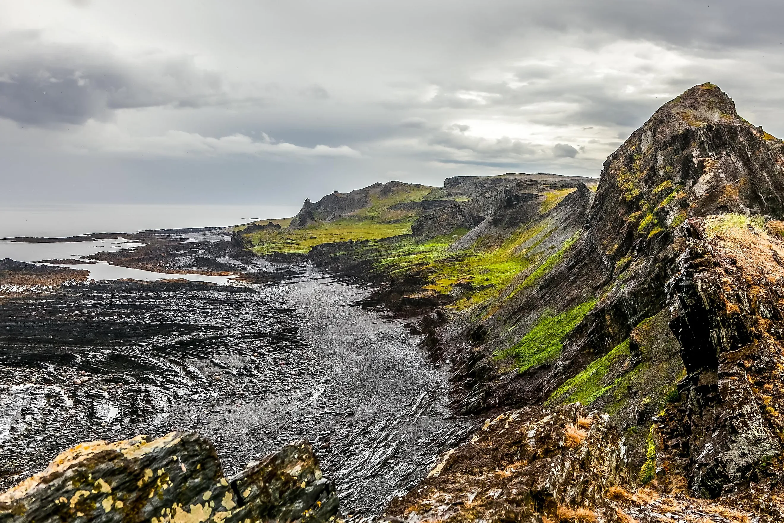
The Kola Peninsula features a magnificent Arctic coast, tundra, fjords, and mountains. The western coast hosts the peninsula's two highest mountain ranges: the Lovozero Massif and the Khibiny Mountains. Khibiny’s Mount Chasnachorr is the area's highest point, which rises to an elevation of 1,191 meters above sea level. The southern coast is generally flat, while a plateau on the northern coast slopes gently towards a high, cliffed shore. The peninsula has numerous lakes, including Imandra, Lovozero, and Umbozero. The peninsula’s rivers include Niva, Kola, Ponoy, Umba, Voronya, and Teriberka rivers.
Climate
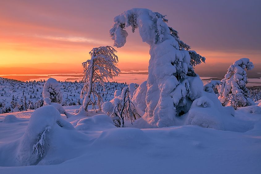
The winter temperatures are unusually high due to the peninsula’s location close to the Gulf Stream. The summer season is often short and cool. Cyclones are common during the cold season, while anticyclones characterize the warm season. The peninsula experiences strong storms for about 80-120 days a year. The annual mean temperature ranges from -10 degrees Celsius in January to +11 degrees Celsius in July. The mountain areas receive up to 1,000 mm of precipitation annually, while the coastal parts receive about 500-600 mm of annual rainfall. The driest months are March and April, while August to October is the wettest.
Flora and Fauna
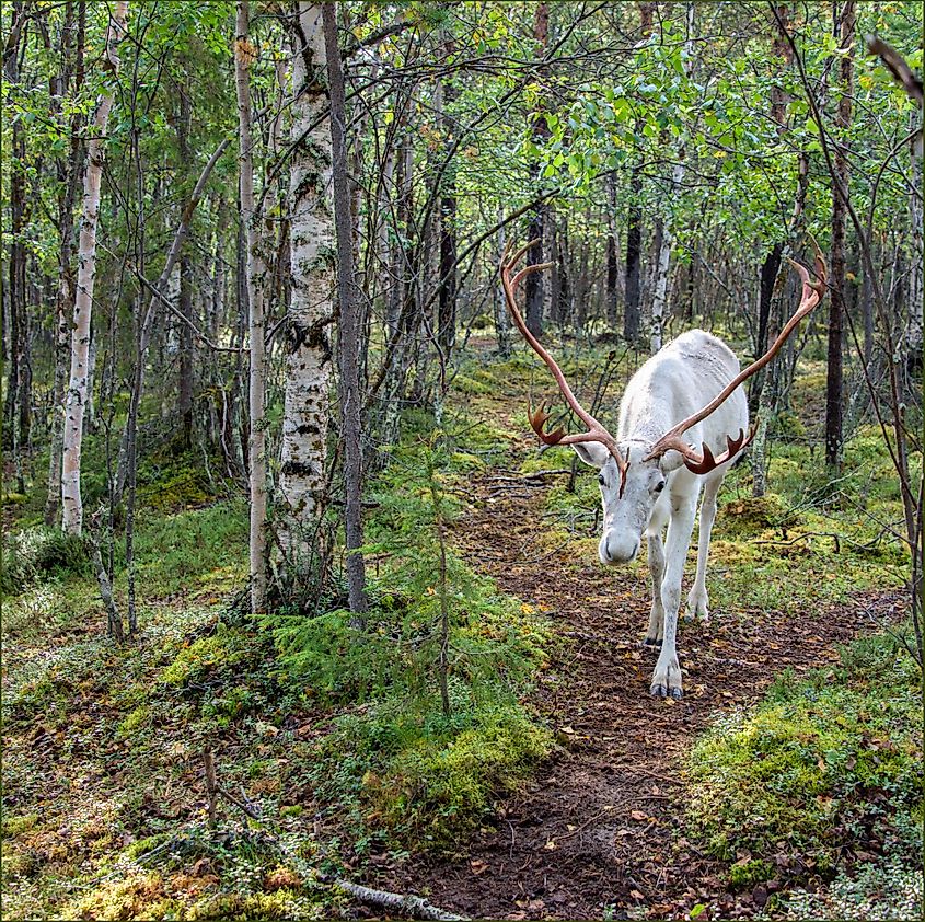
Taiga (boreal forest) dominates the peninsula’s southern parts, while tundra covers the north. Permafrost and cold conditions in the north hinder plant growth, resulting in plenty of grasses, shrubs, and wildflowers. In the southern areas, the taiga comprises mostly spruces and pine trees. Common land animals in the Kola Peninsula include reindeers, Arctic foxes, red foxes, otters, moose, lynx, and American minks. The surrounding water contains beluga whales, dolphins, harbor porpoises and seals. The peninsula has 29 freshwater fish species, including stickleback, trout, European perch, and northern pike. The rivers of the peninsula also serve as important habitats for the Atlantic salmon.
