Cedar River
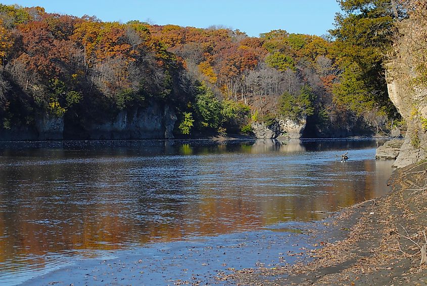
Not to be confused with the approximately 45-mile-long river in King County, Washington, Cedar River is a river that runs for 329 miles through the north-central region of the United States — mainly in the state of Iowa. The Cedar River is reputed to be the second-largest river that flows across the Hawkeye State. For its length, the Cedar River is second only to the Des Moines River, which journeys for 525 miles and lends its name to the capital and the most populous city in Iowa. But it is not just the length or the size. The Cedar River is also among the most picturesque in Iowa.
Most major rivers in Iowa, including the Cedar River, are tributaries of the 2,320-mile-long Mississippi River, the second-longest river in North America. The Cedar River boasts a drainage basin of 7,819 square miles. Most of the region drained by the Cedar River comprises fertile farmland suitable for agriculture.
Source Of The Cedar River
Several tributaries drain into the Cedar River and are the major source of its waters. The tributaries that help form the headwaters of the Cedar River are mostly located in Dodge County in the southeastern region of Minnesota. Other waters, however, flow from neighboring southern Minnesota counties such as Freeborn, Mower, and Steele. The source of the river is an extensive watershed region that spans an area of approximately 709 square miles in southern Minnesota. This wetland area was historically noted for its maple-basswood woodlands, tall grasslands, and oak savanna.
Located in the western section of Minnesota's karst region, this watershed region has several springs and streams and includes the vast wetland complex of Turtle Creek that flows into the Cedar River in the southern reaches of the city of Austin. Eventually, these little streams and springs form three major tributaries of the Cedar River at the Turkey Foot Forks, a name given by Native Indians because the confluence looked exactly like the footprints of a wild turkey. These three primary tributaries include the Cedar, West Fork Cedar, and Shell Rock Rivers, and are located in northeastern Iowa's Black Hawk County.
The Course Of The Cedar River
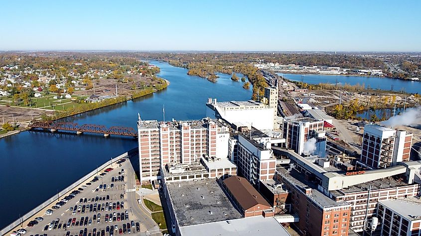
From its headwaters in Dodge County and surrounding areas, the Cedar River flows southwards into Mower County, Minnesota, through the townships of Udolpho and Lansing, named after its Michigan namesake. From here, the river bubbles onto the city of Austin, where two consequential creeks join it. One of these is Turtle Creek, while the other is Dobbins Creek. The latter feeds the Cedar River at Austin's Driesner Park. After running for approximately 54 miles in southern Minnesota, the Cedar River enters northeastern Iowa through Black Hawk County.
From here, it embarks on a southeastern trajectory rushing through Mitchel County, Iowa, and Floyd County. It then winds its way downwards, maintaining its southeastern trajectory to Moscow in Iowa's Muscatine County before abruptly changing course and turning southwest for about 30 miles onto Columbus Junction in Louisa County. At Columbus Junction, the Cedar River pours its waters to the Iowa River, the state's longest river. From here, the now energized Iowa River flows southwards and joins the Mississippi: the third largest watershed in the world.
Climate
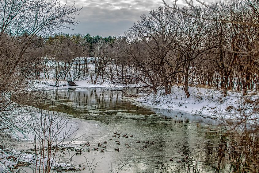
The climate of the Cedar River Basin, like much of the climate in the Midwest region of the United States, is a humid continental climate. This is a climate that features both extremes of hot and cold, as is often found in the temperate regions of the mid-latitudes. While often humid, this climate varies considerably and features a significant temperature range. But that said, the average annual temperature in this region is 50 °F on average, with frequently cold winters that feature decent amounts of snowfall.
On the flip side, spring often marks the start of heavy rain, sometimes accompanied by flooding — because of the steady melting process that usually ensues. And with the end of spring, summers come blazing with daytime temperatures that often graze the 90 °F mark. It is not uncommon for summer temperatures to soar beyond 100 °F. Centuries ago, the area along Cedar River was made of tallgrass prairie as well as dense forests along the corridors of the river. Today, however, agriculture has defined the area's economy. Estimates put the area used for pasture or crops at an impressive 93%.
Flora And Fauna
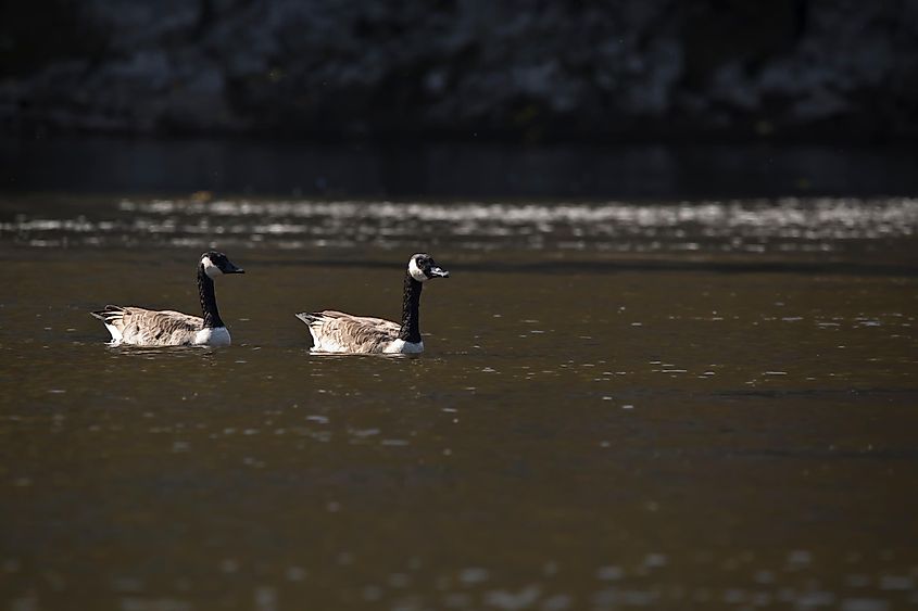
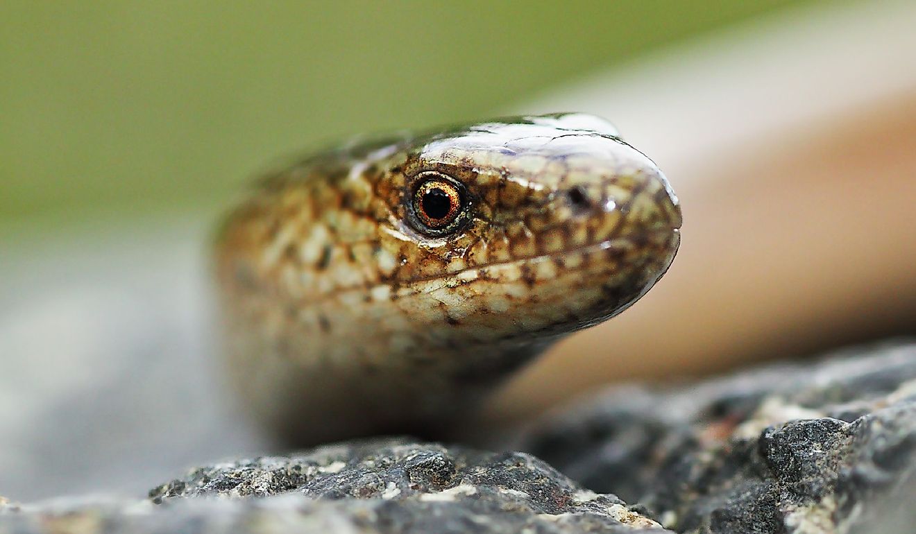
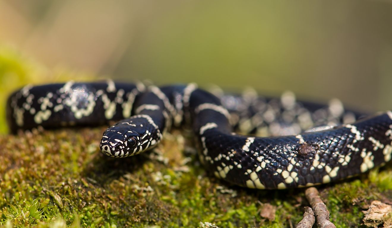
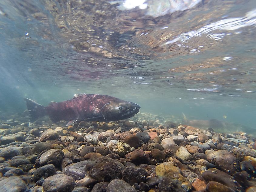
Once described as the finest stream in Iowa, the Cedar River has been home to an impressive variety of fish species as well as other plant and animal life. At one time, the Cedar River was home to the largest number of fish species of any river system in Iowa. On its last lap, the river contains the rare massasauga rattlesnake and up to 70% of Iowa's other reptile and amphibian species. On the banks of the river, a complex system of prairies and woodlands reign supreme. Trees such as silver maples often grow on the river's edge, dotting the thin line that separates land and water. Naturally, the shoreline of the Cedar River, with its dense shrubbery, is a perfect nesting ground for several species of birds. Yet conditions have never been consistently ideal.
Pollution and sedimentation have caused their fair share of havoc on the water quality. This, in turn, has considerably impacted the many animals and plants that call the river home. Because of sedimentation, the waters became muddier, significantly impacting fish demographics. Besides, sediments often bury rock rifles which are critical to fish habitat. This is because as the water speeds over the rock, it picks up decent amounts of oxygen. But with the rock rifles buried in a suffocating heap of sediment, oxygen levels plummet.
On the flip side, pollution has ensured that the countless mussels the river was once known for have all but vanished. For perspective, Austin, Minnesota, was once called "Pearl City" because of the pearls produced by a species of mussel. Reputed to be among nature's best filtration agents, mussels are known to filter bacteria and other poisons from a water system. Yet all is not lost. There are efforts to restore water quality in the Cedar River and re-introduce mussels.
The Takeaway
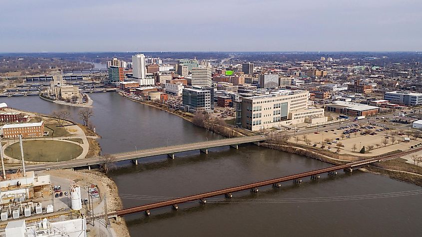
The Cedar River is the second-longest river in Iowa. It starts flowing from Southern Minnesota, especially in Dodge County, bubbles on to Black Hawk County in northeastern Iowa, and on to Colombus Junction in Louisa County, where it pours its waters to the Iowa River, the longest in the state. The river basin features a humid continental climate with significant temperature variations, as is often found in the temperate regions of the mid-latitudes. The Cedar River supports an impressive variety of plant and animal life, although pollution and sedimentation have generated a distressing ecological imbalance.
