Kangaroo Island
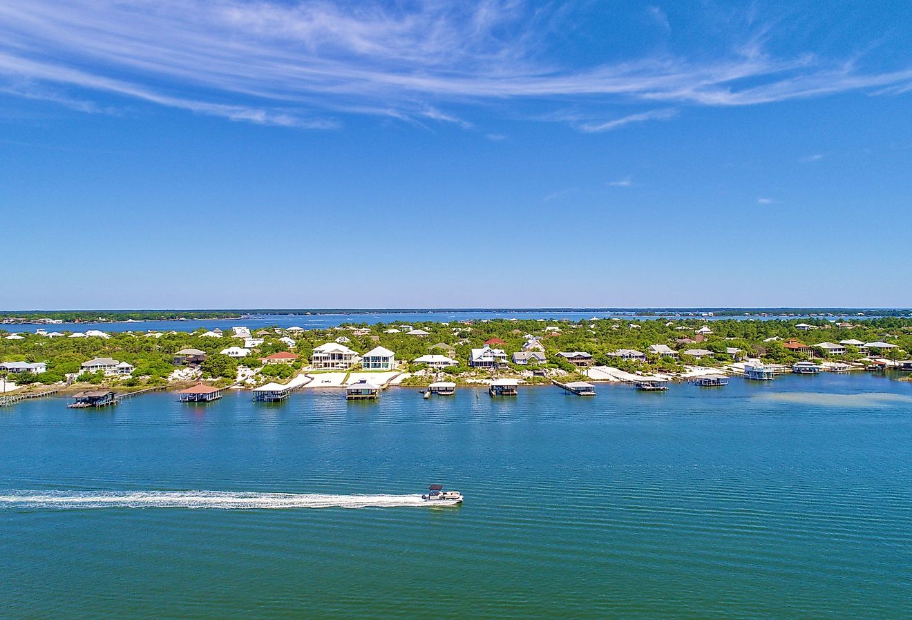
The sovereign nation of the Commonwealth of Australia consists of the Australian mainland and numerous other islands. Covering an area of 4,405 km2, Kangaroo Island is the third-largest Australian island after the islands of Tasmania and Melville.
Kangaroo Island is located in South Australia at the opening of the St. Vincent Gulf, about 112 km southwest of the city of Adelaide. In the northwest, the island is separated from the Yorke Peninsula by Investigator Strait and in the northeast, it is separated from the Fleurieu Peninsula by the Backstairs Passage.
Geography

The large Kangaroo Island measures about 145 km in length from west to east and between about 0.94 and 54 km from its widest to narrowest points. The island’s coastline is about 540 km in length. Located in the Flinders Chase National Park is the island’s highest point which rises to an elevation of 307 m. Mount MacDonnell, which rises to an elevation of 299 m, is the island’s second-highest point. The Pages island group is located in the Backstairs Passage in the eastern part of the island. The northern part of the island also consists of several fossil deposits. Located on Kangaroo Island is Kingscote, the island’s administrative and tourist center as well as its largest township. It is also considered the oldest European settlement in South Australia.
It has been estimated that more than 2,100 km2 of Kangaroo Island were destroyed by the catastrophic fires in the 2019-2020 Australian bushfire season.
According to Köppen climate classification, Kangaroo Island experiences a warm-summer Mediterranean climate with mild and wet winters and warm and dry summers. The hottest month is February with average temperatures between 20 to 25 °C, while in August average temperatures range between 13 to 16 °C.
Wildlife

A major portion of the island is protected under Conservation Parks, National Parks, and Wilderness Protection Areas. The principal protected areas of the island include the Seal Bay Conservation Park, Cape Gantheaume Conservation Park, Flinders Chase National Park, Cape Bouguer Wilderness Protection Area, and Ravine des Casoars Wilderness Protection Area.
Located in the extreme northwestern part of Kangaroo Island is the Flinders Chase National Park which is hosts a few endangered species and beautiful geological formations. The faunal species that are commonly observed on the island include echidnas, goannas, kangaroos, koalas, and the platypus. Remarkable Rocks and Cape du Couedic are two significant geological features that are found in the Flinders Chase National Park. The Seal Bay Conservation Park serves as the third-largest home for the endemic Australian sea lion. The Cape Gantheaume Conservation Park includes D’Estrees Bay and Murray Lagoon. Several avian species are found in Murray Lagoon including the clamorous reed-warbler, Australian spotted crake, and migratory birds like the banded-winged and the black-winged stilts.
BirdLife International has designated Kangaroo Island as an Important Bird Area since the island supports many important birds like the glossy black cockatoo, fairy tern, bush stone-curlew, rock parrot, blue-billed duck, black swan, Australian shelduck, Australian shoveler, red-tailed tropicbird Southern giant petrel, little penguin (the world’s smallest penguin), and Australasian grebe.
The island’s native faunal species include the common brushtail possum, Kangaroo Island kangaroo, long-nosed fur seal, Rosenberg’s sand goanna, short-beaked echidna, southern brown bandicoot, and tammar wallaby. The Kangaroo Island dunnart is the only vertebrate species that is endemic to Kangaroo Island.
Brief History

Due to rising sea levels, Kangaroo Island separated from the Australian mainland about 10,000 years ago. It is believed that the Aboriginal Australians (Kartans) once inhabited this island and referred to it as Pintingga (Island of the Dead). The English explorer Matthew Flinders first visited the island on March 23, 1802, and named the island Kangaroo Island due to the presence of the endemic western grey kangaroo. The island was often visited by different sealers and whalers. In 1836, the island’s harbor, Nepean Bay, became its first temporary settlement. Several shipwrecks have also been found along the coastline of the island. Some notable lighthouses on the island include Cape Willoughby, Cape Borda Lightstation, Cape du Couedic Lighthouse, and Cape St Albans Lighthouse.
The island’s economy is mainly dependent on agriculture, cattle farming, apiculture (honey from Ligurian honey bees), southern rock lobster fishing, and tourism. The island serves as South Australia’s most popular tourist destination and attracts more than 140,000 national and international visitors annually.
