Arkansas Delta
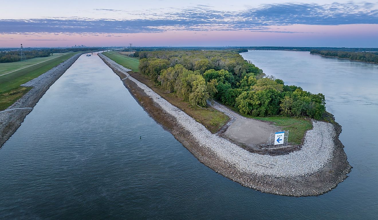
The Arkansas Delta is one of the six natural regions in the US State of Arkansas. The Delta region extends along the Mississippi River for some 402.34 km in length from the city of Eudora to the city of Blytheville. The delta region varies in width from east to west, from only 19.31km in Desha County to 146.45km from Little Rock - the state’s capital city to the Mississippi River. The region forms a part of Mississippi embayment, which in turn forms a portion of the alluvial plain of the Mississippi River in the south-central part of the United States.
Geography Of Arkansas Delta

The Arkansas Delta encompasses a significant portion of the eastern part of the US State of Arkansas and includes whole or small parts of about twenty-five counties. The Delta contains entire portions of about fifteen counties such as Arkansas County, Cross County, Clay County, Crittenden County, Chicot County, Craighead County, Drew County, Greene County, Desha County, Mississippi County, Lee County, Phillips County, Monroe County, St. Francis County, and Poinsett County. In addition to these 15 counties, the Arkansas Delta also contains portions of another ten counties. These counties include Jackson County, Jefferson County, Lawrence County, Lincoln County, Lonoke County, Prairie County, Pulaski County, Randolph County, White County, and Woodruff Counties. Some of the principal cities in the Arkansas Delta region include Jonesboro, Augusta, Pine Bluff, Stuttgart, Newport, Helena-West Helena, Blytheville, West Memphis, etc.
It is to be noted that though the Arkansas Delta shares several geographic similarities with the Yazoo-Mississippi Delta, it is distinguished from the Mississippi Delta by its five unique sub-regions. These sub-regions are the Arkansas River Lowlands, Crowley’s Ridge, Grand Prairie, St. Francis Basin, and the White River Lowlands. The land of the delta is comparatively flatter than any other region of the state, with the elevation ranging from 30.48m to 91.44m above sea level. This flat land is also influenced by many large rivers and small rivers and streams, including the Arkansas River, Mississippi River, White River, Yazoo River, and St. Francis Rivers. These rivers have helped erode the old deposits and build up layers of soil, gravel, and clay that have been transported from the slopes of the Appalachian and the Rocky Mountains. As a result, this delta region has been blessed with rich and fertile soil, and hence this Mississippi Alluvial Plain or the Arkansas Delta is one of the world’s most agriculturally productive regions. However, the lower part of the Delta is prone to flooding and poor drainage.
The Uniqueness Of The Arkansas Delta

About 60% of the delta region is used as farmland. The region’s fertile soil, temperate climate, and extended growing seasons help produce cotton, rice, sugar cane, soybeans, etc. The delta region also attracted many American settlers who developed cotton plantations and brought many enslaved African Americans for working in these plantations. However, after the Civil War, the area remained primarily underdeveloped, with the enslaved African Americans turning to sharecropping.
The Arkansas Delta is also well known for its rich musical heritage. The enslaved people from Africa brought their musical traditions with them. In the later years, this music was mixed with popular folk music and led to the creation of new sounds that were used to express the pain of these slaves. This eclectic music also led to the birth of both blues and rock and roll music in due course. Several of the country’s blue pioneers were born or lived in the Arkansas Delta region. At present, the delta region hosts many blues events throughout the year that attract a large number of visitors to the Arkansas Delta region.


